Thursday, November 30, 2023

Dagmar

To paraphrase Neil Gaiman: Many phenomena - wars, plagues, sudden audits - have been advanced as evidence for the hidden hand of Satan in the affairs of Man, but whenever students of demonology get together the stretch of I-40 between Little Rock and Memphis is generally agreed to be among the top contenders for exhibit A.

Especially in the rain.

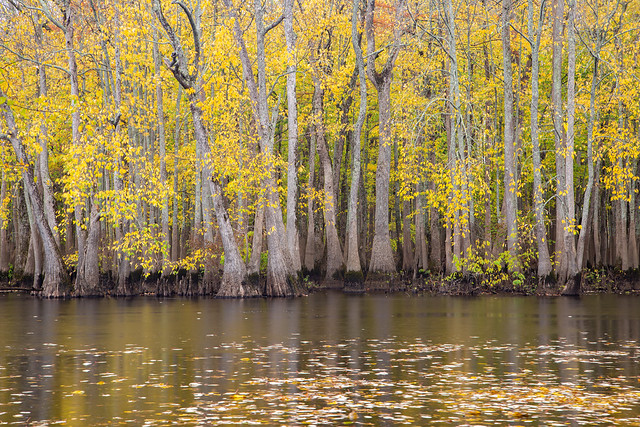
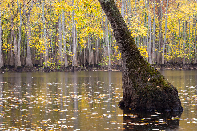
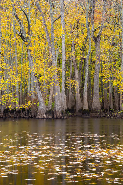
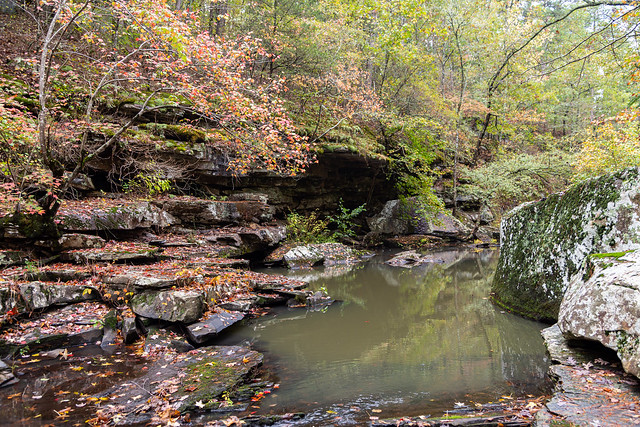
The trucks were either going  30 or 90 mph, and were kicking up so much spray it was like driving through clouds. But despite some tense moments on the freeway, we finally made it to our destination - the Dagmar Wildlife Management Area near Brinkley. It's a neat spot, and one that not very many people visit. There is a road that follows a bayou, which then ends at Hickson Lake. The rainy weather seemed to saturate the fall colors on the trees.

IMG_8624

IMG_8634

IMG_8626

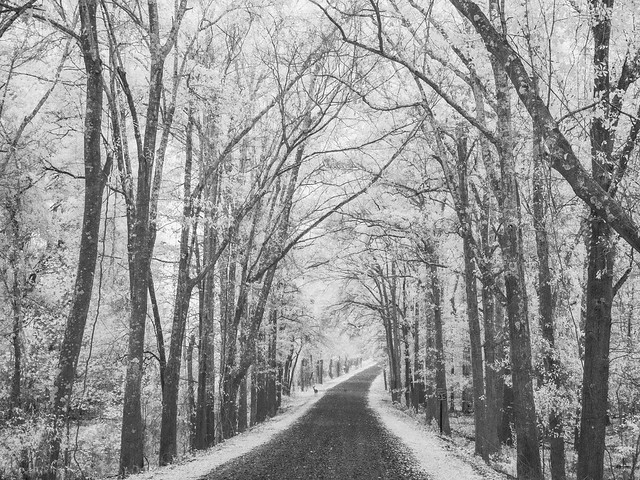
As we were leaving, I made a quick stop to get a shot of the dirt road heading through some trees. As I stood in the rain, a few deer walked across the road. One stopped and stood still long enough for a picture, like it was posing.

PB090093

Tuesday, November 28, 2023

Around Keo

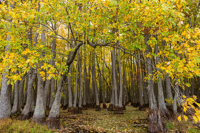
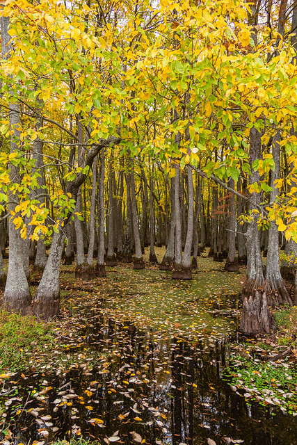
After leaving the Plum Bayou Mounds, we stopped by this small oxbow lake near the town of Keo. The lake was once a channel of the Arkansas River, and is now filled with thousands of cypress and tupelo trees.
IMG_8522-2

The fall colors here were close to peak, and seemed too look more saturated thanks to the rain that started falling.
IMG_8526-2

A little but further down the road, I pulled over in the rain and hurried to get a shot of this abandoned church:

IMG_8545

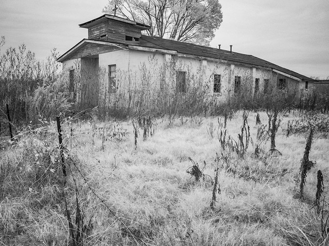
We headed north towards another abandoned church, which sits along a lonely stretch of gravel road. It looks like someone has been using the church as a place to dump some of their old furniture.

IMG_8555-2

On top of the church there was one of those roof turbines, those metal spinning things that look like a chefs hat. The door of the church was open, so I took a quick peek inside. While I was there, the turbine started to spin. In doing so it let out a metallic screech, which sounded like a ghost or banshee screaming. Needless to say, it was a little bit creepy and unnerving. Especially if you don't know what the sound is until you rush out of the church in a hurry....

The inside of the church was trashed. But the old piano still remained, sitting next to the broken windows along the wall.


IMG_8582

IMG_8574

A marker on the side of the church said it was the New Zion Chapel Baptist Church, and that it was "rebuilt" August 4, 1962. Wonder how long it's been abandoned?

IMG_8593

The roof turbine let out another wail as I took one last picture with the infrared camera:
PB090079

Saturday, November 25, 2023

Plum Bayou Mounds

Rising above the otherwise flat lands of the Arkansas Delta are the Plum Bayou Mounds, which were constructed by Native Americans well over a thousand years ago. Originally there were 18 mounds, which were built between the years 650 and 1150. They were built by the people of the Plum Bayou culture, and were used for religious and ceremonial purposes.

The Plum Bayou people built mounds in other areas, but the ones contained in what is now the Plum Bayou Mounds Archeological State Park were the largest. According to the Encyclopedia of Arkansas, "Eighteen mounds were arranged around two rectangular open spaces that were used for ceremonies. Today, one mound is forty-nine feet high, another is thirty-nine feet high, while a third is thirteen and one-half feet high; the original heights are unknown. All others are less than four feet high. Only one mound has been identified as a burial mound. Some were used as platforms for ceremonies, while others had residences of religious leaders on them. Excavations in five mounds have uncovered evidence that they were originally low flat-topped platforms constructed with soil. Several mounds were positioned to line up with the sun on the horizon at sunrise and sunset on the equinoxes and solstices. The position of the sun on the solstices established times that were important in the annual cycle of activities, both for farming and for rituals. A standardized unit of measurement, 155.8 feet, was also important in the placement of mounds, so that the site layout was planned."

It's not known why the site was abandoned after the 12th century. A few hundred years later, the mounds would be discovered and they were studied. But they weren't preserved, the lands were privately owned and farmed. Many of the mounds were plowed under and destroyed. The state of Arkansas bought the land in 1975, and it was later named a National Historic Landmark in 1978.

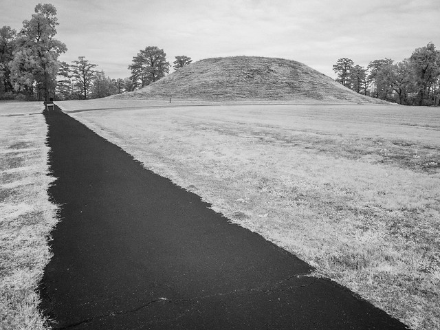
This is a view of Mound A, which is the largest in the park (and the largest prehistoric Native American mound in the state). It stands at 49 feet tall, and it's believed that a building used to sit on top of the mound that served as either a place to live or for conducting ceremonies.

PB090074

Thursday, November 23, 2023

Petit Jean

The heavy rains we had at the end of October actually produced enough water to get some waterfalls up and running. Which also coincided with some great fall color in the Ozarks. I decided to take a day off from work so I could make a trip up to Petit Jean, because surely the waterfall there would be running full-tilt after all the storms. And the weather prediction was for it to be cloudy all morning, meaning ideal conditions for waterfall pictures.

But as I headed to the park, the sun started to break through the clouds. I didn't think I'd have enough time to hike to the waterfall before the sun came out, but I thought I'd instead do a different hike along the creek. But all that didn't matter. I was saddened to see that there was hardly any water in the creek. In fact it didn't even seem like they had gotten much rain there at all.

But then I made a heartbreaking discovery.

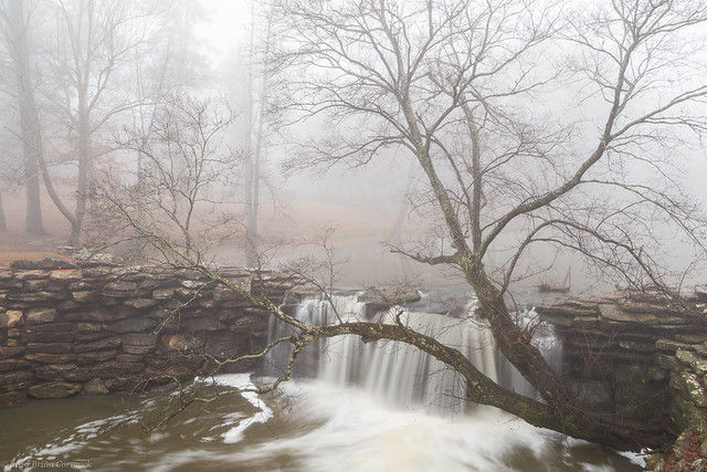
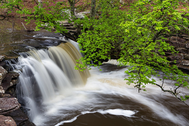
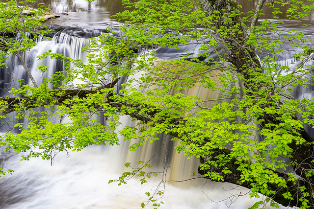
One of the most photogenic trees in Arkansas was at Petit Jean. It grew at the base of the stone dam that sits below Lake Bailey. It was perfectly placed next to a waterfall, and it was a location that I returned to many times over the years. Here are a few shots of it over the years:

Petit Jean

Petit Jean

Petit Jean

Petit Jean

But it's gone. The stone dam now seems so naked and empty. Where did the tree go???

Untitled

I decided to still do a short hike, even if there wasn't much water in the creek. The fall colors, which were peaking up in the Ozarks, were subdued. Most of the trees here were still green.

IMG_8299

IMG_8312

I then headed over and did the short walk through the Bear Cave area, as the sun finally broke through the clouds.

IMG_8375

And then I drove home. I still had the day off from work, which meant that I could squeeze in a nice little nap before picking up the kids from school that afternoon!

Monday, November 20, 2023

Mount Holly

It was a rainy weekend afternoon, so I hurried out to try to find some fall color pictures close to home. The only problem was that most of the trees weren't close to peak color yet, so it was a bit of a bust. I hit a few places and didn't like the pictures from there. I was about to give up and head home, but made one last stop at the historic Mount Holly Cemetery in downtown Little Rock. The old cemetery was established way back in 1843, and is filled with interesting statues and markers.

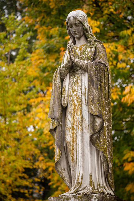
There was some decent fall color behind this statue, which seemed to be growing some lichen or algae that seemed to match the colors in the tree behind it...

IMG_8265-2