Friday, November 17, 2023

Finding Nebo

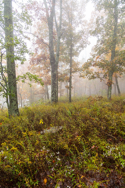
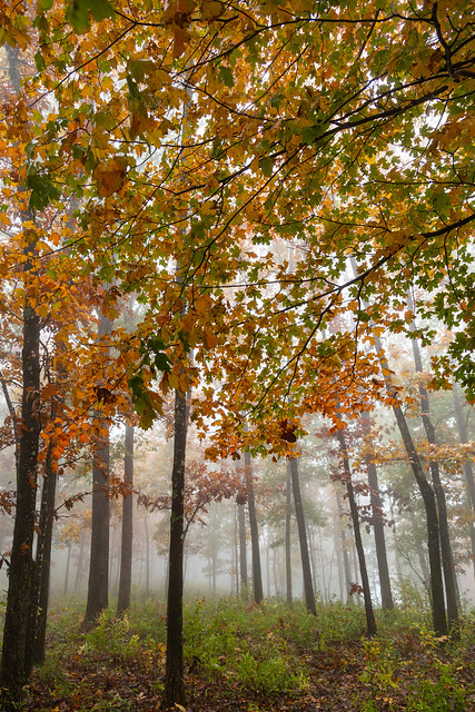
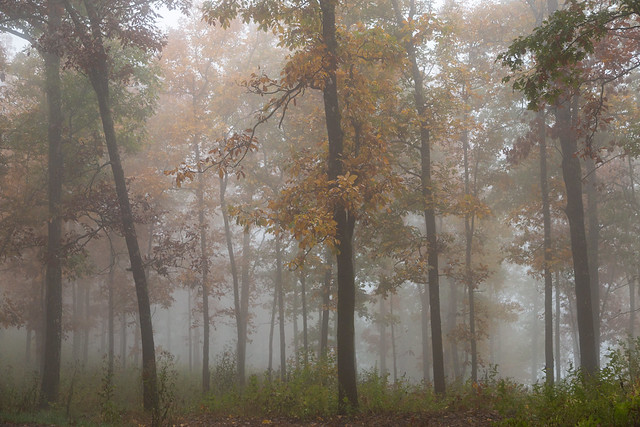
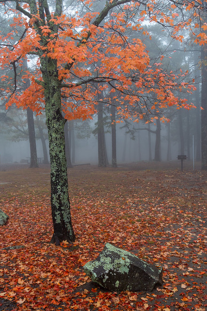
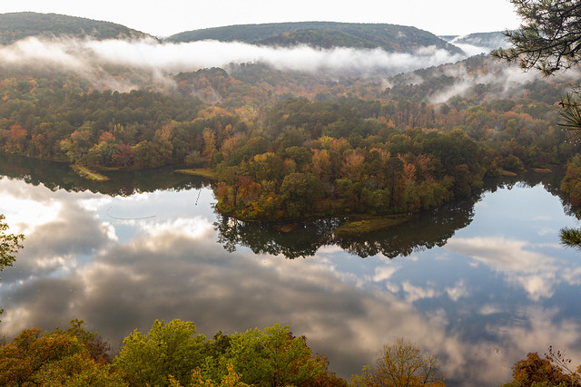
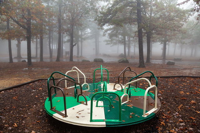
It was still pouring down rain as I drove towards home, but I did have enough time to make one last stop. So I exited off the freeway and made the curvy drive up to Mount Nebo State Park near Dardanelle. Mount Nebo sits at an elevation of 1,750 feet, which isn't that much compared to the mountains out West but it does rise dramatically above the Arkansas River Valley. I reached the top and, like White Rock Mountain, it too was covered by a thick blanket of fog. This was the view from the playground/picnic area:

IMG_8080

IMG_8067

IMG_8083

IMG_8100

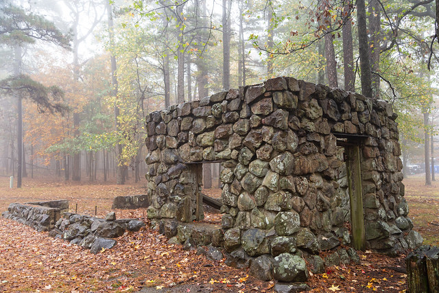
Mount Nebo has been a state park since 1927, but before that it was a popular resort location. In the 1890s, two large hotels were on the mountain, each with over 100 rooms. Visitors would ride steamboats up the Arkansas River, since it was always a little bit cooler on top of the mountain. Plus there are a few springs which people thought may have had medicinal powers. The hotels are gone now, but you can still find a few old buildings scattered across the park. This building here was once a maintenance shed that was built in by the Civilian Conservation Corps in the 1930s. The area that is surrounded by the low rock wall used to house a well and pumping equipment.

IMG_8129

Nearby was this small creek, which ran through a carpet of pine needles.

IMG_8141

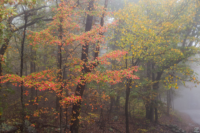
It was time to head back down the mountain towards home, but I couldn't help but stop a few more times to get pictures in the fog.

IMG_8185-3

IMG_8221

And the view looking back towards the mountain...

IMG_8229-3

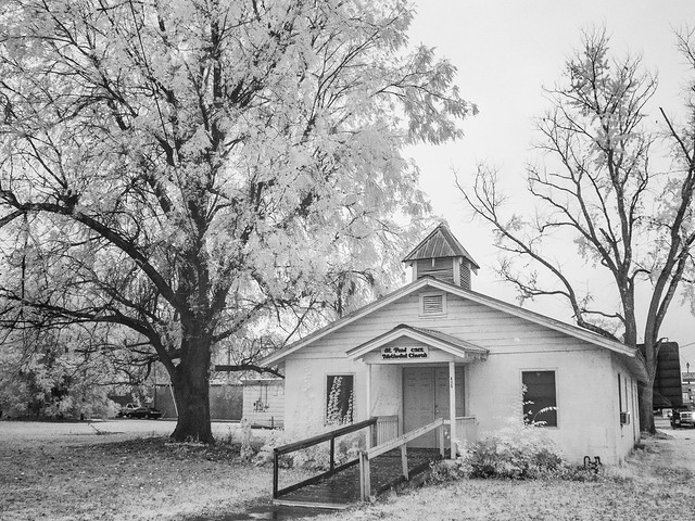
And then one last stop from the trip, before heading off to home. I drove by this old church in Dardanelle and quickly pulled over for a few shots...

IMG_8241

PA280043

PA280045

Wednesday, November 15, 2023

White Rock Mountain

From Shores Lake, it’s usually just a few miles up to White Rock Mountain. So I drove up, with the hope that I would get up there in time for sunset. But whoops, it turns out the road has been closed (thanks to two landslides). Luckily I had just enough of a cellphone signal so I could power up the GPS and get a new route to the mountain. It was supposed to be the “fastest” route, but alas, it would not be fast at all.

The alternative route to the mountain went along some narrow and bumpy dirt roads, which curved along through some thick forest. It got dark quickly, and then really foggy. So foggy that it was extremely hard to see anything out of the windshield. At one point the visibility was only about a foot or so. I gripped the steering wheel and went a glacial pace, sure that I was about to drive off the mountain or hit a deer or some meth-crazed hill person.

But eventually I made it to the top of White Rock Mountain, which is a scenic little spot with some cabins and great overlooks. The original plan was to wake up at sunrise and get photos of the fall colors from the overlook and mountain rim trail. But the fog had other ideas. The thick fog was still hanging around in the morning, meaning there was no view from the overlook. The fog and mist were so thick that it would make Stephen King proud.
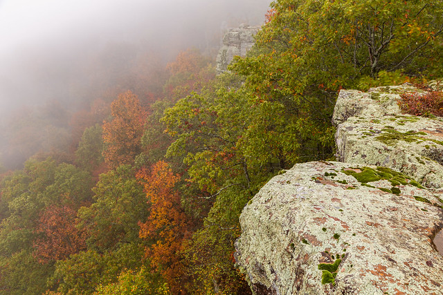
IMG_7805-2

For a comparison, this is what the view usually looks like....
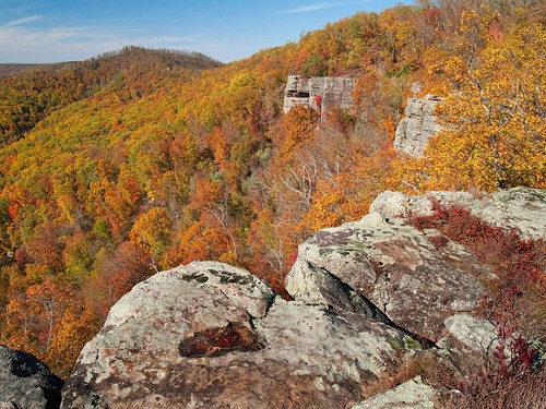
White Rock Mountain

Despite the lack of views, it was still amazingly scenic thanks to the mixture of fog and fall colors.

IMG_7813-2

IMG_7815

IMG_7821

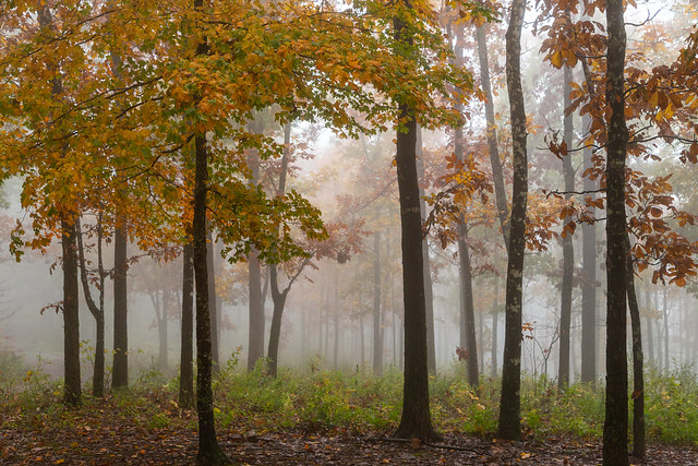
I slowly drove through the campgrounds looking for things to take pictures of, while the people camping were starting to wake up. The fog was joined with the smell of breakfast cooking and campfire smoke.

IMG_7828-2

IMG_7829-2

IMG_7835-2

IMG_7842-2

IMG_7886

IMG_7899-2

IMG_7911-2

IMG_7915-2

Since the fog didn’t seem like it would clear out anytime soon, I decided it was time to head out. My plan was to head down the mountain towards Cass, and then make my way towards Clarksville. There were a few places I intended to check out in that area.

My cellphone is a few years old and needs replacing. In its old age, it has decided to be frustrating and not like any of the charger cords I brought with me. So the battery level was low, and I decided to find my way out without the assistance of Google Maps in order to save what little battery life I had left. I drove by plenty of signs on the way up, so I assumed I would be able to make it down just fine. I mean I used to navigate just fine without cell phones in the past, what could go wrong?

You can probably see where this is going….

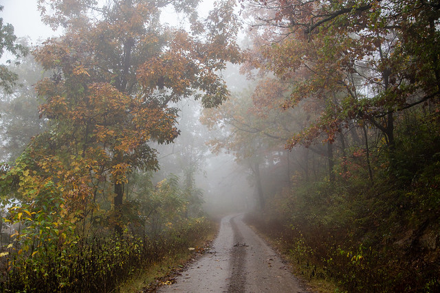
There was still thick fog on the muddy dirt roads, and it was also starting to rain. I stopped several times to take pictures:
IMG_7923-2

I eventually passed by a sign saying I was only a few miles from Mountainburg. Which was surprising, since Mountainburg is in the complete wrong direction from where I thought I was going. Somewhere back in the rain and the fog I must have missed a turn. I was way off course. Whoops.

At Mountainburg (which sits below Fayetteville), I got on the freeway in the pouring rain and headed back east. I’d have to adjust my plans, but I’d still be able to hit at least one more place before going home to Little Rock….

Monday, November 13, 2023

Shores Lake

After eating some burgers from the Oark Cafe, Zack and I tried to decide where to go next for more call color photos. We decided to visit a place called Fern Gully, which is a neat area that is popular with rock climbers (and sadly not the magical rainforest from the movie FernGully). So we drove off, but never did make it to Fern Gully. We got distracted along the way...

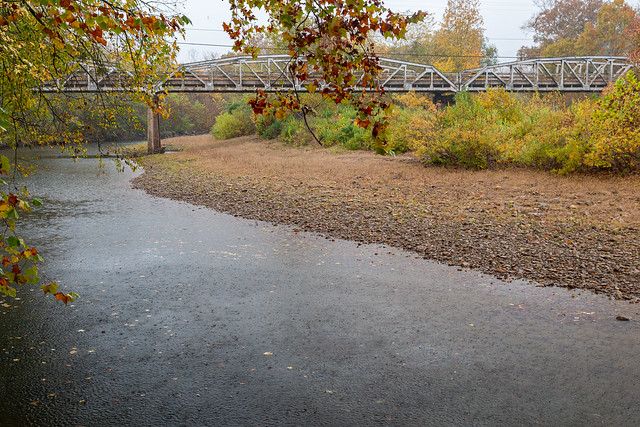
We made a quick stop at Turner Bend, along the Mulberry River. The bridge here is a "Parker pony truss bridge, with three spans and a total structure length of 446 feet." The bridge was built in 1935 and is one of the few remaining bridges of its type remaining in the state.

IMG_7425-2

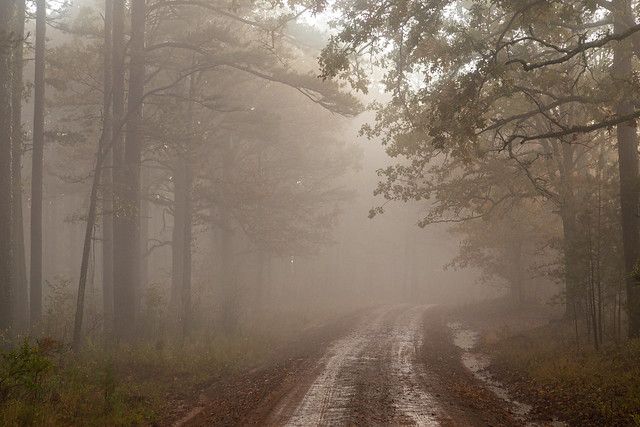
We left the pavement and went along the dirt road the points in the direction of Shores Lake and White Rock Mountain. But we soon pulled to a stop to get pictures of these pine trees. It was pouring rain while we were there, which looks like fog in the photo.

IMG_7427-2

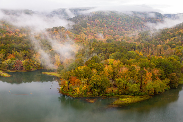
And then we made it to a small overlook of Shores Lake, and it was breathtaking. It had stopped raining, and thick fog was drifting along the lake and the mountains.

IMG_7439-2

IMG_7520-3

IMG_7583-2

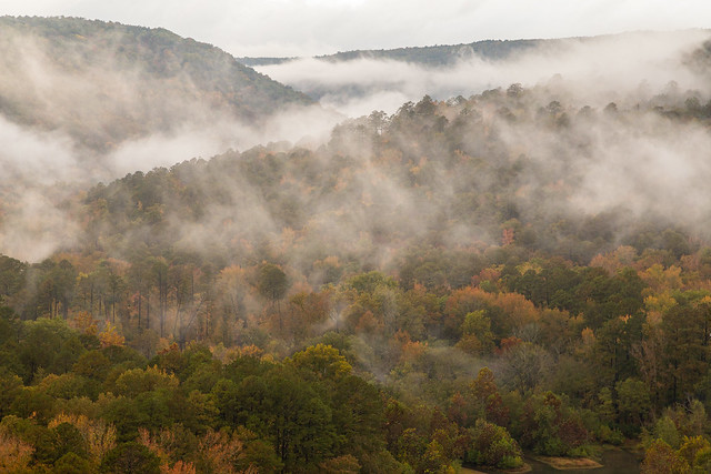
We spent a few hours here, watching the fog drift and move along the mountains.

IMG_7596

We never made it to Fern Gully, so we'll have to save that for another trip.

IMG_7613-2

IMG_7703-2

I was going to camp at White Rock Mountain that night, so I headed out and drove down the road to Shores Lake. The 82-acre lake is popular with campers and for fishing. I had to stop to get a picture from the shore of Shores Lake, as fog drifted amongst the trees and was reflected in the still waters.

IMG_7783

It was almost sunset, so I hurried to get up to White Rock Mountain before it got dark. Of course some closed roads and heavy fog would make for an interesting drive. More on that story on the next post....

Wednesday, November 8, 2023

Cass To Oark

The plan was to meet Zack at an overlook called Hanging Rock. So I headed up a very bumpy and muddy dirt road to the overlook, only to find that it was completely fogged in. So we changed plans and decided to drive the scenic road that connects the small communities of Cass and Oark.

Our first stop was at this scenic overlook, which provided this view of the Mulberry River.

IMG_7271-3

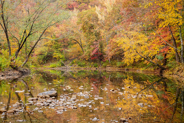
We headed on, and turned down a dirt road that crossed the Mulberry on a low-water bridge. This was the view from the bridge, with some great fall color reflected in the low water of the river.

IMG_7273-3

And the view of the bridge. The fall colors were so vibrant that it was hard to not constantly stop and take pictures.

IMG_7281-2

IMG_7298-2

The next stop was at one of the put-ins for the Mulberry, which is a popular place to canoe when there is more water in the river. No one was floating that day, but the water in the river did produce some great reflections of the fall colors.

IMG_7318-2

Down the road is this old church. I wasn't able to find out how old this church is, but it does look like it's been here for awhile.

IMG_7355-3

We drove further on, but then quickly made yet another stop at another put-in on the river. The water was low, but very clear.

IMG_7384-2

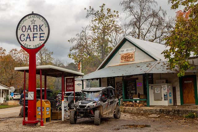
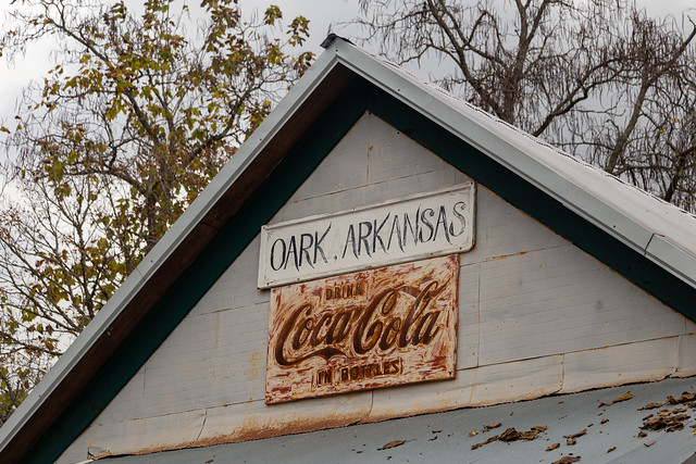
Despite our numerous stops to take pictures, we finally made it to Oark. The tiny community is the location of the Oark General Store and Cafe, which was established in 1890 and is considered to be the oldest continuously operating store in Arkansas. It was quite busy when we were there, the line of people waiting to order food was nearly out the door. And there was a constant stream of people stopping to get gas.

IMG_7411

IMG_7408

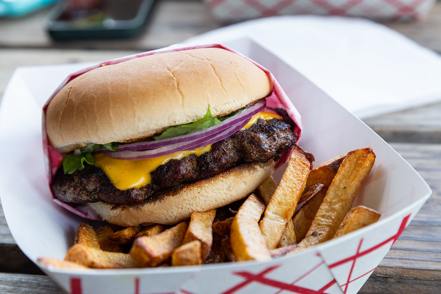
Of course we had to get lunch when we were there.

IMG_7412-2

Just south of Oark was this old home, which looks like it's been abandoned. I hurried to get a quick picture before we headed out to try to get more shots of the fall colors. Stay tuned here for those pictures!

IMG_7420

Saturday, November 4, 2023

The Pig Trail

The Pig Trail is one of the most scenic roads in the state, and one of the funnest roads to drive on. The stretch of Hwy. 23 north of the town of Ozark curves and dips along the Ozark Mountains, through deep forests of tall oak and spruce trees.

I headed up there last weekend to meet up with Zack, so we could try to take some pictures of the fall colors. The colors in the mountains were right at their peak, and the weather conditions were cloudy and foggy (perfect!). We had arranged to meet up at an overlook, but I was running late because I kept getting distracted by so many things to stop and take pictures of. Like mountains covered with orange and yellow trees, and drifting fog...

IMG_7113-3

And old barns...

IMG_7119-3

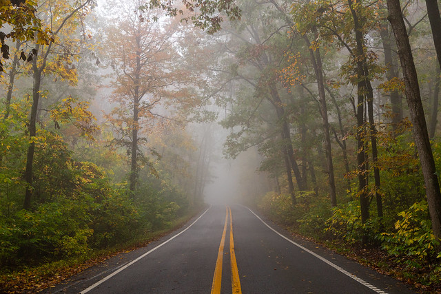
At one point the road enters what seems like a "tree tunnel," and I found a safe place to pull over and park for a few pictures. 

IMG_7126-2

And I know it probably really doesn't make sense to take pictures with a camera that only shoots in black and white on a day when the fall colors were peaking, but it did look kinda neat with the infrared camera too.

PA270006

And a bit of a wider shot, after some of the fog had moved down the mountain. Luckily there wasn't much traffic out that day.

IMG_7158

I couldn't help but stop a little bit down the road again.

IMG_7231-2

PA270015

IMG_7235

IMG_7240-2

It was about this point that I realized I was long overdue from the time I promised to meet up with Zack. I sent him a text which said "Distracted by foggy road shots." He almost immediately responded with "I knew it!" I hurried back to the car, eager to see more of some peak fall color in the Ozarks...