Tuesday, December 26, 2023

Death Valley - Devil's Cornfield & Harmony Borax Works

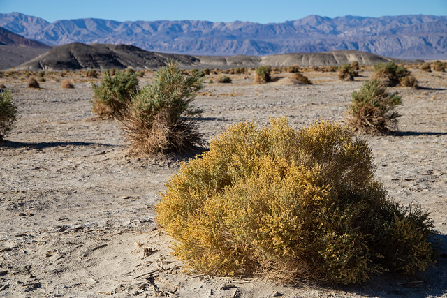
Not too far from the Mesquite Flat Sand Dunes is the Devil's Cornfield, which is actually a large field of Arrowweed. This is a large shrub that can grow up to nine feet tall, with stems that were once used to make arrows. This area was named the Devil's Cornfield because, supposedly, early settlers saw the clumps of Arrowweed from a distance and thought they were corn shocks.

IMG_9782

Arrowweed was probably used by Death Valley's first residents - the Timbisha Shoshone people. According to the NPS, they "hunted and followed seasonal migrations for harvesting of pinyon pine nuts and mesquite beans with their families. To them, the land provided everything they needed and many areas were, and are, considered sacred places." Their tribal homeland contained the valley, where they lived in the winter, and also the surrounding mountains where they lived in the summer to escape the heat. In modern times, a small Timbisha village sits in the valley, near the Furnace Creek Visitor Center.

IMG_9789

Death Valley got its name thanks to travelers trying to find a shortcut to California during the Gold Rush of 1849. They wandered into the desolate and alien landscape of the valley, only to get stuck finding a way through the Panamint Mountains. After several months, where they had to eat their oxen to survive, they were finally rescued. As they made their way out, one of the travelers is said to have looked back and said "Goodbye, Death Valley."

Of course it's much easier to get around in the Valley these days.

IMG_9791

I can't imagine what it must be like to be here in the heat of the summer, let alone back in the olden days.

IMG_9822

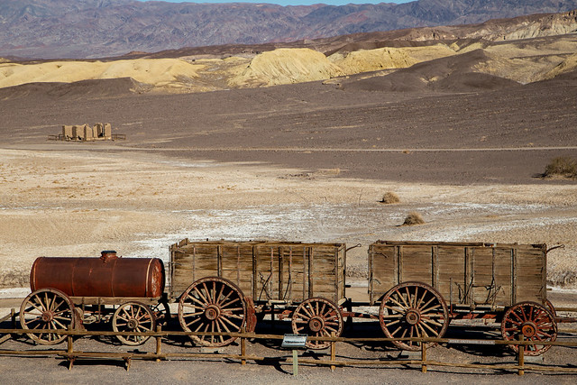
In the 1880s, silver and borax were discovered in Death Valley. Soon several mining camps were established, one of the most prominent being the Harmony Borax Works. The Harmony plant opened in 1884, with workers harvesting and processing borax. It employed up to 40 men and would produce up to three tons of borax daily (except during the summer, when the workers would temporarily move to another plant in a cooler location). To transport the processed borax out, they would use large mule teams and double wagons to haul it out of Death Valley and along an overland trek to Mojave. The "20-mule team" is still used as a symbol for the borax industry, which is used for cleaning supplies.

At the ruins of the Harmony Borax Works, you can see one of the old mule trains. In the distance you can see the remains of one of the buildings from the borax camp.
IMG_9846

The Harmony Borax Works went out of business in 1888. In 1933, President Herbert Hoover put the lands under federal protection when it was named the Death Valley National Monument. In 1993, it was redesignated as a National Park.

IMG_9864

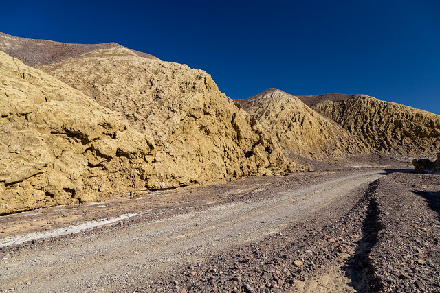
From the Borax Works, there is a small dirt road that runs through a small canyon named Mustard Canyon after the yellow walls of rock. I tried looking on the map to see if there were any other areas named after condiments (like a Ketchup Chasm, Mayonnaise Mountain or Relish Ridge) but had no luck. They must be in areas where the roads are still closed.
IMG_9893

Saturday, December 23, 2023

Death Valley - Mesquite Flat Sand Dunes

We were able to book a room at the Ranch at Death Valley, one of the few hotels that operates within the park boundaries. I've never stayed inside one of the National Parks before, and it was nice to not have to spend two hours each day driving in from the nearby towns of Pahrump or Beatty. The only downside was the food options. They know you are a captive audience, so the dinner options were way overpriced and not all that good.

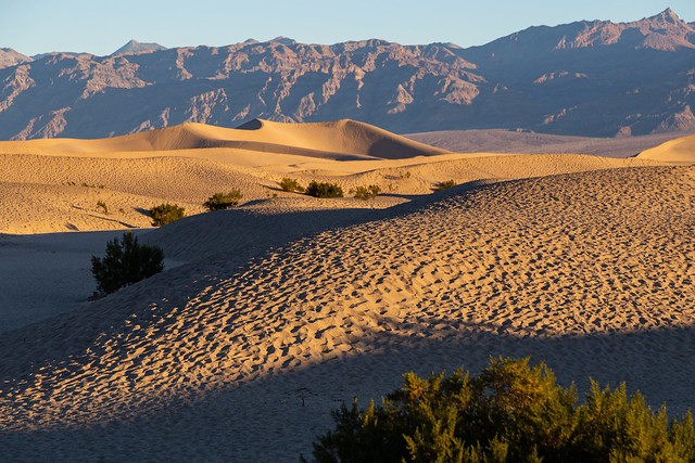
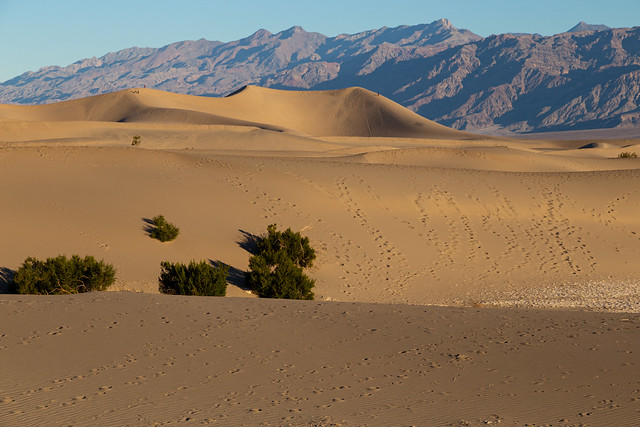
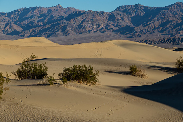
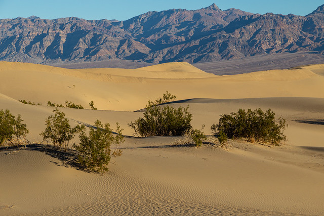
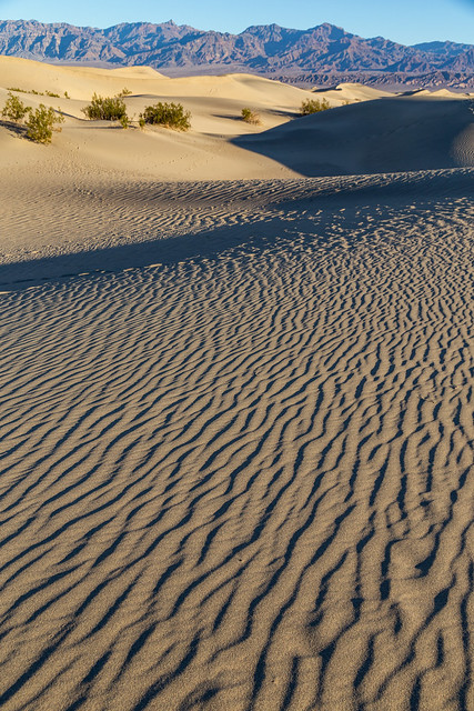
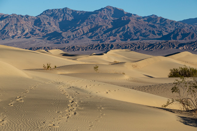
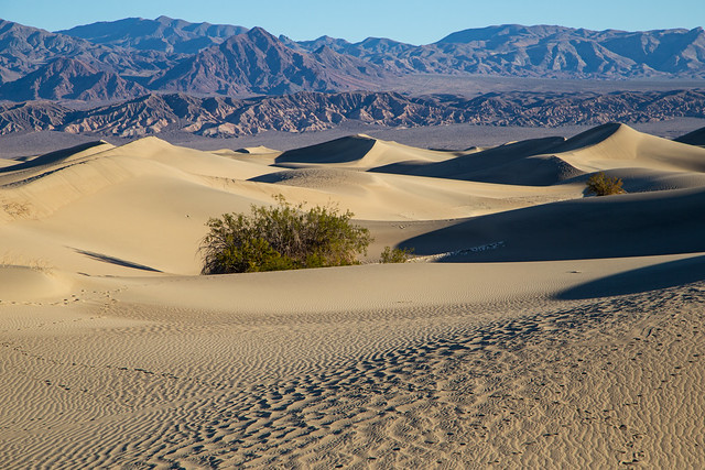
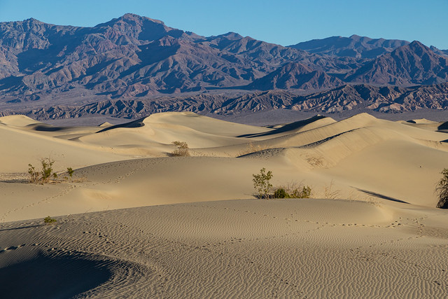
So it was nice to not have to wake up too early to drive out to the Mesquite Flat Sand Dunes at sunrise. The sand dunes seemed to be one of the most popular areas of the park, at least judging by the thousands of footprints in the sand. It looked cratered, like the surface of the Moon.

IMG_9449

The National Park Service says that it takes three ingredients to form the dunes: sand (obviously), wind, and a natural barrier to keep the sand in place.

IMG_9512

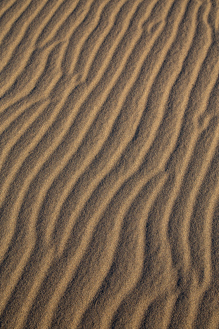
The sand at Mesquite Flat is made up of eroded bits of quartz and feldspar, and came from the Cottonwood Mountains to the north of the dunes. The wind picks up the sand and carries it to the valley, where it is blocked from escaping by the mountains to the south of the dunes.

IMG_9517

IMG_9535

IMG_9544

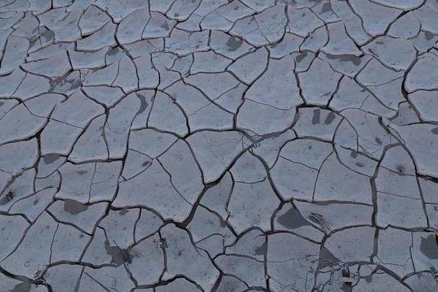
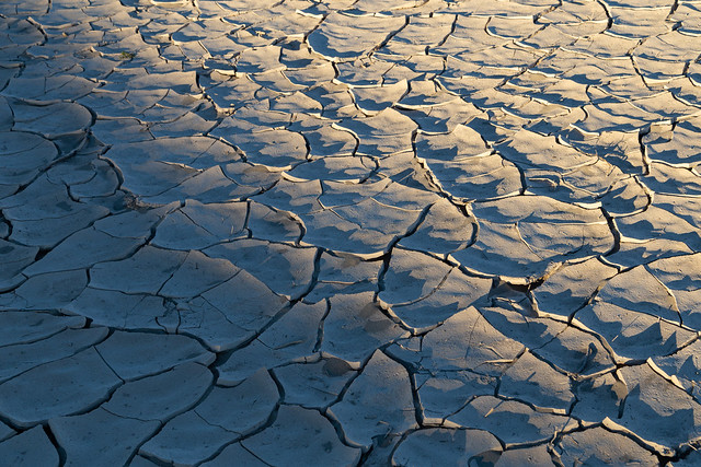
In between the dunes you can see cracked mud on the ground. This is actually the clay remnants of an ancient lakebed. You would be able to see more of it, but the sand dunes have covered most of it up.

IMG_9553

IMG_9554

These sand dunes have been used in lots of movies. And of course, they filmed some here for Star Wars. I can only imagine the film crew having to carry R2-D2 up over the dunes. At 0:59 in this video, you can easily recognize the red-colored mountains of Death Valley in the background of the shot.


IMG_9575

The tallest sand dune at Mesquite Flat is called Star Dune and rises to a height of about 140 feet.

IMG_9583-Edit

We didn't walk to it, instead we went a different direction where there would be fewer footprints. Managed to find a few places without any prints (or with a small enough amount that they could easily be photoshopped out).

IMG_9587-Edit

IMG_9616

I was a little annoyed at all the footprints, and at all those careless people who had messed up my shots. Then I realized that all my footprints that morning were ruining some future photographer's pictures. Sorry!

IMG_9625

There are a few other places within Death Valley where the conditions are just right to form sand dunes. Mesquite Flat is the largest by area, but the other places have dunes that are taller. I wasn't sure if the roads to those areas were open while we were there.

IMG_9630

The Mesquite Flat dunes are named after the many mesquite trees that grow here. The trees have adapted to the sand, they twist as they grow to avoid being buried by the sand. The mesquite bean pods were a traditional food for the Timbisha Shoshone, the first people to live in Death Valley.

IMG_9634

IMG_9643

IMG_9663

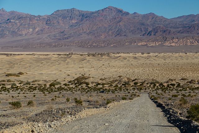
We made it back to the car and was about to drive off when we saw a small dirt road that ran up the side of the mountain. Curious to see where it went, we headed that way. It went to a small parking area, which provided a good elevated view of the sand dunes. Seeing it from here really showed the scale of the dunes, and how they have spread across the valley.

IMG_9712

And it was nice to be so far away that you couldn't see all the footprints on the dunes!

IMG_9730

IMG_9739

Thursday, December 21, 2023

Death Valley - Dante's View

For awhile, it seemed like we weren't going to be able to make this trip to Death Valley. A hurricane passed over the park in August, dropping about two inches of rain. Which doesn't sound like much, but to Death Valley it was a deluge of Biblical proportions. The park usually only gets two inches of rain per year, and the rain that fell from the hurricane set the record as the most ever recorded in a single day. It caused significant flash flooding, which resulted in extensive damage throughout the park. Many of the roads were washed out and destroyed, or covered under debris. The park was closed for months while undergoing repairs, which must not have been fun to do in the summer heat.

Thankfully, the main road was fixed enough for the park to partially reopen in October. But the backcountry roads are still damaged and remained closed. Which isn't surprising, since Death Valley is a huge place and there are lots of roads to fix. It is actually the largest National Park in the lower 48 states, and is larger than Delaware and Rhode Island combined. All this meant that we wouldn't be able to visit some of the most famous places in the park, like the Racetrack Playa or the Ubehebe Crater.
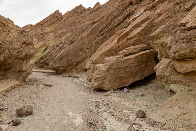
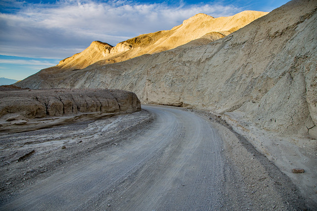
But there were lots of places to see that were open. So while on the way to Dante's View, we detoured and visited the Twenty Mule Team Canyon.

IMG_9234

A few scenes from Star Wars Episode VI: Return of the Jedi were filmed here. Which isn't surprising, since it again looks like a desolate alien world.
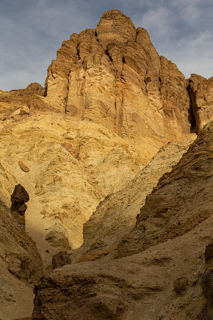
IMG_9248-2


The canyon gets its name from the days when there was borax mining in Death Valley. The borax was transported out of Death Valley on wagons that were pulled by 20 mules. Although we didn't see them, apparently you can still see some of the mines along the drive.
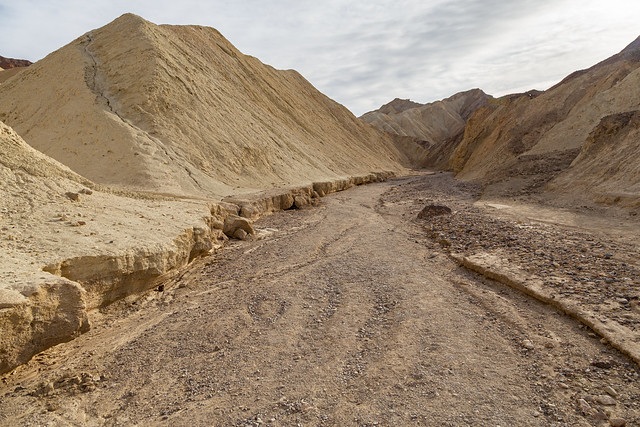
IMG_9253-2

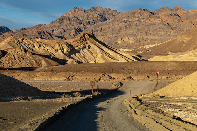
The drive is along a dirt road that twists and curves around some mudstone hills, which were made from lakebed sediments that were deposited about 7-9 million years ago. It was late afternoon and the light was a bit harsh, but we made lots of stops for pictures.

IMG_9264

The rental car got covered in dust, but otherwise it held up well on the drive.

IMG_9267

From there we took the road to Dante's View, which ran way up to the top of a ridge along the Black Mountains. The viewpoint is far above the valley that we were in earlier, and sits at an elevation of 5,575 feet.

IMG_9301

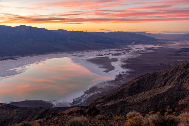
The view is incredible. And oddly enough, from here you can easily see the highest point in the park (Telescope Peak at 11,043 feet) and the lowest point in the park (Badwater Basin at -282 feet).

IMG_9324-2

And of course, this is another spot where they filmed a Star Wars. When Obi Wan Kenobi is showing Luke Skywalker the Mos Eisley Space Port in the first film ("you will never find a more wretched hive of scum and villainy"), they were standing at this overlook.


IMG_9339

Some clouds rolled through, and ended up producing an amazing sunset. The sunset was even reflected in the lake at Badwater Basin.... 

Which isn't a sentence you can usually say. 

The lake is a byproduct of the heavy rains from the hurricane. It is massive, and stretches for miles across the basin (although it's only just a few inches deep). It's slowly shrinking as the water evaporates, so it won't be around for too long. I'm very thankful that the park was able to reopen and were able to see it.

IMG_9397-Edit

Wednesday, December 20, 2023

Death Valley - Golden Canyon

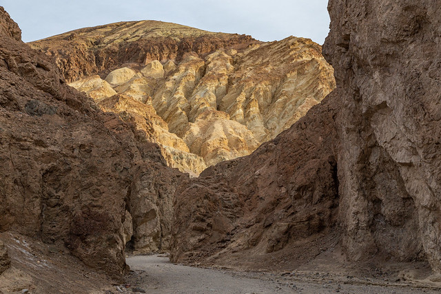
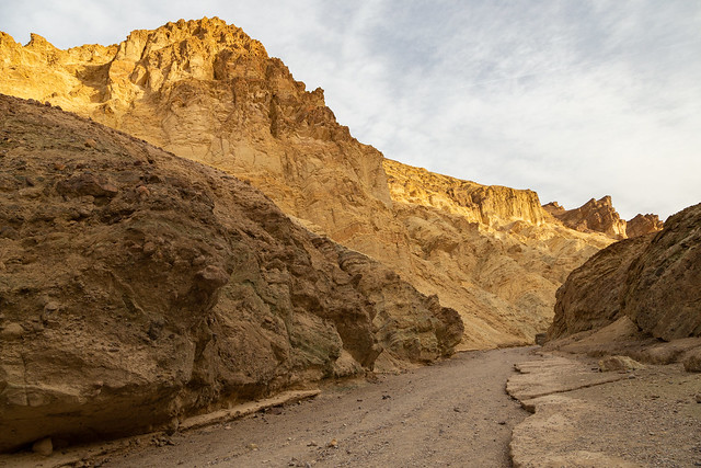
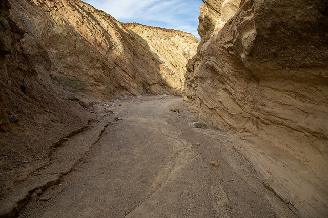
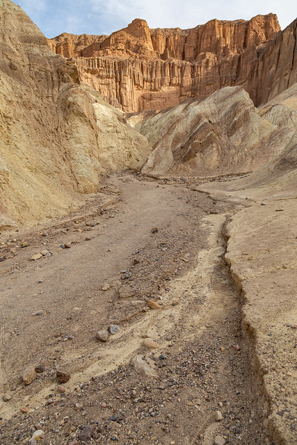
After Zabriskie Point, we made a short drive to the parking area for the Golden Canyon trail. The trail runs through a canyon, which as the name suggests, is full of rocks that vary from reddish-brown to a soft golden color. It's one of the most popular trails in the park, and was a nice little stroll.

IMG_9014-2

If it looks familiar, it may be because they filmed several scenes from Star Wars here in Death Valley. The Golden Canyon trail was used for the scene in Episode 4 where R2-D2 is alone and going through a canyon while being spied on by Jawas. It was a good place for them to film, since the landscape here does resemble a desolate alien planet.

IMG_9020


There used to be a road that went through the canyon, and you can still see occasional patches of concrete. But a flash flood in the 1970s washed out and destroyed the road, and it was never replaced.

IMG_9028

Death Valley is famous for its extreme heat. The hottest temperature ever recorded was here (134 degrees), and in the summer the average temperature is about 120 degrees. Luckily we were here in December, and the high temps never went above the 60s. It was actually a little chilly that morning when we started the hike.

IMG_9052

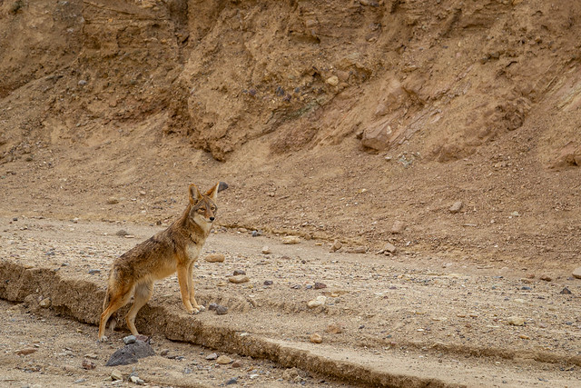
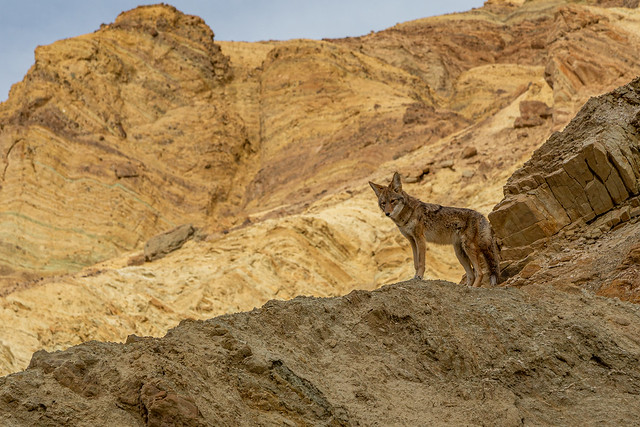
The trail is popular, and we saw several other hikers. But it was never too crowded. But at one point we did share the trail through the canyon with another sort of hiker - a coyote.

IMG_9076-2

He seemed to ignore us and climbed up the canyon walls, finding a spot where he could survey the landscape and keep a lookout (possibly to find any roadrunners?).

IMG_9124

As the sun shined higher in the sky, it lit up more of the canyon.

IMG_9129

IMG_9085

One thing about Death Valley that really stood out was how quiet it was. There was no wind, no trees, no insects. The only sound we heard was the crunch of our footsteps on the rocks.

IMG_9150-2

IMG_9158

Eventually we reached the end of the Golden Canyon. There were a few other trails that diverged from the yellow canyon, going in different directions. One went up towards Zabriskie Point and Manly Beacon. But we took another that went off for another half-mile towards a place called the Red Cathedral. The Cathedral is the reddish mountain in the distance of the picture below. It looks tall, but oddly enough it only rises 943 feet above sea-level. For a comparison, Pinnacle Mountain in Arkansas is taller at 1,011 feet above sea-level. It was an odd experience to see these mountains, and yet be so close to sea-level. Death Valley is a surreal place.

IMG_9185

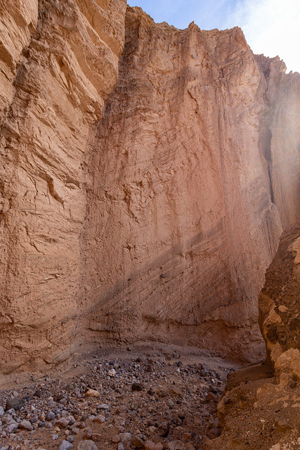
The National Park Service has kindly rated this extra bit as a moderate hike. It was definitely interesting, at one point you have to crawl along through some narrow gaps in the canyon. The trail ends up at a sort of natural amphitheater at the base of the Red Cathedral, where the red rock walls rise up dramatically for several hundred feet above you.

IMG_9229

There is a small side trail that leads off to the side, which another hiker told us was like a "stabby Slip 'N Slide." The trail is a definite scramble as it switchbacks up the mountain, but it provides an amazing view of the badlands below.

IMG_9190

For a bit of scale, if you look closely at the bottom of this picture you can see another hiker.

IMG_9203

After that we turned around and headed back to the trailhead. We were not attacked by any Jawas or Tusken Raiders on our way back to the car.

Tuesday, December 19, 2023

Death Valley - Zabriskie Point

Death Valley National Park is just a two hour drive away from Las Vegas, but it feels a world apart. And after a day spent submerged in the thick crowds and flashing lights, I was eager to get out of town. My Aunt was flying in, so I picked her up from the airport and we drove west towards California.

We had a late start, so we got to the park around sunset. We hurried to Zabriskie Point, as the last of the day's light faded away.

IMG_8864-2

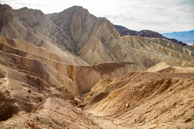
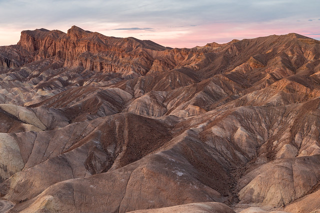
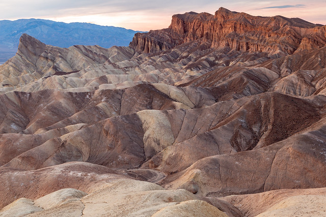
Zabriskie Point is one of the park's most popular overlooks, and the view from there is spectacular. A series of eroded badlands stretch out in front of you, with salt flats and towering mountains in the distance.

IMG_8883-3

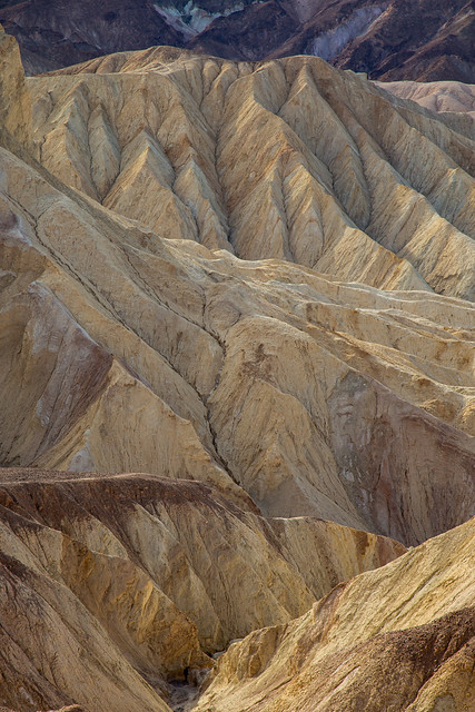
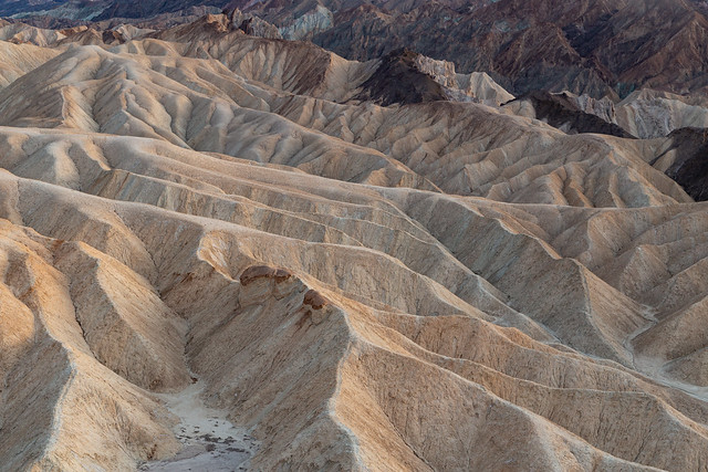
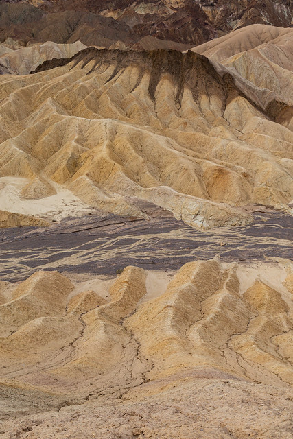
The badlands are the geologic remnants of a vast lakebed that existed millions of years ago. The lake dried up, and the lands were uplifted. Erosion then created the carved and multi-colored badlands that we see today.

IMG_8907-2

One of the most notable features of the view from Zabriskie Point is Manly Beacon. While it sounds like one of those all-male dance shows that was advertised along the Strip in Las Vegas, it's actually a prominent peak that stands over the badlands. It's a little shocking to see that it has an elevation of only 823 feet, which really doesn't seem like it's all that much until you remember how close we were to sea-level there. The point was named after William Manly, who rescued several pioneers who had gotten lost in Death Valley during the 1849 Gold Rush.

IMG_8887-2

We ran out of light, but returned the next morning at sunrise. It was interesting to see the subtle differences in light play out across the badlands.

IMG_8967-2

IMG_8989-3

The view from Zabriskie Point has been used in lots of different movies and TV shows, and was the backdrop on the cover of the U2 "The Joshua Tree."

IMG_8981-2

After taking a few pictures, we then headed over to a nearby trail that would provide a different perspective on the nearby mountains and badlands...