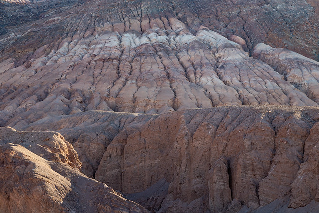
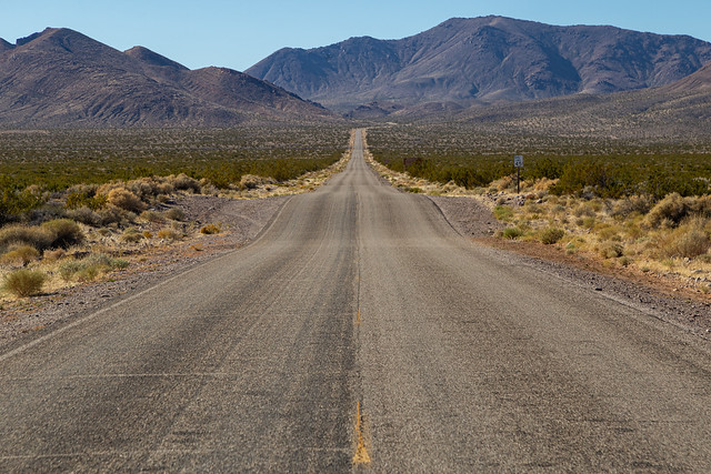
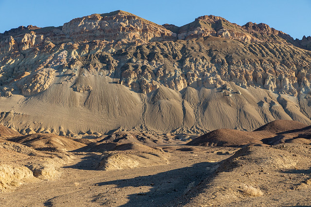
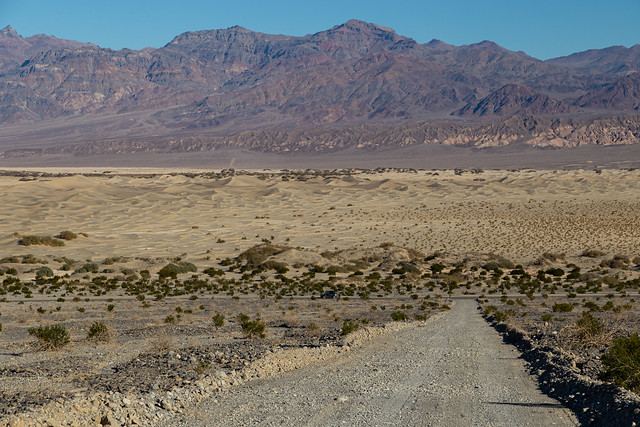
This was our last few hours left in the park. We would need to check out of the hotel, and then drive back to Las Vegas. But we tried to see as much as we could in the limited time we had. We drove up the turn-off to the trail to the Natural Bridge. We didn't have time to hike the trail, but took some pictures of the massive eroded mountains at the trailhead.
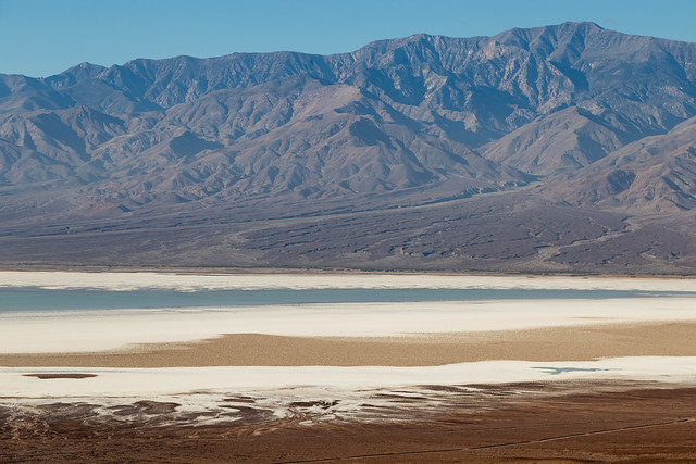
The trailhead also had this view, looking back at the valley below. It really shows how large and vast the landscape here is. You can see the temporary lake that stretches across to Badwater Basin, the white saltpan, and the darker formations of the Devils Golfcourse. For a sense of scale, the lines that you can see at the bottom of the picture are roads.
After that we took the turn to the trailhead for Desolation Canyon. We didn't have time to hike the whole trail, but did walk along it for a few minutes to get a better look at these massive mountains.
But now, sadly, it was time to check out of the hotel. We packed up our stuff and loaded the rental car up. It was windy that day, enough that it kicked up a lot of the dust and sand. In some places, it almost looked like a little sandstorm was going on.
And then we reached the park boundary, and stopped to take one last picture. Like those lost 49ers, I looked back at the park and said "Goodbye, Death Valley." Then we headed across the border into Nevada.
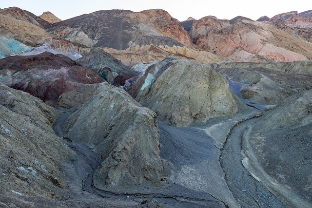
Tucked off of the road to Badwater Basin in Death Valley is the aptly-named Artists Drive, which provides an up-close view to the tall mountains that line the valley.
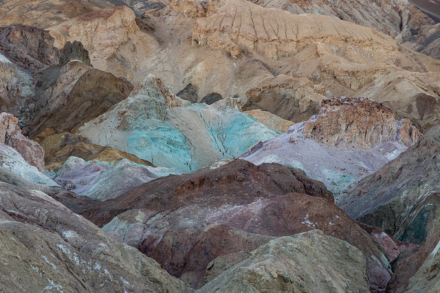
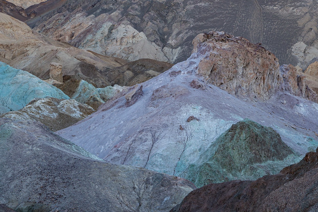
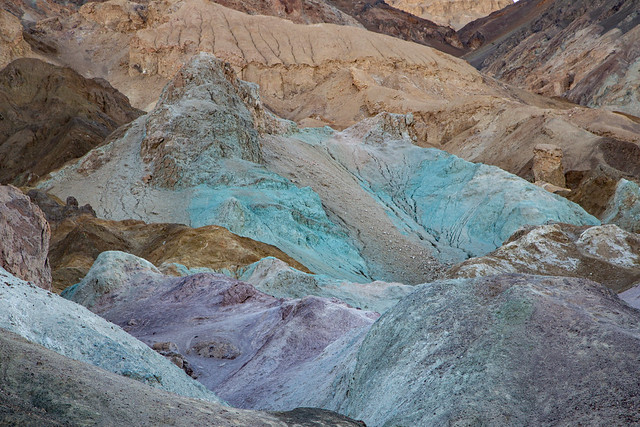
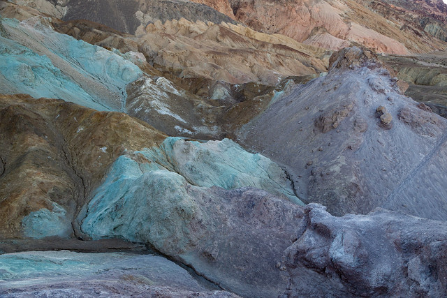
We stopped at the main overlook, called Artists Palette. The rocks here look like they were painted, in so many colors that it would make Bob Ross happy.
The colors are from ancient volcanic deposits, where oxidation and other chemical reactions produced various colors in the rocks
The red, pink and yellow colors were caused by the oxidation of iron. The green was from the decomposition of tuff-derived mica. And the purple is from the oxidation of manganese.
For a place filled with almost nothing but rocks and sand, Death Valley has so many different and varied landscapes. It's a really neat place.
We were there right after sunrise, while the mountains were still covered in shadow.
We got back on the Artists Drive road, which then headed up to an overlook of the Black Mountains.
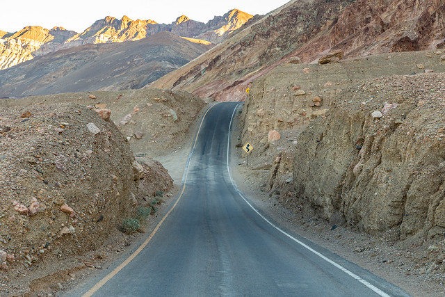
And then it passes through hills carved by erosion. Luckily there weren't many other people out that morning so we could make lots of stops on the one-way road.
And then the drive ends with one last view of the vast saltflats of the valley.
Usually when we make trips out West and go hiking, I can blame me being worn out and tired on the elevation (instead of just being out of shape). But I didn't have that excuse this time, since a good portion of Death Valley sits below sea level. And one spot in Death Valley is the lowest spot in all of North America - Badwater Basin, which sits at an evaluation of -282 feet.
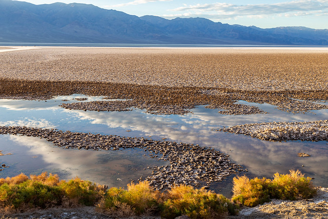
The small pool of water here is what actually gave the basin its name. It is a spring-fed pool, and back in the olden days a surveyor led his mule here to get a drink. The mule refused, because the water was "bad." Turns out it's not poisonous, just really salty. There are some aquatic animals that live in the pool, including the Badwater snail, which is only found here in this valley. The plants along the pool are pickleweed.
And another view of the pool, where the nearby mountains were reflected in the still waters.
Badwater Basin was once a large inland lake that completely evaporated tens of thousands of years ago. When it was gone, it left behind concentrated deposits of salt. Now the saltflat stretches on for about 200 square miles. It's hard to tell in the pictures, but the place is massive.
There usually isn't this much water here. This is all runoff from the hurricane that passed over the park a few months ago. Death Valley is a rocky place, with little to no vegetation. So all the rain that fell quickly ran down to the lowest point, where it has collected here. It won't absorb into the salt, so the water will remain until it's slowly evaporated away.
Badwater Basin is the lowest place in North America, but not the world. That distinction belongs to the Dead Sea, which has an elevation of -1,358 feet below sea level.
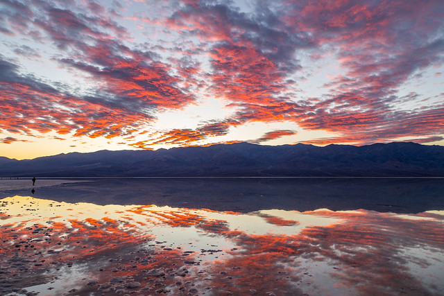
It had been bright and sunny all day, but some clouds appeared and helped to make a nice sunset that evening. The color in the sky reflected nicely in the waters of the ephemeral lake.
And one last view of the lake, and the salt formations in the shallow water. The last light of the day is beginning the fade out in the distance.
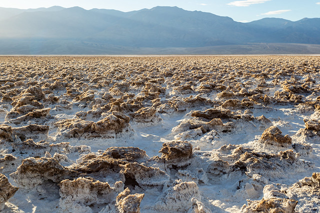
There are many odd and bizarre landscapes in Death Valley, but perhaps the strangest place in the entire park is the Devils Golf Course.
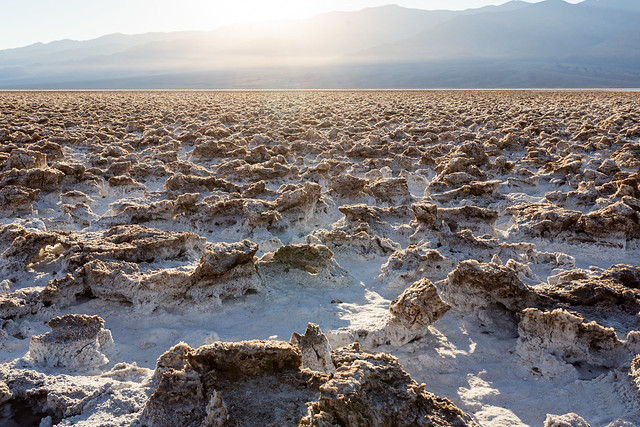
The white stuff here, which looks like snow, is actually salt. The Devils Golf Course is a large saltpan, located at the bottom of Death Valley near Badwater Basin. About 150,000 years ago, this area was covered by an ancient lake, which had a depth of 30 feet. That lake evaporated entirely, but left behind a lot of dissolved minerals. Over time, the salt formations have been weathered and eroded into these jagged formations, which almost look like coral.
The area gets its name from the National Park Service guidebook in 1934, which said that "only the devil could play golf" here.
I'm sure some crazy people have probably tried to bring out some clubs and tried to hit a few golf balls from here. No doubt the NPS would surely frown upon that. But there is an actual golf course located not too far away by the Furnace Creek Visitor Center.
The golf course is massive, and stretches on across the horizon. You are free to hike across if it wish, but a sign advises to be careful since a fall onto the sharp formations would be painful.
We survived without any falls, and took some last pictures before heading out to Badwater Basin...
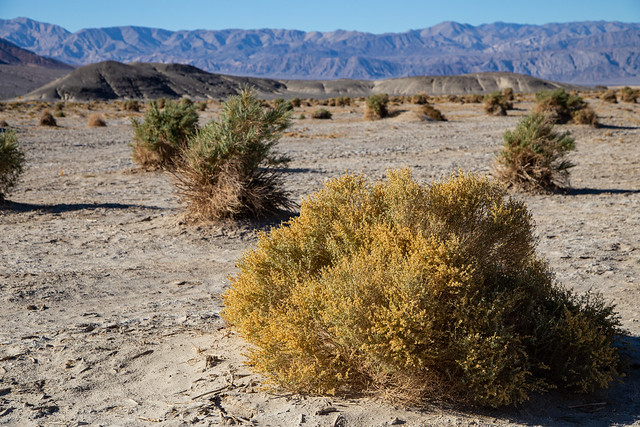
Not too far from the Mesquite Flat Sand Dunes is the Devil's Cornfield, which is actually a large field of Arrowweed. This is a large shrub that can grow up to nine feet tall, with stems that were once used to make arrows. This area was named the Devil's Cornfield because, supposedly, early settlers saw the clumps of Arrowweed from a distance and thought they were corn shocks.
Arrowweed was probably used by Death Valley's first residents - the Timbisha Shoshone people. According to the NPS, they "hunted and followed seasonal migrations for harvesting of pinyon pine nuts and mesquite beans with their families. To them, the land provided everything they needed and many areas were, and are, considered sacred places." Their tribal homeland contained the valley, where they lived in the winter, and also the surrounding mountains where they lived in the summer to escape the heat. In modern times, a small Timbisha village sits in the valley, near the Furnace Creek Visitor Center.
Death Valley got its name thanks to travelers trying to find a shortcut to California during the Gold Rush of 1849. They wandered into the desolate and alien landscape of the valley, only to get stuck finding a way through the Panamint Mountains. After several months, where they had to eat their oxen to survive, they were finally rescued. As they made their way out, one of the travelers is said to have looked back and said "Goodbye, Death Valley."
Of course it's much easier to get around in the Valley these days.
I can't imagine what it must be like to be here in the heat of the summer, let alone back in the olden days.
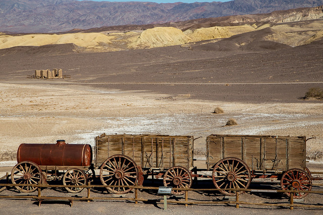
In the 1880s, silver and borax were discovered in Death Valley. Soon several mining camps were established, one of the most prominent being the Harmony Borax Works. The Harmony plant opened in 1884, with workers harvesting and processing borax. It employed up to 40 men and would produce up to three tons of borax daily (except during the summer, when the workers would temporarily move to another plant in a cooler location). To transport the processed borax out, they would use large mule teams and double wagons to haul it out of Death Valley and along an overland trek to Mojave. The "20-mule team" is still used as a symbol for the borax industry, which is used for cleaning supplies.
At the ruins of the Harmony Borax Works, you can see one of the old mule trains. In the distance you can see the remains of one of the buildings from the borax camp.
The Harmony Borax Works went out of business in 1888. In 1933, President Herbert Hoover put the lands under federal protection when it was named the Death Valley National Monument. In 1993, it was redesignated as a National Park.
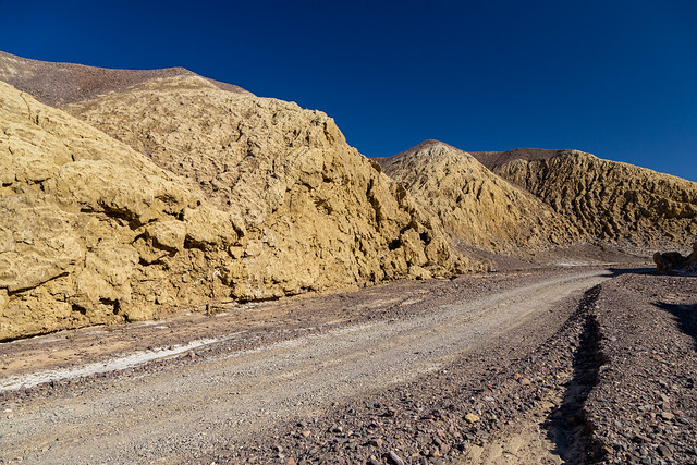
From the Borax Works, there is a small dirt road that runs through a small canyon named Mustard Canyon after the yellow walls of rock. I tried looking on the map to see if there were any other areas named after condiments (like a Ketchup Chasm, Mayonnaise Mountain or Relish Ridge) but had no luck. They must be in areas where the roads are still closed.
We were able to book a room at the Ranch at Death Valley, one of the few hotels that operates within the park boundaries. I've never stayed inside one of the National Parks before, and it was nice to not have to spend two hours each day driving in from the nearby towns of Pahrump or Beatty. The only downside was the food options. They know you are a captive audience, so the dinner options were way overpriced and not all that good.
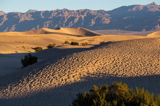
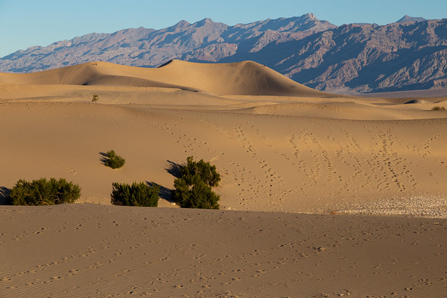
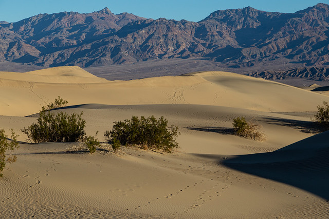
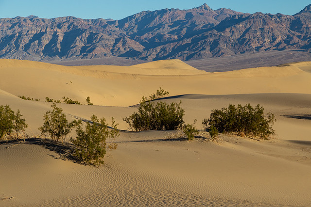
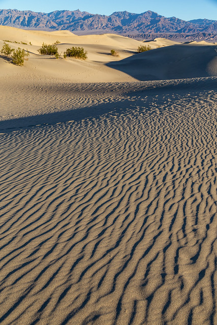
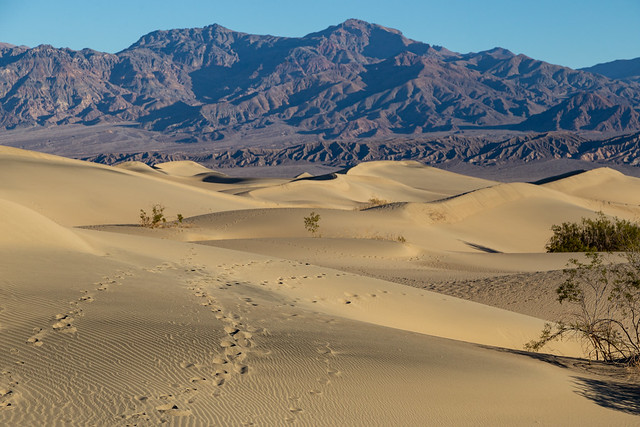
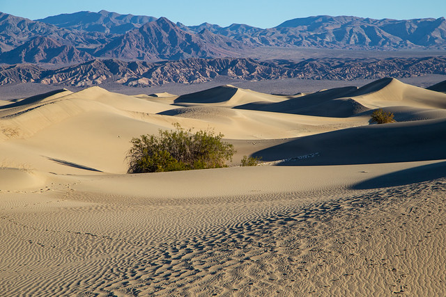
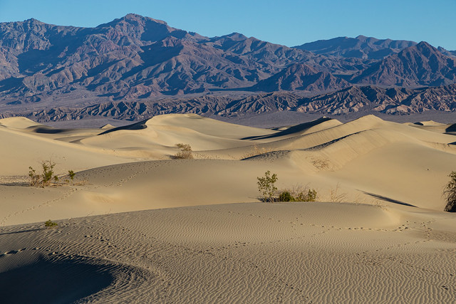
So it was nice to not have to wake up too early to drive out to the Mesquite Flat Sand Dunes at sunrise. The sand dunes seemed to be one of the most popular areas of the park, at least judging by the thousands of footprints in the sand. It looked cratered, like the surface of the Moon.
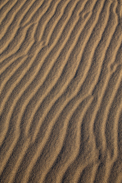
The National Park Service says that it takes three ingredients to form the dunes: sand (obviously), wind, and a natural barrier to keep the sand in place.
The sand at Mesquite Flat is made up of eroded bits of quartz and feldspar, and came from the Cottonwood Mountains to the north of the dunes. The wind picks up the sand and carries it to the valley, where it is blocked from escaping by the mountains to the south of the dunes.
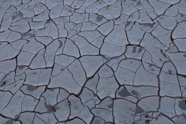
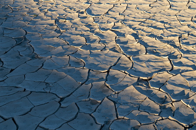
In between the dunes you can see cracked mud on the ground. This is actually the clay remnants of an ancient lakebed. You would be able to see more of it, but the sand dunes have covered most of it up.
These sand dunes have been used in lots of movies. And of course, they filmed some here for Star Wars. I can only imagine the film crew having to carry R2-D2 up over the dunes. At 0:59 in this video, you can easily recognize the red-colored mountains of Death Valley in the background of the shot.
The tallest sand dune at Mesquite Flat is called Star Dune and rises to a height of about 140 feet.
We didn't walk to it, instead we went a different direction where there would be fewer footprints. Managed to find a few places without any prints (or with a small enough amount that they could easily be photoshopped out).
I was a little annoyed at all the footprints, and at all those careless people who had messed up my shots. Then I realized that all my footprints that morning were ruining some future photographer's pictures. Sorry!
There are a few other places within Death Valley where the conditions are just right to form sand dunes. Mesquite Flat is the largest by area, but the other places have dunes that are taller. I wasn't sure if the roads to those areas were open while we were there.
The Mesquite Flat dunes are named after the many mesquite trees that grow here. The trees have adapted to the sand, they twist as they grow to avoid being buried by the sand. The mesquite bean pods were a traditional food for the Timbisha Shoshone, the first people to live in Death Valley.
We made it back to the car and was about to drive off when we saw a small dirt road that ran up the side of the mountain. Curious to see where it went, we headed that way. It went to a small parking area, which provided a good elevated view of the sand dunes. Seeing it from here really showed the scale of the dunes, and how they have spread across the valley.
And it was nice to be so far away that you couldn't see all the footprints on the dunes!