Wednesday, March 16, 2022

Grafton

The next day we took it easy and decided to do a little bit of sight-seeing before heading back into Zion. Located just a few miles from the National Park is the old ghost town of Grafton, which was reached via a muddy dirt road. Grafton was established by Mormon settlers in 1859 along the Virgin River. The site was chosen because there weren't many places in Utah that were flat and had access to water. But floodwaters destroyed the town, and it was rebuilt about a mile away on a different part of the river in 1862.

Grafton thrived at its new location, and the population grew to 168 people by 1864. The townspeople dug irrigation canals and planted orchards (which still exist today), and for a time Grafton was even a county seat. But flooding was always a problem, along with the lack of new land to cultivate. Eventually, families were leaving to find better land in nearby communities. By 1890, there were only four families left in Grafton. By 1921, the local branch of the Church of Jesus Christ of Latter-day Saints closed. And in 1948, the last residents left the town and it was abandoned.

Several buildings still remain in Grafton, and they have been well-preserved thanks to the efforts of the Grafton Heritage Partnership Project. One of the most prominent buildings in the town is the old Russell Home, which was built in 1862. The adobe home was built by Alonzo Haventon Russell, who lived there with his three wives and their 16 children. Alonzo lived here until his death in 1910 at the age of 89. His son Frank Stephen Russell bought the house in 1917 for the sum of $200 and one cow. He and his wife lived in the house until 1944, and were some of the last residents of Grafton.

IMG_6465

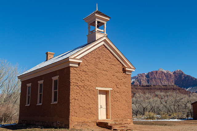
Next to the Russell House is the old schoolhouse/church, which was built around 1886. The building rests on a foundation of lava rocks and was built with hand-made adobe bricks. Lumber for the building was harvested 75 miles away and carried all the way back to Grafton. It was used as a church, school and community meeting place. The last classes were held here in 1919.
IMG_6502

Grafton has been used a filming location for several Westerns. The old Russell home and the church can be seen in Butch Cassidy and the Sundance Kid:


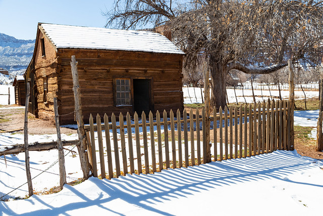
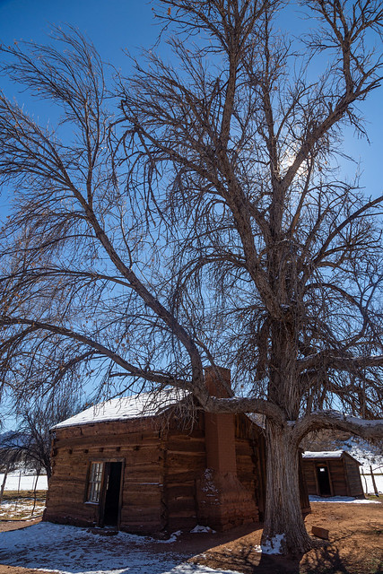
Nearby was this old home, built in 1879. In this small and modest home, six children were raised. I can't even imagine what that must have been like in those olden days.
IMG_6478

IMG_6475

This old pioneer cabin isn't original to Grafton, it was actually moved here in 1947 to be used for the movie Ramrod.

IMG_6507

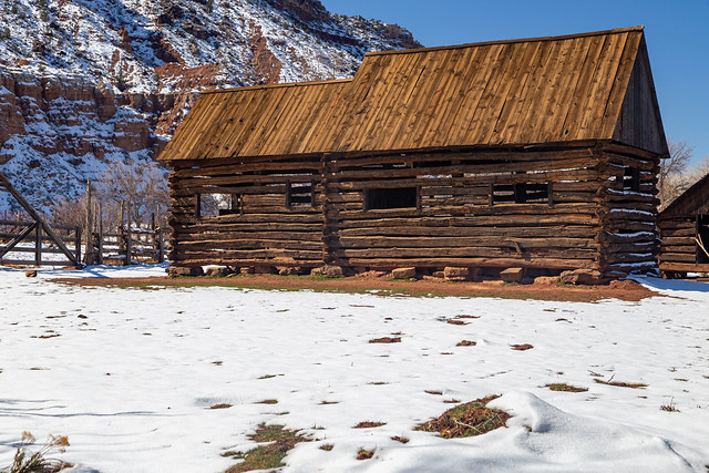
This old home was built in 1877, and is still surrounded by the original split-rail fence.
IMG_6511

IMG_6513

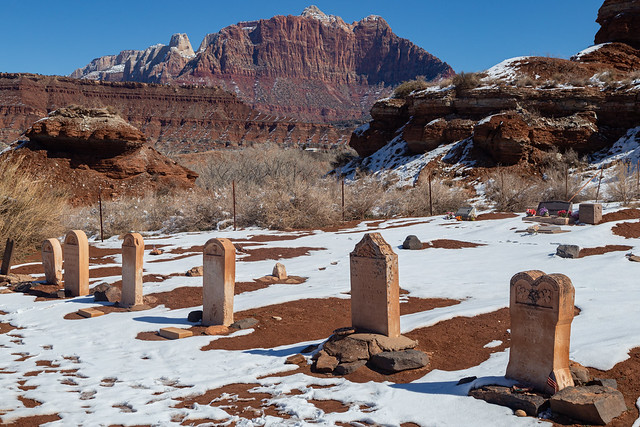
And one last shot from Grafton, of the old cemetery. The first grave here dates back to 1862:
IMG_6519

Sunday, March 13, 2022

Zion National Park - Part 2

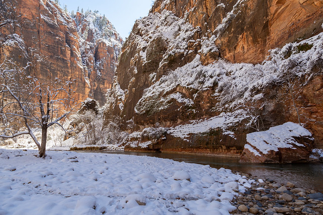
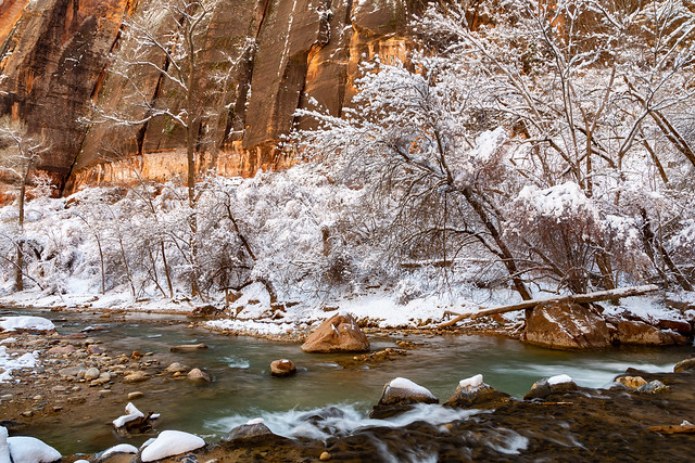
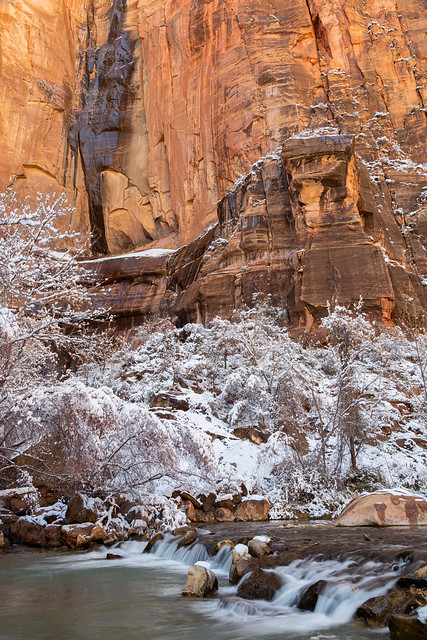
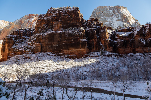
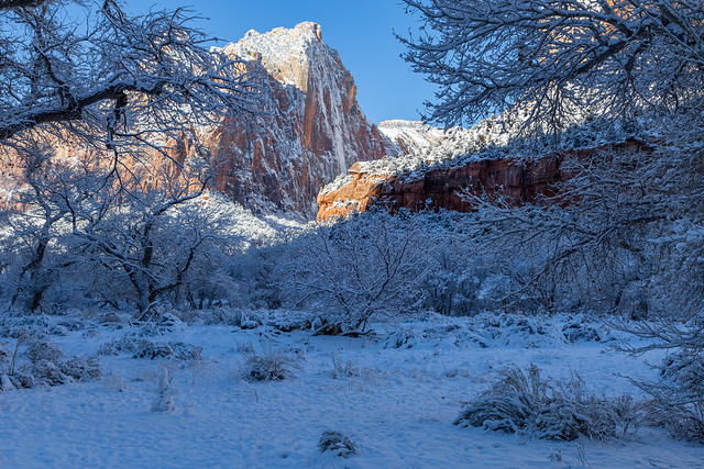
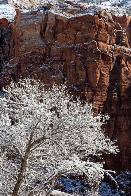
We wanted to do some hiking while we were in Zion National Park, but we were slow because I wanted to constantly stop to get pictures of the fresh snow. The fluffy snow against the red rock walls of Zion were breathtakingly beautiful.

IMG_5999-3

IMG_6006

We decided to try the Zion Riverside Walk, which is a short 1.9 mile hike along the Virgin River. The trailhead starts at the last stop on the park's scenic drive, the Temple of Sinawava. We drove up but every parking space was taken, and there was a line of cars waiting to grab the first available spot. We hurried down the road and parked along a pull-off, and walked back up the road to the trailhead. If it was this crowded on a cold winter weekday in February, I can't imagine what it's like in the summer.

IMG_6017-2

The Temple of the amphitheater is a beautiful spot. The canyon narrows here, creating a natural amphitheater under 3,000 foot high rock walls.

IMG_6038

IMG_6040

It was a pretty hike, but it was difficult to photograph. The sun was shining brightly down, which isn't ideal for pictures. There were a few places where the high canyon walls provided shade on the Virgin River, and I hurried down to try to get a few pictures.

IMG_6056

IMG_6067

The Riverside Walk is usually listed as an easy family-friendly trail, but it was kinda challenging that day because the trail consisted entirely of compacted snow and ice. I admit I slipped and fell once here. But the trail ends at the beginning of the Narrows, but you can continue hiking up the river into the canyon. It wasn't a hike we really considered, since we were there in the winter. So I was a little surprised to see people in waders trudging up the frigid waters. I bet that water was cooooooold. But it looks like an amazing hike, and one that I would love to do. Maybe in the summer when there isn't that much of a risk of frostbite.

IMG_6103

It felt warm while hiking in the sun. But once I stepped into the deep shade under the canyon walls along the river, it was a quick reminder of how cold it was up there.

IMG_6124

IMG_6139

We made it back to the Temple of the Sinawava, which was named after the coyote god of the Paiute.

IMG_6170-3

IMG_6182-2

IMG_6185-2

IMG_6191-2

Along the river at the Temple of Sinawava are two massive sandstone pillars called the Pulpit. The largest pillar stands 160 feet above the river.

IMG_6208

IMG_6217

We got back to the car and headed south, eventually pulling over at the aptly named Big Bend. Here the Virgin River dramatically curves under the towering canyon walls.

IMG_6259-2

IMG_6273

IMG_6282

There was one other trail I wanted to hike that day - the Canyon Overlook Trail. To reach the trailhead meant driving up the extremely steep and curvy road that leads to the Zion-Mount Carmel Tunnel. The tunnel was built between 1927 and 1930, and cuts 5,613 feet through a mountain. At the end of the tunnel there is an extremely small parking area for the Canyon Overlook Trail, which was of course completely full when I drove by. I managed to find a parking spot nearby, and then started the hike. After about a mile the hike ends at the overlook, which had an impressive view:

IMG_6334-2

The view provided a great view of the steep switchbacks rising uphill.

IMG_6373

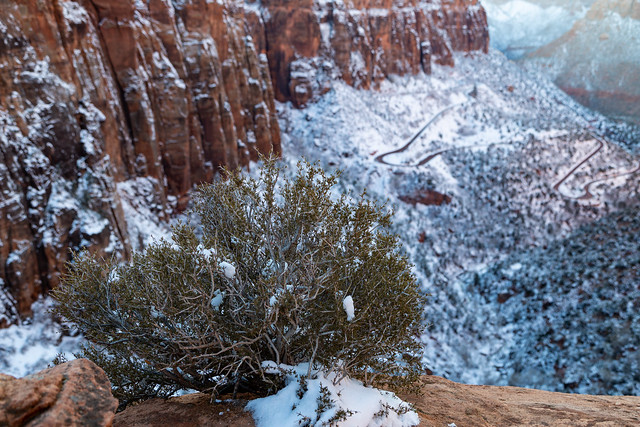
Perched on the edge of the 1,000 foot high cliff was this little plant, which had a great location and view below it.

IMG_6357

IMG_6375

And one last shot from the overlook, after sunset had cast the canyon into shadow.

IMG_6430-2

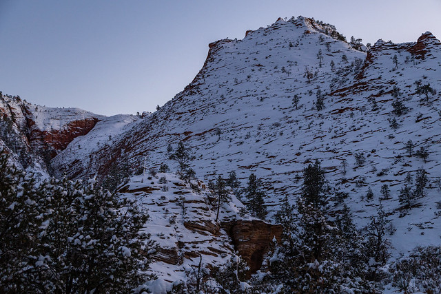
It was getting dark as I started hiking back to the car, but there was just enough light to get this picture of a snow-covered mountain along the way.

IMG_6449

It was nearly dark when I went through the tunnel, but I made one last stop at a pull-off along one of the switchbacks to get this shot. A few cars were out on the road, dwarfed by the massive mountains.

IMG_6455

Thursday, March 10, 2022

Zion National Park - Part 1

We left the Valley of Fire and drove northeast, into Arizona and then Utah. It was dark when we finally arrived at Springdale, a quaint little town that sits right on the edge of Zion National Park. It was cold, and it had been snowing there all day. We checked into our hotel and then woke up the next morning with this view from our room:

IMG_5743

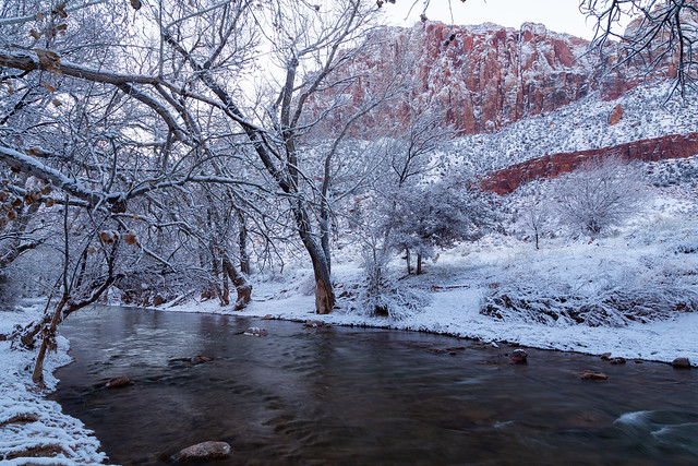
It was a crisp 14 degrees when I headed out into the snow to get a few pictures. The Virgin River flows out from Zion and through Springdale, and then right alongside our hotel. In the background is The Watchman, a towering 6,545-foot tall sandstone mountain that sits within the boundaries of Zion National Park.

IMG_5708

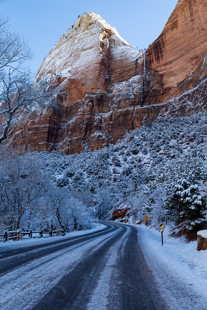
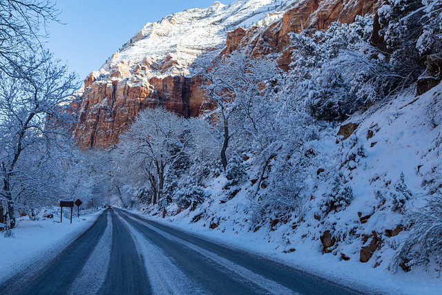
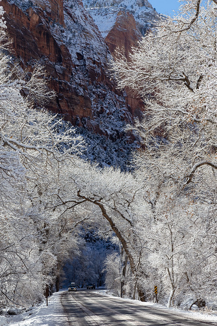
We bundled up and then excitedly headed into Zion National Park. The snowfall was thicker in the park, but luckily the roads were still drivable (a relief since I'm from the south and am not great at driving in winter weather).

IMG_5825

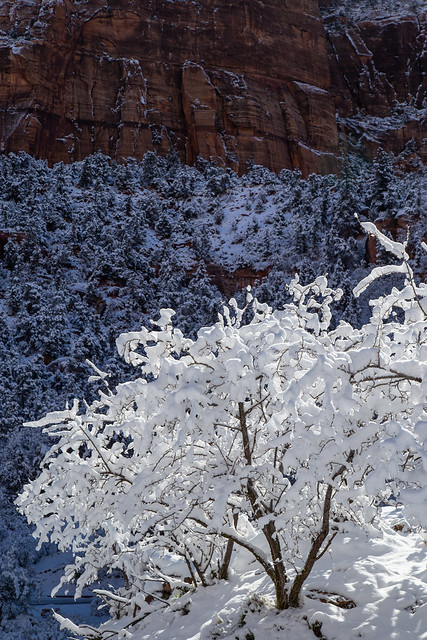
The snow looked like someone had dumped a bunch of powdered sugar over everything.

IMG_5836

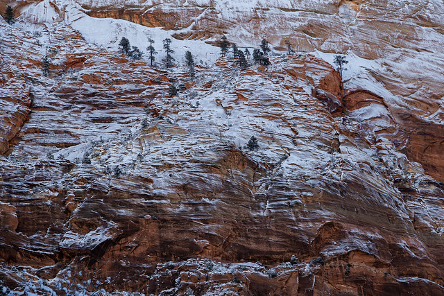
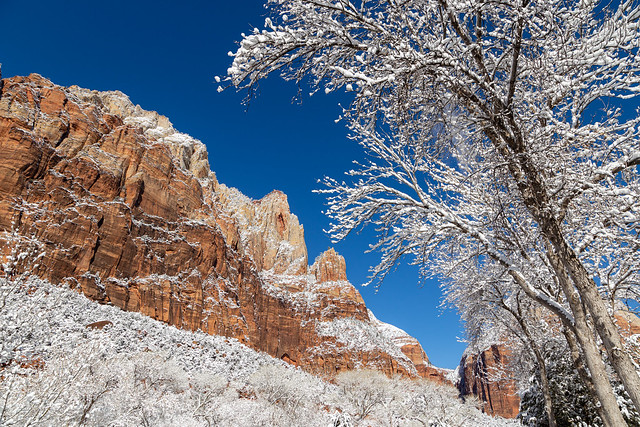
The fluffy white snow also contrasted nicely against the deep red rocks of the mountains.

IMG_5862-3

It was hard to not stop every five feet to take pictures. It was incredibly beautiful.

IMG_5865

IMG_5869

Zion National Park was established in 1919 and protects about 229 square miles of natural beauty. The park was originally named Mukuntuweap, a Southern Paiute word that can be roughly translated to mean "straight canyon." It was later changed to Zion, a name given to the canyon by Mormon settlers in the 1860s. The change was made because it was thought that Mukuntuweap would be too hard to pronounce, which would deter people from visiting the park. The name Zion is from the Bible, and means a place of peace or refuge or a sanctuary (it's not named after the city in The Matrix, like I assumed).

IMG_5872

The National Park is large (at 146,597 acres), but Zion Canyon is surprisingly small. It's only about 15 miles long, which means it takes just about 30 minutes to drive from one end to the other. One of the reasons why we decided to visit Zion in the winter is because it was the off-season, and you can drive your car into the park. Most of the year, the park is closed to private vehicles and you have to use a shuttle to get around. It's easy to see why. It was still busy when we were there, even on a cold weekday. Parking spaces are limited in the park, and they quickly filled up.

IMG_5874

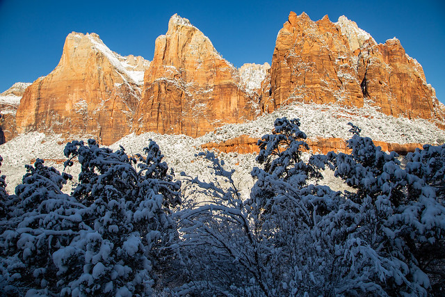
We stopped at the Court of the Patriarchs, and walked around for a few minutes to take a few pictures of the fluffy snow.

IMG_5877

IMG_5880

IMG_5889

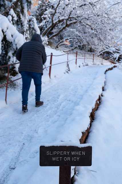
There is a short trail here that runs uphill to an overlook. I'm thankful this sign was here as a warning...

IMG_5891

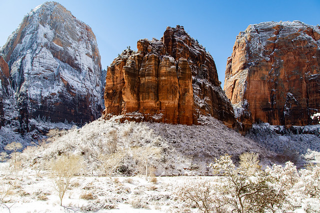
And the view from the overlook, of the three Patriarchs (named for the Biblical figures Abraham, Isaac, and Jacob).

IMG_5895-2

Mormon settlers moved into the Zion Canyon in the 1860s, but the area had been explored and lived in by various Native Amerian people over the course of several centuries.

IMG_5899

IMG_5910

IMG_5913

We drove deeper into the canyon, stopping often to get pictures...

IMG_5920

IMG_5922

IMG_5930

IMG_5937

IMG_5940

This tall tree actually sits in front of the park's lodge.

IMG_5950

We stopped at another overlook which provided this view of the Great White Throne, a monolithic mesa that is 6,747 feet tall. The Great White Throne was named by a Methodist minister, who felt that the mountain was magnificent enough to represent the throne of God.

IMG_5960

Next to the Great White Throne is The Organ, a 5,080-foot tall sandstone mountain.

IMG_5971

And a closer view of The Organ:

IMG_5976

The same minister who named the Great White Throne also named Angel's Landing and the Court of the Patriarchs. Angel's Landing is a sandstone cliff that is so narrow that he said that only angels could land on it. There is a trail to the top of it now, but it is an extremely difficult and harrowing climb. We wisely decided to avoid it, since it would be coated in ice and snow. But we did decide to do another trail in the park, which will be covered in the next installment - Stay tuned!