Sunday, November 22, 2015

Bearizona and Yaki Point Sunset

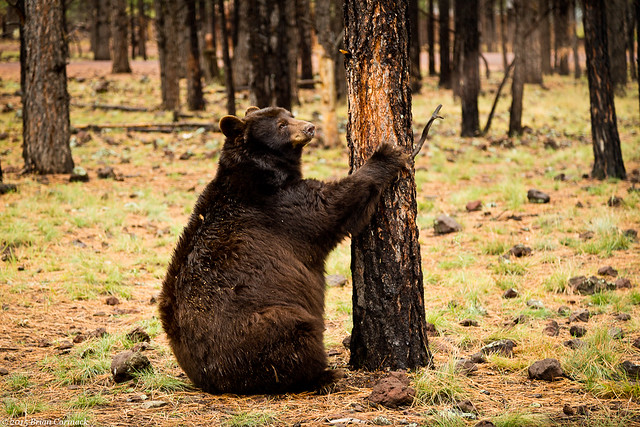
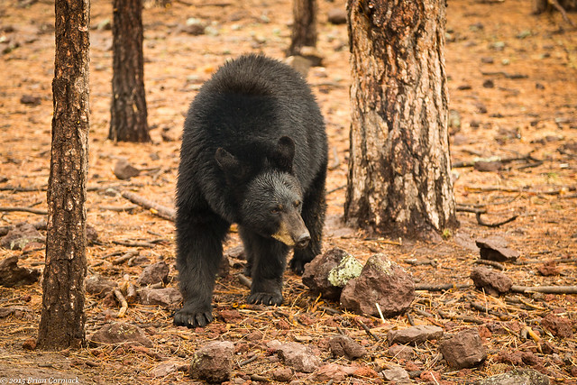
The next morning we took a little side trip south to the town of Williams and visited Bearizona.  Besides having a very good pun-based name, Bearizona is a drive-through wilderness park that is home to wolves, sheep, mountain goats, burros, bison and of course, bears.  It was raining a little when we drove down to Williams, but the animals were out and about.  The drive passes by all the other animals (which kinda reminded me of the first Jurassic Park), and then finally enters the bear section. 

IMG_7734-3

I was actually a bit surprised at how close you can get to the bears, they walked by our car and crossed the road in front of us. We did, of course, have the windows rolled up and the doors locked! They didn't seem to mind or notice the cars slowly driving by them.

IMG_7826-2

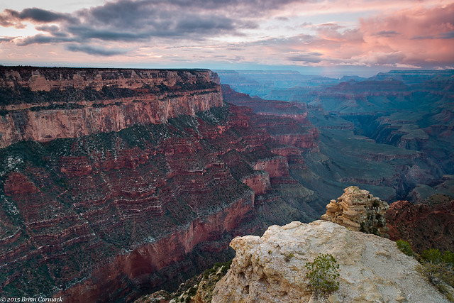
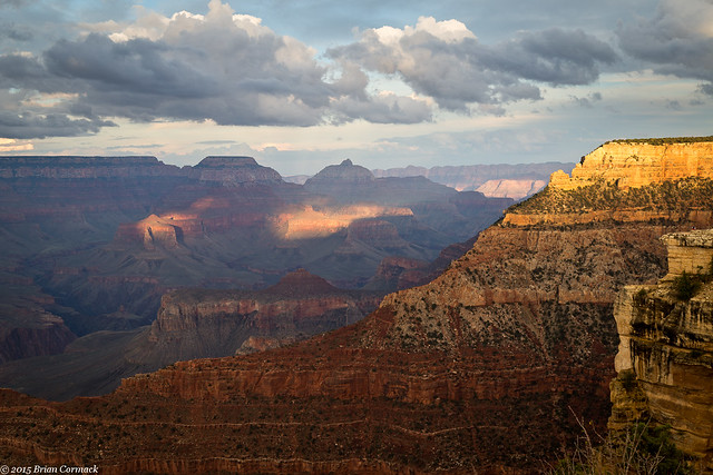
After getting lunch in Williams and visiting a local brewery (The Grand Canyon Brewery Co. - highly recommended!), we headed back up to the Grand Canyon. There would be time to catch the sunset, so I decided to visit Yaki Point. The overlook can only be reached by shuttle bus, so I boarded one and rode to the overlook. The view is amazing, of course, like all of the Grand Canyon views.

IMG_7913-2

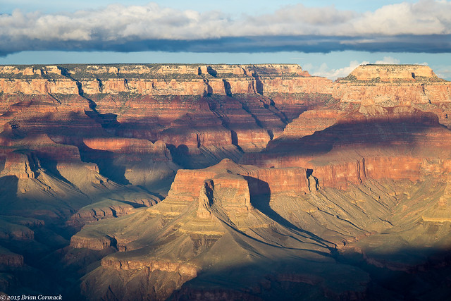
Clouds obscured most of the sunset, but there was some interesting light shining through.

IMG_7980-4x

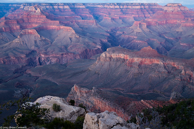
After the sunset, I set the camera up to get a few shots while waiting for the shuttle bus to come back around.

IMG_8035-2

IMG_8037-2

I took pictures until it was dark (this shot below was a 30 second exposure), with the camera trying to capture any of last remaining light hitting the canyon. There wasn't anyone left at the overlook, they had all caught the last shuttle bus. I hoped that the shuttle bus wouldn't forget to make the stop here. And that the only bears I would see that day were at Bearizona, and not slowly making their way through the darkness towards the guy taking pictures by himself in the dark.

IMG_8039-2

A bus finally drove up, and when I boarded the driver jokingly said "we took bets on whether we should stop for you or not." Which for someone standing in the dark waiting for a bus isn't the funniest joke. We headed back to the visitor center in the dark, but we would be visiting the Grand Canyon again the next day (more photos coming soon!).

Thursday, November 19, 2015

Grand Canyon - Desert View Drive

The next day we headed back into the park.  The Grand Canyon National Park is huge, containing over a million acres.  There are miles of hiking trails, whitewater rafting on the Colorado River and burro rides down steep trails.  Since one of us was almost 6 months pregnant, we couldn't really do too much rafting.  Luckily there are plenty of overlooks, and it is easy to pass an entire day just driving around and enjoying the view.

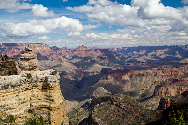
We opted to do the Desert View Drive, which runs along the South Rim for about 25 miles. The views, of course, are amazing. There are several overlooks, some with views that peer down deep into the Canyon.
IMG_6754-3

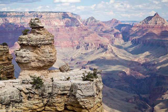
This view features a large rock formation that is appropriately named "Duck on the Rock."
IMG_6774-3

It's hard to convey in photos the gigantic scale of the Grand Canyon. The Canyon itself is 277 miles long, and at some points it is up to 18 miles wide. At it's deepest, the canyon is a mile deep. Nearly five million people visit the Grand Canyon National Park every year, but it was easy to find secluded places with few other people around.
IMG_6863-3

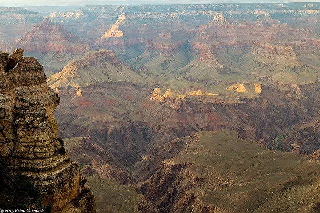
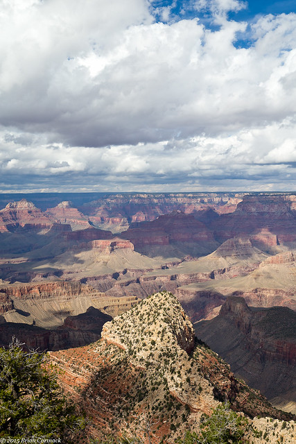
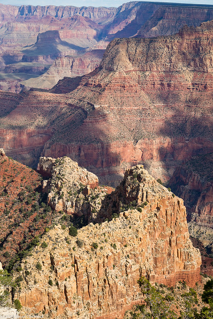
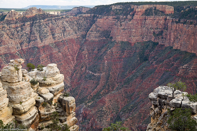
These shots were taken from the Grandview Point Overlook. Like the name suggests, this overlook provides a grand view of the Grand Canyon. The Colorado River is four miles away, and the Canyon is filled with several different ravines, mesas and buttes.
IMG_6884-3

IMG_6919-3

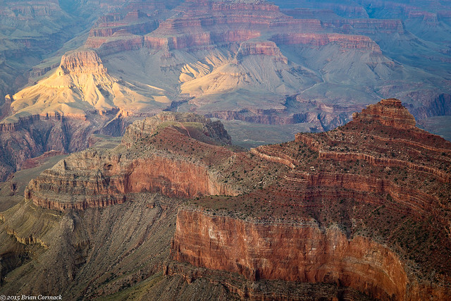
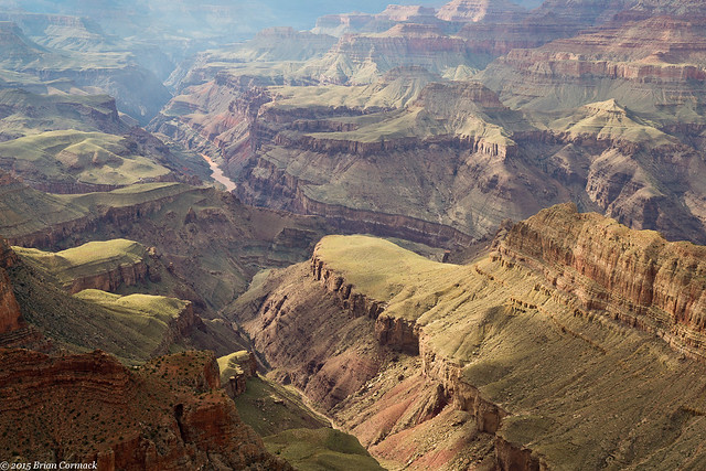
Further down we stopped at Lipan Point, which offered this view. I think this is Seventyfive Mile Creek, flowing past Escalante Point into the Colorado River.
IMG_7166-4

It had been mostly sunny all day, but some thick clouds had built up over the North Rim when we arrived at the Desert View overlook.
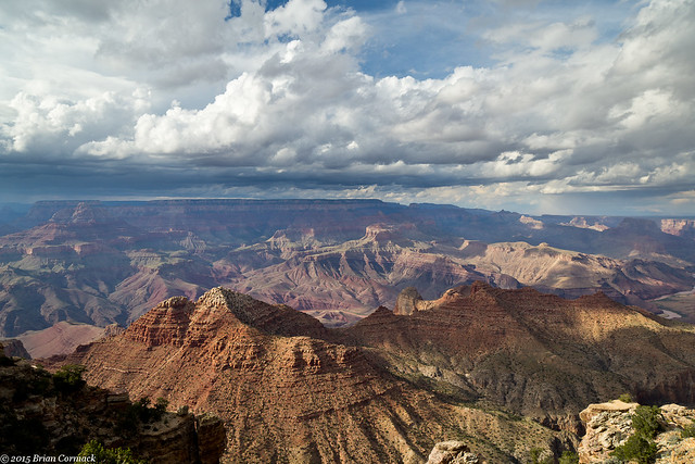
IMG_7223-3

Desert View is the last overlook in the park, the National Park boundary is just a few miles away. From here you can easily see the flat lands of the Painted Desert in the distance. We went to take some pictures, just as a small rainbow appeared over the edge of the Canyon.
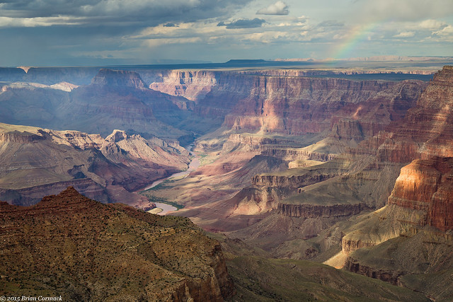
IMG_7196-4

The overlook is also home to the Desert View Watchtower, which was built in 1932 and provides a view four stories above the rim of the Canyon. The tower was designed to resemble an old watchtower built by the Ancient Pueblo Peoples. The inside features petroglyph-style paintings on the walls of the circular stairs that lead to the top. Here's a view of the outside of the tower, with a big storm dumping rain on the North Rim.
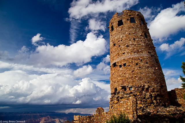
Desert View

And one last shot from Desert View, with the Colorado River running through the Canyon. It had been quite rainy in Arizona before our trip, and the river was looking a little muddy.
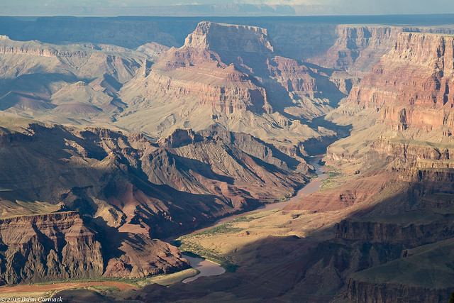
IMG_7325-3

Our plan was to watch the sunset that night from the edge of the Canyon, returning to the overlook that we both agreed had the best view. Of all the stops, we liked Moran Point the best. The point is named after Thomas Moran, an artist who first visited the Grand Canyon in 1873. His paintings helped to popularize the Canyon, helping with it being preserved as a National Monument in 1908.
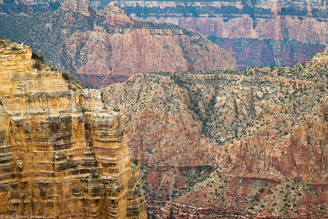
IMG_7413-3

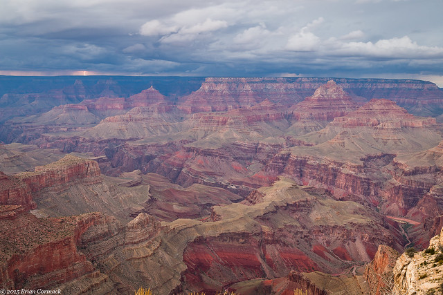
The overlook at Moran Point has a wide panoramic view, but we didn't get much of a sunset that night. A storm moved through, bring with it some waves of heavy rain.
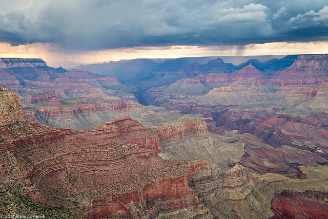
IMG_7487-4

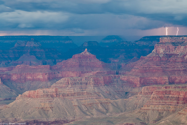
And with the rain, the storm also brought with it lightning. Bolts began to drop down, striking the North Rim (which is about eight miles away).
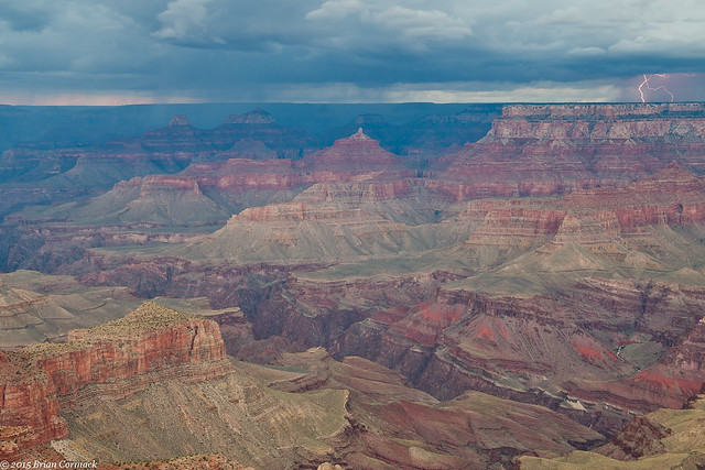
IMG_7559-4

I desperately tried to get the camera set up and focused correctly, hoping that I didn't miss all of the lightning while I was trying to get the controls right. But the lightning actually worked with me for once, and dropped a few bolts at the same time I was taking pictures.
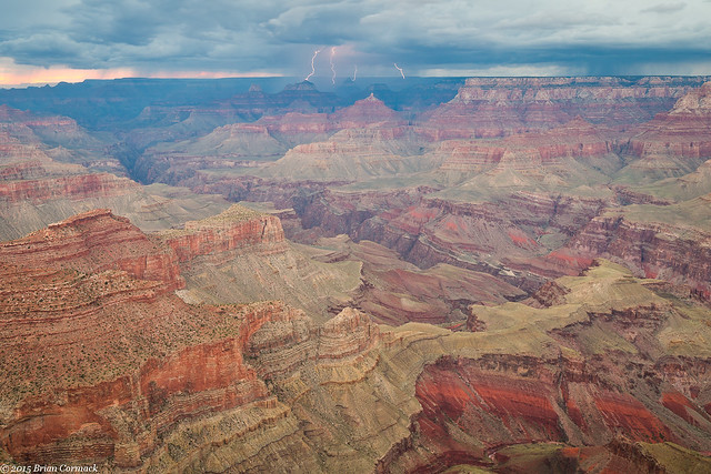
IMG_7574-9

IMG_7591-3

We stayed out there until it got too dark to take pictures, and then headed to a restaurant in the park to get dinner (this is again when I'm thankful to have a very loving and patient wife who was ok with sitting at an overlook for awhile watching a storm while also being nearly six months pregnant.
IMG_7606-5

It is rare that you can stand around and take pictures of lightning and not get rained on. While we were ok at Moran Point, the nasty weather would catch up with us. We finished dinner and started to drive out of the park, just as a huge storm hit. Lightning was close and nasty, and it started to hail. The hail was big, and it was pounding my poor car. The road soon became covered with hail, and it was slick enough that my car's traction control automatically switched on. It was bad enough in the car, but I really felt sorry for anyone who may have been camping nearby. But the storm slacked off, and we made it back to the hotel with numerous dents and dings in the car as a souvenir of the day.

Sunday, November 15, 2015

Route 66 and the Grand Canyon

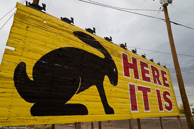
From the Petrified Forest, we headed west and drove deeper into Arizona towards the Grand Canyon. We made a few more stops along Route 66, the first at the Jack Rabbit Trading Post in Joseph City. The trading post opened in 1949, and back in the glory days of Route 66 there were signs everywhere along the road promoting the store. The signs would have a silhouette of a Jack Rabbit and then however many miles away you were. A big sign, out in front of the store, announced "Here It Is!" just in case anyone missed it. The store is still open, and the big sign is still standing.

IMG_6552-2

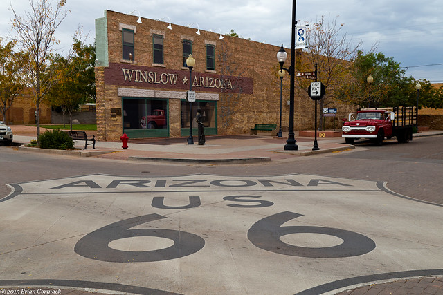
The next stop was the nice town of Winslow, Arizona. If you're an Eagles fan you might know this town. Winslow is mentioned in the song "Take It Easy," and they have cashed in on the connection. In the center of town is the Standin' on the Corner Park, with a huge mural recreating the lyric in the song (which is "Well, I'm a standing on a corner in Winslow, Arizona and such a fine sight to see. It's a girl, my Lord, in a flatbed Ford slowin' down to take a look at me"). So on the side of the building is a painting of a girl, in a Ford, presumably slowing down to look at people. If you don't remember the song, don't worry. There is a constant stream of Eagles music being played at one of the shops across the street.

IMG_6564-2

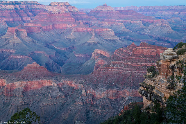
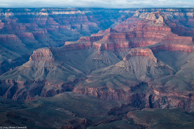
From there we headed through Flagstaff and finally up towards the Grand Canyon. We hurried to get into the park, and made it to the first overlook we could get to before sunset (which was the Mather Point overlook, by the Visitor Center).

IMG_6614-2

The view from the edge of the Grand Canyon is truly breathtaking. There is a vastness that is almost overwhelming. Light from the setting sun was streaming through, shining along parts of the Canyon like a spotlight. At the same time, a few storm clouds passed by overhead.

IMG_6630

IMG_6631-2

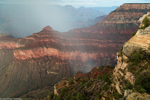
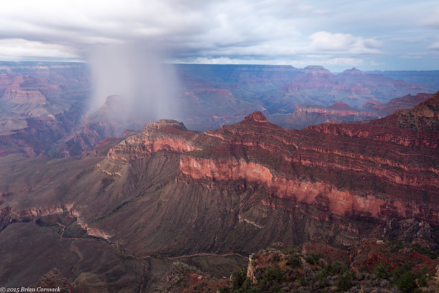
One little storm passed above the canyon, dropping a stream of rain that looked like a beam of light.

IMG_6681-3

The storm grew, and I stayed out trying to get pictures of it until it got too dark. After that, we headed out of the park to our hotel. But luckily we would be back again to visit the canyon the next day...

Grand Canyon

Wednesday, November 11, 2015

Petrified Forest National Park

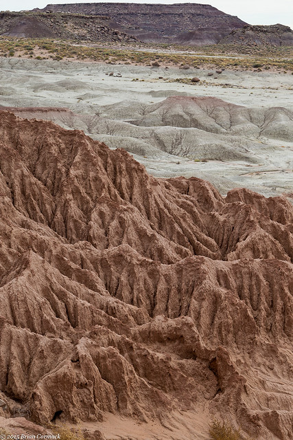
The next morning, we woke up in Holbrook and then made the short drive over to the Petrified Forest National Park. The Petrified Forest is a relatively small national park, but it contains some amazingly diverse landscapes. The road from Holbrook passes by flat ranch land, which was mostly rocks and what looked like scrub brush. But when you get into the park, the land changes into deep eroded rock. It looks almost alien, like you could film a movie here and it would pass for Mars.

IMG_5935-2

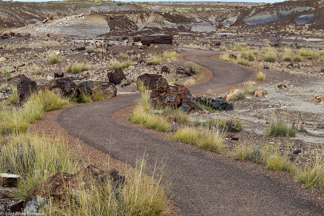
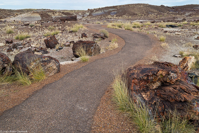
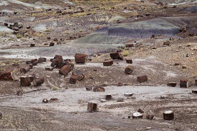
We drove deeper into the park and then hiked the short Crystal Forest trail. The paved trail winds past hundreds of petrified logs, scattered across the ground.

IMG_5980-2

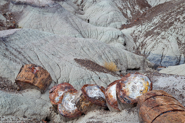
The petrified wood is actually fossilized trees that lived way back in the Late Triassic period of the Mesozoic era (about 225 million years ago, give or take). The downed trees accumulated in stream beds, and were then covered with sediment. Some of that sediment was volcanic ash, which had silica that was dissolved by ground water. That silica was carried into the logs, which slowly replaced the organic matter in the trees with quartz crystal.

IMG_6005-2

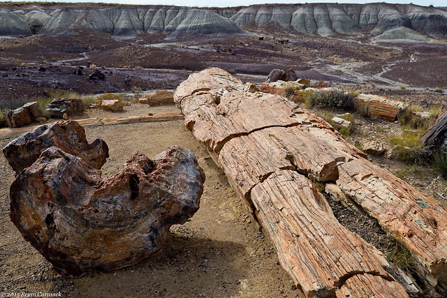
A lot of the petrified trees retained their basic shape, so they still look like trees even after being buried for hundreds of million of years and being turned to rock.

IMG_5947-2

There have been nine species of trees identified among the fossils of the Petrified Forest, and all are from trees that are extinct.

IMG_6046-2

There used to be much more petrified wood in the park, but people have been stealing wood from here ever since it was first discovered in the 1800s. The land was first preserved as a National Monument in 1906 in an effort to prevent the theft of the petrified wood. The Petrified Forest became a National Park in 1962.

IMG_6075-2

The logs often appear like they have been cut with a saw, but the cracks were formed naturally. The quartz is hard, but brittle. When the ground around the logs was eroding away, pressure and stresses lead to cracks which widened over time. Quartz naturally breaks at an angle, leading many people to constantly ask the park rangers who cut the logs.

IMG_6086-2

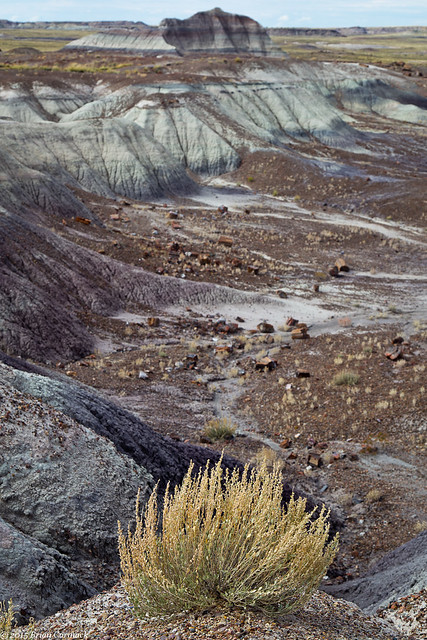
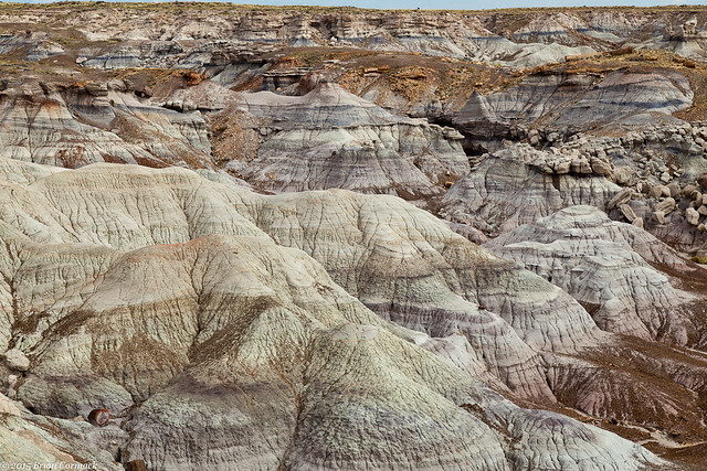
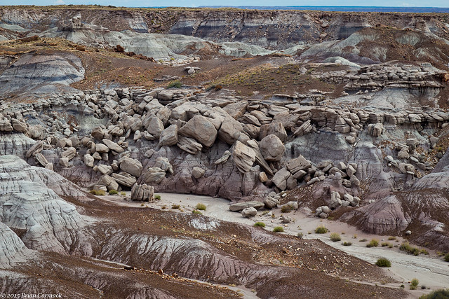
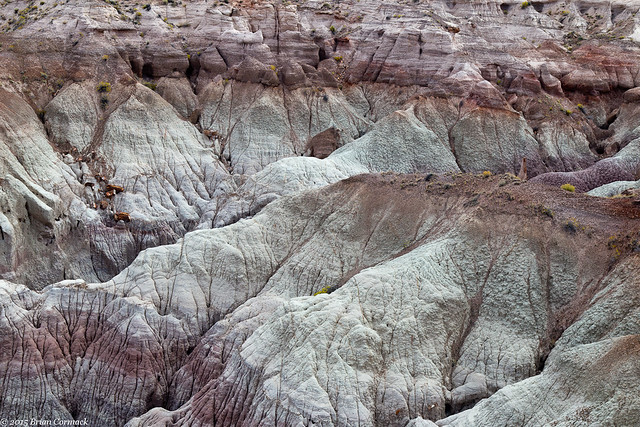
After finishing the trail, we got back in the car and drove to the Blue Mesa area. Here the landscape again changes, turning into rocky badlands.

IMG_6115-2

IMG_6128-2

IMG_6163-2

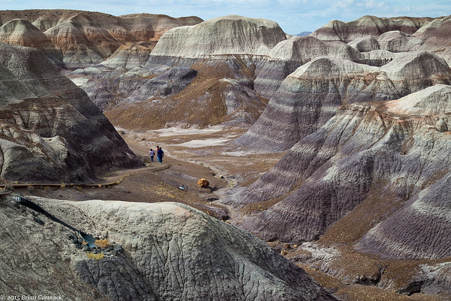
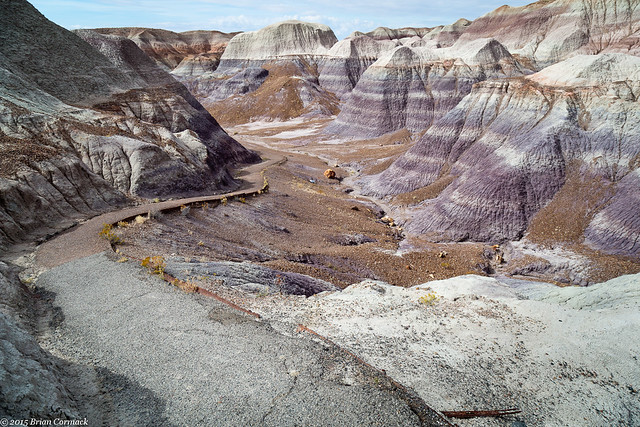
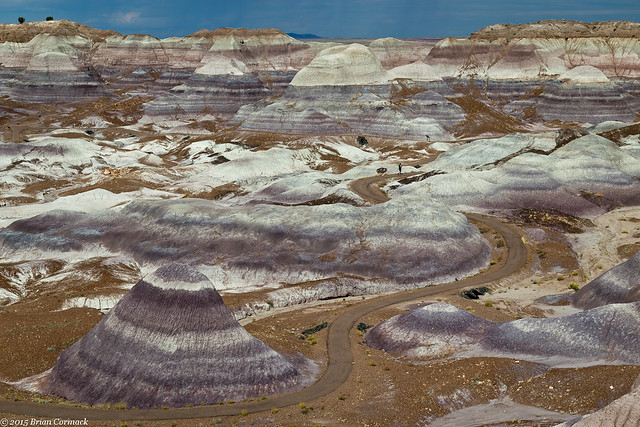
A short trail drops down into the Blue Mesa, visiting the hills made of the bluish-colored bentonite clay. This entire landscape still looked completely alien, as if some Jedi could run through here in the next Star Wars movie.
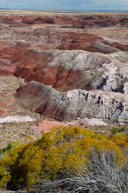
Blue Mesa

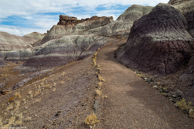
The trail through the Blue Mesa is short (only about a mile), but I didn't have enough time to do the whole hike. So I decided to just do part of it, which turned out to be the steepest part of the trail.

IMG_6231-2

The trail runs steeply up the hill in a few switchbacks. I'm not the most in-shape person, but the walk up the hill and the elevation left me out of breath.

IMG_6234-2

If you don't want to do the hike, the National Park Service was kind enough to place a few overlooks along the road for you. This popular overlook has a wide view of the Blue Mesa, and the trail below.

Blue Mesa

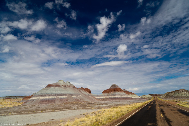
We got back on the main park road and headed north, passing by these rock formations that are called "The Teepees."

IMG_6338-2

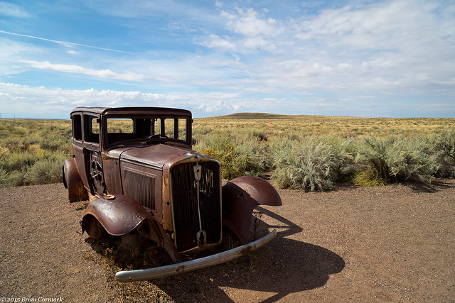
The road passes by I-40, and then comes to a marker commemorating where Route 66 used to pass through the park. The road is gone, but there is an old car parked here as a memorial.

IMG_6341-2

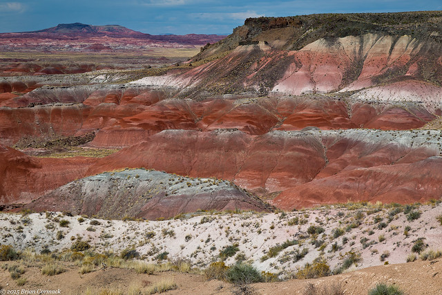
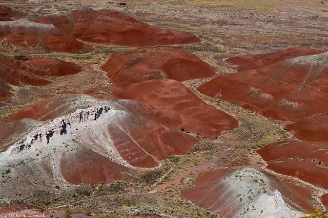
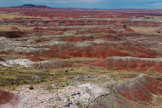
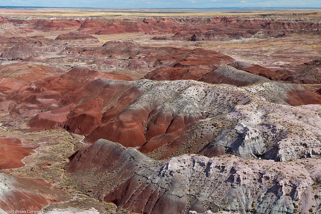
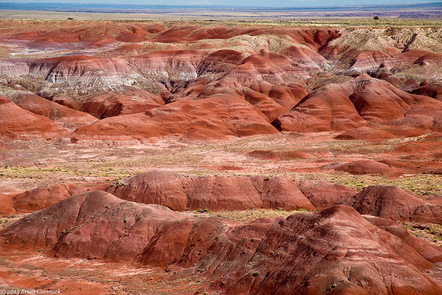
Heading further north, the landscape changed yet again. We drove into the Painted Desert region of the park. The Painted Desert lives up to its name, the rocks are a deep and colorful red.

IMG_6381-2

The exposed rock in the Painted Desert are estimated to be at least 200 million years ago, and the color is because of mineral deposits.

IMG_6443-2

IMG_6444-2

IMG_6474-2

IMG_6464-2

IMG_6489

We then got onto the freeway and headed towards our next big destination on the trip - The Grand Canyon.