Sunday, November 8, 2015

Route 66 - San Jon & Tucumcari

It's amazing how quickly the landscape changes when you drive across the country. It's even surprising how it seems like the landscape shifts just as you move into different states. The rolling hills of Oklahoma turned into the flat prairie of the Texas panhandle. Then the scenery shifted again as we crossed into New Mexico. It really did feel like we had finally entered the Southwest.

We stopped at the small town of San Jon, which was founded in 1902 and has a few neat buildings along Route 66.
IMG_5275-2

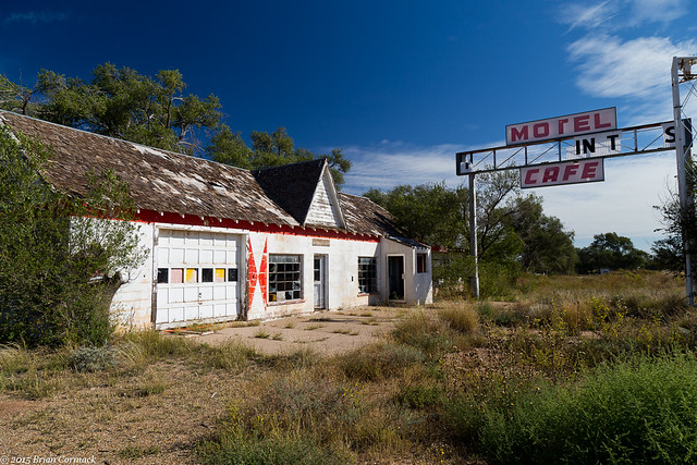
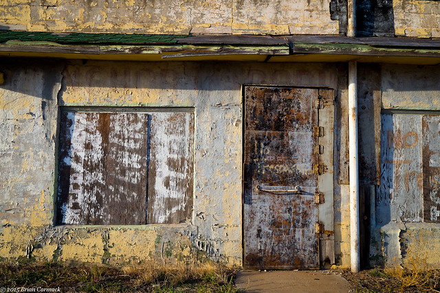
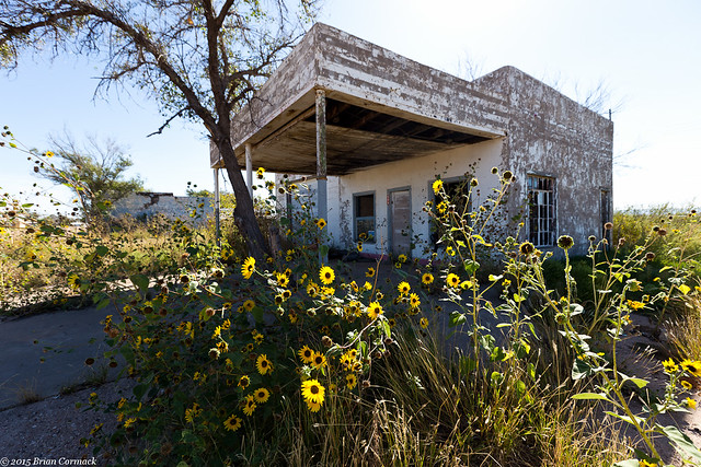
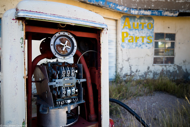
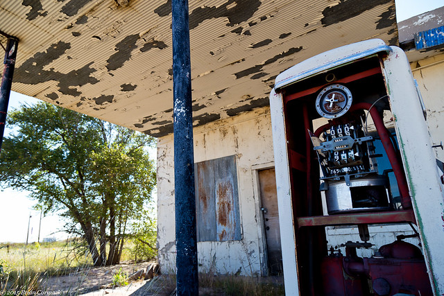
Like so many towns along Route 66, the local economy took a hit when the freeway bypassed the town in the 1980s. A string of old gas stations and hotels sits along Route 66 here, all of them long closed.
IMG_5287-2

IMG_5294-2

IMG_5315-2

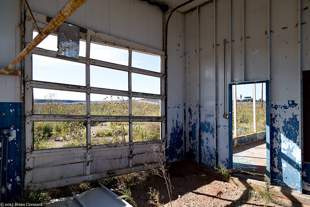
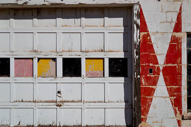
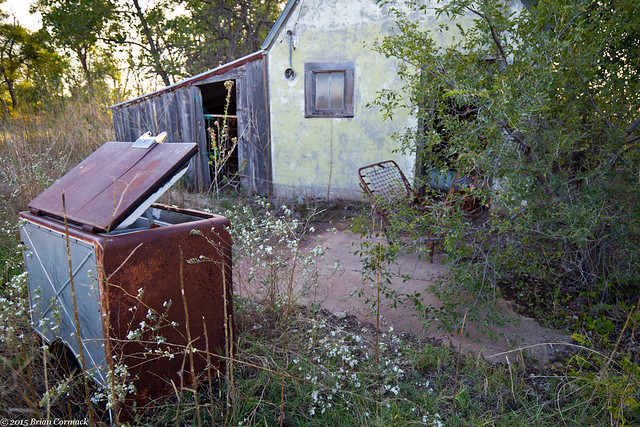
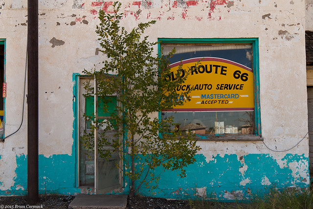
Judging by the trees growing in front of the garage doors, this old auto parts store has been closed for a long time. I looked inside the broken window and was a little surprised to see that the inside of the store still had a bunch of old merchandise inside, untouched as if it had just closed for the day a few hours before. The only way of really telling it had been abandoned were the pieces of the ceiling that had fallen down, and a thick coating of dust on everything.
IMG_5324-2

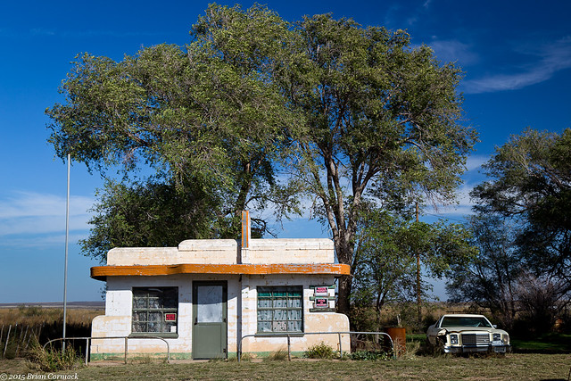
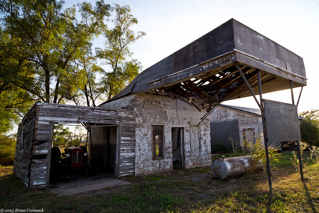
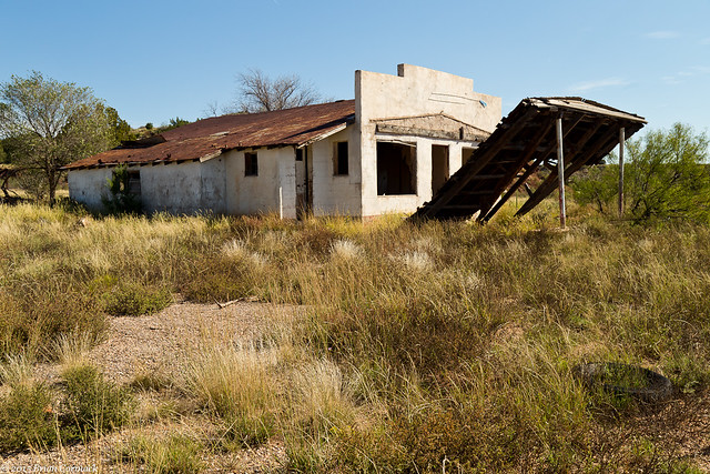
We drove down Route 66 out of San Jon, heading further west. Along the way we stopped at this old gas station, weathering away in the sun.
IMG_5357-2

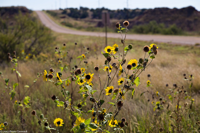
A lot of sunflowers lined the roads in New Mexico and Arizona, which added a pop of color that I was expecting to find in the southwest in the fall. These flowers were growing right along the side of old Route 66, which is in the background of this shot.
IMG_5369-2

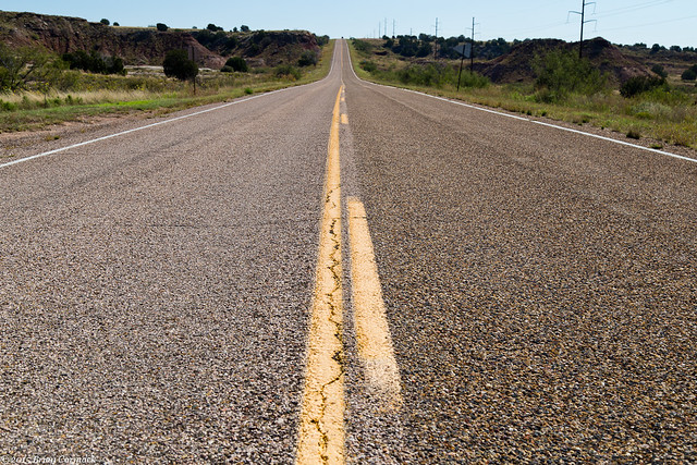
And once the traffic was clear, I ran out into the road to get a better shot of Route 66 (there was no one coming!).
IMG_5383-2

Next we followed Route 66 to Tucumcari. This is one of the most famous towns along Route 66, and it is a quintessential stop for anyone traveling the old road.
IMG_5407-2

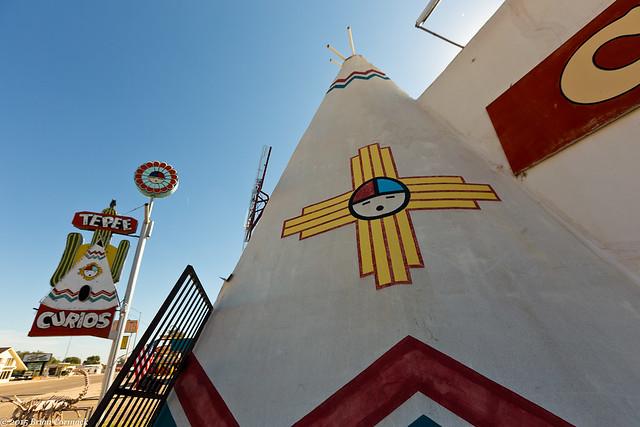
As the largest town between Albuquergue and Amarillo, Tucumcari has long been a popular stop along Route 66. Back in the glory days of Route 66, the town was packed with unique hotels, shops and restaurants. Many of those are still open, and include some of the most iconic buildings along Route 66. We stopped at the TeePee Curios, with the large concrete teepee that you walk into to get inside. The shop is an old gas station and gift shop that was built in 1944. When Route 66 was widened in 1959, the gas pumps were removed but the teepee entrance was added. The elaborate neon sign was added in the 1960s.
IMG_5425-2

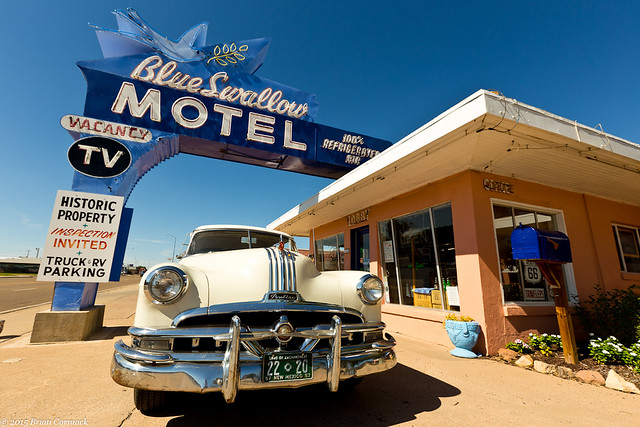
One of the most iconic places on Route 66 is the Blue Swallow Motel, which opened in 1941. The motel has been well-preserved and I wish we could have stayed there on this trip (maybe next time).
IMG_5440-2

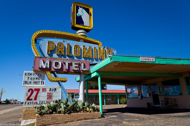
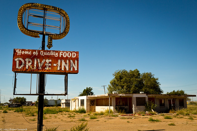
We drove down Route 66 through Tucumcari, stopping at a few more places that had closed but still had up their old signs.
IMG_5474-2

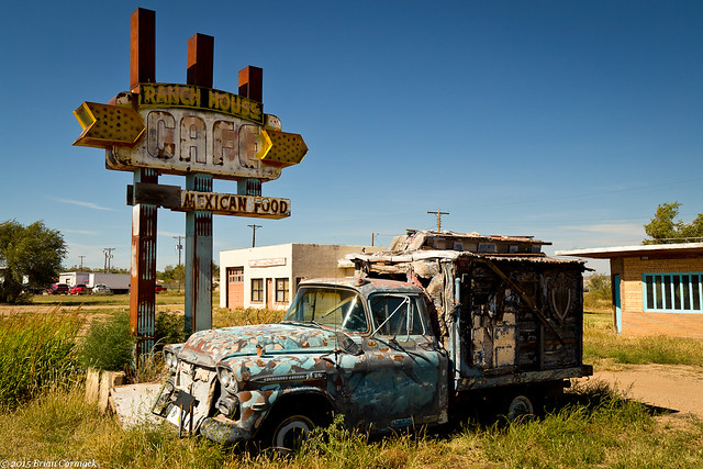
Driving through Tucumcari makes you wish you could have been around to see it during the glory days of Route 66. But it is still one of the more unique towns along the road. We stopped one last time before heading west to see a few more ghost towns.
IMG_5480-2

Tuesday, November 3, 2015

Route 66 - Texas

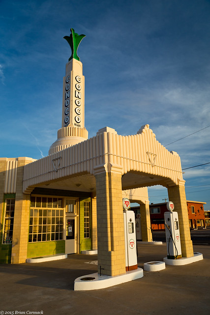
We continued driving West, entering into the flat lands of the Texas panhandle.  At the town of Shamrock, we drove by one of the most famous buildings along Route 66.  The landmark Conoco Tower Station sits at the corner of Route 66 and Highway 83, and was built in 1936.  When I-40 was completed and Route 66 was decommissioned, the station and cafĂ© inside closed. But it was restored in the 2000s back to the shine it must have had back in the heyday of Route 66.

IMG_4896-2

The sun began to set and it was dark by the time we arrived in Amarillo, our first pit stop of the trip. Since we were staying in Amarillo, we had to of course pay a visit to the Big Texan Steak Ranch. This huge restaurant is famous for giving away a free 72 ounce steak, but only if you eat the whole thing (including salad and potato) in under an hour. I had a measly 8 ounce steak and was stuffed, so I wouldn’t be up to the challenge. But apparently the Big Texan has recently started their own brewery and I was impressed with the beers that I sampled there (I was tempted to try 72 ounces of their beer, but we had an early start in the morning).

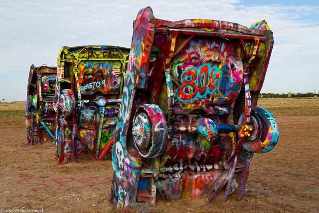
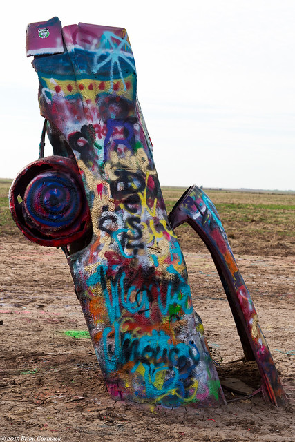
The next morning we headed out from Amarillo, making a brief stop at the Cadillac Ranch. The Cadillac Ranch is a large, somewhat random, outdoor art piece with 10 old Cadillacs halfway buried into a field on the outskirts of town. The angle of the Cadillacs is said to be the same of the Great Pyramid in Egypt. Decades of people spraypainting the cars have turned the Cadillacs into a hodgepodge of colors. The accumulated layers of paint is so thick that in many places it hangs down like stalactites.

IMG_4967-4

There was a group out there that morning painting one of the cars one solid color, using a large industrial paint blower. I didn’t think a heavy duty painter, and the strong Texas winds, would be a wise thing to stand next to (or downwind from).

IMG_4984-4

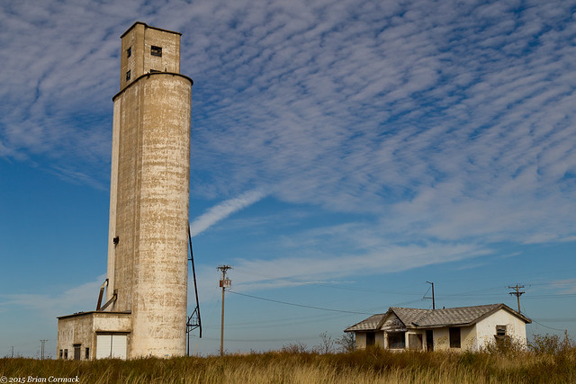
We continued on, heading further west towards New Mexico. I stopped at this old silo in the small town of Landergin, which was seemed to be mostly a small collection of abandoned buildings. The silo sat empty, but the landscape beyond it was dotted with hundreds of tall wind turbines.

IMG_5002-4

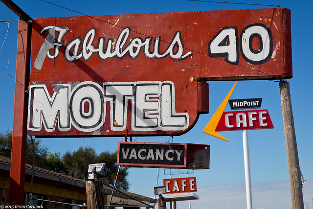
Further on we drove through the town of Adrian, which is actually the midpoint of the original Route 66. From Adrian, both Chicago and LA were only 1,139 miles away. The midpoint is marked today with a modest sign, and with a quaint old diner and gift shop. The Fabulous 40 motel next to it seems to seen better days, however.

IMG_9706-3

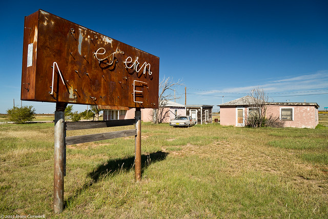
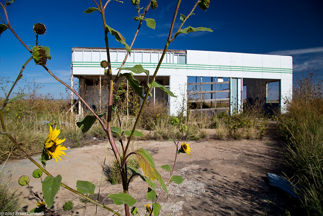
From there we stopped in Glenrio, a ghost town that is perched right on the border of Texas and New Mexico. It’s a neat spot, with several old buildings that are rusting and fading away. This old gas station sits right by the freeway off-ramp, but is empty and surrounded by overgrown weeds.

IMG_5044-3

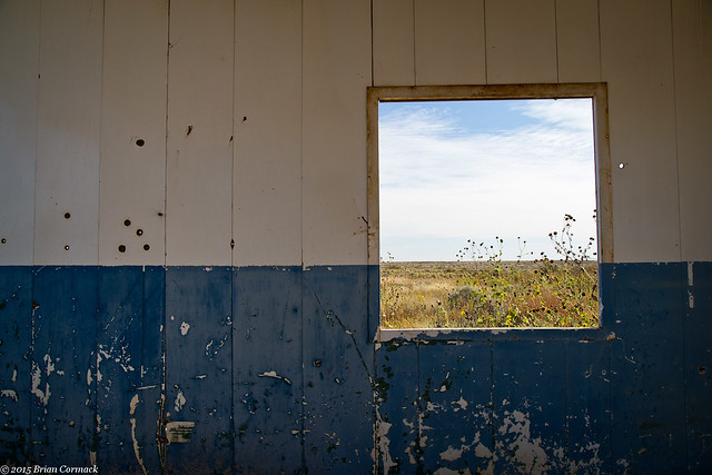
All that remains are the walls, which are slowly being filled with rust and what appear to be bullet holes.

IMG_5056-3

IMG_5064-3

The town of Glenrio was founded in the early 1900s when the Chicago, Rock Island and Gulf Railway put a rail station here. By the 1920 the town had grown large enough to support a hotel, several cafes, stores and service stations. Route 66 passed through the heart of the town, and business was so good that the road was even widened to welcome all of the traffic through town.

IMG_5085-2

But like so many Route 66 towns, it began a steep decline when the freeway bypassed the town. The loss of highway traffic, and the closing of the rail depot in the 1950s, marked the end of Glenrio. Now all that remains are the remains of the old cafes and hotels.

IMG_5126-3

This old hotel and cafe sat perched right on the Texas-New Mexico border, and the sign advertised it as either the "First Hotel/Last Hotel in Texas."

IMG_5099-3

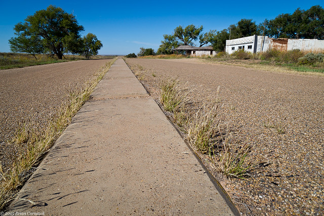
Back in the 1950s, dividers were placed in the middle of Route 66 to help with traffic. Not much other traffic came by when we were there, just one car passed by. It was eerily quiet in Glenrio, except for the hum of traffic on the nearby I-40 and a few barking dogs.

IMG_5222-3

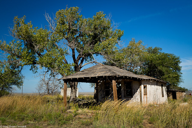
This old gas station sat on the New Mexico side of Glenrio, slowly crumbling away.

IMG_5160-3

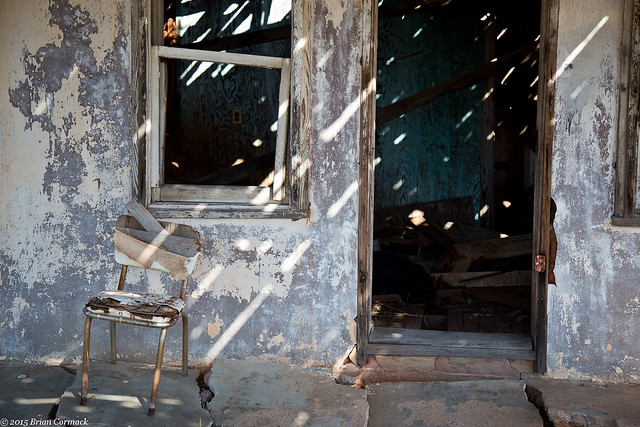
Someone sat this old chair by the front door, unevenly perched on the cracked concrete. I looked inside and the roof had collapsed, and the walls seemed to be caving in as well. Sadly this is one of many old buildings along Route 66 that probably won't be standing for too much longer.

IMG_5172-3

We left Glenrio and drove into New Mexico, ready to hit a few more old Route 66 towns.

Monday, November 2, 2015

Route 66 - Oklahoma

My wife and I just returned from a week-long road-trip vacation out West.  The trip was for our second anniversary, and to have one last big trip before the baby is born in a few months. After much deliberating, we decided to drive to the Grand Canyon.  Caroline and had never been to the Grand Canyon before, and the one time I’d been there had been pretty rushed. After some difficulties with flights on a few recent trips, we decided it might be best to drive this time around.  We’d have more time and freedom to travel at our own pace, and to see some different places.  So after arranging dog-sitters and ensuring that my car could handle a cross-drive, we loaded up the car for the trip west.

It would be a lot of driving, but luckily the drive to Arizona would follow the path of old Route 66. The most famous road trip in the country, Route 66 features tons of quirky old shops, diners, tourist traps and ghost towns. So instead of just hours of boring freeway driving, we would be free to detour off the interstate and visit some stops along Route 66 whenever we pleased. It was a great way to break up the drive, and provided plenty of chances to get out and rest (and take pictures) along the way.
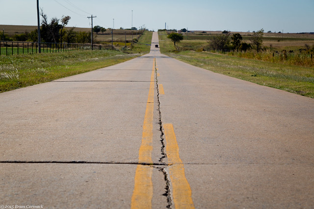
We left Little Rock in the morning and crossed into Oklahoma a few hours later. Starting in Oklahoma City, Interstate 40 begins to run parallel to the remains of Route 66. At the small town of El Reno, we exited and then drove along a stretch of Route 66. This drive was unique because it featured some of the original concrete that was installed way back in the 1930s. Besides for a few cracks and bumps, it was in surprisingly good condition.

When we first started driving down this stretch of Route 66, Caroline reported that she felt the baby kicking several times. So the kid was able to get his kicks on Route 66. Which means it was either a bit of luck and a quirk of timing, or we have a genius baby.

IMG_4541-2

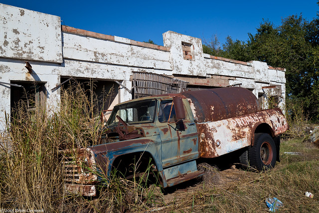
We drove over the Historic Canadian River Bridge, which was built in 1933 and is the longest bridge on Route 66. It’s a neat old truss bridge, but there was a bit of traffic and I didn’t see a safe place to pull over to get pictures. Further down the road I did stop at the ruins of this old gas station, with this rusty old truck parked in front.

IMG_4559-2

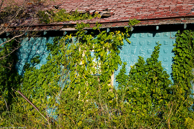
We got back onto the freeway and headed towards the town of Texola, which sits right on the border of Oklahoma and Texas. The town was founded in 1901 but is all but a ghost town now. This house sat along Route 66, and was nearly obscured by thick vines.

IMG_4677-2

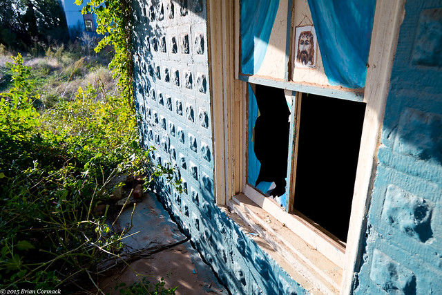
Looking past the thick weeds, you can see this window which has been partially broken. A somewhat creepy looking Jesus was watching as we were looking around (forgive me my trespassing?).

IMG_4643-2

And the view, looking into the broken window (I was a little afraid that I might see someone or something lurking inside).

IMG_4654-2

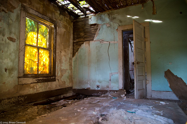
Just down the road was another abandoned building, this one a small gas station or cottage. More tall weeds have grown up and around the ruins.

IMG_4724-2

IMG_4772-2

Further down the road is the old Magnolia Service Station, which was built in 1930.

IMG_4793-2

Across the street was this abandoned building, which also looked like it had been closed for many years.

IMG_4824-2

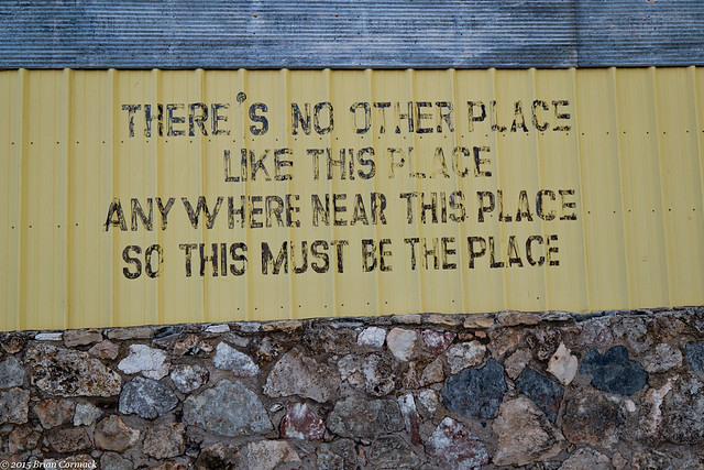
Closer to the state line was this building, which was newer but also looked to be closed. This was painted on the side:

IMG_4835-2

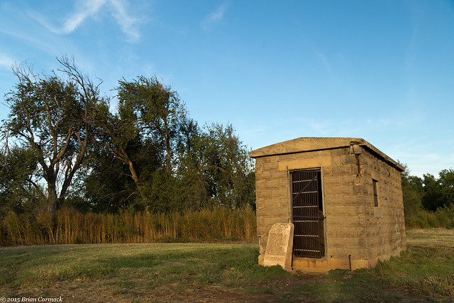
One other old building in Texola is the old town jail. The small one room jail was built in 1908 and has been restored.

IMG_4850-2

If you go through the rusty metal door there are a few history exhibits, if you dare to go inside.  Luckily it didn't lock on me when I went inside.

IMG_4873-2

From there we crossed the border into Texas, and headed further West.

Thursday, October 15, 2015

Fletcher Creek

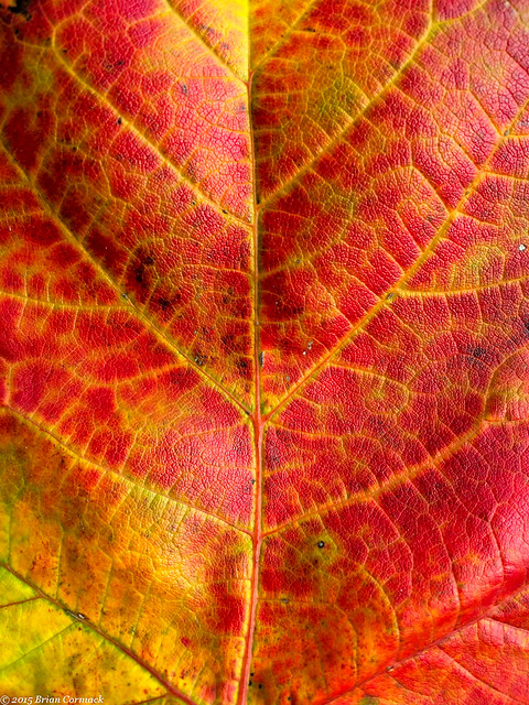
Autumn is very slowly beginning to creep into Little Rock, although you wouldn't guess it based on the temperature (all-time high today of 98 degrees). But a few trees are starting to show some fall colors, a few weeks before they usually reach their peak. This leaf fell by my office, and I snapped a quick picture of it while on break.

Fall

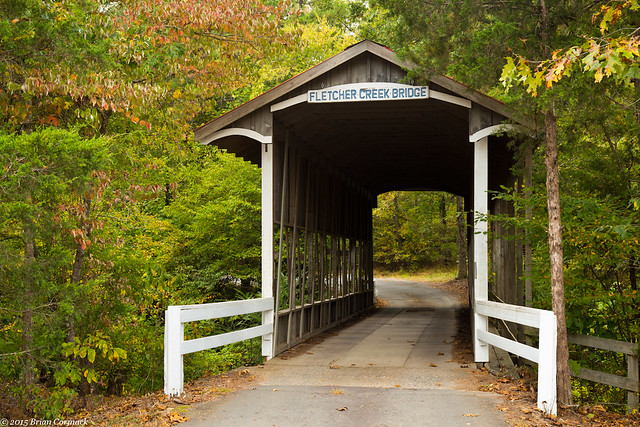
My work is located far out in the suburbs of west Little Rock, and one day after work I headed out to take a few pictures in the rural lands that sit just beyond the city limits. It's amazing that you can find some great hidden spots, all just a quick drive from the city. There is an old covered bridge that is just a short drive from my work, located above the quiet Fletcher Creek.

IMG_4456-3

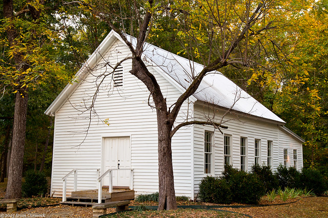
Down the road is an old church, the Walnut Valley Methodist Church. It was built in 1885, and has been completely restored.

IMG_4507

Although the Little Rock suburbs have been steadily encroaching, this area still has a rural feel to it. That all will change, unfortunately. A new development has been planned for this area, which will place 266 homes in a 154-acre subdivision. The development will completely wreck the peaceful valley, knocking down the thick forest and polluting the creek. There is still a chance that the subdivision plans will be denied, and the homes moved to an area that would be a better fit for a large subdivision.

Wednesday, October 7, 2015

Downtown

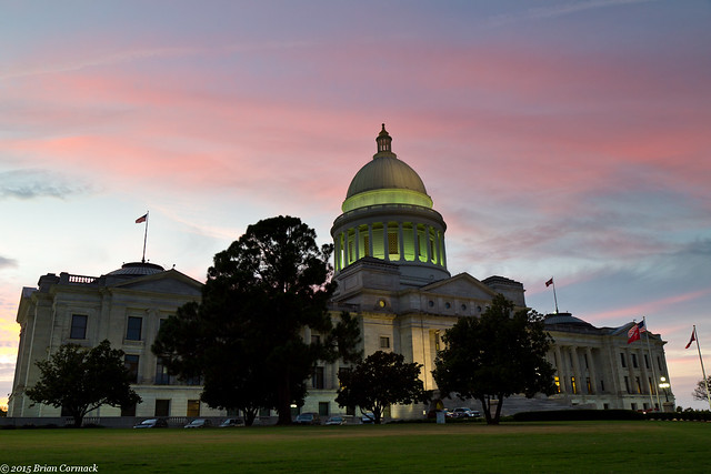
I headed out last week to try to take a few pictures in downtown Little Rock, and ended up driving by the State Capitol right around sunset. They were just starting to switch on the big lights on the capitol, which is why part of it is darker and part of it is green.

IMG_4373-3

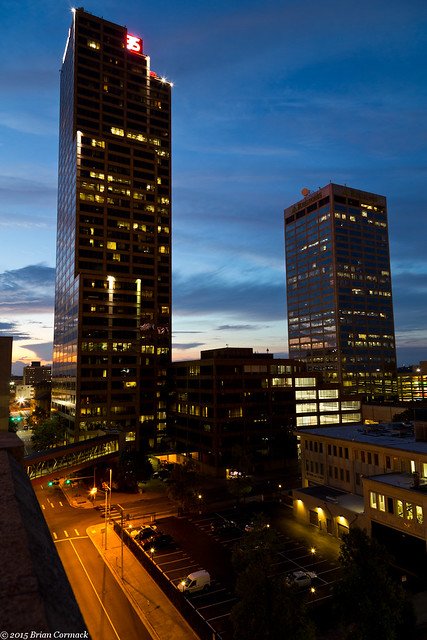
I drove a few blocks over and went to the top of a parking deck, which provides a bit of a different view of downtown. It sits across the street from the Simmons Tower, which at 40 stories is the tallest building in the state. Also in this shot is the Regions Center, which is the second tallest building in the state.

IMG_4392-2

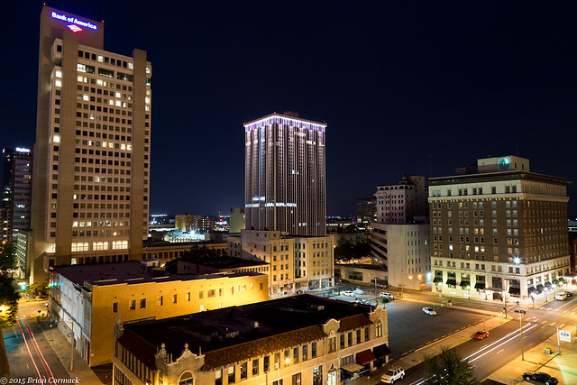
And one last shot, looking north from the parking deck. There is a restaurant in one of the buildings on the corner, and I was very tempted to rush down there to have dinner. It smelled like bacon was cooking, and the scent of it must have drifted up in a cartoon-like cloud to the top of the parking deck. I was ready to abandon the camera, but stuck around to take a few more pictures before heading home.

IMG_4423-2