Monday, November 17, 2014

Roaring Fork

On our last day, we decided to end the trip with a visit to one of the more spectacular areas of the park.  The Roaring Fork Motor Scenic Drive is a short loop (only about 6 miles), but it packs a lot into that short distance.  The drive actually starts in Gatlinburg, but it feels miles away from the packed strip of tourist traps and acres of Ripley’s Believe It Or Nots.

From Gatlinburg, the drive dips right into the middle of a thick and old forest. The road is narrow and one-way, and is too small for busses or RVs. While there was some traffic, it wasn’t as crazy as the gridlocked traffic jams in Cades Cove. People were driving extremely slow in places because this is supposedly one of the better places in the park to spot wildlife, like bears. We didn’t see anything, unfortunately. The only wild animal we encountered on the trip was the raccoon that visited the back porch of our cabin.

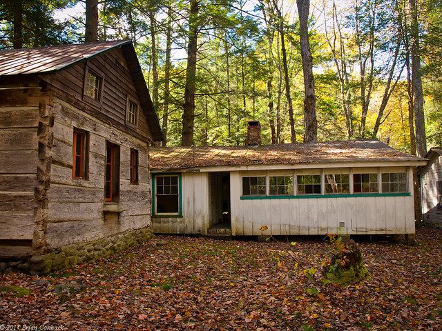
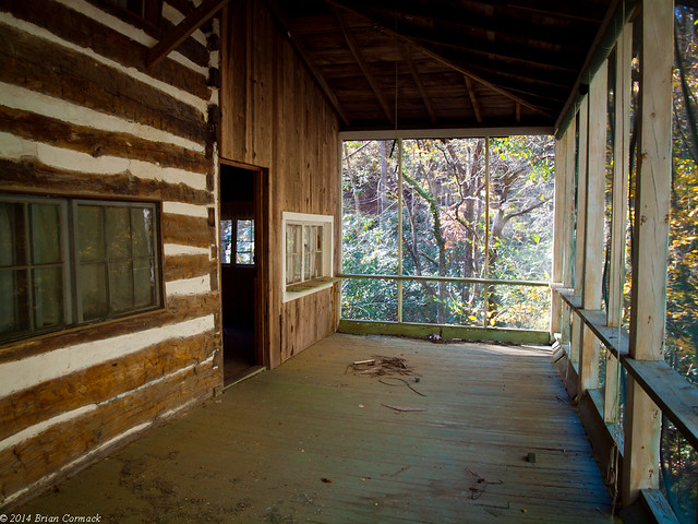
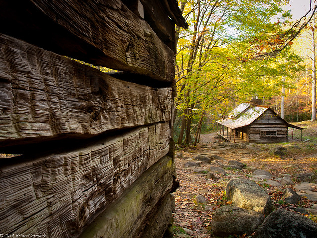
Non-native settlers began exploring the Roaring Fork area in the early 1800s. By the 1850s, there was a big enough population here that a crude road was constructed (which is now the Scenic Drive), and the amenities included a school, church, general store and two mills. The first stop on the Scenic Drive is the Ogle Homestead. The old cabin and barn were built sometime in the 1880s and 1890s. The cabin was built in the “saddleback” style, and is actually two cabins built around a single chimney.
PA235774-3

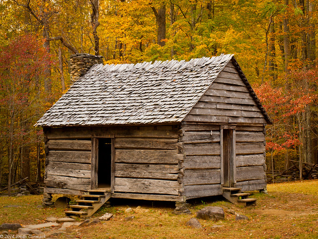
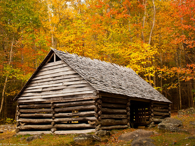
We headed to the next stop, the Jim Bales Place. The Bales family moved into this area in the 1830s, and built a homestead here. The old cabin is old, but it isn’t original to this spot. The Bales family apparently built a more modern house here, but the Park Service tore it down and moved in another old cabin that would better represent the olden pioneer days of Appalachia.
PA235840-2

PA235818-2

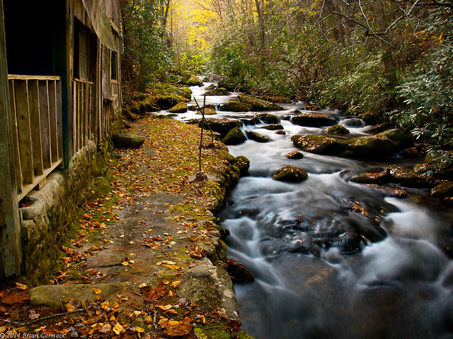
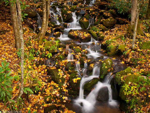
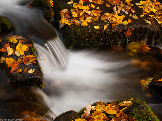
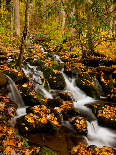
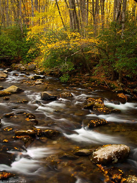
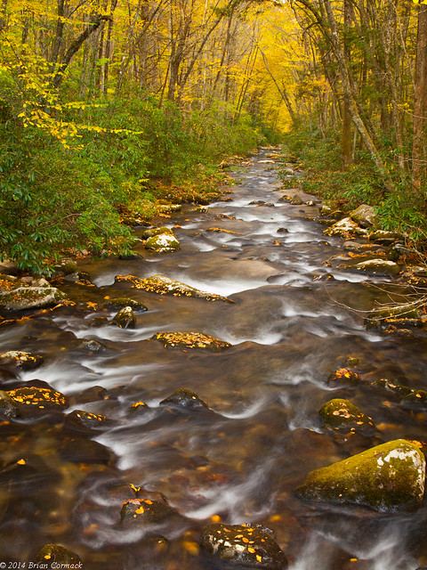
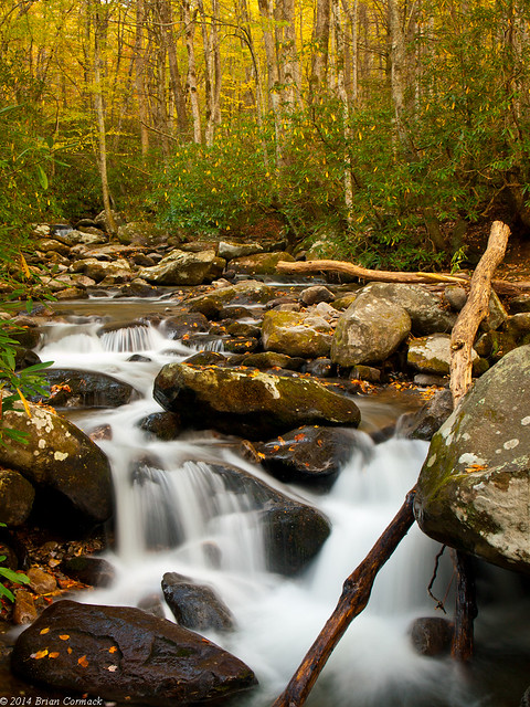
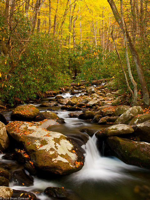
While waiting for a group taking family pictures to move along, I dropped down to explore Roaring Fork Creek. The creek starts along the slopes of Mount Le Conte, at an elevation of nearly 5,000 feet. From its beginnings, the creek drops more than 2,500 feet in just a few miles, eventually heading into the narrow valley that is part of the Scenic Drive.
PA235815-2

PA235827-2

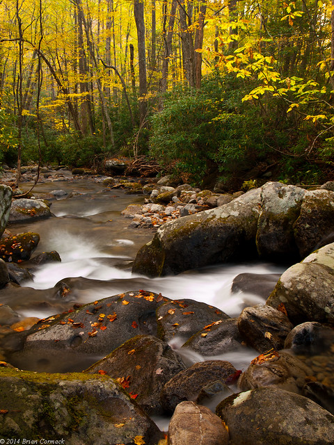
The creek gets its name because it can get quite vicious after heavy rains, and will loudly “roar” off of the surrounding mountain ridges.
PA235841-2

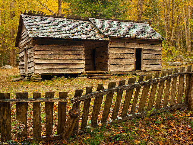
Just down the road is the farm that also belonged to more members of the Bales family. The home here is an old dog-trot cabin that was probably built in the early 1900s.
PA235862-2

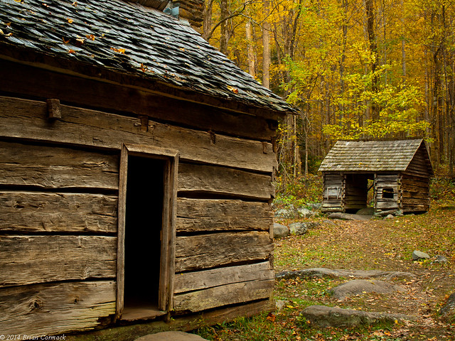
There are also a few other outbuildings that have been preserved here, including a hog pen, corn crib and a barn.
PA235869-2

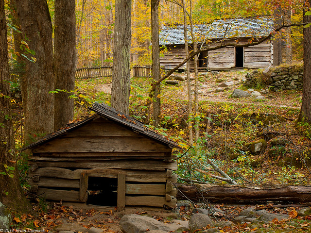
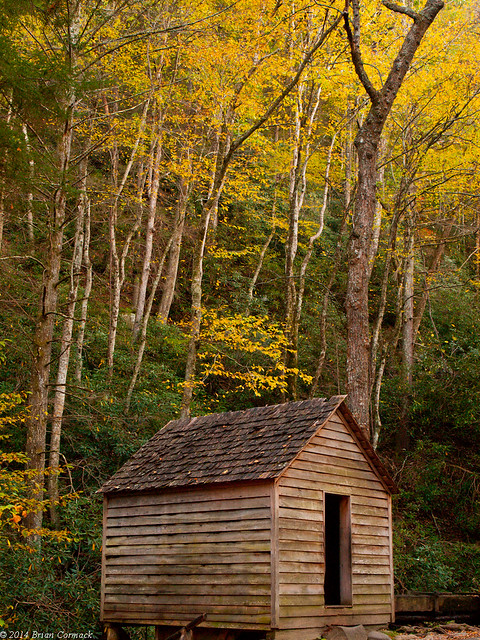
This one looked like a little dog house, like an old timey Snoopy would have been sitting on it back in the olden times.
PA235854

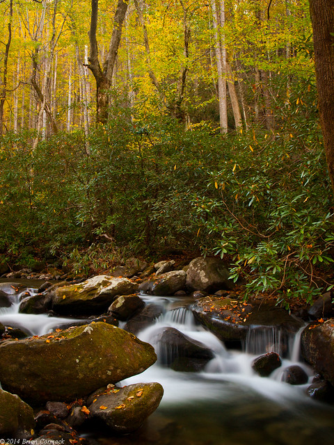
The creek was built along the creek, which was making a lot of noise that day.
PA235857-2

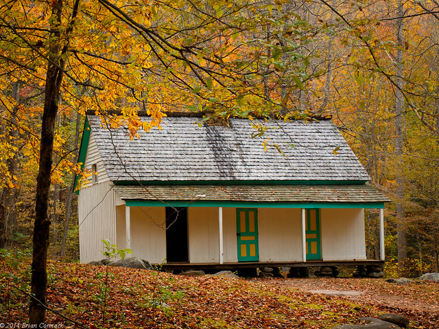
The last stop was the old Reagan Place, which stands out because the old saddleback cabin has painted sawboard panels.
PA235883-2

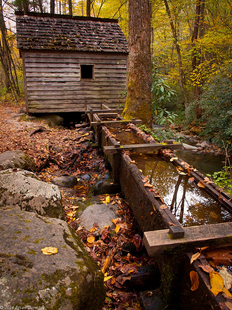
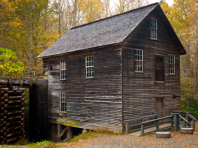
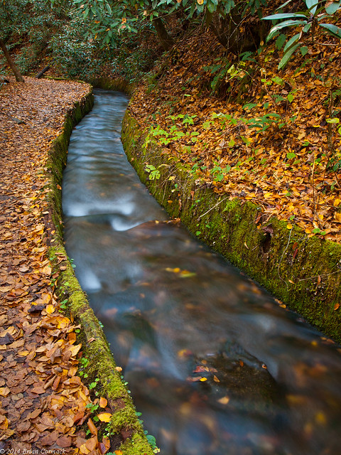
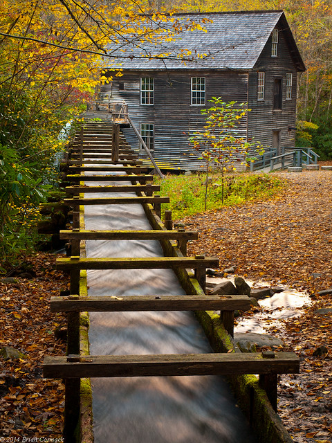
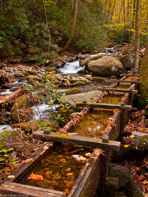
There is also a small grist mill here, with a wooden culvert directing water from the creek.
PA235875-2

PA235872-5

I wish I would have had more time to explore this area, but it was getting dark. I tried to squeeze out as much light as I could, but had to give in when I could barely see through the viewfinder.
PA235888-2

We drove back into Gatlinburg, and celebrated our first anniversary at The Melting Pot. We left the Smokies the next morning, driving back to Nashville to celebrate our friends wedding. It was a great trip, one that I didn't want to end. But I did have some fall colors back in Arkansas to look forward too....

Sunday, November 16, 2014

Smokies Sunset

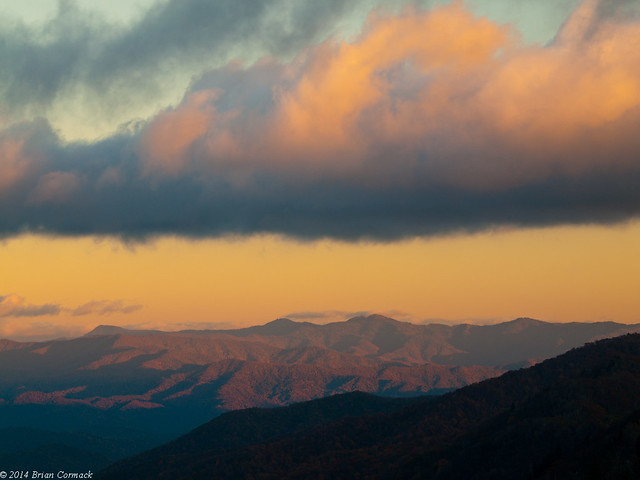
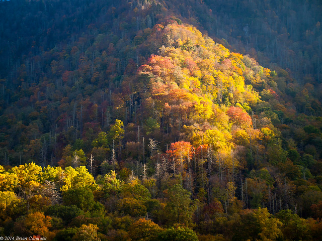
We ended up spending a lot more time at Elkmont than we had planned, which ate into our time to see another spot before it got dark. So we drove back into the park, over the Newfound Gap and into North Carolina again. Along the way we stopped at this overlook, where the light from the sun was hitting the sides of one of the mountains.

PA225570-5

There was an overlook that we saw the day before that I thought might be a good sunset spot. It was up high, near Clingmans Dome. So that meant it was windy and cold, but I hurried out to claim a good spot. I had been to a few places before where it gets crowded with cameras and tripods, so it's wise to stake your claim when you can. But while it was a good overlook, it wasn't apparently the best sunset spot. A few other photographers showed up, but they hurried on to another spot. The ideal sunset spot, apparently, was down the road. Whoops, but it was a nice overlook.

PA225583-4

I decided to drive to another spot, but the sun had pretty much set. I pulled over and managed to catch this view before it got dark.

PA225695-3

Thursday, November 13, 2014

Elkmont

The next day, we headed back into the park and visited Elkmont. You may have heard of Elkmont, since it was recently the center of a weird little news story that went viral last month. A hiker posted a video on Youtube, where he awkwardly stated that he “discovered an abandoned neighborhood” in the middle of the Great Smoky Mountains National Park. The video got picked up by a hiking website, then by the Huffington Post. Soon news sites were spreading the story of a mysterious town, long abandoned and unknown being found like it was the lost city of Atlantis.

Yahoo News poetically stated that the hiker “followed an unmarked gravel road through thick forest up a hill to where a staircase covered in grass leads to the front of the site.” Which makes one imagine Indiana Jones using a machete to clear a path to Elkmont through thick jungle. A lucky hiker finding a “town that time forgot,” right smack dab in the country’s most popular national park? How amazing!

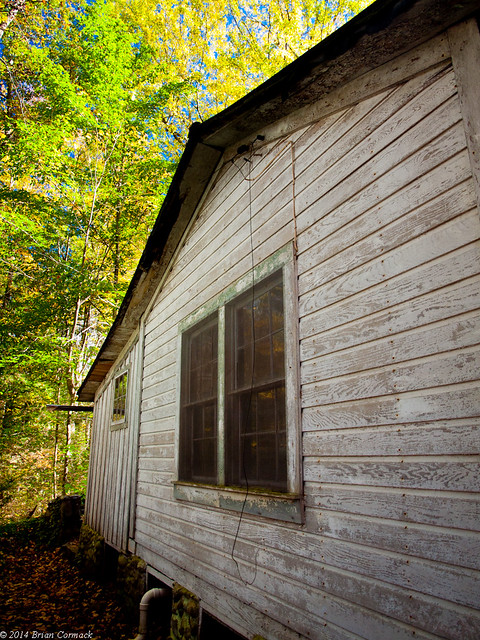
Elkmont is a neat collection of abandoned buildings, but it was hardly forgotten, lost or stashed away in secret. The largest campground in the national park is at Elkmont. The town is close to the Sugarlands Visitor Center, and along the busy road that leads to Cades Cove. Thousands of people visit the old cabins at Elkmont every year, and you can actually drive right up to them. If the people who mindlessly spread the news story had made a quick Google search, they could have found thousands of pictures of Elkmont.

Like this one!

PA225279-2

We parked and went to have a look at the buildings. Elkmont got its start in 1908 by the Little River Lumber Company, who established a base there. A few years later, they began selling plots of land to hunters and fisherman from Knoxville. The Appalachian Club and the Wonderland Park Hotel would soon open, attracting more visitors. By the 1920's, Elkmont was the top vacation spot for Knoxville’s rich and famous.

PA225182-2

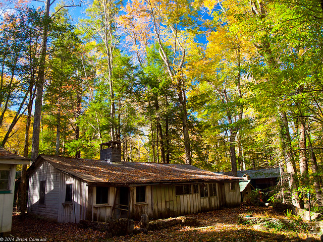
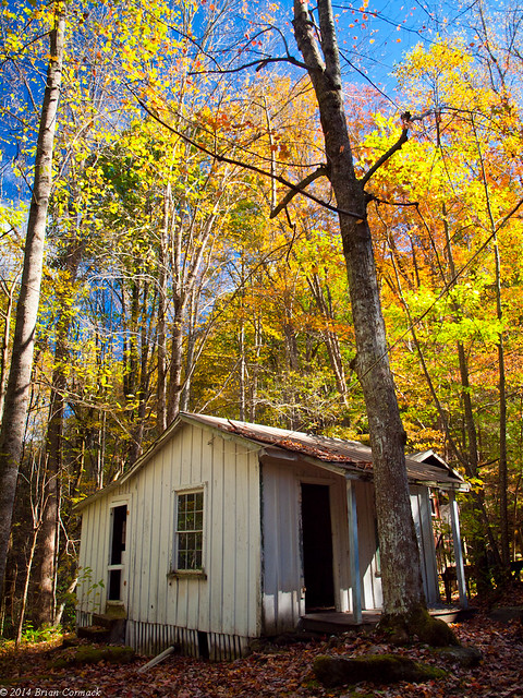
Several large cabins and cottages were constructed, many of which are still standing today.

PA225341-2

When the National Park was created in 1933, the cottage owners were granted lifetime leases. Those leases were coverted into twenty years leases, but the National Park Service refused to renew them in 1992. The park wanted to tear down all of the old buildings, and let the land return to nature.

PA225202-2

PA225237-2

PA225265-2

In 1994, the Wonderland Hotel and several of the cottages were placed on the National Register of Historic Places. This resulted in a debate about the fate of the Elkmont buildings. Save them for their historic value or remove them and give the land back to the forest?

PA225300-2

PA225308-2

In 2005, the Wonderland Hotel collapsed. But the National Park Service decided to go ahead and preserve the Appalacian Club and 18 of the most notable and historic buildings. The rest will be removed, unless gravity and the weather don’t complete the job first.

PA225401-2

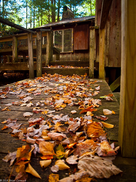
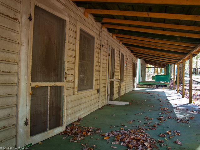
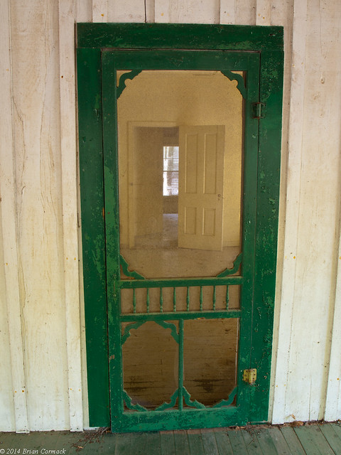
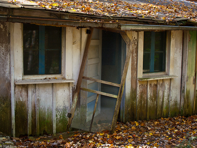
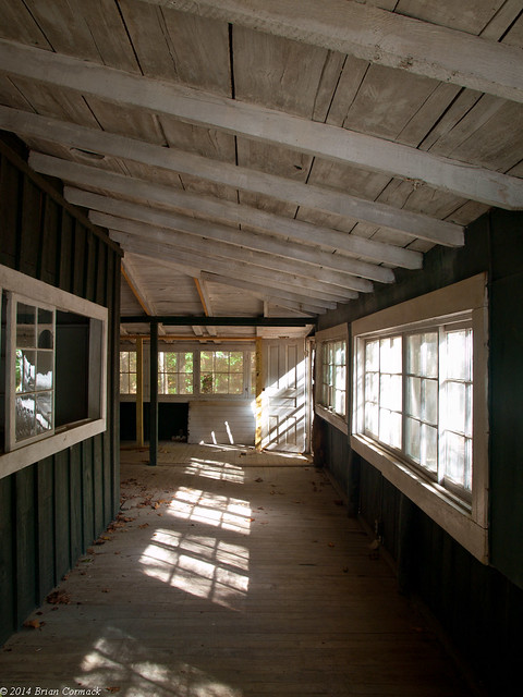
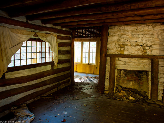
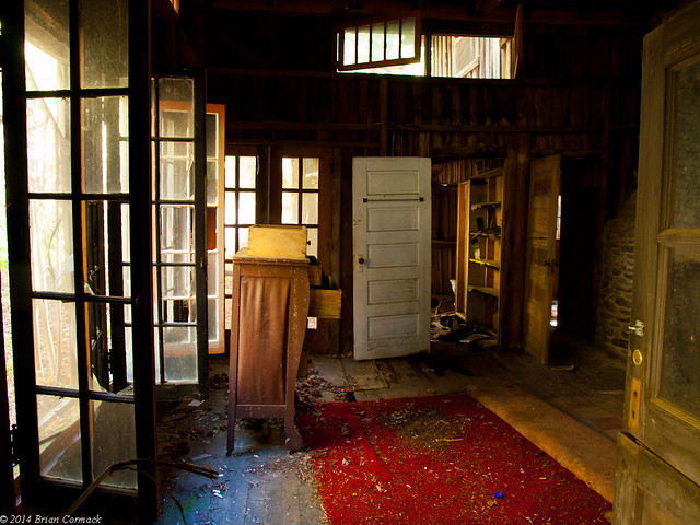
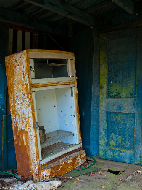
It is a little creepy at some of the buildings, this probably wasn’t the best place to visit right before Halloween. Some buildings would still be in decent shape, while others were trashed out. Foundations had sunk in a few buildings, dropping the floor a few feet. Doors had rotten off their hinges, and daylight streamed through holes in the walls and ceilings. All of it with the little hint of sadness that haunts old abandoned places like this.

PA225447-2

PA225483-2

PA225535-2

PA225542-2

Several old buildings sit along Jakes Creek, which must have been prime real estate when these were built. Some of them have already collapsed, others were closed off with tape.

PA225556-2

It reminded me a lot of the old ghost towns along Route 66. Once grand relics of another era, that are being slowly worn down by time. We spent a few hours here, and still didn't see all of the buildings there. Guess we'll have to go back and "discover" them next time!

Tuesday, November 11, 2014

Mingus Mill

Our next stop was Mingus Mill, which sits in the Oconaluftee Valley in the North Carolina portion of the national park.  The mill was at the top of my list of places to visit in the Smokies, and I was eager to see it in person.  Mingus Mill is an old mill, built over three months in 1886.  It only cost $600 to build, and operated until the National Park took it over in 1934.  It was restored in 1937, but closed during World War II.  The mill reopened in 1968, and you can still go inside to see how it works and buy grain and corn and whatnot.

PA215009-2

What makes the mill unique is that it uses a turbine, and not a water wheel. Water from the creek is diverted, and then travels along a moss-coated canal.

PA214924-2

The water is then channeled into a 200 foot long wooden flume that carries it to the mill like an aqueduct. Closer to the mill, excess water pours off in a waterfall. It’s a really neat spot, and we spent a long time there taking pictures.

PA214989-9

Thursday, November 6, 2014

Oconaluftee River

The next day, we slowly made our way through Gatlinburg and headed back into the park. We drove on the Newfound Gap road, which runs right into the heart of the Smokies. The twisty road actually gains 2,000 feet in elevation as it climbs to Newfound Gap, a 5,048 foot tall mountain that sits on the border between Tennessee and North Carolina. It’s a popular overlook, with good views of the mountains that stretch off into the distance (it was too sunny, so my pictures from there didn’t turn out). The Appalachian Trail passes by here too, and we hiked on it for a bit. Although we didn’t make a big dent on it (it was only 1,972 miles to Maine!).

We drove deeper into North Carolina, and made a stop at this small waterfall. It was right by the road, but only a few other people stopped to take pictures. It was a nice change after the scrum of people at Cades Cove the day before.

PA214851-2

PA214841-2

PA214847-2

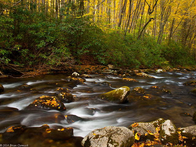
The road runs alongside the Oconaluftee River, a very scenic mountain stream. Ocanluftee gets its name from a Cherokee village called Egwanulti that once existed somewhere along the river. It was the only permanent Cherokee settlement in what is now the national park, but it’s believed the village was destroyed during the Revolutionary War.

PA214875-2

The river is quite scenic, and has some class II-III rapids that are popular with floaters. I also saw a lot of people fly-fishing along the river.

PA214881-2

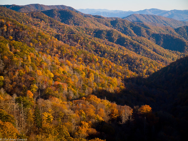
The Great Smoky Mountains National Park protects one of the most diverse ecosystems in North America. An average of 85 inches of rain falls here a year. This feeds over 2,100 miles of streams and rivers in the park, and provides habitat for over 1,600 flowering plants, 100 native tree species and over 100 native shrub species.

PA214887-4