
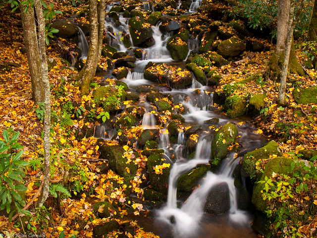
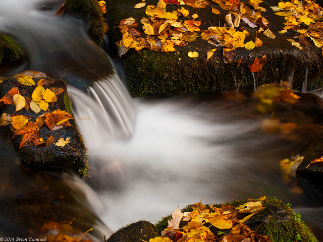
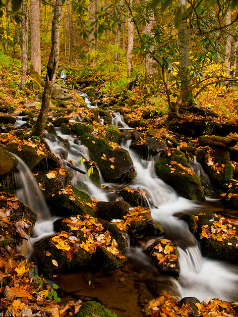
We drove deeper into North Carolina, and made a stop at this small waterfall. It was right by the road, but only a few other people stopped to take pictures. It was a nice change after the scrum of people at Cades Cove the day before.
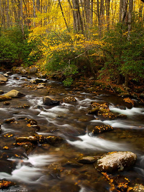
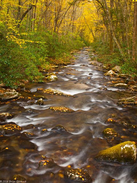
The road runs alongside the Oconaluftee River, a very scenic mountain stream. Ocanluftee gets its name from a Cherokee village called Egwanulti that once existed somewhere along the river. It was the only permanent Cherokee settlement in what is now the national park, but it’s believed the village was destroyed during the Revolutionary War.
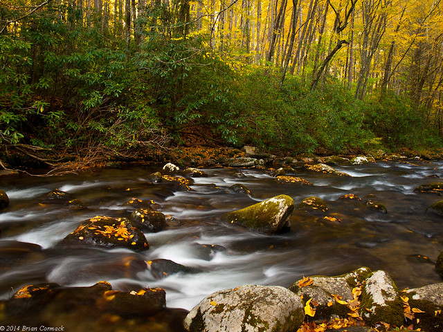
The river is quite scenic, and has some class II-III rapids that are popular with floaters. I also saw a lot of people fly-fishing along the river.
The Great Smoky Mountains National Park protects one of the most diverse ecosystems in North America. An average of 85 inches of rain falls here a year. This feeds over 2,100 miles of streams and rivers in the park, and provides habitat for over 1,600 flowering plants, 100 native tree species and over 100 native shrub species.

No comments:
Post a Comment