Friday, August 31, 2018

Buffalo River

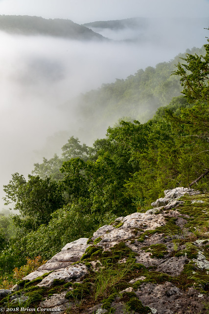
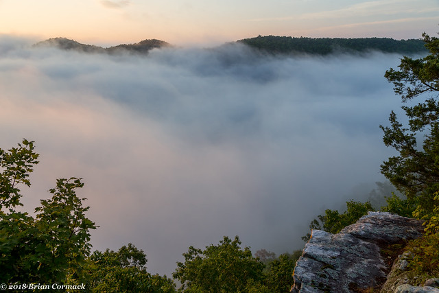
Usually an alarm clock is the last thing I would want to hear at 5:30 AM on a Saturday, but at least this time it was for a good reason. We headed out in the dark and drove towards a nearby overlook that was perched on a bluff along the Buffalo River. We made a short hike through the dark woods as the predawn light grew brighter, and we soon reached the overlook. But there wasn't much of a view. From there we could definitely hear the river below, but couldn't see anything. The river was hidden under a thick shroud of fog.

IMG_0154-2

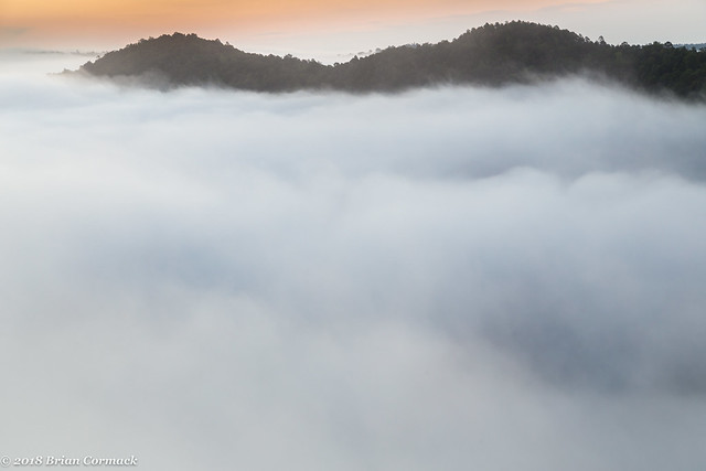
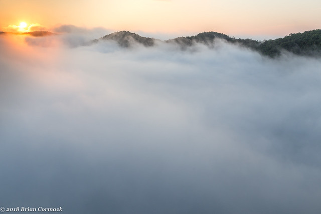
Just before sunrise, the sky lit up orange as the fog moved across the valley like waves.
IMG_0160-3

Finally the sun rose high enough to clear the mountains, and golden light shined down on the fog.
IMG_0218-2

IMG_0230-2

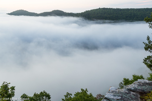
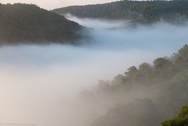
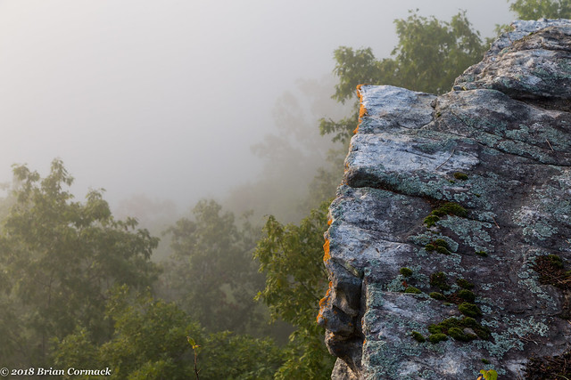
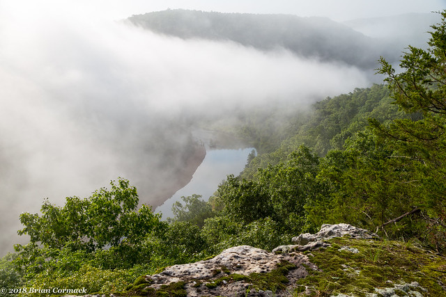
The fog acted like it had a mind of its own, and would grow thicker and then diminish. Sometimes the bluff we were standing on would be completely encased by fog, and then sometimes we'd get a little window through the mist and could see more of the surrounding hillsides. This is the view looking upstream, when some of the fog cleared enough where we could actually see out.
Buffalo River

IMG_0273-2

IMG_0291-2

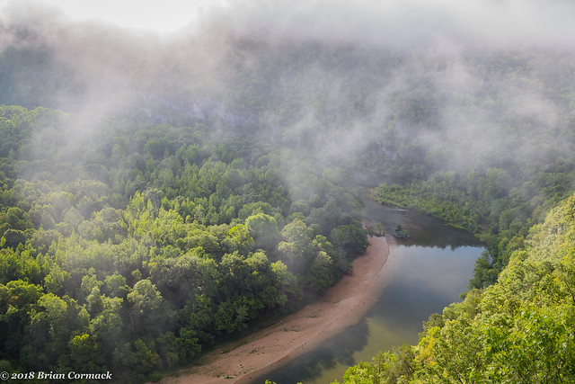
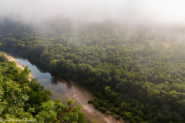
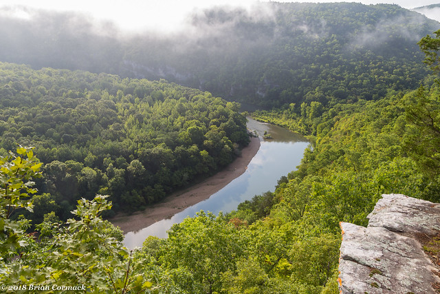
The fog was so thick that we ended up having to wait three hours before it cleared enough where we could actually see the river (I wished I had my sleeping bag so I could have napped for part of that wait). But soon enough, the fog dissipated and the river finally made an appearance.
IMG_0324-2

IMG_0350-2

IMG_0369-2

And one last shot from the overlook, before we hiked through the woods (and the countless spider webs and ticks) towards the car.
IMG_0394-2

Wednesday, August 29, 2018

Loonbeam Hollow

Earlier this month, I was able to leave work early one Friday and head up into the Ozarks to visit Zack. He recently moved onto a piece of land located just outside the boundary of the Buffalo National River, which makes it the perfect basecamp for going out on a few excursions up in the hills. After dinner we headed out to an overlook that sits in the Ozark National Forest, with sweeping views over the mountains. We had to drive a bit to get there, heading down a few miles of bumpy dirt roads.

IMG_9878-2

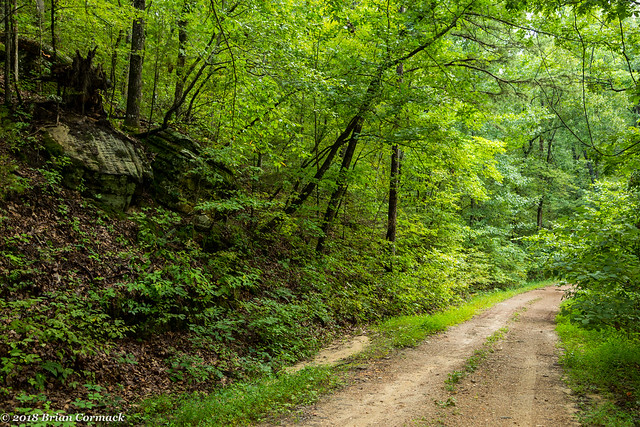
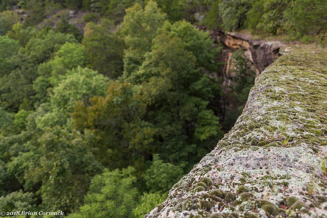
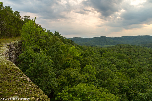
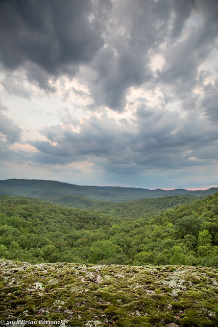
To get to the overlook we did a short hike along an old road trace, which didn't seem like it had much traffic lately since there were dozens of spider webs strung across the path. Eventually we made it to the overlook, which was situated on a long stretch of bluff that curved like a C above the dense woods below. Along the bluff was a thick carpet of moss and lichen.

IMG_9941-2

It's a pretty spectacular view - showing miles and miles of forest and hills. There is hardly any signs of people or civilization - just a small cell phone tower on one of the distant mountains.

IMG_9970

Unfortunately there were some traces of people along the bluff. There were two distinct spots along the bluff where the moss and lichen were burned away, evidence that people had recently had campfires there. Which seems so sadly careless and selfish. You couldn't sit a few feet back to set up your fire? Why would you want to set a fire right on the edge of the bluff anyways?

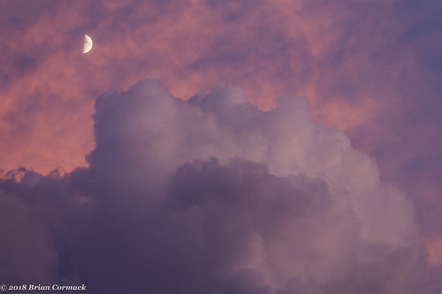
Oh well, at least the views are still pristine. Some clouds drifted in front of the sun and obscured most of the sunset, but the clouds were still pretty neat.

IMG_0055-2

After sunset there were some splashes of color in the sky, along with the moon rising above the horizon. We stayed out there on the bluff shooting pictures and then hiked back the gloaming, but we did manage to get to the car before it got too dark to see.

IMG_0097-2

Monday, August 27, 2018

Leslie

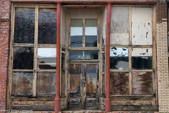
Along Hwy. 65 in the Ozark Mountains is the small town of Leslie, which was settled sometime in the 1850s. The town became prosperous in the early 1900s thanks to the railroad and timber industry, and Leslie still has a good number of old historic buildings that were built in that time period. This is a shot of one of those buildings, which looks like it's been closed for awhile. This was taken while driving up north into the Ozarks a few weeks ago.

IMG_9864-2

The town was originally called Wiley's Cove, but the name was changed to Leslie in 1887. It is believed that the town was named after a prominent merchant, and sadly not named after the most prominent Leslie of all time - Leslie Nielsen (or Leslie Knope).

Friday, August 24, 2018

Thanks Little Rock Garden Club

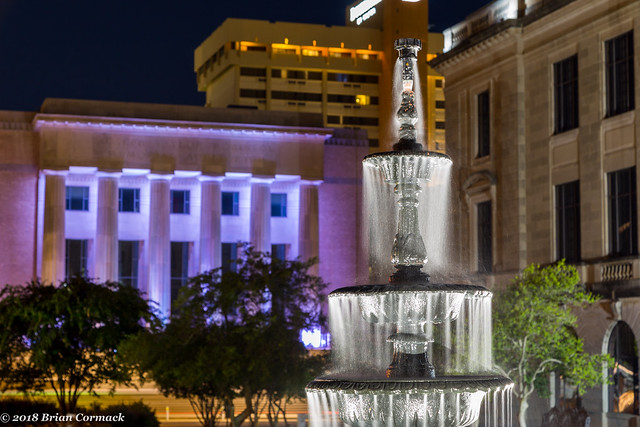
In a small park that is squeezed in between Broadway and the Pulaski County Courthouse is this fountain, which was installed in 1956 by the Little Rock Garden Club. This is a neat old fountain, although not as cool as the dog fountain in Toronto that I saw a few months ago.

IMG_9747-2

Wednesday, August 22, 2018

MacArthur Park

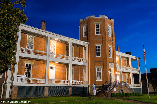
In the middle of MacArthur Park is one of the oldest buildings in Little Rock - the old Arsenal Building, which was built way back in 1840. The building was part of a military installation that was placed at what was then the outskirts of the city. The Arsenal Building was actually constructed to store ammunition, and it has exterior walls that are three feet thick.

The military ceased using the building in 1892, and it was taken over by the city of Little Rock. In 1942, the building became a museum which would end up showcasing a random and eclectic mix of exhibits. I remember the museum being one of the most popular destinations for school field trips during the 1980s (back in the olden days when I was wee young lad). Probably the most popular artifacts there were a motley collection of shrunken heads, which all the school kids thought was really cool.

In 1997, the museum moved to the River Market and became the Museum of Discovery. The old Arsenal Building then switched gears and became a museum of Arkansas military history. Unfortunately there's no telling where the shrunken heads are now.

IMG_9732-2