Saturday, November 28, 2015

Page and Horseshoe Bend

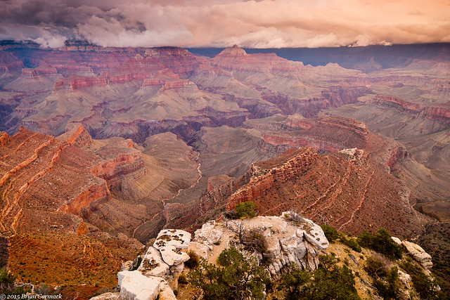
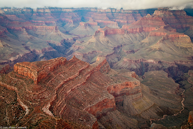
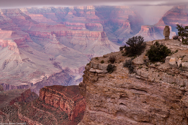
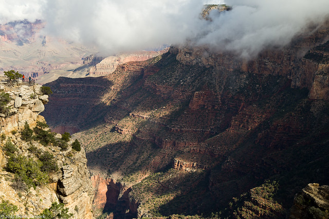
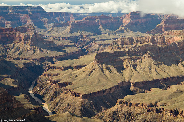
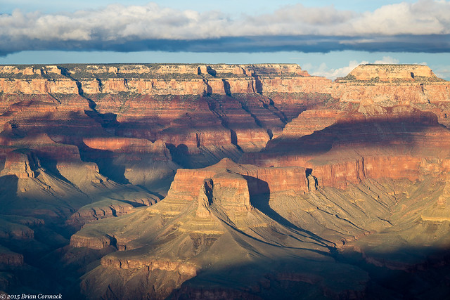
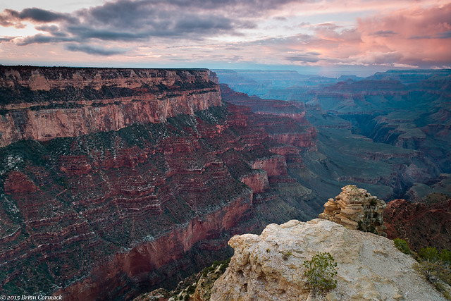
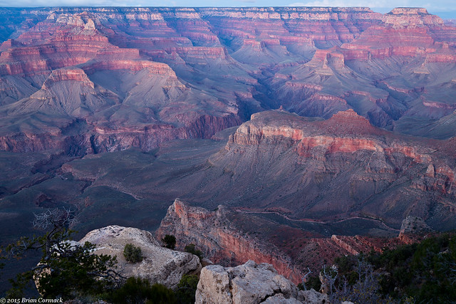
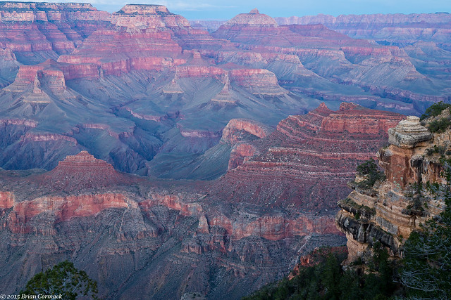
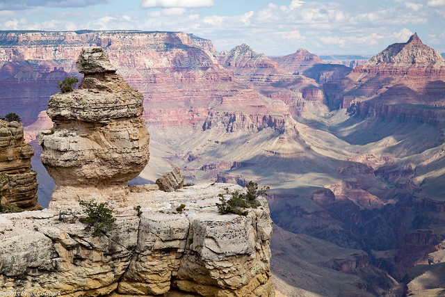
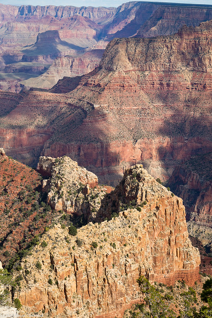
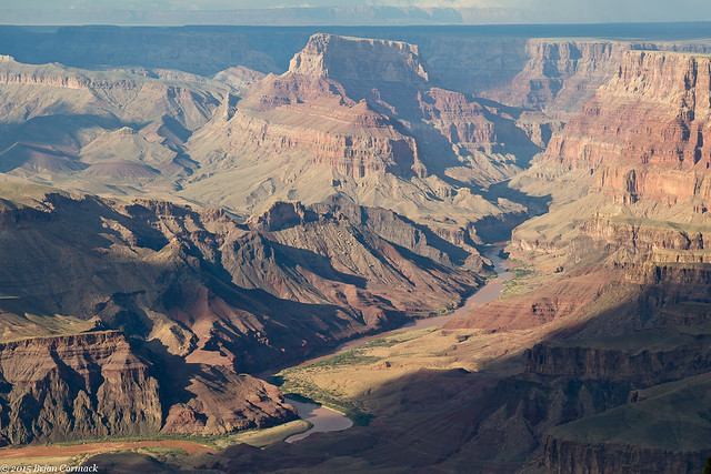
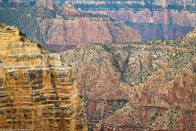
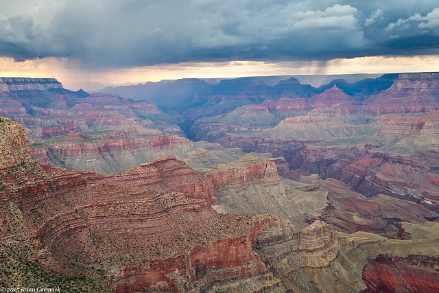
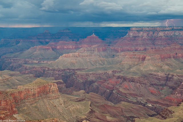
The next day we needed to drive to Page, Arizona. And I can honestly say that it was one of the prettiest drives I've ever done. Of course it helped incredibly that the quickest way from our hotel to Page required a drive through the Grand Canyon National Park. So we again drove back into the park (thankful that the $30 entrance fee is good for several days), and headed out along the Desert View drive. It was impossible to resist stopping at the overlooks again as we made our way through the park. This is the overlook with the Duck On A Rock.

IMG_8812-2

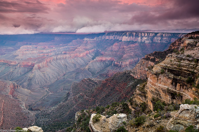
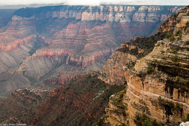
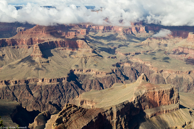
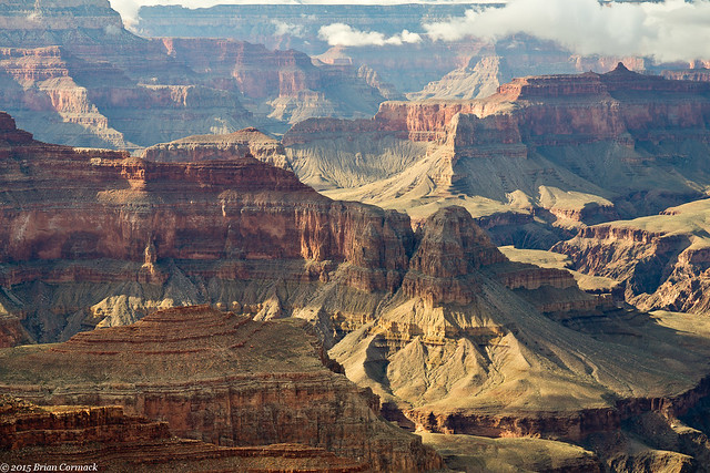
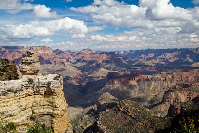
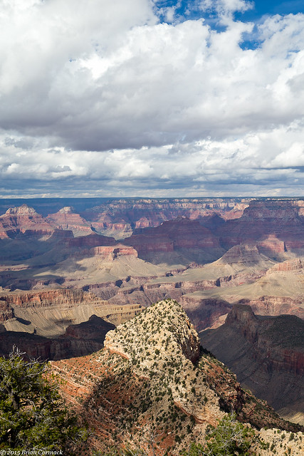
And at another overlook. The bright sun was a little too harsh for pictures, but some big fluffy clouds drifted along the opposite Canyon rim.
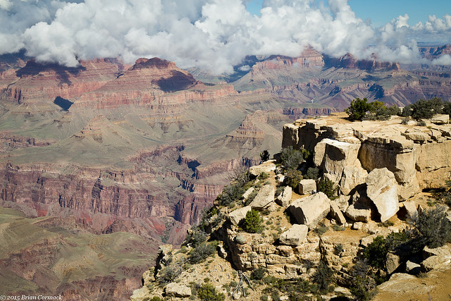
IMG_8830-2

We eventually left the park and headed east on Hwy. 64, which would actually run alongside a deep canyon carved by the Little Colorado River. It was incredibly scenic, but wasn't developed as a park. It wasn't as tall as the Grand Canyon, but was still pretty. If that canyon was in any other state, it would be a popular state or national park. But because it sits right outside of the Grand Canyon, it's overlooked.

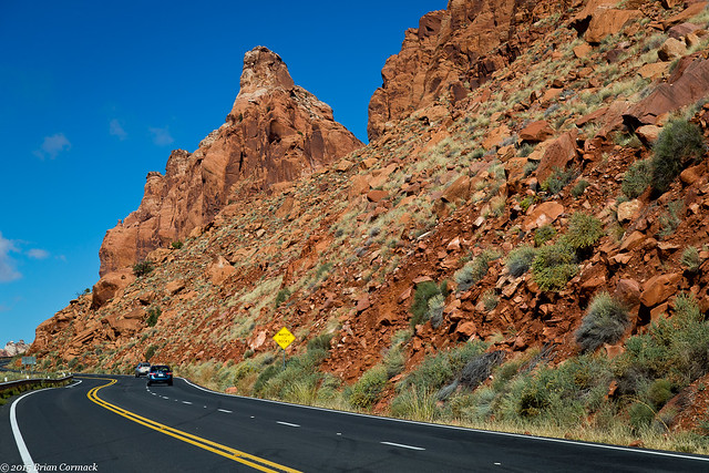
We turned onto Hwy. 89 and headed north, towards Page. This road also passes by mountains and buttes, and was really scenic. When we planned this trip, we had no idea that this drive would be so pretty.
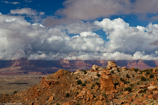
IMG_8856-2

IMG_8861-2

At one point the road headed up a steep mountain and then passed through this deep cut in the rock.
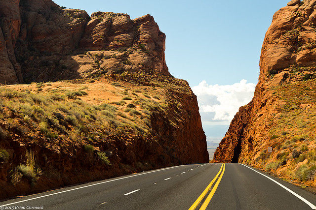
IMG_8870-2

After arriving in Page, we checked into the hotel. I headed out to visit Horseshoe Bend (Caroline opted not to, being pregnant and all). Horseshoe Bend is a popular and oft-photographed spot along the Colorado River. It's located just outside of Page, so I was able to quickly drive there (after a quick stop to buy more memory cards, I had gone through all of my memory cards already). The parking lot was full, with all sorts of people heading to the bend.

The trail to Horseshoe Bend is about a mile and a half, and goes up and down a hill (which isn't fun when you're not used to the elevation). The overlook was crowded, with a few photographers and tripods perched on the edge. And also with a bunch of people trying to take selfies with the river in the background. Like at the Grand Canyon, many of the people there appeared to be foreign, with several different languages being spoken by the crowd. I even heard a woman actually say, in French, "ohh la la!" I had several people ask me to take their picture, but it appeared that the one word that broke through the language barrier and that was universally spoken was "selfie."

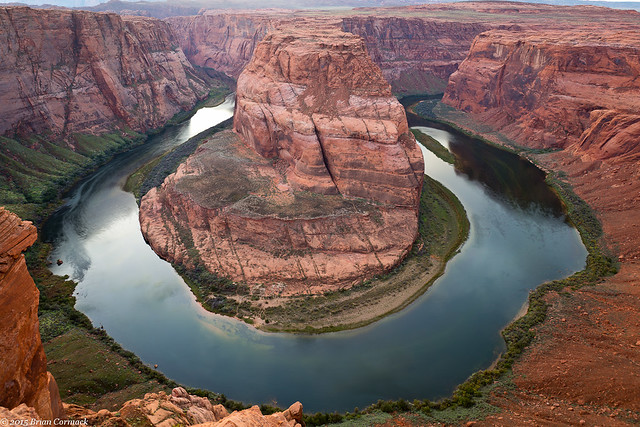
I found a spot, and set up my camera and tripod. I've seen thousands of pictures of this view, and they did not prepare me for the sheer scale of this view. It is huge, and you really need a wide angle lens to get it all in (thanks to my friend John for letting me borrow his!). The river is 1000 feet below, and there is no guard rail.

A storm moved through in the distance, dropping some rain and partially hiding the sunset.
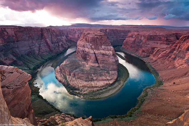
Horseshoe Bend

I stayed until it was starting to get dark, and got a shot of Horseshoe Bend when all the light was a bit more even.
IMG_9067-2

I headed back when it was nearly dark, and drove back to the hotel. But we'd be getting up early in the morning to visit another classic photography location in Page....

Tuesday, November 24, 2015

Grand Canyon - Shoshone Point

The Grand Canyon is a very popular national park, and it can sometimes feel a bit crowded. While the crowds weren't nearly as bad as in the summer, there were still times when we had to dodge large groups of tourists at some of the shuttle stops and overlooks. But luckily there is one overlook that is not marked, and not very well known. The Park uses it for weddings and special events, but when there isn't anything going on it is open to the public. But the parking area isn't marked, so many people drive right past it.

It is called Shoshone Point, and it's on the South Rim near Yaki Point. I drove out there before sunset, and started on the mile hike to the overlook. When I reached the edge of the Canyon, there wasn't anyone else there. The only sound was the wind and a few birds.

IMG_8704-4

As the sun began to set, the sky erupted in color. The low clouds that had been hanging onto the distant rim all day changed from white to blue to gray to orange. It was hard to know which direction to point the camera at.

IMG_8730-4

IMG_8745-4

In the foreground is Newton Butte, with clouds hugging the top of the canyon in the background.

IMG_8759-4

Two other hikers came in, and sat and enjoyed the view as well. We were the only ones out there, which is a small number of people to be sharing such a wide and vast view.

IMG_8763-3

The two other hikers left as it started to get dark, but I lingered there as long as I could trying to get a few pictures. This is one of the last shots, with a solitary hoodoo standing up on the point. Low clouds (and maybe rain?) lingered along the top of the canyon wall.

IMG_8790-4

It was nearly dark when I started the mile hike back to the parking area. Luckily I had thought ahead and packed a flashlight, which came in handy since it got dark very quickly. Within a few minutes I found the two other hikers, who were walking in the dark. They said they didn't think the hike would be that long and that they didn't know they would need a flashlight. So I walked with them so that neither of us would end up getting lost in the dark and walking off of the edge of the Canyon.

We made it safely back to our cars, and I headed over to pick up Caroline (who decided that hiking in the dark while pregnant might not be that great. She instead patiently waited for me in one of the park lodges). We were at the end of our time at the Grand Canyon, but we would soon be visiting a few other neat places in Arizona...

Monday, November 23, 2015

Grand Canyon - Hermit Road

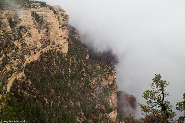
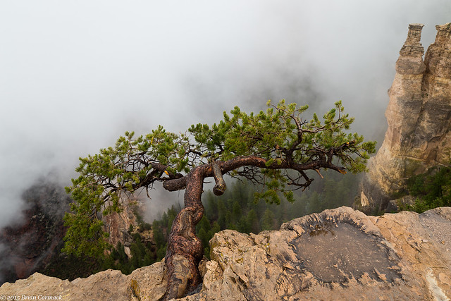
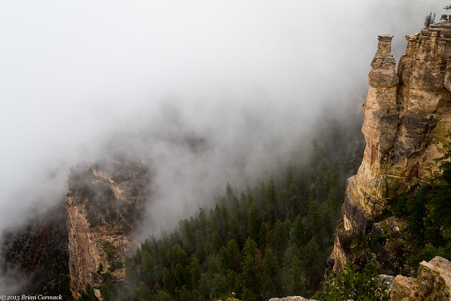
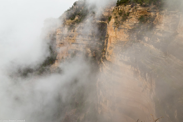
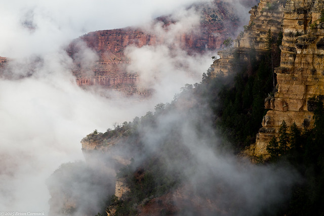
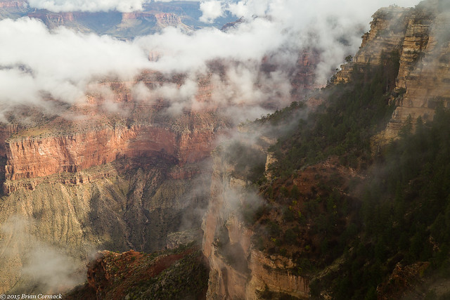
It was cold and foggy the next morning when we drove back into the National Park.  It was 46 degrees, and the fog was so thick that it covered any view from the overlooks along the Rim. 

IMG_8097-2

The fog was so thick that it would crash into the canyon wall and then run up and over it like a river.

IMG_8120-2

IMG_8138-2

Since we couldn't see much of the view, we headed to the Yavapai Observation Station at Yavapai Point. There is a museum there that covers the geology and history of the Canyon that we thought we'd check out until the fog cleared. But we were only in there for a few minutes because we could see the fog starting to break. We hurried to an overlook just as the fog lifted.

IMG_8195-2

Clearing Fog at the Grand Canyon

It was like a spotlight shining through the fog. The fog would dissolve away, leaving a hole that briefly provided a window to the canyon behind it. The hole would move and change, swirling and growing as the fog started to fade away.

Clearing Fog at the Grand Canyon

IMG_8192-2

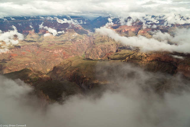
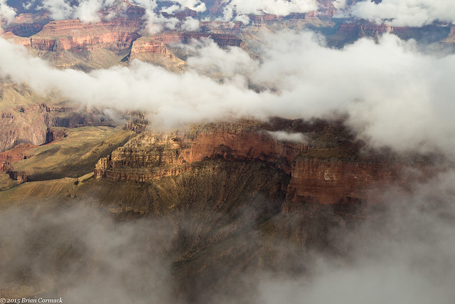
As the sun finally broke through, the fog stubbornly clung to the sides and edges of the canyon.

IMG_8248-2

IMG_8308-2

The overlook provided a wide panoramic view of the Canyon and the Colorado River, barely visible as it ran through the deep walls of the inner Canyon.

IMG_8355-2

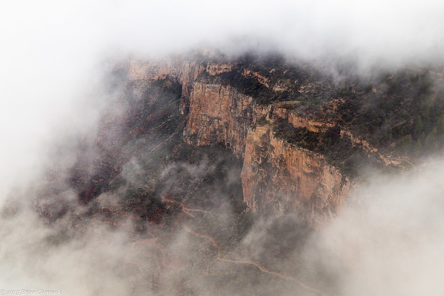
After that we hopped on another shuttle bus that would take us along the Hermit Road. This section of the canyon was at a different elevation than the Yavapai Overlook, and it was still covered in fog. On the first shuttle stop, at the Trailview Overlook, thick fog again covered up the view. We were the only ones who got off the bus, and again we got there just in time to see the fog start to clear. Here is the fog lifting, revealing the canyon wall and the zigzagging path of the Bright Angel Trail.

IMG_8383-3

Within a few minutes, most of the fog had been cleared away.

IMG_8409-2

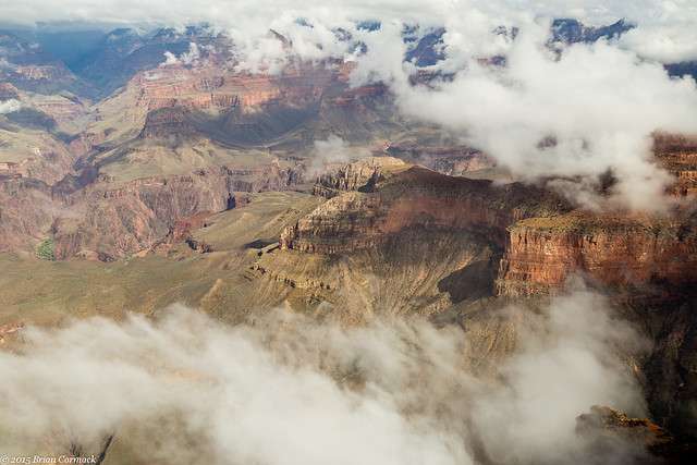
We hopped back on the bus and stopped at all of other overlooks along the road (at least the ones that were open). The fog had all been cleared out, with just some low clouds hanging around the top of the canyon on the North Rim.

IMG_8457-2

IMG_8575-3

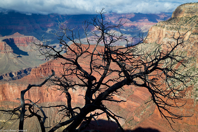
At the Maricopa Point overlook, I found this view. There was a dead tree that provided a neat silhouette against the Canyon.

Grand Canyon

The full sunlight was a little harsh in the canyon, creating some deep shadows that didn't translate well in the pictures. But we still went to each stop along the way, taking pictures and enjoying the view. Even if the pictures didn't all turn out, the view was still amazing.

IMG_8593-3

IMG_8656-5

We finally made it to Hermit's Rest, which was the last stop before the shuttle bus returned to Grand Canyon Village. We headed back, and then had time to make it to another great overlook in time for sunset....
Sunday, November 22, 2015

Bearizona and Yaki Point Sunset

The next morning we took a little side trip south to the town of Williams and visited Bearizona.  Besides having a very good pun-based name, Bearizona is a drive-through wilderness park that is home to wolves, sheep, mountain goats, burros, bison and of course, bears.  It was raining a little when we drove down to Williams, but the animals were out and about.  The drive passes by all the other animals (which kinda reminded me of the first Jurassic Park), and then finally enters the bear section. 
IMG_7734-3

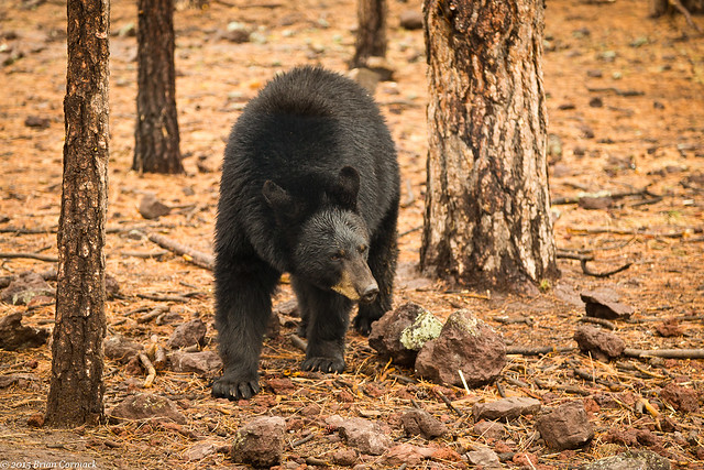
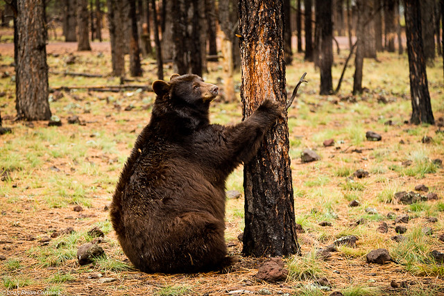
I was actually a bit surprised at how close you can get to the bears, they walked by our car and crossed the road in front of us. We did, of course, have the windows rolled up and the doors locked! They didn't seem to mind or notice the cars slowly driving by them.

IMG_7826-2

After getting lunch in Williams and visiting a local brewery (The Grand Canyon Brewery Co. - highly recommended!), we headed back up to the Grand Canyon. There would be time to catch the sunset, so I decided to visit Yaki Point. The overlook can only be reached by shuttle bus, so I boarded one and rode to the overlook. The view is amazing, of course, like all of the Grand Canyon views.

IMG_7913-2

Clouds obscured most of the sunset, but there was some interesting light shining through.

IMG_7980-4x

After the sunset, I set the camera up to get a few shots while waiting for the shuttle bus to come back around.

IMG_8035-2

IMG_8037-2

I took pictures until it was dark (this shot below was a 30 second exposure), with the camera trying to capture any of last remaining light hitting the canyon. There wasn't anyone left at the overlook, they had all caught the last shuttle bus. I hoped that the shuttle bus wouldn't forget to make the stop here. And that the only bears I would see that day were at Bearizona, and not slowly making their way through the darkness towards the guy taking pictures by himself in the dark.

IMG_8039-2

A bus finally drove up, and when I boarded the driver jokingly said "we took bets on whether we should stop for you or not." Which for someone standing in the dark waiting for a bus isn't the funniest joke. We headed back to the visitor center in the dark, but we would be visiting the Grand Canyon again the next day (more photos coming soon!).

Thursday, November 19, 2015

Grand Canyon - Desert View Drive

The next day we headed back into the park.  The Grand Canyon National Park is huge, containing over a million acres.  There are miles of hiking trails, whitewater rafting on the Colorado River and burro rides down steep trails.  Since one of us was almost 6 months pregnant, we couldn't really do too much rafting.  Luckily there are plenty of overlooks, and it is easy to pass an entire day just driving around and enjoying the view.

We opted to do the Desert View Drive, which runs along the South Rim for about 25 miles. The views, of course, are amazing. There are several overlooks, some with views that peer down deep into the Canyon.

IMG_6754-3

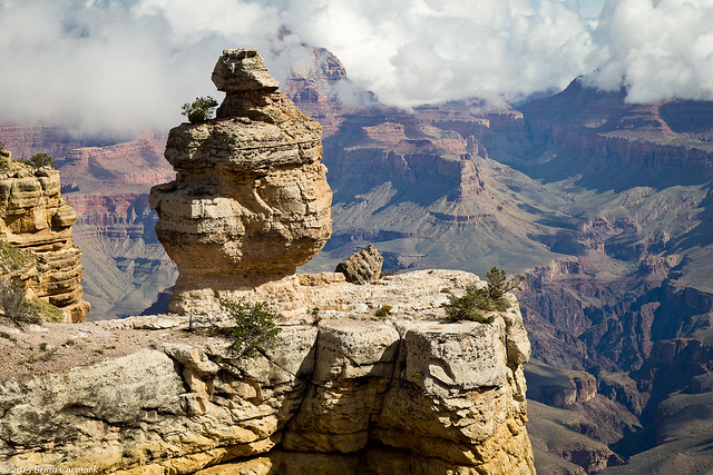
This view features a large rock formation that is appropriately named "Duck on the Rock."

IMG_6774-3

It's hard to convey in photos the gigantic scale of the Grand Canyon. The Canyon itself is 277 miles long, and at some points it is up to 18 miles wide. At it's deepest, the canyon is a mile deep. Nearly five million people visit the Grand Canyon National Park every year, but it was easy to find secluded places with few other people around.

IMG_6863-3

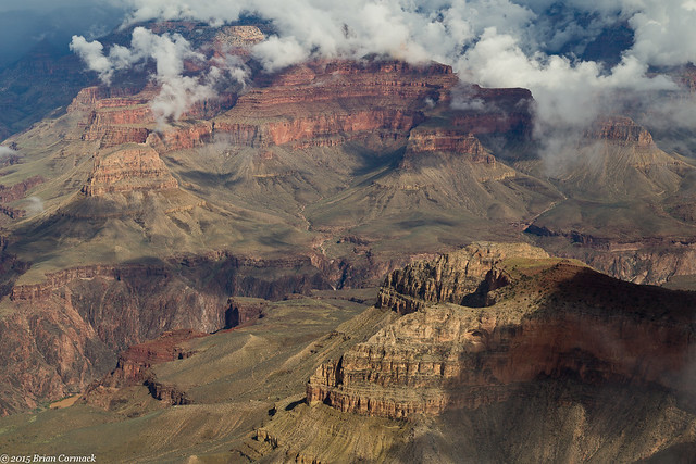
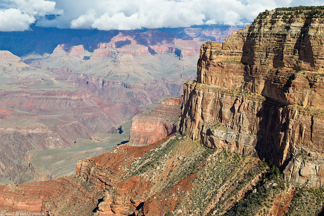
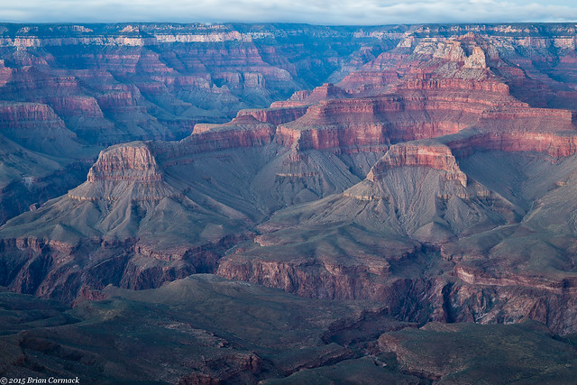
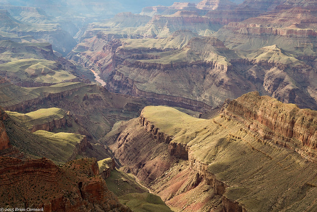
These shots were taken from the Grandview Point Overlook. Like the name suggests, this overlook provides a grand view of the Grand Canyon. The Colorado River is four miles away, and the Canyon is filled with several different ravines, mesas and buttes.

IMG_6884-3

IMG_6919-3

Further down we stopped at Lipan Point, which offered this view. I think this is Seventyfive Mile Creek, flowing past Escalante Point into the Colorado River.

IMG_7166-4

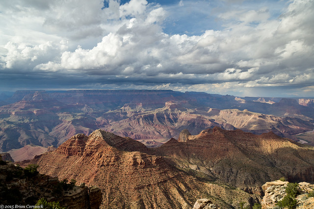
It had been mostly sunny all day, but some thick clouds had built up over the North Rim when we arrived at the Desert View overlook.

IMG_7223-3

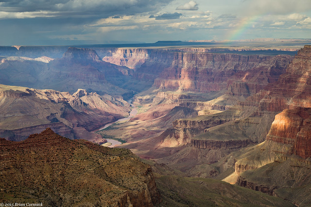
Desert View is the last overlook in the park, the National Park boundary is just a few miles away. From here you can easily see the flat lands of the Painted Desert in the distance. We went to take some pictures, just as a small rainbow appeared over the edge of the Canyon.

IMG_7196-4

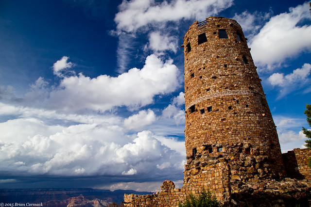
The overlook is also home to the Desert View Watchtower, which was built in 1932 and provides a view four stories above the rim of the Canyon. The tower was designed to resemble an old watchtower built by the Ancient Pueblo Peoples. The inside features petroglyph-style paintings on the walls of the circular stairs that lead to the top. Here's a view of the outside of the tower, with a big storm dumping rain on the North Rim.

Desert View

And one last shot from Desert View, with the Colorado River running through the Canyon. It had been quite rainy in Arizona before our trip, and the river was looking a little muddy.

IMG_7325-3

Our plan was to watch the sunset that night from the edge of the Canyon, returning to the overlook that we both agreed had the best view. Of all the stops, we liked Moran Point the best. The point is named after Thomas Moran, an artist who first visited the Grand Canyon in 1873. His paintings helped to popularize the Canyon, helping with it being preserved as a National Monument in 1908.

IMG_7413-3

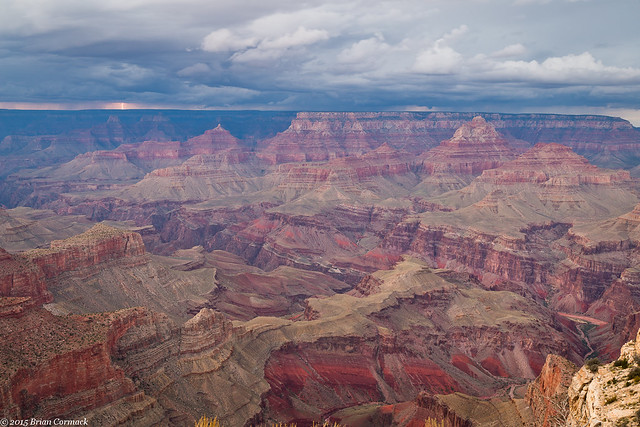
The overlook at Moran Point has a wide panoramic view, but we didn't get much of a sunset that night. A storm moved through, bring with it some waves of heavy rain.

IMG_7487-4

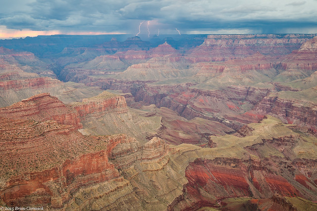
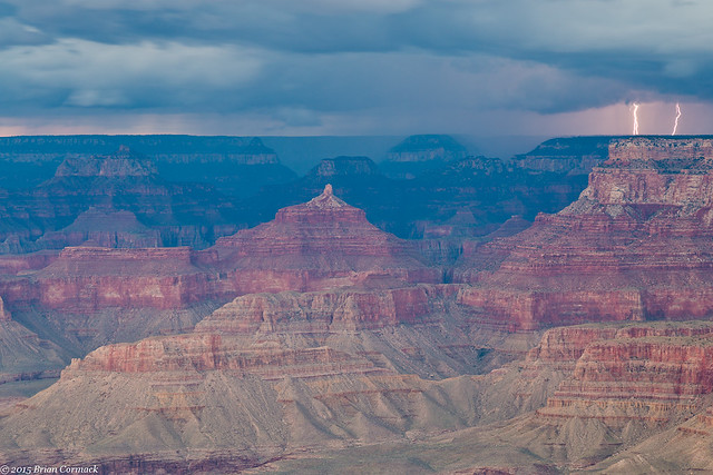
And with the rain, the storm also brought with it lightning. Bolts began to drop down, striking the North Rim (which is about eight miles away).

IMG_7559-4

I desperately tried to get the camera set up and focused correctly, hoping that I didn't miss all of the lightning while I was trying to get the controls right. But the lightning actually worked with me for once, and dropped a few bolts at the same time I was taking pictures.

IMG_7574-9

IMG_7591-3

We stayed out there until it got too dark to take pictures, and then headed to a restaurant in the park to get dinner (this is again when I'm thankful to have a very loving and patient wife who was ok with sitting at an overlook for awhile watching a storm while also being nearly six months pregnant.

IMG_7606-5

It is rare that you can stand around and take pictures of lightning and not get rained on. While we were ok at Moran Point, the nasty weather would catch up with us. We finished dinner and started to drive out of the park, just as a huge storm hit. Lightning was close and nasty, and it started to hail. The hail was big, and it was pounding my poor car. The road soon became covered with hail, and it was slick enough that my car's traction control automatically switched on. It was bad enough in the car, but I really felt sorry for anyone who may have been camping nearby. But the storm slacked off, and we made it back to the hotel with numerous dents and dings in the car as a souvenir of the day.