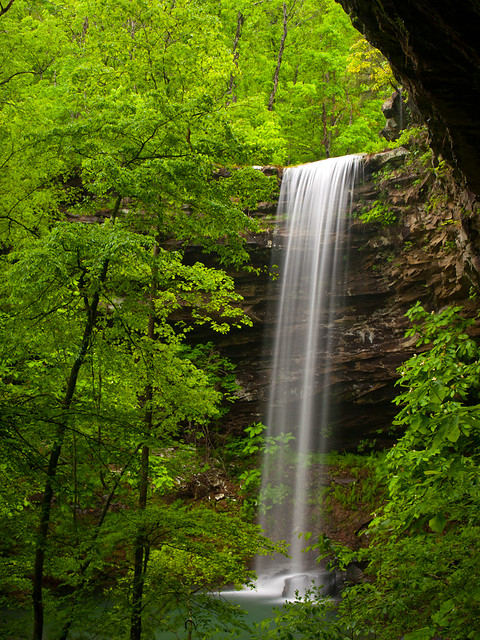
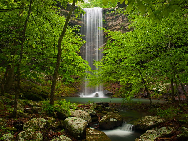
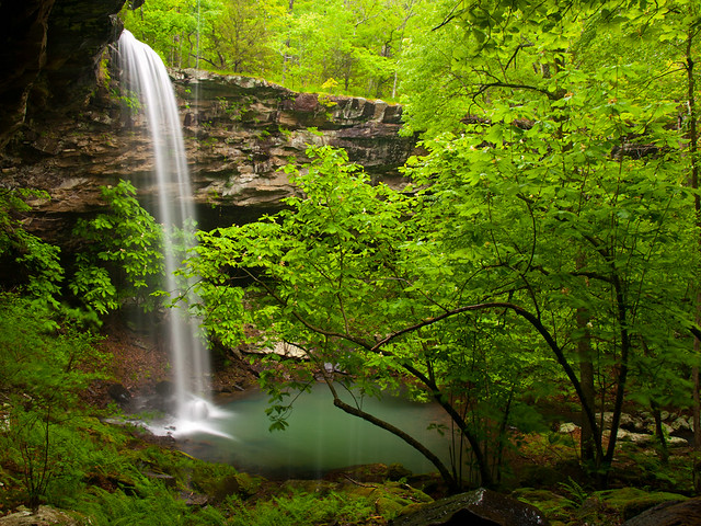
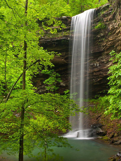
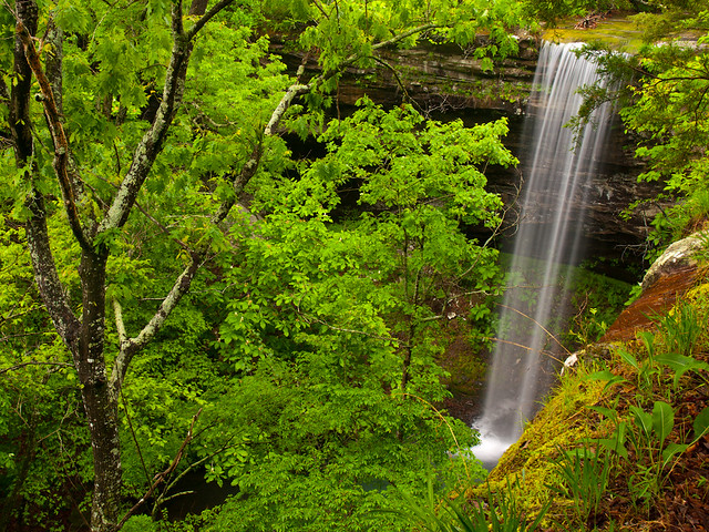
Tuesday, June 24, 2014

Buffalo River

I thought it would be a memorable visit to the Buffalo River, even before we got a flat tire. The plan was to head up there for a float trip, trying to catch the river with enough water before the heat and humidity of the summer set in.  But it had been rainy the week before, and the river was running well above average for this time of the year.  So we booked a place to stay, and reserved some canoes.  I was happy to head up to the Buffalo, one of my favorite places in the state, to spend the weekend with friends and family.

Along the drive up there, a tire found a piece of glass in the road. So while we were cruising along Hwy. 74 between Jasper and Boxley, the low tire pressure warning came on. And then came the unpleasant rumble of a flat tire. Great!

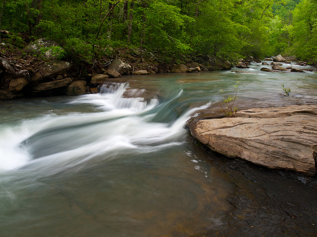
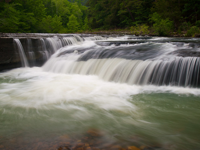
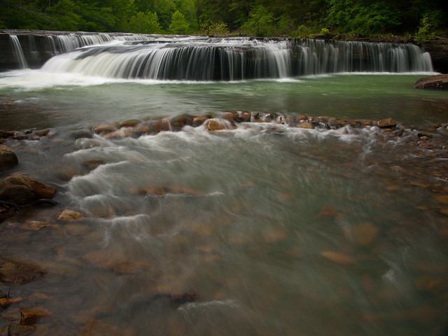
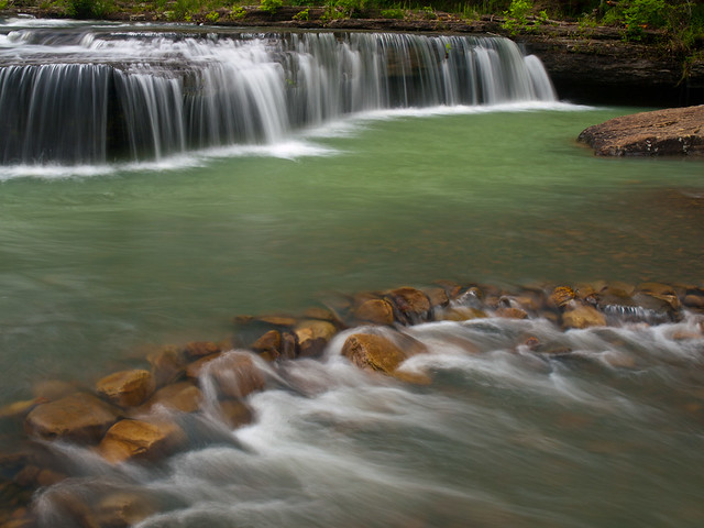
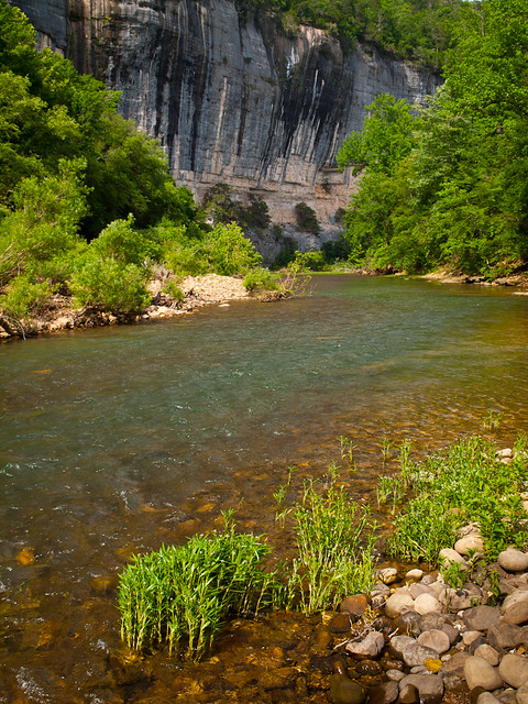
After getting the tire changed, we did finally get a chance to visit the river. This is the Buffalo near the campground at Steele Creek. There was a good amount of water here, which you typically don't see this late in June.
P6140809-2

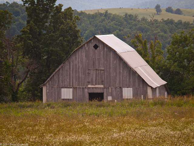
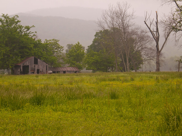
And an old barn, south of Jasper:

Ozarks

While eating breakfast at the Ozark Cafe the next morning, it started to pour down rain. This was a little worrying, since we were about to start our float on the river. But I checked the radar, which predicted that the rain was to be quickly moving off to the north. No worries!

When I reserved the canoes, I was wanting us to do a "family-friendly" stretch of the river. One that was easy and relaxing, where you could sit back and not worry too much. The outfitter advertised the float from Pruitt to Hasty, which fit that bill. But when we got there, they informed us that they weren't doing the run to Hasty. They were instead only going from Steele Creek to Kyle's Landing. Which as we would find out, isn't quite as family-friendly as we were thinking.

I've floated the Buffalo River several times before, so I thought I knew how to handle a canoe. But this trip was a wee bit beyond my skill level (I've mostly floated the lower parts of the river in the summer, when the most dangerous aspect of the trip is spilling your beer or getting a sunburn). But we put in the canoe at Steele Creek, and within the span of a few minutes hit a rock and flipped over.

The Buffalo River Handbook, by Ken Smith, described this part of the float as having "rock-studded, canoe-wrecking rapids." We didn't manage to wrap the canoe there, but did have to scramble to get the paddles and life jackets, which had floated away down the river. But that was just the start. One part of the float is described where "the river goes rollicking down one of the longest, fastest rapids of the Buffalo - several hundred yards of open, racing water, swinging to the left, with standing waves."

There is one spot, called Blue Rock Hole, with "three giant boulders on the left. The river exits through a rock-studded slot." This, I think, is the spot where we managed to get our canoe wedged sideways on the rocks, with the full current of the river pushing against and under the canoe. We managed to get free, but went through the slot backwards. How we managed to not tip over here is a miracle.

And then there is the "Buffalo River's premier rapids," which have the charming name of Hell's Half Acre. Ken says this spot is "three more or less distinct sets of ledges in about 500 feet of water - shallow rock to hang up on, big waves to be swamped by. With adequate water the skilled - or the lucky - make it through unscathed." We just played it safe and carried the canoe past this spot.

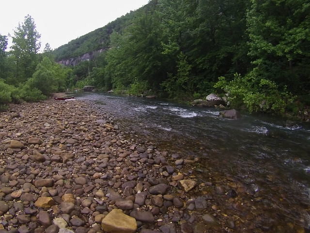
The total float was eight miles, and the first part was done in the rain. I had never been more happy to see dry land when we finally made it to Kyle's Landing. We only flipped twice, but ended up sore and bruised. It is an unbelievably scenic stretch of the river, passing under massive bluffs. I brought a waterproof camera but didn't get many chances to use it, since I was more worried about crashing the canoe. This was taken right after we flipped the canoe for the first time, at Steele Creek:
GOPR0133

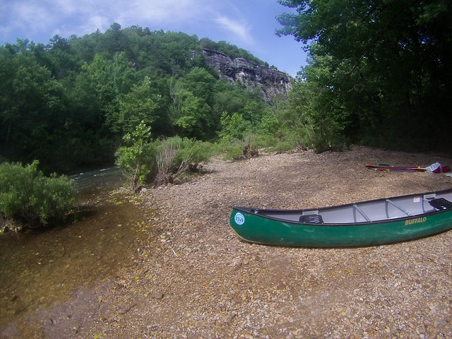
And a shot from the end, at Kyle's Landing. I had never been more happy to see dry land:
GOPR0138

And when the float was finished, the second part of our journey began. That would be the 70 mile drive from Jasper to Russellville along Hwy. 7, on a donut spare. Which even though I had to drive slow (much to the annoyance of everyone behind me ), we did make it there in decent time and got a new tire. So all things considered, it was a memorable trip. Can't wait to do it again (on a slow and easy part of the river, with no rapids or rocks).

Sunday, June 8, 2014

San José del Cabo

During the last week of May, my wife and I took a little trip down to Mexico. We found a good deal for a resort on Groupon, at an all-inclusive resort right on the ocean in the city of San José del Cabo. So we headed to the airport, looking forward to a week away. Our flight had us going to Dallas, then going onto the connecting flight to San José del Cabo. We went through the security line at the Little Rock airport in record time, I don't think there was even anyone else in line ahead of us. We soon boarded the plane, eagerly looking forward to landing in Mexico in a few hours time.

But Mother Nature and American Airlines had other plans for us. A storm was perched over Dallas, which shut down all of DFW Airport for a few hours. They let us walk back into the terminal after sitting on the plane for awhile, and there we waited until the storm moved past Dallas. When it finally did, and the airport reopened, our flight was delayed about three hours. Our connecting flight left on time, however. Which meant we got to spend the first night of our vacation in a romantic and lovely hotel just outside of the DFW airport.

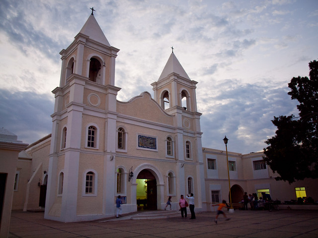
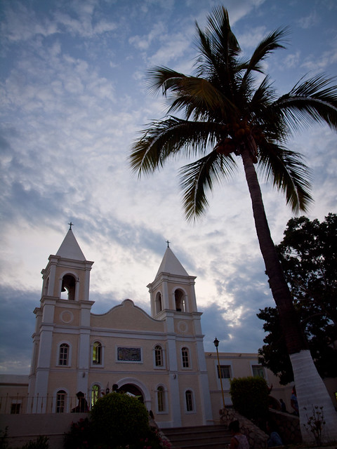
We had a flight early the next morning, and finally landed at the San José del Cabo airport around Noon. It was annoying to lose a day of our vacation, but nice to finally get there. The city of San José del Cabo is located right on the very bottom of the Baja Peninsula, and has a population of around 70,000. We headed out to explore the city one night, when it was their weekly "Art Night." In the heart of San José del Cabo is an Arts District, surrounding the old Catholic Church, or the Misión de San José del Cabo Anuiti.

P5290064-2

The city of San José del Cabo was founded way back in 1730, but it served as an important port for the Spanish Navy long before then (there was a lot of pirates in the waters). The city was founded by the Spanish because they thought they needed a permanent city there to help quell the pirate raids. So some Jesuit Missionaries came in and founded the city, and built some of the old colonial architecture that still stands there.

P5290106

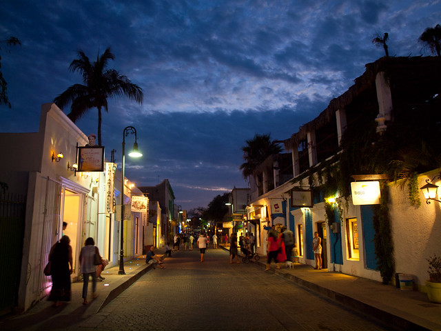
And another shot from one of the streets near the old church, in the Arts District. I wished that I had my tripod with me when I saw the sky.

P5290198-2

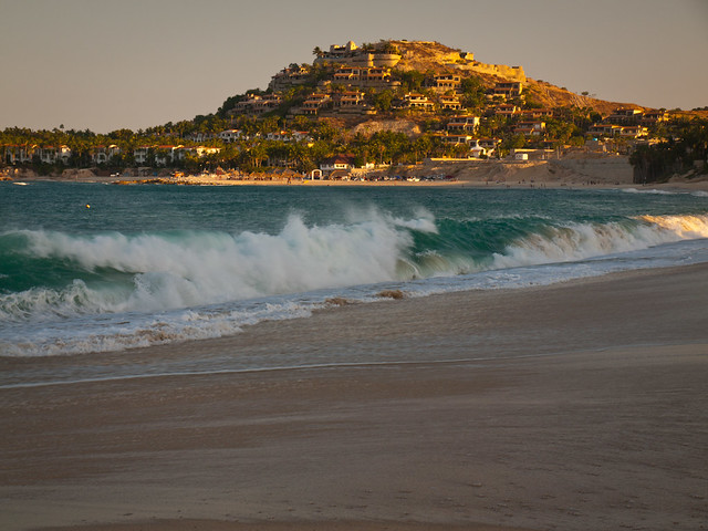
The beaches around San José del Cabo are rough, and swimming is highly discouraged due to "rogue waves" and riptides. But there are a few places where you can safely swim, one of those being a beach called Playa Palmilla. The surf is calm enough there to get out into the water, which I tentatively did for someone who isn't used to the ocean. This is the view of the beach, with what I assume are some extravagantly expensive homes sitting on the hill over the water.

P5300248

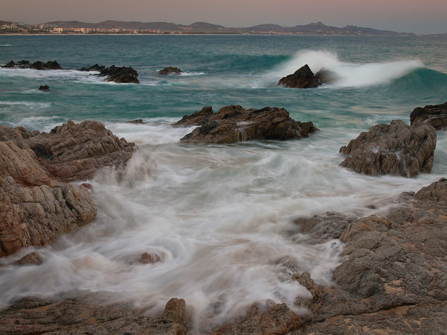
We walked further down the beach to a spot where some rocks were sitting defiantly in the constant waves. I did have the tripod with me this time, and I tried to take a few pictures as the waves crashed and swirled in between the rocks along the shore.

P5300589-4

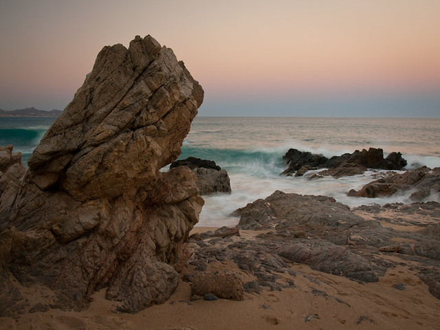
This was a neat area, and was surprisingly empty considering this was such a touristy area.

P5300618-2

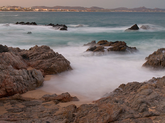
And one last shot from the beach, a four second exposure of the waves crashing into the rocks.

P5300673-3

Tuesday, May 27, 2014

Haw Creek

After lunch at the Ozark Cafe (I had the chicken fried chicken sandwich, and it was awesome), we headed south towards home. But we had time to hit another waterfall, and decided to visit Haw Creek.

P5179877

Haw Creek Falls are right by an Ozark National Forest campground, and to get there you do have to drive across the creek. It's a sort of low water bridge, and I hoped the creek would help to wash off some of the mud and dirt that had amassed on my car. We parked and made the very short walk to the falls, which actually had a good amount of water flowing through.

P5179886-2

The falls are only 6 feet tall, but they stretch across the creek.

P5179908-2

P5179954

From there we headed back towards home, and got into Little Rock around 9 or so that night. It was a productive day for waterfalls. There has been a pretty bad drought here the past few years, and there hasn't been a very long waterfall season. So it was nice to be able to take a few pictures of this one, while it lasts.

Monday, May 26, 2014

Triple Falls

After hiking over four miles to get to Bowers Hollow Falls, we finally made it back to the car. The weather was still perfect for photos, and we wanted to find a few other waterfalls nearby to take pictures of. ButAnd since we had just finished one hike, it would be nice if the next hike was easy. So we decided to drive through Boxley Valley and then hit Triple Falls, which are all within the Buffalo National River.

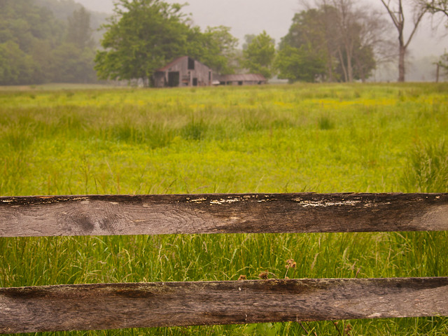
Fog shrouded the tops of the hills that surround Boxley Valley. It is an amazing place, filled with old barns and homes that are over a century old.

P5179759-2

P5179758

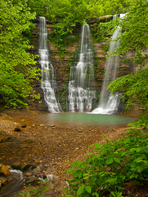
We then headed out to Triple Falls, which is located in a Boy Scout camp along the river. The falls are one of the easiest waterfalls to hike to in the state (although the dirt road in can be a bit bumpy). It's a short stroll to the falls, which was ridiculously easy after Bowers Hollow that morning (and Indian Creek a few weeks back). The falls are about fifty feet tall.

P5179840

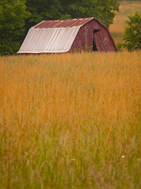
This barn is along the dirt road to the falls, and looks like it's about to be engulfed by the overgrown field surrounding it.

P5179853

Our next stop was Jasper, for another traditional visit to the Ozark Cafe. Over lunch, we tried to decide where to go next. It was time to start heading back towards Little Rock, but there were a few places that we could hit along the way...

Saturday, May 24, 2014

Bowers Hollow

So from Longpool, Zack and I headed north towards the Buffalo River. Our plan was to camp overnight, and then hike into Bowers Hollow in the morning. I had never been to this hollow before, and the conditions looked perfect (cloudy, after days of rain). After several miles of driving down bumpy dirt roads, we finally parked near the trailhead to the falls. But as soon as we parked, it started to rain. It would end up raining all night, stopping just before sunrise.

So we woke up and started the hike. It's about two miles to the falls, but the trail follows an old road trace so it's not too tough of a hike. Eventually you do have to leave the trail and bushwhack down the hill to the top of the falls. And then carefully make your way along the edge until you find a spot where you can safely drop down below the bluff. Because of the last bit of the hike around the falls, this is rated as a "difficult bushwhack." But it is well worth it.

P5179546

It's an amazing area, and one of the prettiest waterfalls in the state.

P5179563

Bowers Hollow Falls

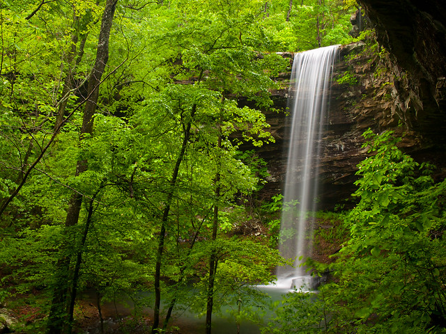
The falls are 56 feet tall, and the creek was surrounded by blooming umbrella magnolia trees.

P5179614

I took a lot of pictures out there...

P5179660

P5179680

We followed the creek for a ways, as it tumbled and flowed past huge boulders.

P5179692

P5179695

P5179704

After that we headed back to the top of the bluff, and got one last view of the falls.

Bowers Hollow Falls