Tuesday, November 22, 2016

Buffalo River

The fall colors this year have been very strange.  October was warm and dry, so the trees decided to wait and postpone changing colors.  So around Halloween, when the fall colors are usually at their peak in the Ozarks, the trees were still mostly green or brown.

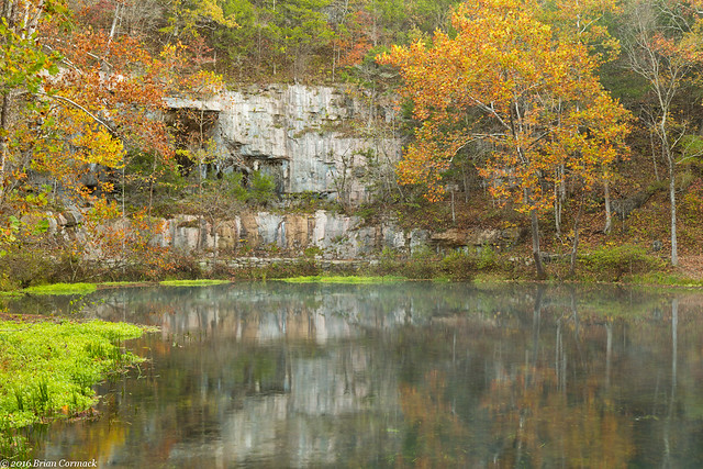
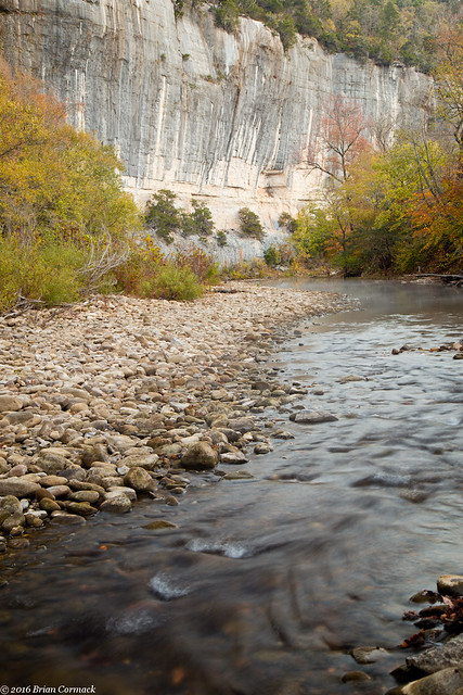
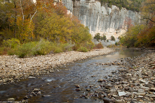
But while the fall colors weren't going to be the best this year, I made the 3 hour drive up to the Buffalo River a few weeks back. I left before dawn, sleepily driving through the dark towards Steele Creek. I arrived just before sunrise, and the river was quiet (except for some deer running around and some early-bird campers getting up). But I was amazed when I headed down to the river and found some good color in the trees growing right along the river.
IMG_5808-3

Maybe being by the water, the trees here had slightly cooler temperatures which caused them to change. The trees on the mountains above the river were mostly brown or had already lost their leaves.
IMG_5816-3

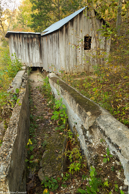
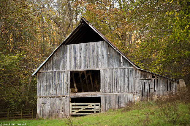
As the sun was rising, I drove over to Boxley Valley. This is one of the prettiest spots in Arkansas, a scenic valley filled with historic homes and barns. The valley's resident elk herd was out in the fields, along with the throng of people perched on the side of the road trying to see the elk. I hurried past and stopped to get pictures of this old barn, which was built in 1915.
IMG_5849-3

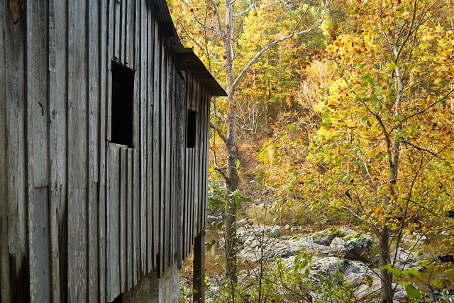
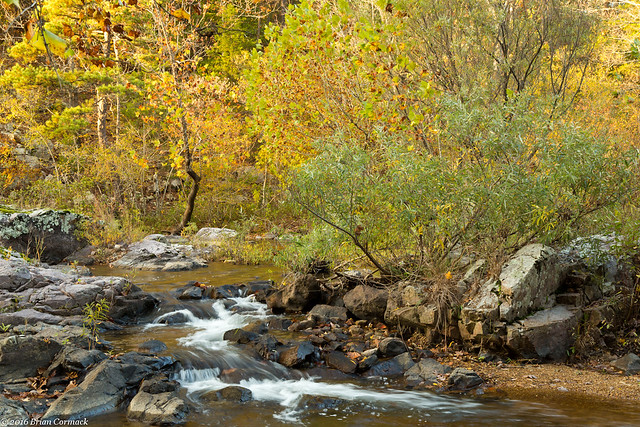
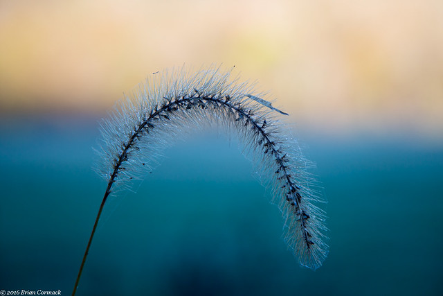
And one last shot, taken behind a barn in Boxley Valley. The mountain in the background was beginning to be lit by the light from the sun, as the rest of the valley woke up.
IMG_5872-2

Wednesday, November 16, 2016

Alley Mill, Missouri

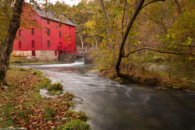
After leaving Klepzig Mill, we drove over to the campground at Alley Mill and set up camp. Early the next morning, before sunrise, we got up and then headed over to Alley Mill. The mill sits right next to Alley Spring, and is considered to be one of the most photographed places in Missouri (the St. Louis Arch is probably the most photographed place in Missouri, but no one was keeping track when we were there).

It is a beautiful spot. The three story mill was built in 1894 and has a commanding presence next to the waters of the spring.

IMG_5283

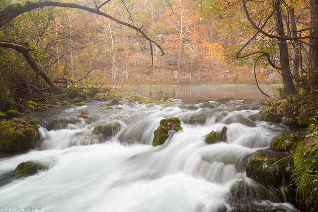
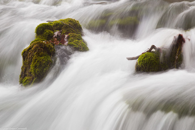
Alley Spring has a daily discharge of 81 million gallons, making it the seventh largest spring in Missouri. The spring gushes out from the base of a bluff, where it rushes past the Mill and then eventually flows into the Jacks Fork River.

IMG_5306-4

IMG_5314-3

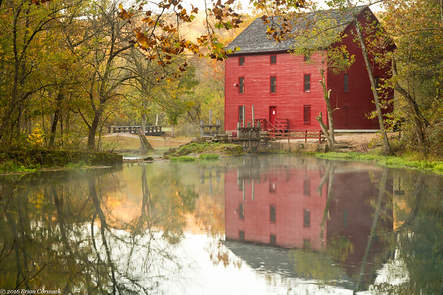
Another view of the Mill, which continued to operate until 1925. That year, the Mill and surrounding property became a State Park. In 1972, Alley Spring was acquired by the National Park Service and became part of the Ozark National Scenic Riverways.

IMG_5335-2

The sun was about to clear the hills, so we took a few more pictures before starting the long four hour drive back to Arkansas. This last shot is of the tall bluff that surrounds the deep blue waters of Alley Spring.

IMG_5341-2

Monday, November 14, 2016

Klepzig Mill, Missouri

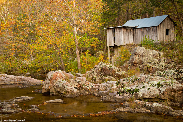
From Blue Spring, we drove off to find another old mill.  After some more driving (things are fairly spread out in the Ozark National Scenic Riverways), we finally headed down the bumpy dirt road that runs by Klepzig Mill.  The mill was built in 1912 by Walter Klepzig, the son of a German immigrant.  According to the National Park Service website, Walter Klepzig was considered to be a "progressive thinker."  He was the "first in the neighborhood to introduce both barbed wire and woven fence wire and a refined breed of milk cow" (how is a cow refined?  Does it hold up its pinky when it drinks tea?).

IMG_5181-2

Klepzig also apparently "routinely saved 'good boards' for use in building coffins for his neighbors," which is an odd little note to mention on the NPS website. It was probably a well-intentioned thing to do in the rough and tumble Ozarks in the early 1900s, but it's also a little creepy. "Hey Steve, nice to see you! By the way, got some great wood for your coffin. Have a nice day!"

IMG_5190-2

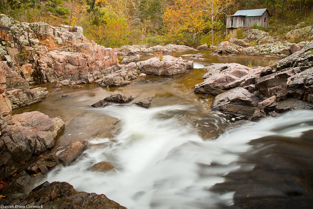
The mill was certainly built in a very scenic location, overlooking Rocky Creek. The creek lives up to its name, as it is filled with huge boulders and waterfalls. This is the creek as it rushes under the mill.

IMG_5194-2

Klepzig Mill was used as a both a sawmill and as a mill to grind corn. In the 1940s, it was also used to help generate electricity.

IMG_5209-3

And one last shot of the mill, taken while sitting just above a waterfall that was probably about 15 feet tall. The mill overlooks a section of the creek that swirls and drops between huge rocks before calming down a bit past the mill. It was a very scenic spot that was one of our favorite stops on the trip.

IMG_5274-6

We made one more stop after this, and visited what is probably one of the most photographed places in Missouri...

Wednesday, November 9, 2016

Blue Spring, Missouri

From Turners Mill, we headed on towards Blue Spring.  Eventually after some more driving, we headed down the dirt road that runs downhill towards the Spring.

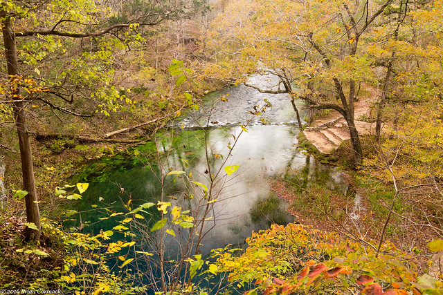
IMG_4997-2

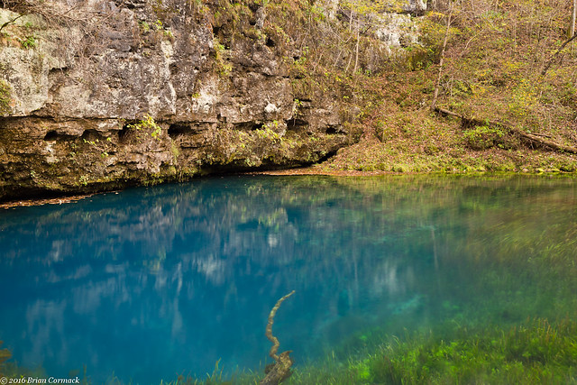
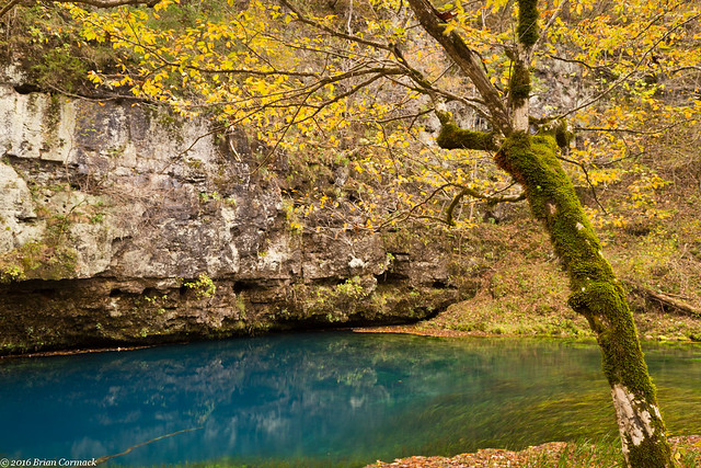
After a short walk, we made it to Blue Spring. The Spring is aptly named, the water here is a deep and vivid shade of blue. The Osage called this the "Spring of the Summer Sky," which is pretty fitting.

IMG_5062-2

The color is due to suspended particles of limestone in the water, and also because of the depth of the Spring. Blue Spring is one of the deepest springs in the country, descending 310 feet. It's deep enough that if you were to walk the Statue of Liberty here all Ghostbusters 2 style and drop her into the spring, she would be completely submerged all the way past the torch.

IMG_5068-3

About 90 million gallons of water flow out from the Spring every day, making it the seventh largest spring in the Ozarks. From here the water creates a stream that then flows into the nearby Current River.

IMG_5076-2

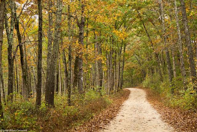
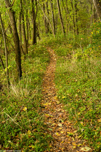
Along the short hike back to the parking area, we walked by this side trail which snaked off into the woods. After that we headed back to the car and then drove on towards a few more springs (there are a bunch of them in this area!).

IMG_5111

Tuesday, November 8, 2016

Turners Mill, Missouri

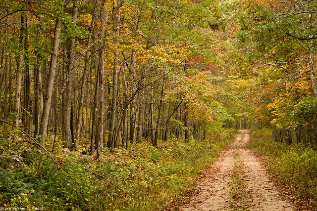
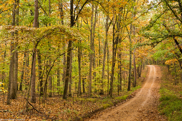
From Big Spring, we headed over towards Turners Mill and Spring. The Spring is actually located in the Mark Twain National Forest, not very far from the Eleven Point River. Along the way, we drove down a few bumpy dirt roads. The fall colors were a little past peak there, but the trees still made for a pretty drive.

IMG_4764-2

IMG_4820-2

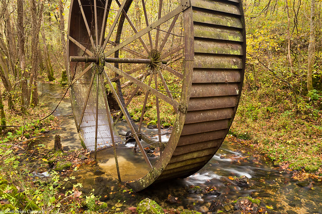
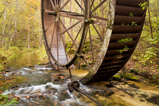
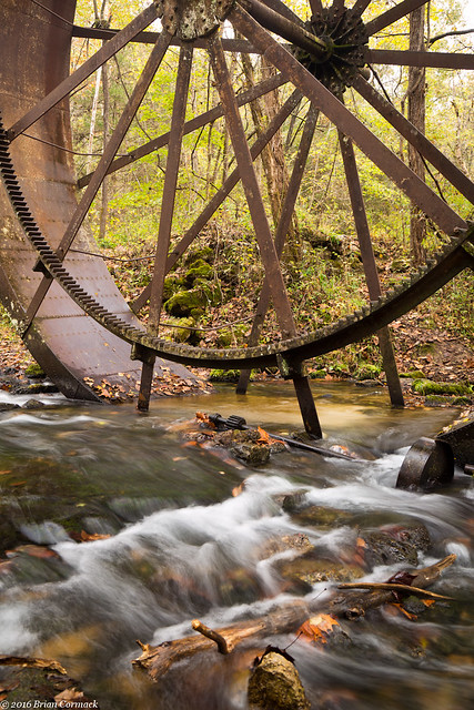
We drove to the parking area, and then made the short walk to Turners Mill. The mill is all but gone now, the only thing remaining is a huge 25 foot tall metal waterwheel. The wheel sits in the creek, as the clear waters from the nearby spring rush past.

IMG_4862-2

Although there is no trace of it now (besides the huge wheel), the mill here used to be four stories tall. From what I could find online, the mill dates back to the 1880s. The metal water wheel was added later, in 1915. The wheel (which must weigh tons) was shipped in pieces, with oxen bringing it to this spot along the creek. The mill supported the small town of Surprise, which is also gone now. The only building left is an old school that sits along a short trail not too far away.

IMG_4878-2

The mill used the waters of Turners Spring, which flows out from a bluff just upstream from the waterwheel. Around 1.5 million gallons of water flow out from the stream every day, flowing down hill and past the waterwheel before emptying into the Eleven Point River.

IMG_4897-2

We then walked back to the car and continued on towards a few more Springs...