Wednesday, May 4, 2016

Nashville

A few weeks ago, we took a quick trip to Nashville. My wife had just started back at her job and she needed to go there for a work trip. I was still off from my job, so we packed the car and headed east into Tennessee with the baby. Since I wasn't working, the baby and I were left with some free time during the day. So on our first day there, I thought I'd take him out to take some pictures with me. There is actually a waterfall about an hour and a half away from Nashville that I've been to twice before, but I haven't yet been able to get a decent picture of it. So I thought I could make the drive with the kid, do the short hike to the falls and take some pictures. And just hope that the baby wouldn't mind the drive or the walk.

But after sitting in the car seat for five hours the day before, the baby was not happy about being stuck in it again. After a few bouts of crying on the drive, we finally made it to the waterfall. But then of course, I saw the large sign in the parking lot that said: "DUE TO EXTENSIVE STRUCTURAL DAMAGE - The metal staircase and trail to the base of the main falls, the main falls overlook and the middle falls overlook are closed to the public. We apologize for the inconvenience." Well crap.

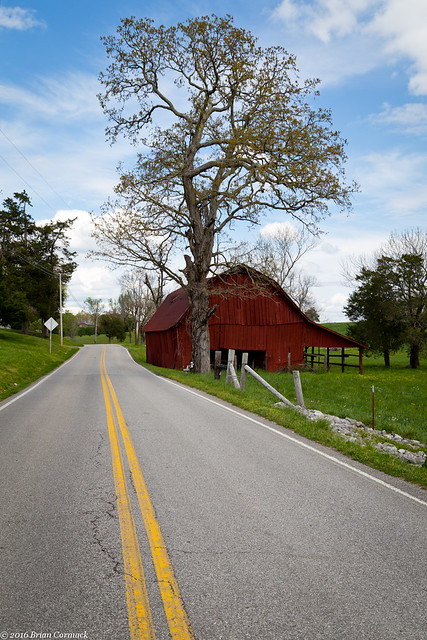
So we turned around and headed back to Nashville. But along the way I did stop and take a picture of this old barn that is guarded by a tall oak tree.

IMG_6713-3

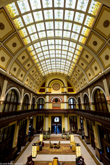
The next day we decided to keep the driving to a minimum and spent the day in Nashville. The baby and I headed downtown, and while he snoozed in the stroller I took a few pictures of the old train station. Built in 1900, the Union Station is a beautiful old building. It operated as a train station until 1979, when it was closed due to a lack of interest in rail travel. In order to save the building, it was converted into a hotel in the 1980s.

IMG_6850-2

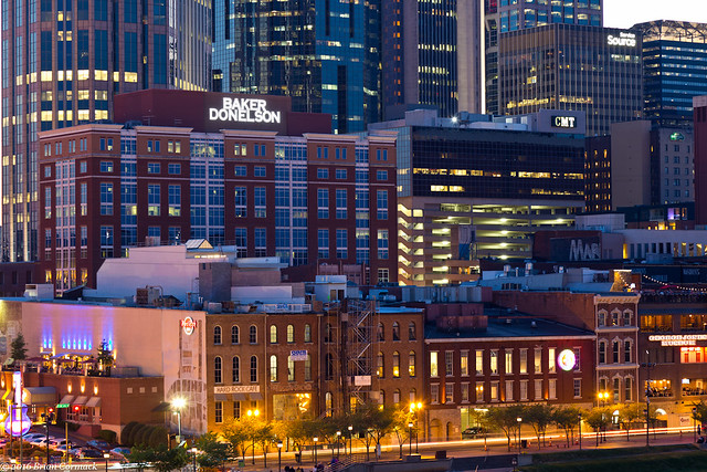
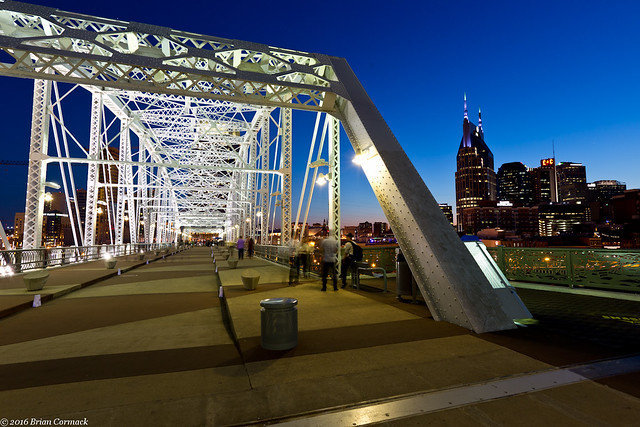
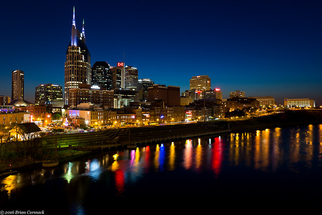
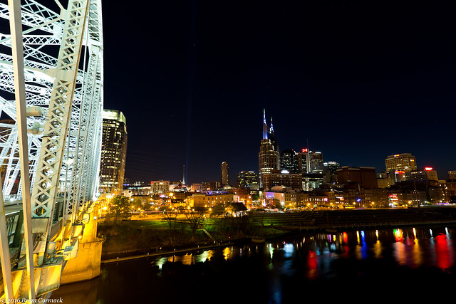
That night I was able to get back out and get a few shots of the Nashville skyline from the pedestrian bridge that crosses over the Cumberland River.

IMG_6962-2

There must have been a photography club out on the bridge, because there was probably fifty people there with cameras and tripods roaming around. The bridge does provide a terrific view of the Nashville skyline.

IMG_6980-2

IMG_7011-3

The bridge was built in 1909, and was converted into a pedestrian bridge in 2003. From the bridge you can easily hear strains of music playing from the bars and clubs downtown. It's well worth a visit if you're visiting Nashville.

IMG_7021-2

Monday, May 2, 2016

Lorance Creek

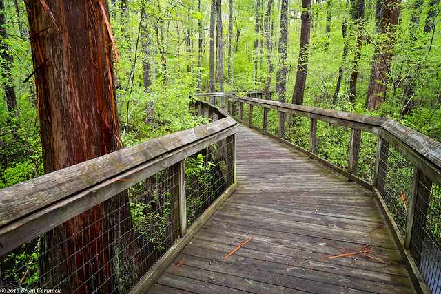
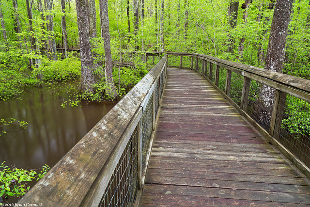
A few weeks back I headed out to visit Lorance Creek, a photogenic little spot located just a few miles south of Little Rock. Lorance Creek is a shallow swamp that is protected as a Natural Area by the Arkansas Natural Heritage Commission. A short paved trail runs through a hardwood forest and then a boardwalk takes you into the swamp.

Lorance Creek

According to the ANHC, Lorance Creek is a "diverse mosaic of upland pine hardwood forest, open water, bald-cypress/tupelo swamp, beaver ponds, and sandy washes overlain with groves of swamp black-gum. All these features are inter-connected by a complex network of small streams and seeps, which support a rich aquatic flora." This is the perfect time of year to visit Lorance Creek, the swamp is filled with water after the Spring rains and the mosquitoes haven't fully invaded yet.

IMG_6626-2

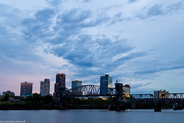
It was getting close to dusk, and it looked like the sun might just be breaking through the clouds and making something interesting at sunset. I took advantage of Lorance Creek's proximity to downtown Little Rock and quickly headed over to see if there might be some good sunset colors above the skyline. It never really developed into anything, but the clouds were interesting enough to stick around for a few pictures anyways.

IMG_6661-2

Wednesday, April 27, 2016

Flatside

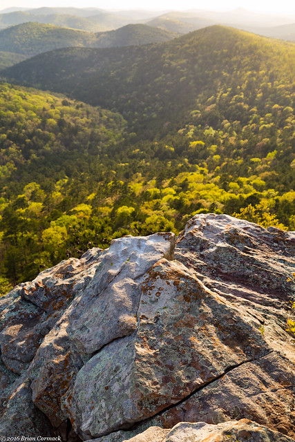
Recently, I wanted to take some pictures so I decided to pay another visit to Flatside Pinnacle. Flatside is one of the prettiest views in Arkansas, and luckily its only about an hours drive from Little Rock. I was there just when all of the trees had gotten their new Spring leaves, in that short but magical time when the green on the trees is a deep and saturated green.

I was reminded how out of shape I am right now (three months of doing nothing but holding a baby and watching TV will do that to you) when I made the short but steep hike up to the top of the mountain. The view is amazing, with miles and miles of wilderness spread out below. There are very few traces of development spoiling the view, just tree covered hills.

IMG_6384-3

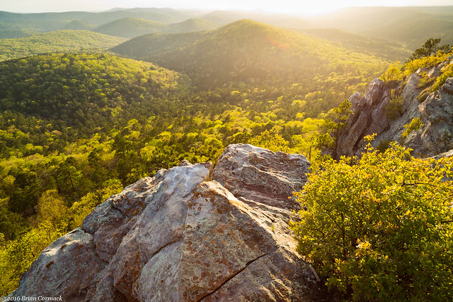
As it got closer to sunset, the sun dropped low enough to bathe the hills in a bright golden light.

Flatside

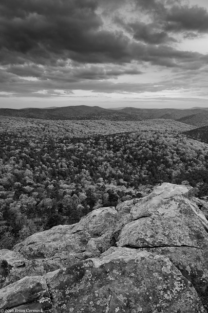
But it clouded up right before sunset, and the light fizzled out. So here is a view as it began to get dark. Ominous looking clouds began to drift over the view, carried by strong winds that were tossing the trees around. I took a few more pictures before making the hike down the mountain and back to the car.

IMG_6546-3

Saturday, April 23, 2016

Back To The Delta

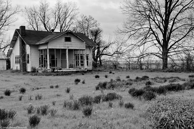
While I still have some time off from work, I've been trying to squeeze in some photography time when I can. So recently I headed back out to the Delta to try to get a few more photos for a project that I've been working on. I headed southeast, driving through Pine Bluff along Hwy. 65. The first stop was this abandoned home, which overlooked the road and some train tracks.
IMG_5678-2

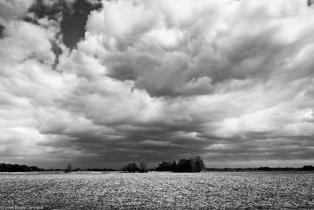
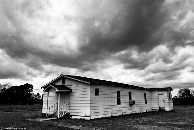
There were dark clouds hanging overhead, threatening to storm at any moment. Although they looked ominous, it never actually rained.
IMG_5683-2

IMG_5700-3

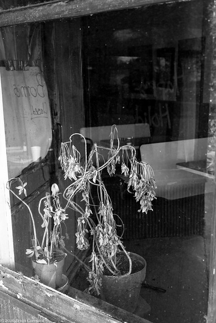
I headed north on Hwy. 1 when I hit Dumas and eventually drove through the small town of Watson. My grandmother was born in Watson, and she lived here until the Mississippi River flood in 1927 forced the family to move to North Little Rock. Watson is a small town, now with a population of about 200 people. One of the landmarks in Watson used to be Bonnie's Cafe, which was one of those great local little restaurants that I wish I had been able to eat at. But apparently Bonnie wanted to retire, and the place closed. Looking through the windows, the building is still set up like it just closed a few minutes earlier. Salt and pepper shakers are still on the tables. You wouldn't ever guess that it was closed, except for the dead houseplants that long ago turned brown sitting by the window.
IMG_5722-2

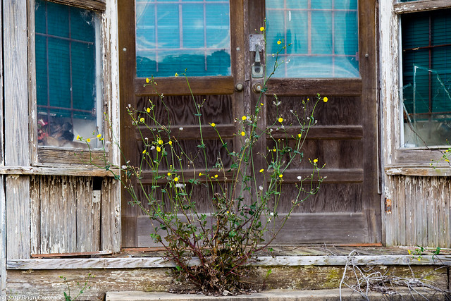
A store used to be in the old building next door, although it has long since been closed and abandoned. A few weeds were growing tall along the steps in front of it.
IMG_5770-2

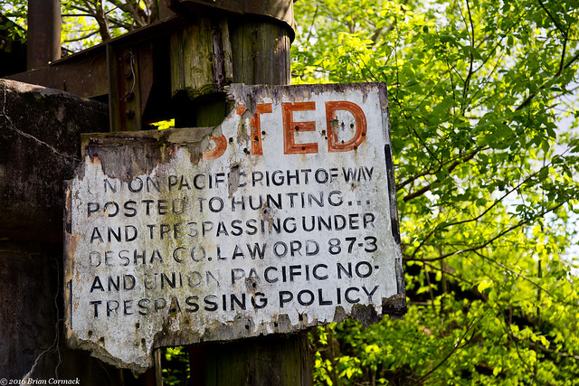
From Watson, I headed onto a dirt road that drove up and over the Arkansas River levee and through some thick forests to the old Yancopin Bridge. The rail bridge was built in 1903, and was abandoned in 1992. The bridge is going to be part of the planned Delta Heritage Trail, which will be run by the Arkansas State Park system. I searched the area around the base of the bridge for a good clean view of it, but never saw anything I liked (I have since seen some good pictures of it, so I guess I need to return and look again). This old sign is still attached to one of the bridge supports, warning against trespassing.
IMG_5794-2

Most of the clouds had moved on, and the sun was beginning to break through.
IMG_5836-2

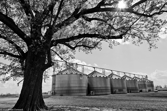
I headed north, passing by Arkansas Post and driving deeper into the flat fields of the Delta.
IMG_5895-3

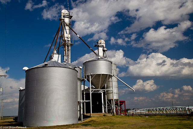
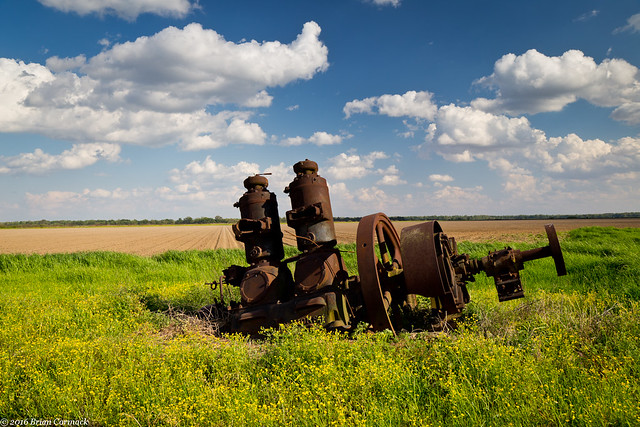
I pulled over to get a few pictures of what I think might be an old pump. It was surrounded by a sea of yellow wildflowers.
IMG_5901-3

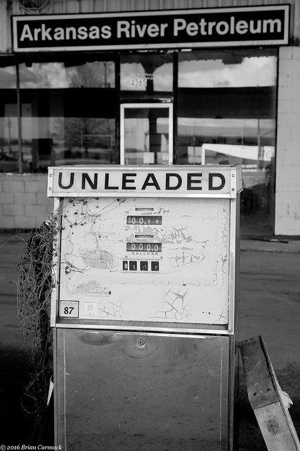
In Gillett, I stopped at this abandoned gas station for a few pictures. The paint on the gas pumps are cracking and fading, and some sort of plant has grown up and around the gas nozzle.
IMG_5965-4

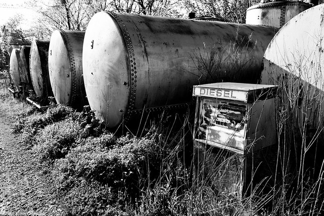
Along the side of the store were these old fuel tanks, surrounded by overgrown weeds.
IMG_5983-2

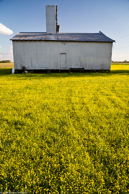
Driving further north I passed by this farm building, which was completely surrounded by tiny yellow flowers.
IMG_6027-2

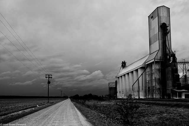
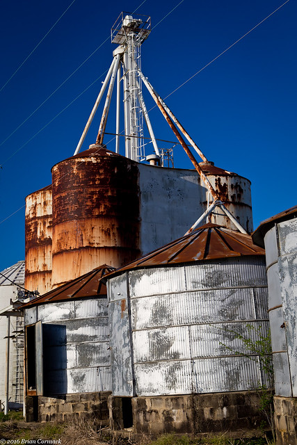
The Delta is defined by agriculture, and towns are dominated by elevators and storage buildings for rice, soybeans and cotton.
IMG_6039-3

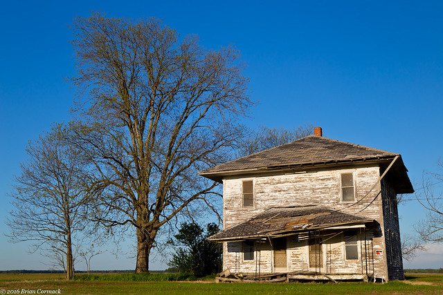
I headed down a dirt road and passed this old abandoned house and got a few shots while the massive cloud of dust that was kicked up from driving down the road slowly settled on my car.
Delta

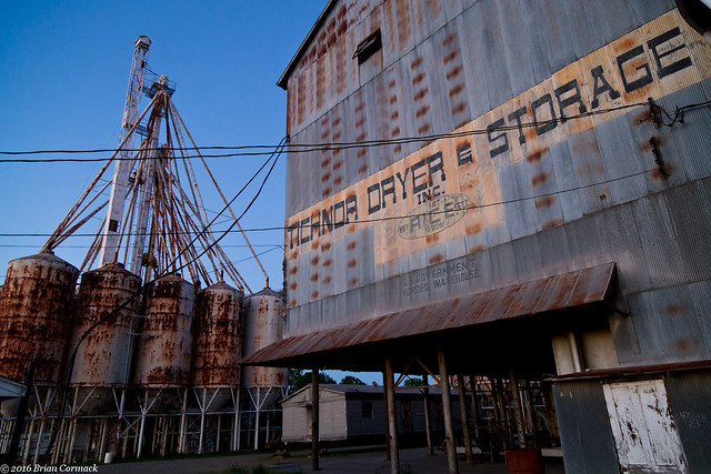
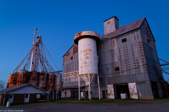
The last stop for the day was the small town of Tichnor. In the middle of town is the Tichnor Ricer Dryer and Storage Building, which was built in 1955. At four stories tall, it is the center of the small town and has been listed on the National Register of Historic Places. I took a few pictures as it got dark, and then drove back home.
IMG_6072-2

You can't see it in this picture, but there was a hammock strung up there. Which is something I'm going to definitely suggest that we add to the office when I head back to work in a few weeks.
IMG_6090-2

Saturday, April 16, 2016

The Delta

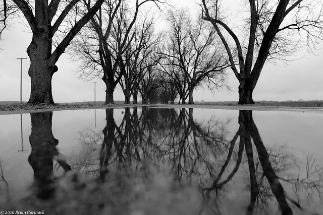
I'm currently working on a little photo project, which involves getting some more photos of the Arkansas Delta. So a few weeks back, I headed out on a cool and rainy afternoon and drove around hoping to find something to take pictures of. I headed east out of Little Rock, driving first through the small town of Scott. There are many pecan trees around Scott, and just south of town is the Pecan Alley. This neat spot is where old and tall pecan trees line the road, stretching for a few miles. It had rained heavily earlier that day, so puddles of water had formed on the road. This is a view of the road, taken with the camera resting on the concrete (I looked both ways before walking onto the road).

IMG_5348-4

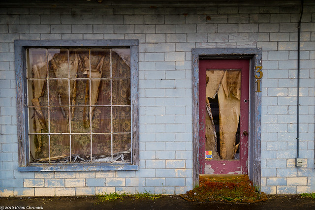
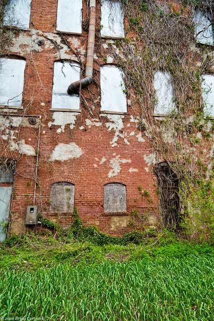
Next I headed over to the small town of Keo, and got a few pictures of this abandoned building. The curtains in the window have faded and begun to disintegrate over time. I wonder what was in this building before?

IMG_5389-4

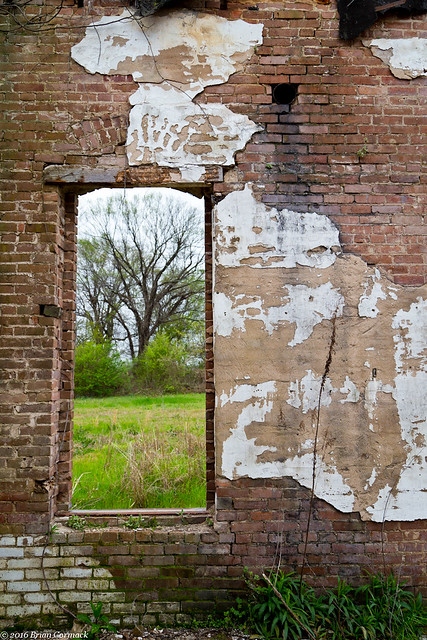
From there I headed south, and drove through the small town of Tucker. There is a collection of old buildings in Tucker, including the shell of an old store. It was built in 1913, and also served as a plantation office, post office and a bank. All that remains of the building now are the walls.

IMG_5449-2
Just down the road is a maximum security jail, so there are several signs around Tucker warning against picking up hitchhikers.

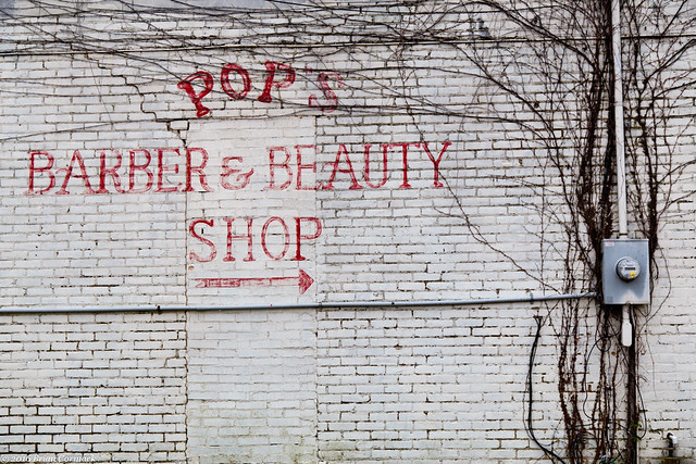
I headed further south and drove into the city of Pine Bluff. There is a lot of history in Pine Bluff, it was incorporated way back in 1839. But it has had some struggles in the past few decades. Many of the buildings downtown are empty and abandoned. I was there on a Wednesday afternoon and the streets were eerily quiet.

IMG_5481-2

IMG_5490-2

Train tracks run right through the heart of downtown Pine Bluff. The trains are both a blessing and a curse. Rail service helped to open up Pine Bluff's industry and also helped to make it one of the state's most prominent cities in the 1800s. But the constant vibrations and rumblings from the passing trains are now thought to be a major contributor to the collapse of several buildings in downtown Pine Bluff. Currently several blocks of Main Street are blocked off while debris from the collapsed buildings is cleaned up.

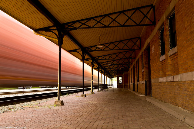
The old train station in Pine Bluff was constructed in 1906. The station was converted into a museum, but trains still storm by several times a day. This is a freight train moving past, taken from the station platform that still maintains the look of the olden days of rail travel.

IMG_5538-2

From there I headed a bit further south, to the small town of Mitchelville. Only around 360 people live in the small town, which is dominated by a large elevator for Riceland Foods, which judging by the company name I can safely assume holds rice. The elevator is several stories tall, and it towers over the flat landscape.

IMG_5567-4

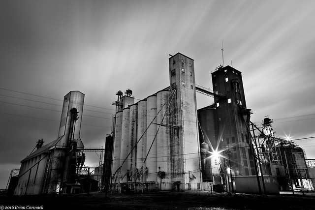
A storm was approaching, and I decided to do something that in hindsight seems a little foolish. I set up the camera by the elevator in Mitchelville, wanting to get a picture of it as it got dark. Since it was about to storm, I secretly hoped that I could capture some lightning in the sky above the elevator. Which yes, it was not the wisest place to be in a storm (tall buildings and lightning aren't a good combination, and it probably isn't a good idea to be standing next to one during a storm with a metal tripod). I did try to take a few pictures, until it started to pour down rain. I hurried back to the car after getting drenched, and then attempted to dry off the poor camera. It had gotten wet, and wasn't working quite right. So when I got home I stuck the camera in a bag of rice (which is kinda funny considering I was standing next to a rice elevator when it got soaked). It worked fine the next day, although it did have a lingering smell of jasmine rice after that.

So this is one of the shots I took before the storm got bad and started pouring down rain. I was glad that I got a decent shot since I risked the camera to be there!

IMG_5591-4