From Nashville, we headed east towards the Smoky Mountains. Which meant we got to drive through the towns of Pigeon Forge and Gatlinburg. Now if you’ve never been here, these two towns are definitely unique. I can think of several words to describe Pigeon Forge, but the kindest one would probably be “tacky.”
What must have once been a quiet mountain town has morphed and mutated into a sprawling jumble of t-shirt shops, As-Seen-On-TV stores, gem shops, amusement parks and go-kart tracks. You can attend the Hatfield & McCoy Dinner Show, or visit countless beef jerky stores and Old-Timey photo places. You can even visit the Titanic or see King Kong climbing a fake skyscraper (because when I think of Appalachia, I immediately think of the Titanic and King Kong).
We stayed in a cabin outside of Gatlinburg, which is also filled with cheesy tourist traps. There are so many Ripley’s Believe Or Not places here (like a museum/odditorium, an aquarium, a haunted adventure, and a Marvelous Mirror Maze and Candy Factory) that you’d think this was a Ripley’s company town. But Gatlinburg is more compact, so it manages to retain a bit more charm than Pigeon Forge (once you get past the traffic and crowds).
Gatlinburg is also the gateway to the National Park. In fact, the town runs right up against the border to the park. So when you’re driving south on Hwy. 441 you are immediately taken from the rows of stores selling candy and fried food and deposited directly into the woods. It’s a sudden transition, and results in a bit of culture shock when you enter or leave the park.
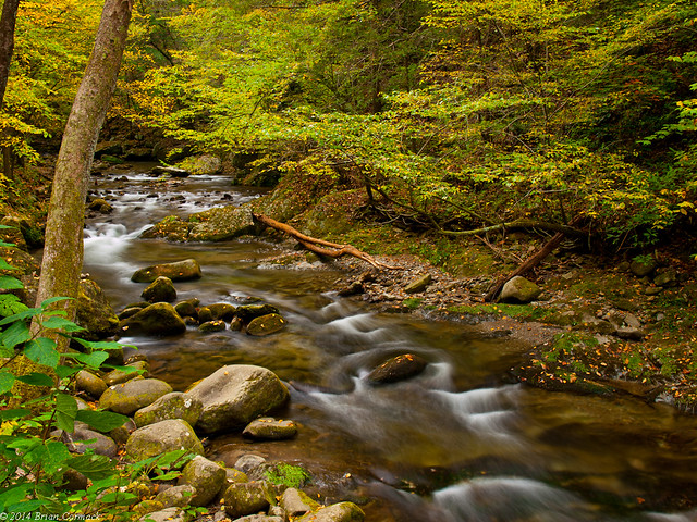
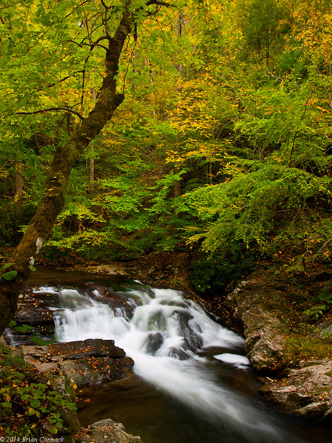
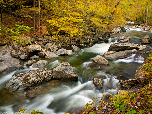
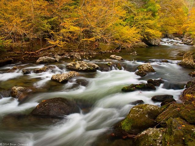
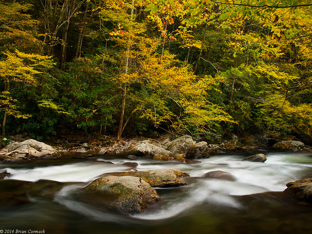
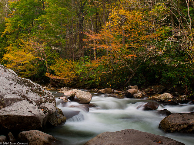
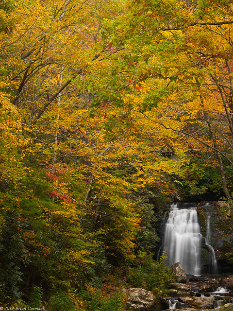
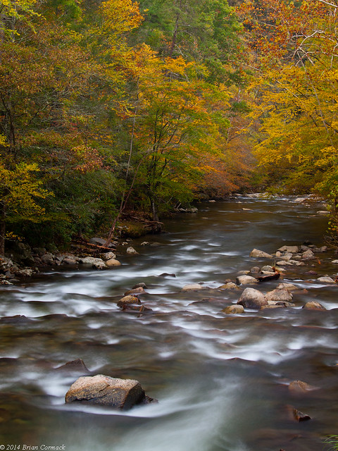
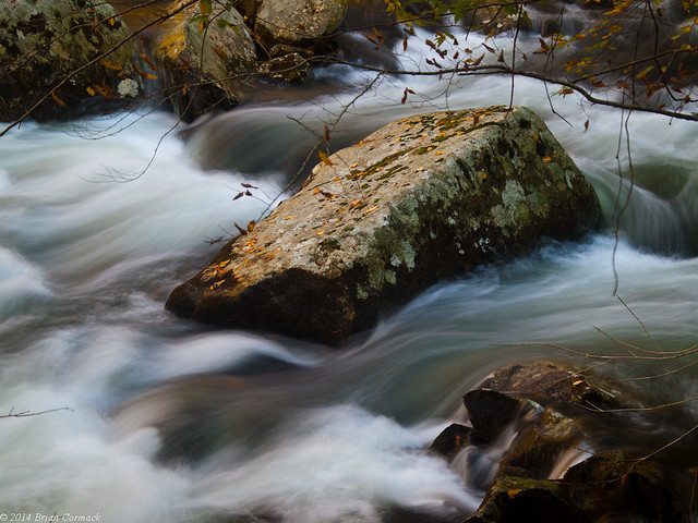
On our first day in the Smokies, we sat in traffic and Gatlinburg and then entered the park. It was a warm autumn day, and we headed towards Cades Cove. I stopped several times at this stream that ran parallel to the road, which tumbled and played around several large boulders. Even though it was bright and sunny, several places were shaded by the mountains and I was able to get a few pictures.
Cades Cove definitely has to be one of the most popular places in the National Park, and at times it seemed as crowded as Gatlinburg. The Cove features an eleven mile driving tour that visits several old cabins and churches, and runs past fields and forests. Before starting the drive, we stopped for lunch in the picnic area. A small stream ran beside the picnic tables.
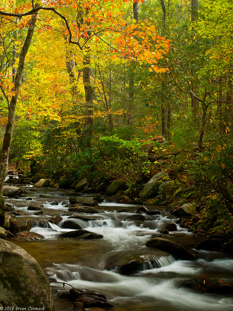
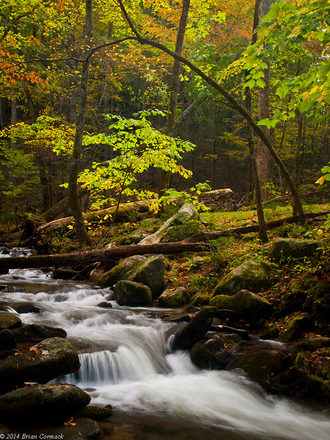
The fall colors were beginning to really show the week we were there.
Cades Cove is the Boxley Valley of the Smokies, except no one lives here anymore (besides black bears). When the plans for the park were announced, the residents of Cades Cove were vehemently opposed to it. After the park acquired Cades Cove, most of the more developed buildings in the valley were demolished. This left behind the older and more primitive buildings, which were believed to better represent what the frontier life was like there.
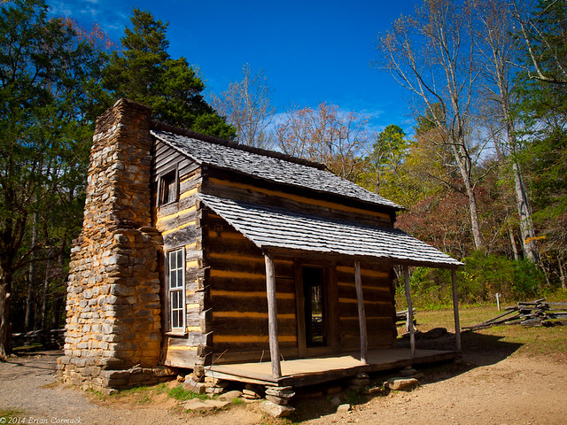
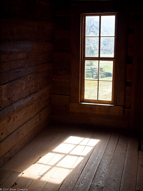
The first stop on the driving tour is a cabin built by John Oliver, the first permanent European settler in the Cove. The cabin was built in 1823, and sits away from the road in a small field.
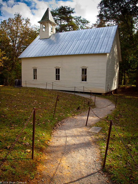
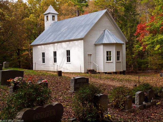
Just down the road is the Cades Cove Methodist Church, which was built in 1902. A small cemetery sits behind the church.
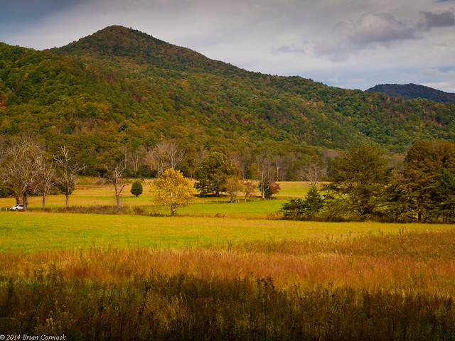
This is a view of Hyatt Lane, one of two roads that bisects the Cove. Cherokees lived in this area long before the white settlers arrived, although there aren’t many traces of their presence left. One of the only traces is this road, which follows an old Cherokee trail.

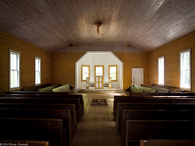
Our next stop was the Cades Cove Missionary Baptist Church, built in 1916. I thought this was the prettiest of the churches in Cades Cove. The interior has three windows behind the altar, which really brings in some nice light (unfortunately, a bunch of idiots thought it would be cool to add their graffiti to the altar). The stone cross on the floor in the middle, I think, marks the spot where an old stove used to sit.
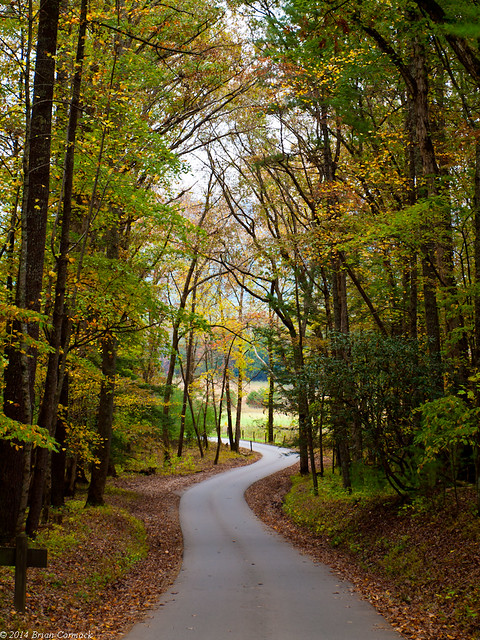
A view of the road, in one of the rare breaks when there weren’t any cars on it. I stood in this spot for probably 10 minutes and got five pictures that didn’t have a long line of cars moving along at a glacial pace.
We joined the rest of the crowd and slowly made our way through the cove. There is a visitor center here, situated around an old mill and home. It was so busy, with cars idling in the road waiting for a parking space, that we sadly gave up on it and continued on.
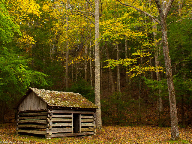
Our next stop was the Tipton place, an old home with a collection of old buildings surrounding it. This was probably either an old smokehouse or a woodshed.
And a view of the road as it passes by the Tipton place. Taken again during one of the very brief and miraculous breaks in traffic.

Across the road from the old house is the double-cantilever barn. The barn design, popular in the Smokies, had large overhanging eaves that would give protection to livestock and equipment.

We made one last stop at the Carter Shields Cabin, built in the 1880s. Not very many other people were stopping here, however. Which may have been because it was getting late in the day. Or people were getting old building fatigue after sitting in agonizing traffic for hours. Who knows, but there was a stark difference in the number of people who stopped here compared to the first cabin on the loop.

We joined the stream that was steadily inching its way towards the end of the drive. We finally reached the end of the loop, after two cars stopped in the middle of the road, backing everyone up behind them, so they could run out to take pictures of a deer. It was nice to get out of Cades Cove and onto a road where you could speed (by going over 10 mph!).
Cades Cove really is a beautiful spot with some neat scenery and architecture. The traffic there is frustratingly awful (and I do fully realize that we were contributing to it with our car as well), and it does take away some from the experience of visiting here. Luckily, other areas of the national park are much less crowded, and more serene.