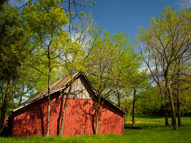
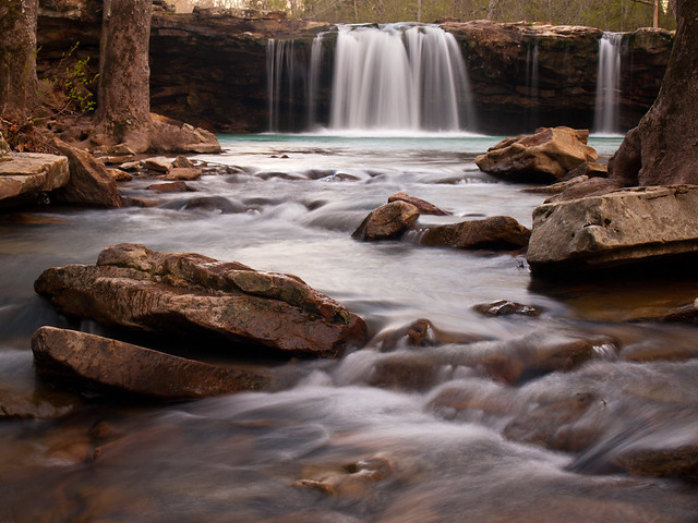
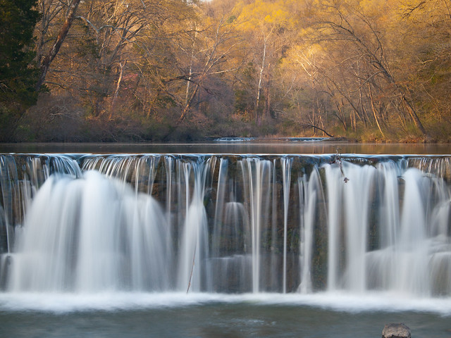
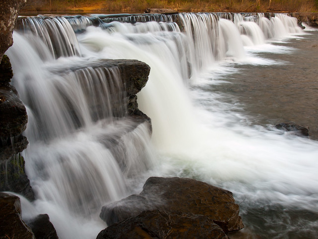
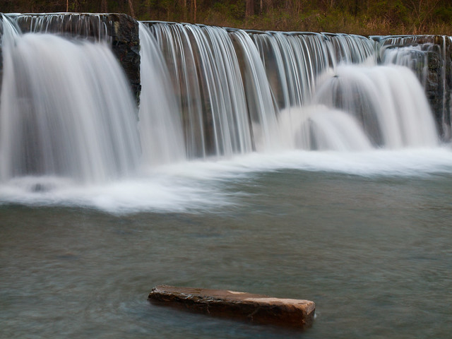
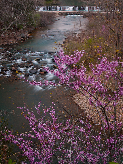
From Falling Water Falls, we drove up Hwy. 7 towards the Buffalo National River. Our plan that night was to camp at Kyle's Landing, one of the National Park Service campgrounds along the river. We weren't the only ones with that plan, since we forgot to take into account that this would be a wildly popular weekend for people to float the river. We got to Kyle's Landing and it was absolutely packed with people, cars and canoes. We managed to find a spot along the side of the road in the primitive camping area and set up our tents.
We didn't stay there for long. The alarm went off uncomfortably early, just before sunrise. The trail to Indian Creek starts out at Kyle's Landing, and we walked by the sleeping campers and began the hike. The first part of the hike is deceptively easy, but the trail is about 4.4 miles total and rated as a "difficult bushwhack." I was sore for a few days after this hike.
There is no official trail here, but it's such a popular place that there are a few unmaintained trails that run into the canyon. Most follow the creek, but a few ramble up the hill. The creek is the prettiest way to go. The canyon created by Indian Creek has been called the most rugged within the park.
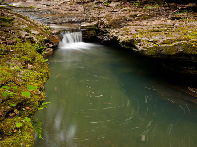
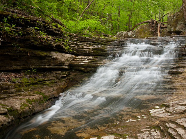
Indian Creek is very similar to Lost Valley, another popular trail along the Buffalo River. Both of these creeks were actually old caverns, which collapsed long ago. You can still see evidence along the creek of smaller caves and subterranean passages. Indian Creek also tumbles through several small waterfalls and cascades.
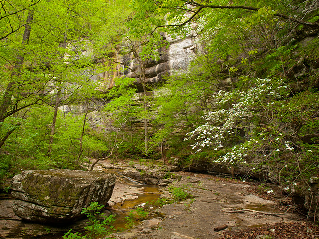
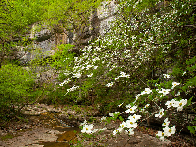
We were surprised at the number of dogwood trees still in bloom in the Ozarks this year. The blooms usually don't hang around this late into Spring.
Along the way we passed this natural swimming pool, although it was a little empty that morning. This was right along the creek. If it looks a little dry, it's because this is one of the places where the creek flows underground.
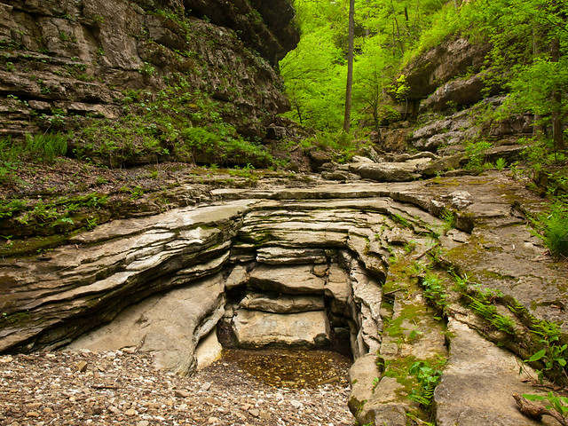
The hike gets a bit more tricky as it continues up the canyon, but it also gets more and more scenic.
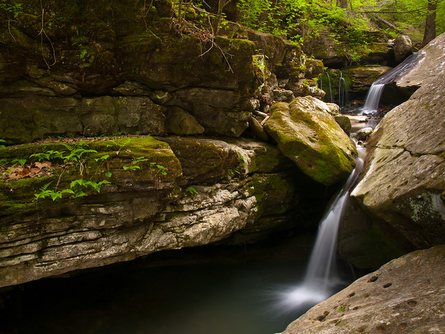
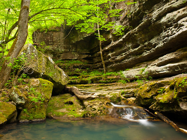
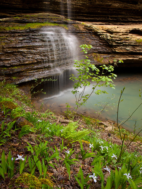
After two miles of hiking, we made it to Copperhead Falls. The delicate falls are 13 feet tall, and tumble down moss-covered layers of rock.
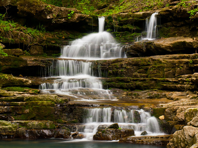
Zack and I were thrilled to see a dogwood tree in bloom, standing conveniently right above falls.
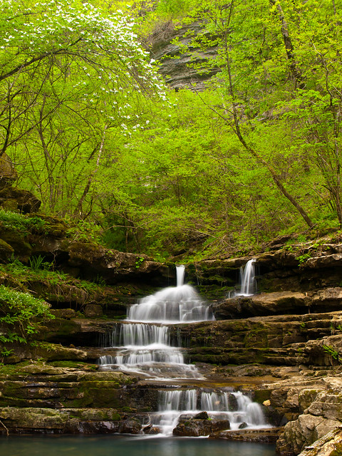
And one more shot from the falls. A tree had fallen and crashed into the pool below the falls. The tree will probably be here for awhile. There is another waterfall in the Ozarks (Pack Rat Falls) with a downed tree resting in the pool below the falls. It has been there for several decades, apparently being constantly soaked in water helps to preserve it.
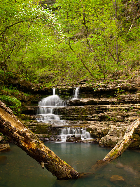
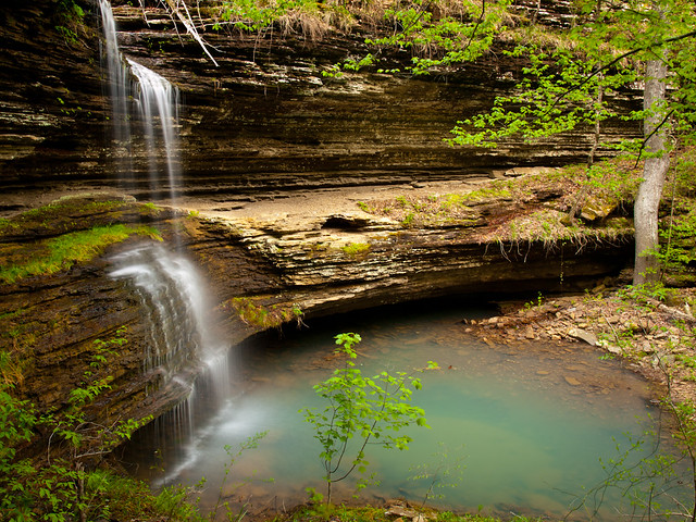
We didn't see any Copperheads at the falls. And in fact, didn't actually see any snakes at all along this hike. From Copperhead Falls we made the short hike to the next waterfall, which was equally amazing. The creek pours out from the side of the canyon wall, creating two waterfalls. This is the upper section of the falls, where Indian Creek runs underground and exits through a small hole.
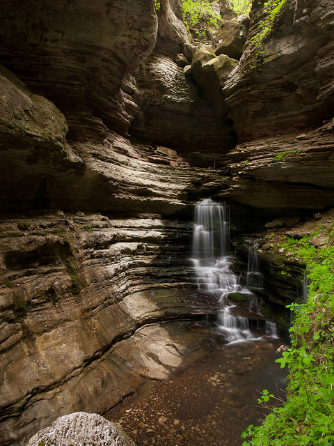
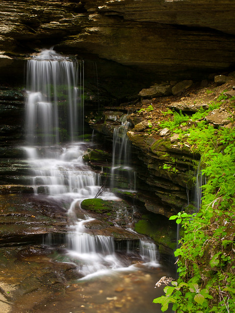
The creek next tumbles down a few boulders and then flows into an emerald pool surrounded by ferns.
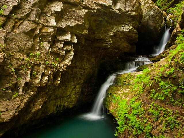
And another shot of the lower section of the falls. The water here gets its bluish-green tint due to diluted particles of limestone in the water.
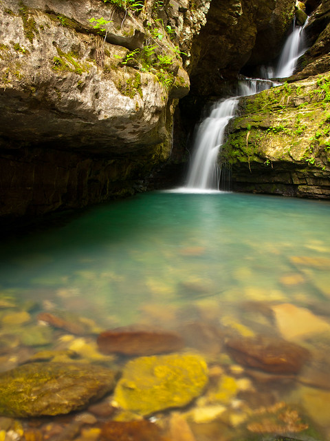
The trail to Indian Creek has been rated as a difficult hike. And apparently the National Park Service says that more injuries occur within the Indian Creek Canyon than any other area in the park. I was thinking about that when we decided to head on to the next scenic area on the trail. If you're brave, or foolish enough, you can hike to a part of the creek called "The Eye Of The Needle."
There used to be two ways to reach the Eye Of The Needle. The easiest (which does not sound easy at all), was to climb up through a cave that usually has a waterfall flowing out of it. It was mostly dry the day we were there, with just a bit of trickle flowing out. But to get there would mean climbing up about 30 feet up the side of the cliff. The cave is closed now, to protect the bat population that calls the cave home. This is a shot of the base of the waterfall, looking downstream.
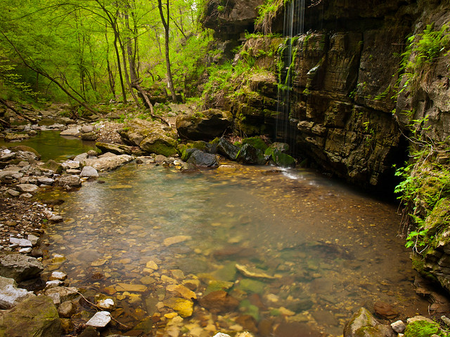
So that leaves the second option. To get there involves climbing up a rope, scrambling up a very steep hillside and then crawling through a small cave. It was difficult and dangerous, and not highly recommended. I think my wife probably would not have approved if she saw what I was doing (sorry baby!). This is the view from the top of the canyon, Indian Creek is below.
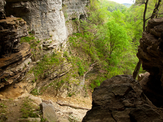
So after all the effort and difficulty, we finally made it to the Eye Of The Needle. And of course, there wasn't any water flowing through it like we had hoped. It's still an amazing place. The creek has carved a hole through the canyon. During times of really high water, the creek will flow through the hole and create a waterfall. It was dry that day, since the creek was instead flowing underground.
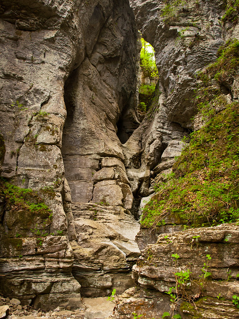
For a sense of scale, try to spot Zack standing "Where's Waldo" style somewhere below the Eye.
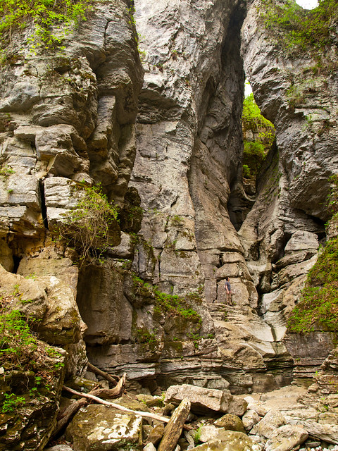
After taking a few pictures at the Eye Of The Needle, we turned around and started to head back. The sun came out as we were leaving the waterfalls, which quickly put an end to our photography that morning. But we finished the hike, and happily drove into Jasper for lunch at the Ozark Cafe.