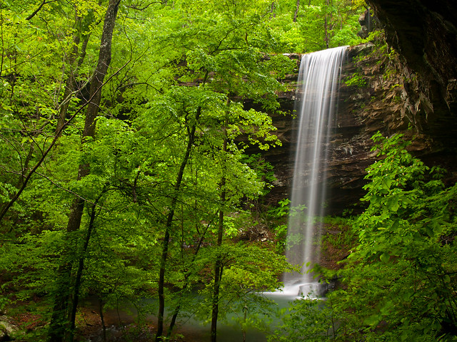
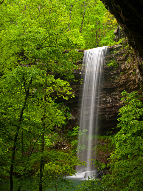
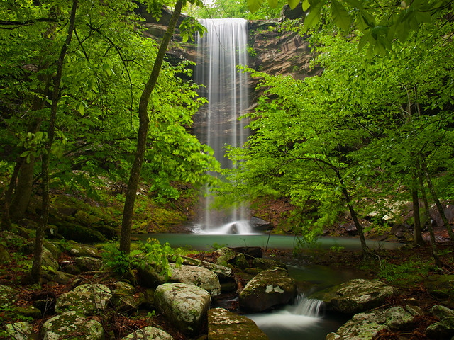
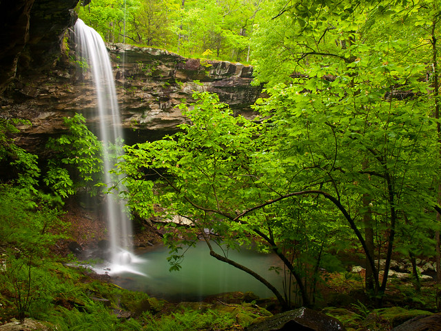
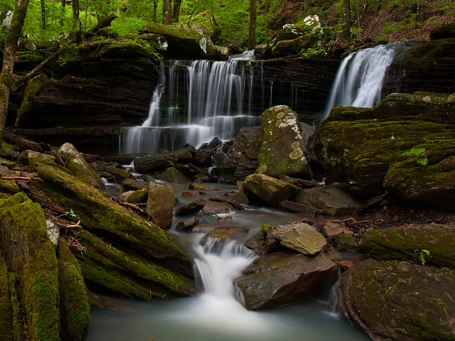
Tuesday, May 27, 2014

Haw Creek

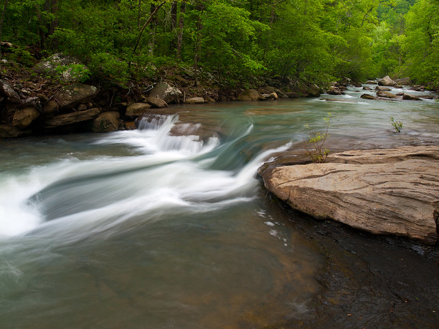
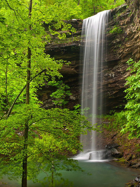
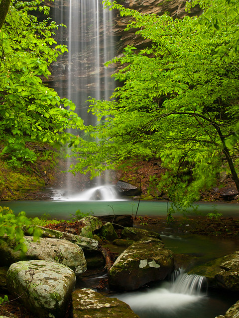
After lunch at the Ozark Cafe (I had the chicken fried chicken sandwich, and it was awesome), we headed south towards home. But we had time to hit another waterfall, and decided to visit Haw Creek.

P5179877

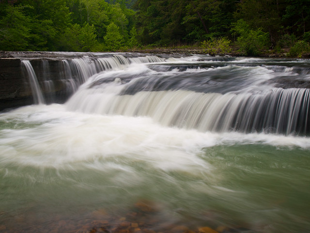
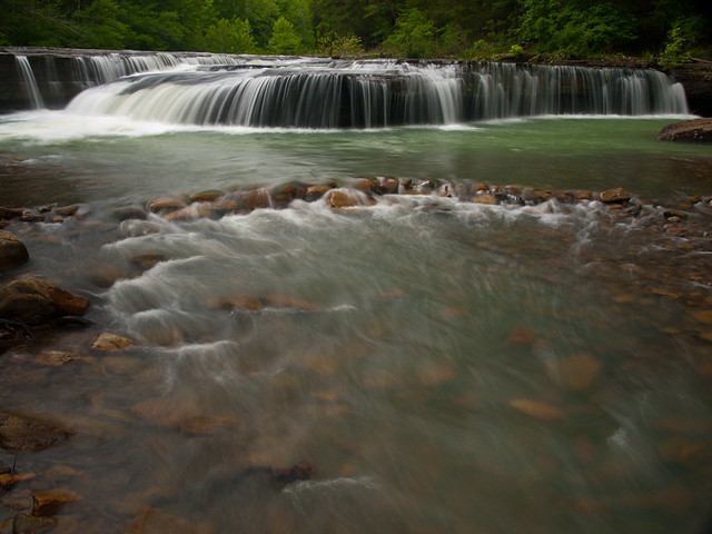
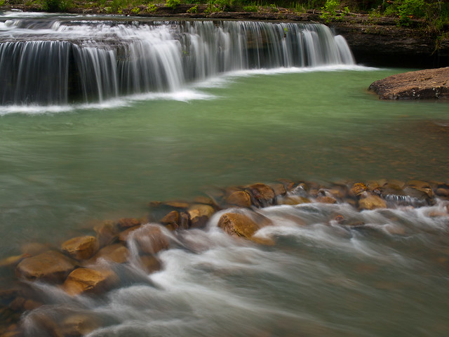
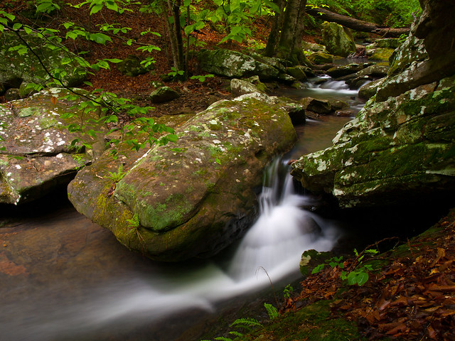
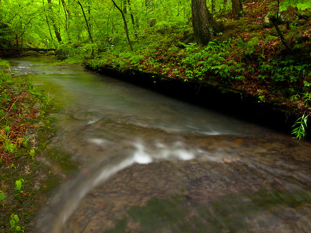
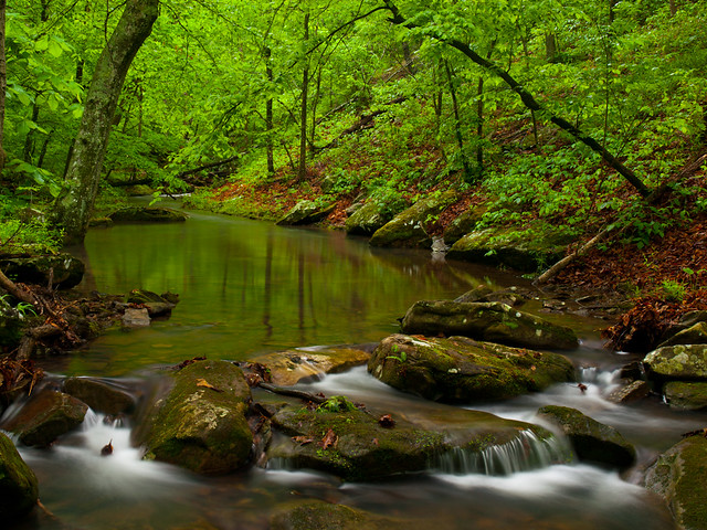
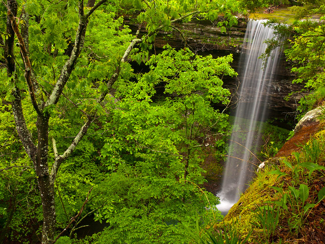
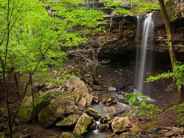
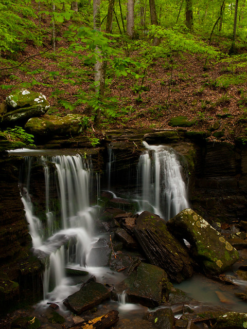
Haw Creek Falls are right by an Ozark National Forest campground, and to get there you do have to drive across the creek. It's a sort of low water bridge, and I hoped the creek would help to wash off some of the mud and dirt that had amassed on my car. We parked and made the very short walk to the falls, which actually had a good amount of water flowing through.

P5179886-2

The falls are only 6 feet tall, but they stretch across the creek.

P5179908-2

P5179954

From there we headed back towards home, and got into Little Rock around 9 or so that night. It was a productive day for waterfalls. There has been a pretty bad drought here the past few years, and there hasn't been a very long waterfall season. So it was nice to be able to take a few pictures of this one, while it lasts.

Monday, May 26, 2014

Triple Falls

After hiking over four miles to get to Bowers Hollow Falls, we finally made it back to the car. The weather was still perfect for photos, and we wanted to find a few other waterfalls nearby to take pictures of. ButAnd since we had just finished one hike, it would be nice if the next hike was easy. So we decided to drive through Boxley Valley and then hit Triple Falls, which are all within the Buffalo National River.

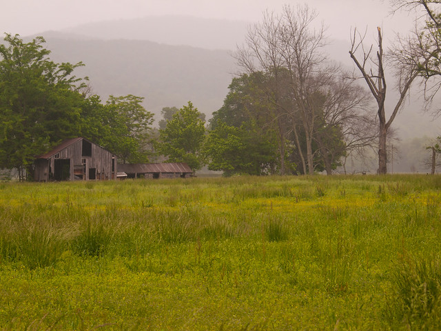
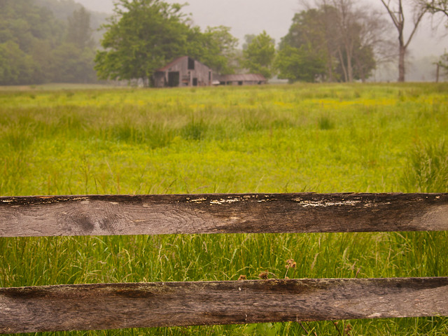
Fog shrouded the tops of the hills that surround Boxley Valley. It is an amazing place, filled with old barns and homes that are over a century old.

P5179759-2

P5179758

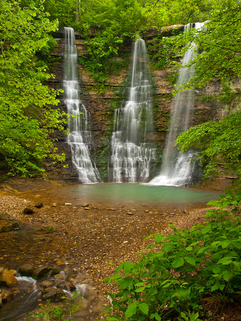
We then headed out to Triple Falls, which is located in a Boy Scout camp along the river. The falls are one of the easiest waterfalls to hike to in the state (although the dirt road in can be a bit bumpy). It's a short stroll to the falls, which was ridiculously easy after Bowers Hollow that morning (and Indian Creek a few weeks back). The falls are about fifty feet tall.

P5179840

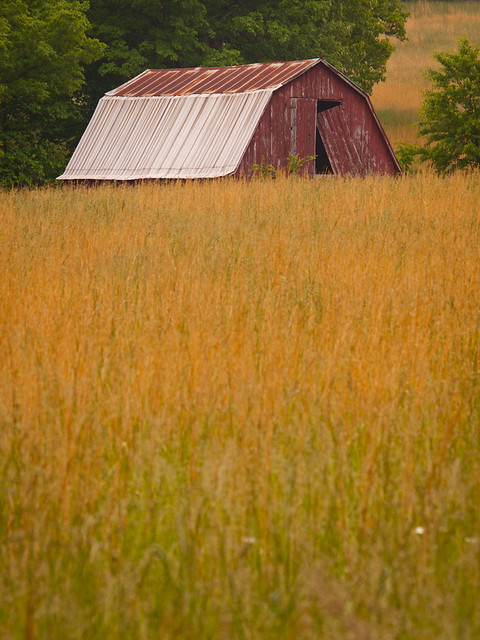
This barn is along the dirt road to the falls, and looks like it's about to be engulfed by the overgrown field surrounding it.

P5179853

Our next stop was Jasper, for another traditional visit to the Ozark Cafe. Over lunch, we tried to decide where to go next. It was time to start heading back towards Little Rock, but there were a few places that we could hit along the way...

Saturday, May 24, 2014

Bowers Hollow

So from Longpool, Zack and I headed north towards the Buffalo River. Our plan was to camp overnight, and then hike into Bowers Hollow in the morning. I had never been to this hollow before, and the conditions looked perfect (cloudy, after days of rain). After several miles of driving down bumpy dirt roads, we finally parked near the trailhead to the falls. But as soon as we parked, it started to rain. It would end up raining all night, stopping just before sunrise.

So we woke up and started the hike. It's about two miles to the falls, but the trail follows an old road trace so it's not too tough of a hike. Eventually you do have to leave the trail and bushwhack down the hill to the top of the falls. And then carefully make your way along the edge until you find a spot where you can safely drop down below the bluff. Because of the last bit of the hike around the falls, this is rated as a "difficult bushwhack." But it is well worth it.

P5179546

It's an amazing area, and one of the prettiest waterfalls in the state.

P5179563

Bowers Hollow Falls

The falls are 56 feet tall, and the creek was surrounded by blooming umbrella magnolia trees.

P5179614

I took a lot of pictures out there...

P5179660

P5179680

We followed the creek for a ways, as it tumbled and flowed past huge boulders.

P5179692

P5179695

P5179704

After that we headed back to the top of the bluff, and got one last view of the falls.

Bowers Hollow Falls

Wednesday, May 21, 2014

Longpool

Last weekend, Zack and I decided to head off to see some more waterfalls. It had rained earlier in the week, and it was predicted to be cloudy all day on Saturday. Perfect conditions! So we picked out some waterfalls that we wanted to visit, and left after work on Friday.

It took longer than I would have liked to leave town, thanks to the traffic jam along I-40 in Mayflower. But we eventually broke free and started to get closer to the Ozarks. We had time to hit a waterfall before it got dark, and decided to hit Longpool Falls. The falls are near the Longpool campground along Big Piney Creek, and can be reached by a short hike. I've been to the falls many times, and have only been lucky enough to catch it running just one time before. I hoped that the falls would be running that day, after all the recent rains.

The trail to the falls is short, but it does involve a scramble over some slick rocks. Luckily the falls were running well enough, and I hurried to get some pictures of the 44 foot tall falls.

P5169506

There is a smaller waterfall downstream from the falls, which have a lot of personality.

P5169517

It was starting to get dark, but we stayed out there until the light was just about gone. This was a 25 second exposure:

P5169521

We hiked back to the car and started driving deeper into the Ozarks, towards the spot where we camp that night. It would rain overnight, creating a memorable waterfall day out in the woods....

Tuesday, May 20, 2014

Petit Jean

Petit Jean State Park is one the best state parks in Arkansas. There are some great trails there, including the one to the mighty Cedar Falls. It's a short drive from Little Rock, and well worth the visit. It had been awhile since I had visited Petit Jean, so I decided to head over there when I had some free time. This is the view from the Stout's Point Overlook, near Petit Jean's grave. It was mostly cloudy that day, and I hoped that the clouds would take over so it'd be easier for waterfall pictures.
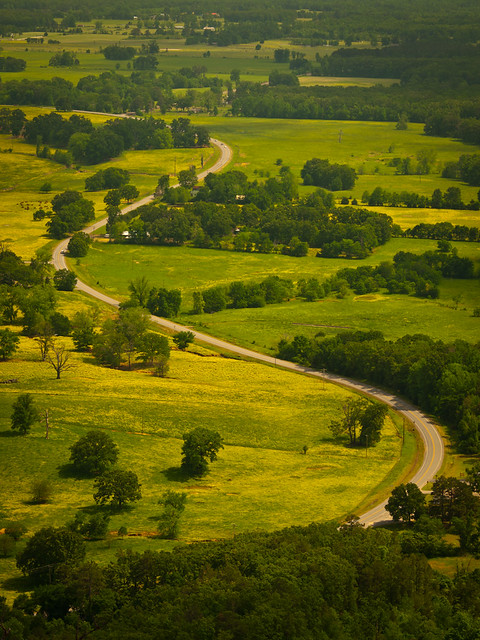
P5119283

I started out on the Cedar Creek trail, which runs for about 1.25 miles. The trail was actually constructed by the Civilian Conservation Corps way back in the 1930s. It follows a small stream as it drops down the hill to Cedar Creek, then runs along the creek and then back up the hill. I stopped to get a few pictures, but the clouds were not cooperating. I sat and waited for awhile as clouds slowly drifted in front of the sun, granting a few minutes for some hasty pictures.
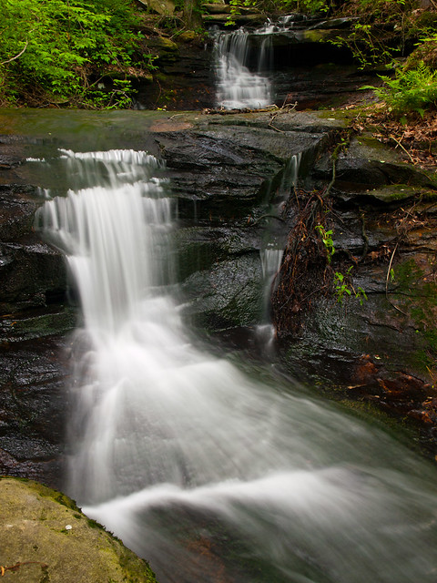
P5119335

After finishing the Cedar Creek hike, I started on the trail to Cedar Falls. Luckily the canyon above Cedar Creek is tall enough that the creek was already in shadow. There is a lot of tree damage at Petit Jean, probably casualties from the ice and snow this winter. Several trees had fallen into the creek.
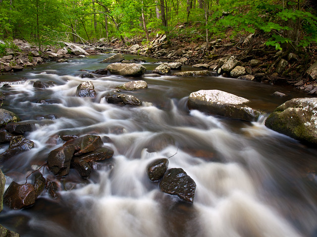
P5119354

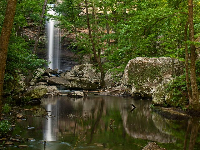
After hiking about a mile, the trail finally reaches Cedar Falls. It is an impressive sight, and one of the most powerful waterfalls in the state.
P5119405

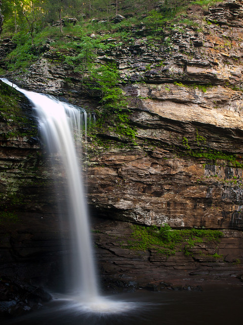
The falls are 95 feet tall, but the canyon walls surrounding the waterfall are probably twice that.
P5119412

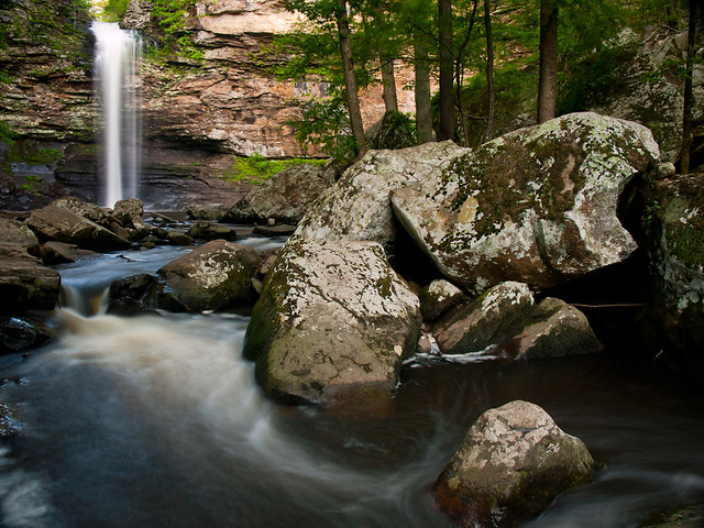
It's one of the most popular waterfalls in the state. There were a lot of families out there, with kids running and jumping on the rocks.
P5119454-2

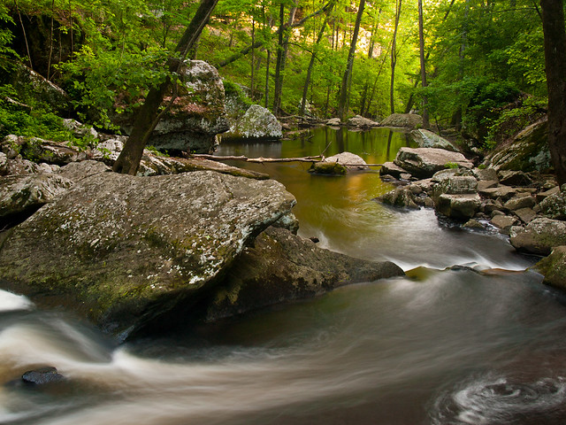
This is the view looking down Cedar Creek, as the light from the setting sun was catching the distant walls of the canyon.
P5119457

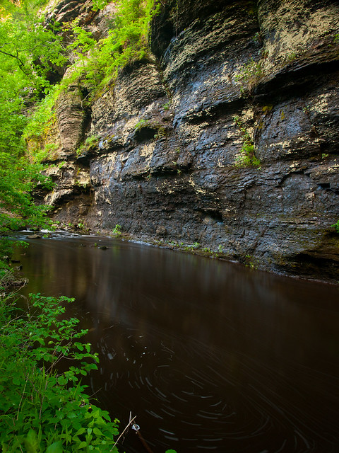
Cedar Falls is the main attraction here, but the creek can be really scenic and interesting. Along the way back, the creek runs by a tall bluff line. This isn't along the trail, you have to wade through a sea of poison ivy to get to this spot.
P5119492-2

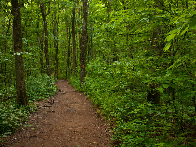
The well-worn trail to Cedar Falls...
P5119499

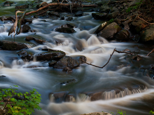
While hiking back, I looked over to the creek and saw a crane standing in the water just above a small cascade. I rushed to get the camera ready, while trying to not make any sudden movements that would scare it away. I managed to get one picture before the crane moved, and then flew away.
P5119495-5

The trail ends back at the lodge, as you make the long slog back up the hill. The trail switchbacks and can get quite steep, instantly reminding you of how out of shape you are. My legs, which had survived Indian Creek a few weeks before, were not happy with me.