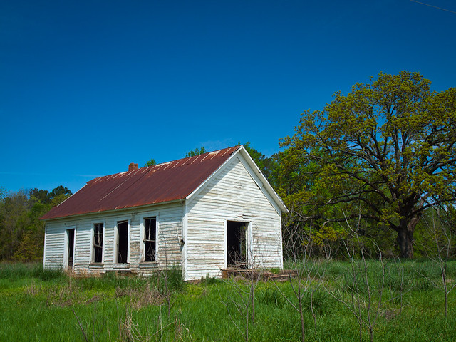
Along the way, we passed by this old abandoned church(?). I got out to take a few pictures, hoping that the tall grass I was walking through wasn't the home of any ticks or chiggers.
We soon found a possible nap location that was close by - a little park along a lake near the Arkansas River. So we hurried in, along with a bunch of people fishing. I managed to get about an hours worth of sleep, and then went to visit the park's bathroom. Which was probably the most disgusting bathroom I've ever been inside. It ranks up there with the bathroom in Trainspotting.
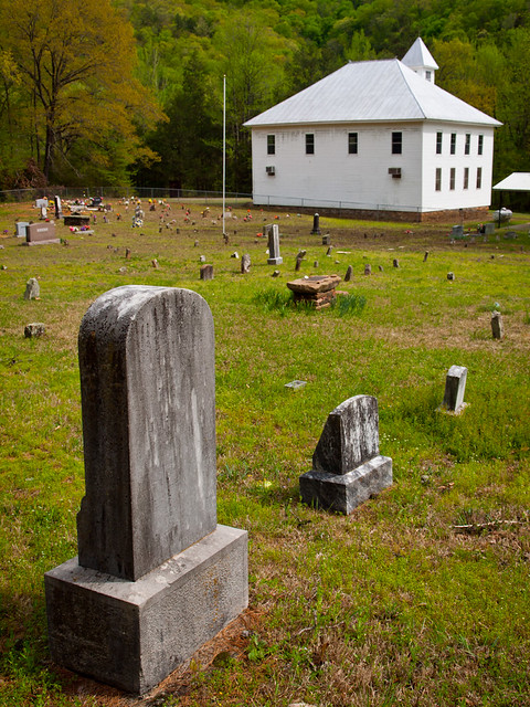
But with that done, we headed up to Clarksville to grab some lunch. Since I went to college in Clarksville, I knew of a perfect spot - the old Diamond Drive-in. Best burgers in town! After filling up on burgers, we got back into the car and headed to the northwest, driving up into the Ozark Mountains. We soon turned onto a road that ran parallell to the Mulberry River. I'd never driven this road before, and soon wished I had found it sooner. It is perhaps one of the prettiest in the state. The road provides views of the Mulberry (which had a few people floating by on canoes), and past several neat old buildings. This is an old church, sitting near the road, that was guarded by an old cemetery. The Mulberry River actually ran behind the church a short distance away...
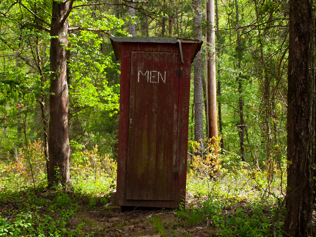
And of course, this being the Ozarks, there was one of these there:
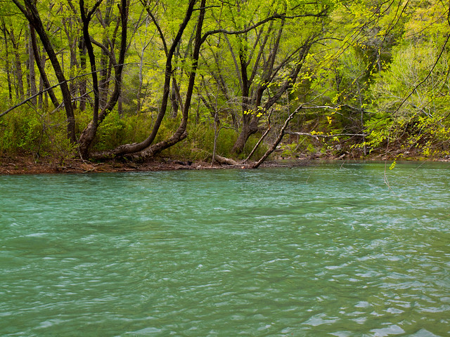
Further down the road was an access point to the Mulberry, so we stopped and took a few pictures.
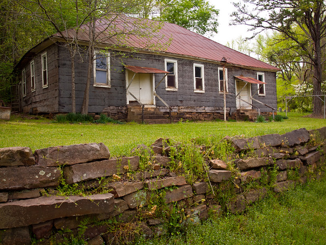
We eventually met up with Hwy. 23, and then headed south towards the small community of Cass, Arkansas. Cass, which I assume was named for Mama Cass, has a few neat old buildings. One of these, which may be an old school, was located just off of the main road.

We followed a dirt road, which traveled up a steep hill. After a few miles of driving, we stopped at our next destination, Phipps Branch Falls. After sliding down the hill towards the falls, we finally made it to the bottom of this 23 foot-tall waterfall. Luckily, some clouds had passed by and it was shady enough for a few photos.
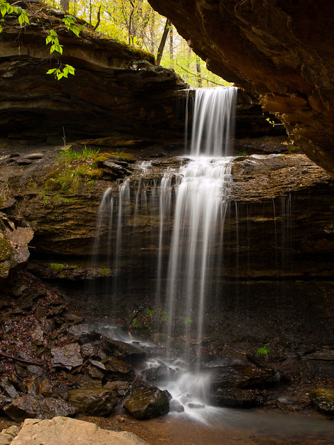
It's a nice waterfall, although it could have used a bit more water in it...
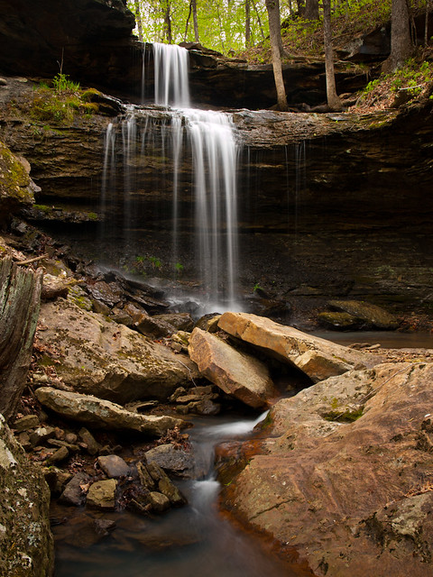
After that, we turned around and headed back towards Cass. Along the way, we drove by Fane Creek, which had some nice little waterfalls and cascades:

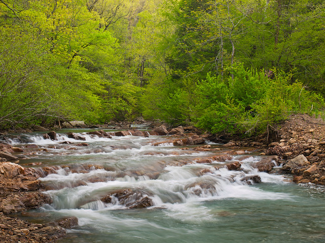
After that we decided to head on home, after a long day of driving and trying to battle the sun and clouds for good photography weather...


No comments:
Post a Comment