
The parking lot to the trail was packed, but it really wasn't all that crowded on the trail. There were a few large groups of people who didn't mind walking into the creek while you were taking a picture, but we had a nice amount of time to explore the waterfalls there. Also, there was a lady randomly smoking pot out there too.
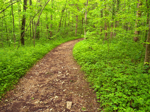
The trail crosses over Clark Creek and then heads deep into the woods, which were a deep and vibrant green. This is what the trail looks like after three weeks of rain:
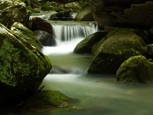
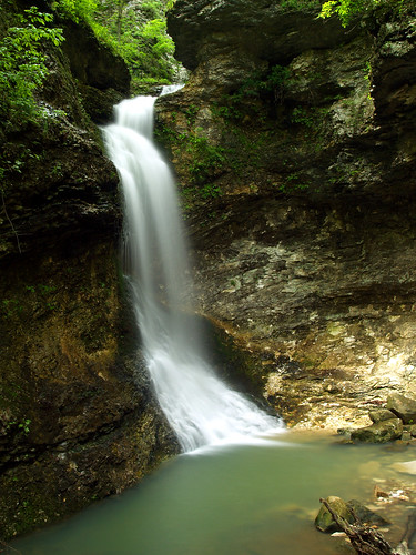
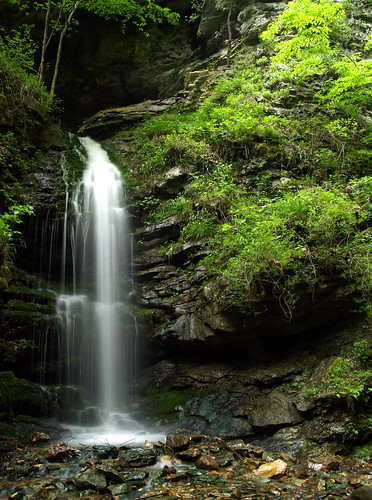
Zack and I stopped to explore this little waterfall along the creek, one of the many falls that you see along the trail.
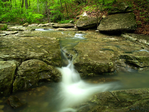
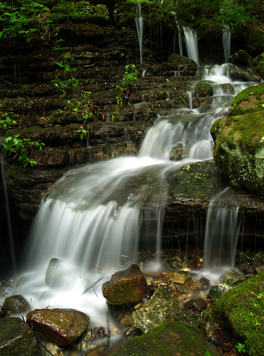
And the view from the top of that waterfall, looking in the opposite direction:
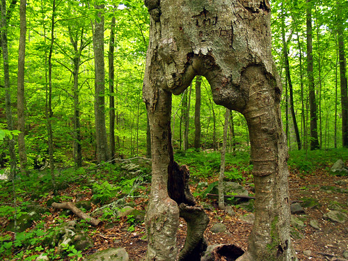
The highlights of Lost Valley are the waterfalls, but this one tree has turned into a landmark. The trunk is hollow, yet the tree is still alive. Amazingly, it managed to survive the recent ice storm that fell or damaged a lot of trees in the Ozarks (including a few along the trail). It's hard to find this tree without people getting their picture taken while standing inside the trunk.
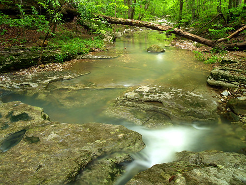
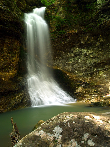
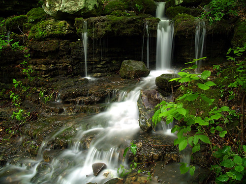
One more small waterfall along Clark Creek:
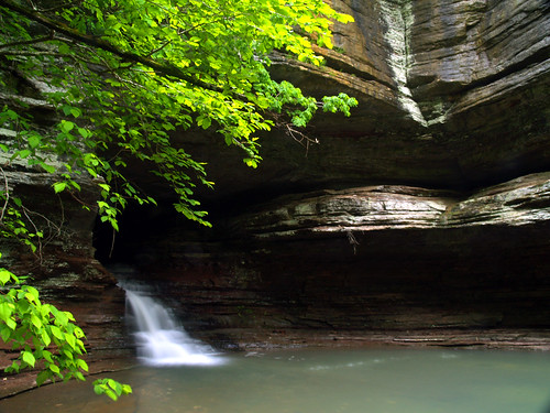
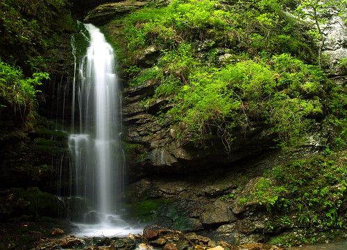
The trail soon runs up to the natural bridge, which actually is the mouth of a cave that once extended throughout Lost Valley but collapsed eons ago. This large rock sits at the pool created by the waterfall there, but this was the farthest out I could get without standing in the water.

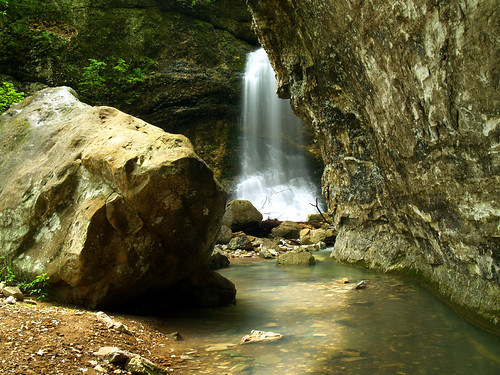
And a wider view of the waterfall spilling out from the natural bridge:
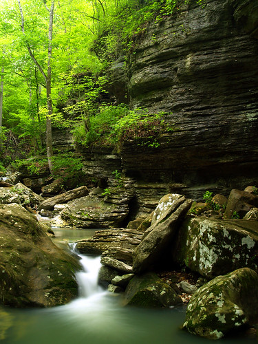
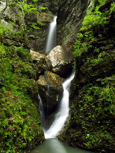
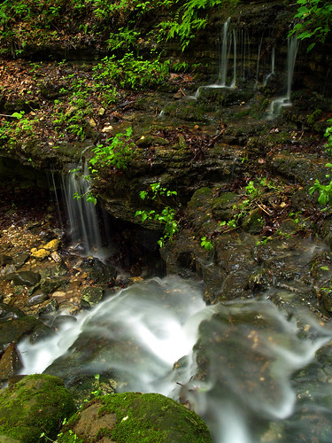
On the opposite side of the natural bridge, the creek has several great other waterfalls, sandwiched by the huge bluffs along the creek.
From here the trail begins to get really interesting, as it gets closer and closer to Eden Falls. Soon you reach the foot of the massive Cob Cave, a giant overhanging bluff that looms high above you. At the base of the bluff sits Eden Falls, one of the prettiest waterfalls in the state.
But that isn't the end of the waterfalls. There are three Eden Falls - a Lower, Middle and Upper. The above pictures are the Lower Falls, and the one that most people see. The other two are just above the Lower Falls, but are a bit harder to get to. To reach the falls, you have to carefully walk across a narrow ledge, and then drop down about nine feet to a small area carved out by the waters of the two falls.
The Upper Falls drop down from a gorge, joining the waters from the Middle Falls which flow out from the mouth of a cave. The Upper Eden Falls:
And the middle Eden Falls:
But wait, there's more waterfalls to see! The trail loops back around and stops at another great waterfall spot - Moss Falls. This isn't a big fall, but I like this spot. The creek dips over several small falls which end right next to a small cave.
It was a perfect day for photography. I was sad to see it come to an end...

2 comments:
All the photos turned out great Brian!
Can't wait to get back out there, we took a good group and it seemed that everyone had a good time.
Thanks Zack, it was a great trip with great people! Can't wait to do it again soon.
Post a Comment