
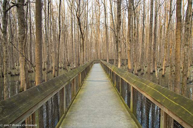
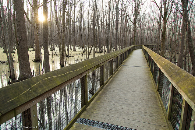
One of the surveyors headed out from the confluence of the Arkansas and Mississippi Rivers, the other one from the confluence of the Arkansas and the St. Francis Rivers. Where those two lines met became the initial point, and it was from this point that all surveys of the lands of the Louisiana Purchase would originate. The spot where they met was in the middle of a headwater swamp, a spot which has somehow managed to never have been drained or developed in the hundreds of years since. The swamp is now a State Park, and there is a boardwalk that conveniently takes you out over the murky waters.
And the sun setting over the swamp. It was February but there were already mosquitoes out.
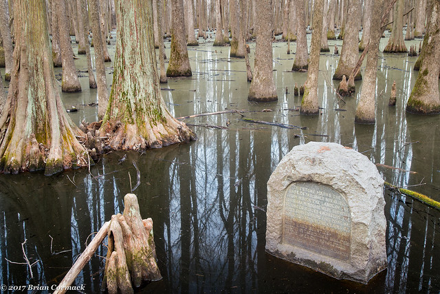
In 1926, the Daughters of the American Revolution placed a commemorative stone at the Initial Point. The swamp is on the National Register of Historic Places and is also a National Historic Landmark.
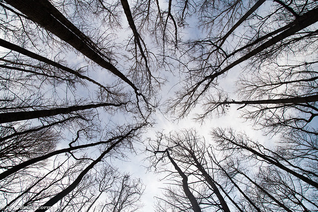
And one last shot looking up at the canopy of trees. The swamp contains several different types of trees, including tupelo, bald cypress, buttonbush and black willow.

1 comment:
J.T. would love to see this in person!
Post a Comment