Wednesday, November 7, 2018

Boxley Valley

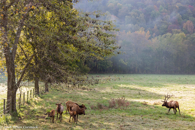
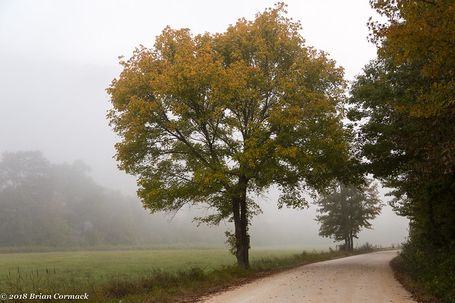
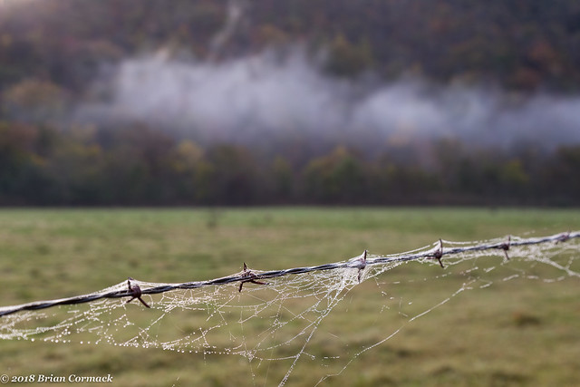
The fog was beginning to lift as I slowly drove the curvy road down into Boxley Valley, which always ranks as one of the most scenic stretches along the Buffalo River. It was early on a Wednesday morning, but there was already a line of cars parked along the road, and a number of people were standing in the dewy grass watching the elk. I pulled over and joined them, but first ended up taking pictures of the fence along the road. Some spiderwebs along the barbwire fence caught the morning dew, while some last remaining fog drifted along the mountain behind the field.

IMG_2695-3

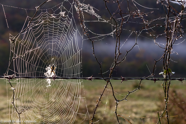
The spider who must have spun those webs was hanging out along the fence a little ways down, waiting for the first catch of the day. It seemed appropriate since Halloween was just a few days away.
IMG_2716-3

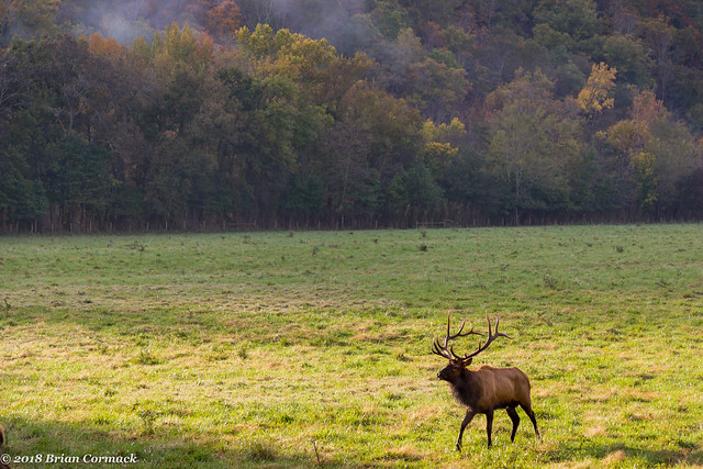
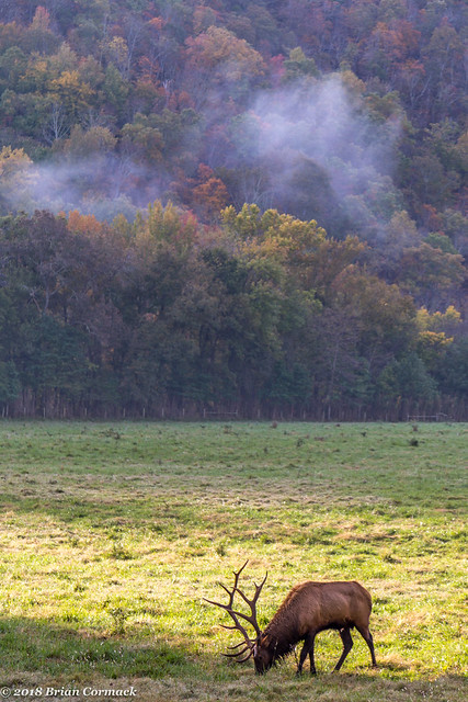
The reason so many people had stopped here is because the elk were actually pretty close to the fence, providing a good close-up view. People were trying to snap photos of the elk using everything from a flip-phone to a massive camera with a lens the size of my arm.
IMG_2750-2

Boxley

IMG_2780-2

The elk grew tired of the paparazzi following them around and began to walk away, so I decided to call it a morning and head back to the cabin. Since it was our vacation, and I was awake super early, it seemed like a good idea to head back to the cabin and take a nap.

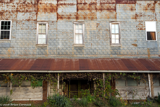
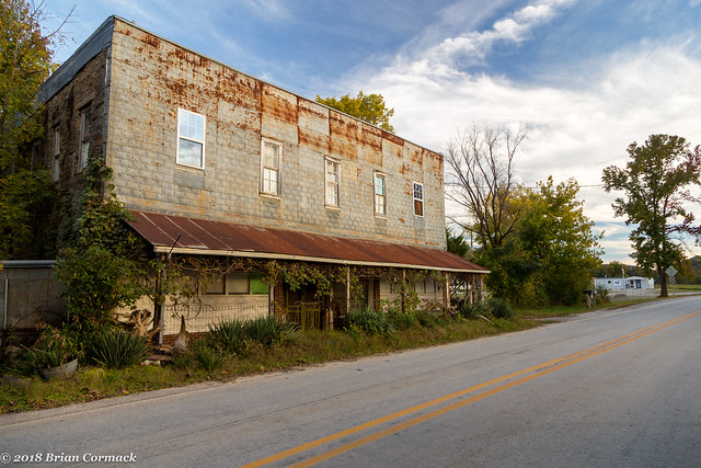
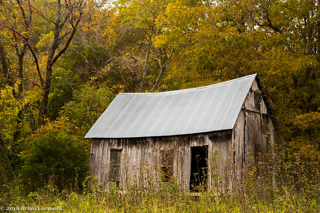
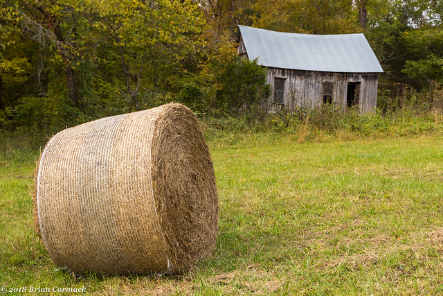
After some rest, Caroline and I headed back out later that day and made another visit to Boxley. The first stop was this old building, which sits in a field along the way to Lost Valley.
IMG_2815 2

IMG_2810-2

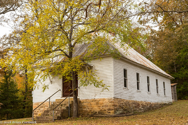
Nearby is the old Beechwoods Church, which was built in 1918. The church is right by the Beechwoods Cemetery, which contains the oldest marked grave in Boxley Valley (1848).
IMG_2828-3

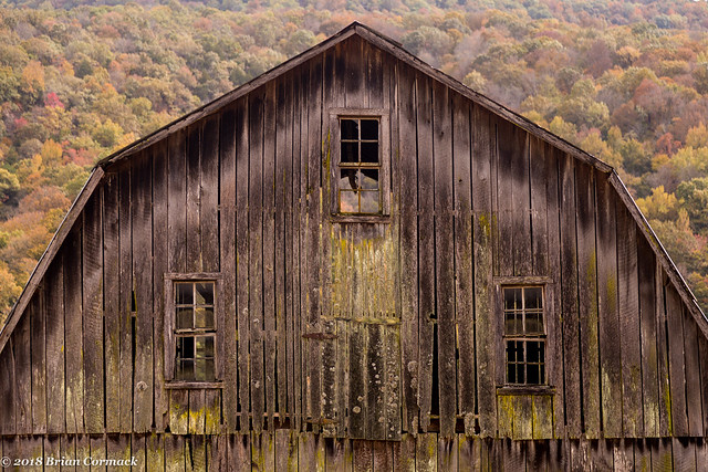
Back on the main road we stopped at this weathered old barn, which was built way back in 1915.
IMG_2841-2

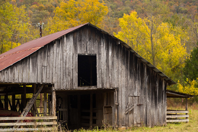
Down the road is another old barn (there are lots of old barns here), which sits near the old Boxley mill.
IMG_2849-2

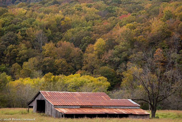
We stopped again at this old barn, sitting peacefully in a field just below Cave Mountain.
IMG_2863-2

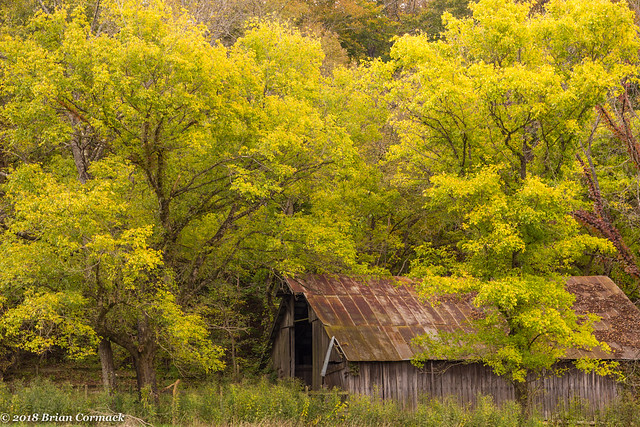
Down the road was this barn, which is surrounded by trees which were just beginning to show their autumn colors. The barn dates back to 1920.
IMG_2959-4

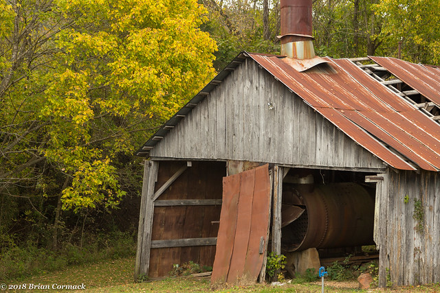
The old Boxley Steam mill, which operated between 1940 and 1976 was once the largest employer in the valley. Not it's quiet, and rusting away.
IMG_2986-3

IMG_2991-3

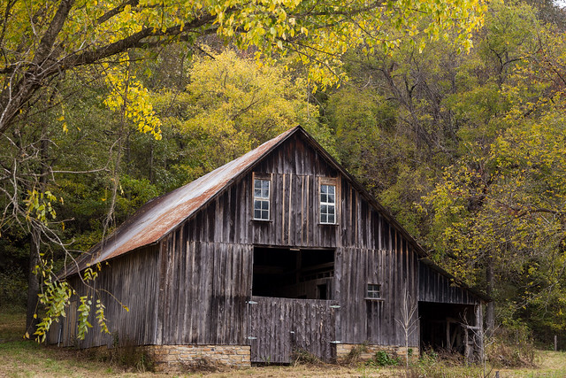
While heading back through the valley we stopped again at this old barn, which was built sometime around 1900.
IMG_3019-2

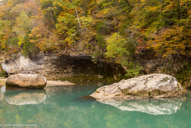
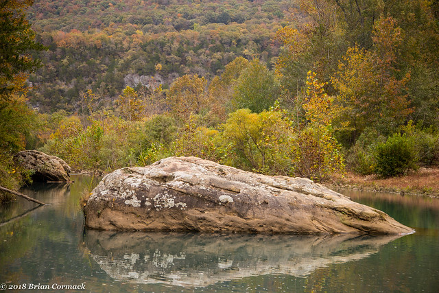
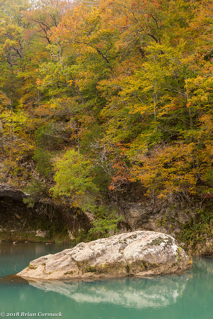
The Buffalo River flows through Boxley Valley, but you can't really see it much from the road. So we headed out on foot to a little spot along the Buffalo, which was just amazingly scenic.
IMG_2905-2

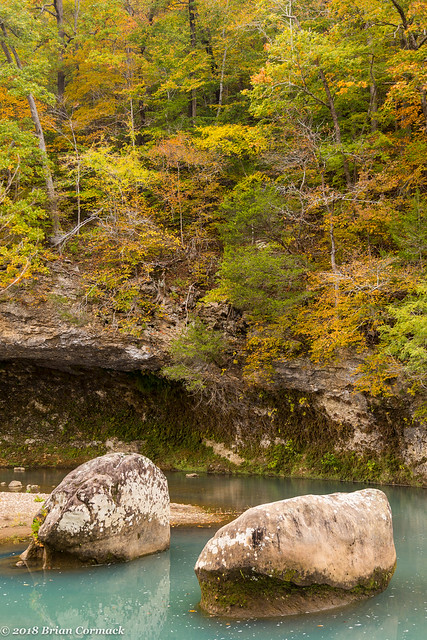
A few large boulders sit in the turquoise water, which is partially fed by a nearby spring.
IMG_2919-2

IMG_2926

And one last shot, this was such a beautiful spot that it was hard to leave.
IMG_2943 3

Later that night we had dinner at the Low Gap Cafe, which was delicious and highly recommended.

Monday, November 5, 2018

Roark Bluff

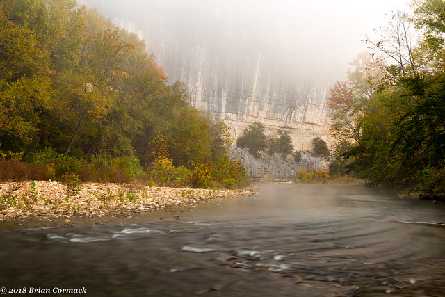
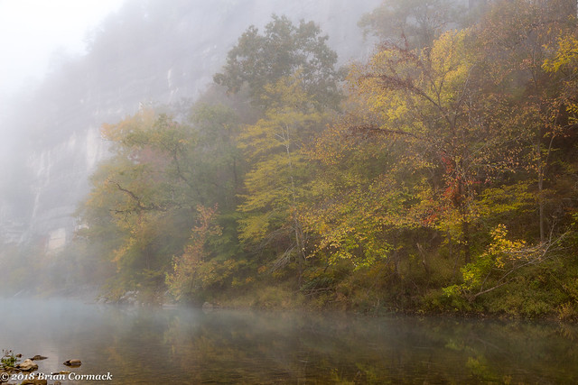
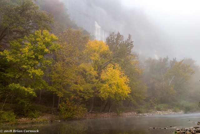
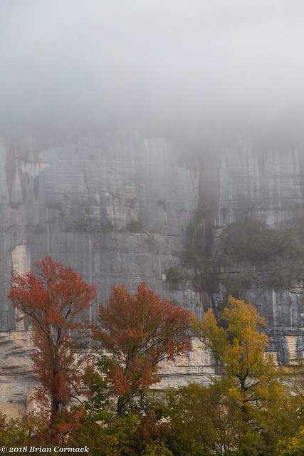
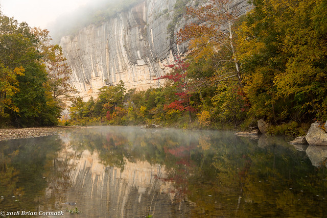
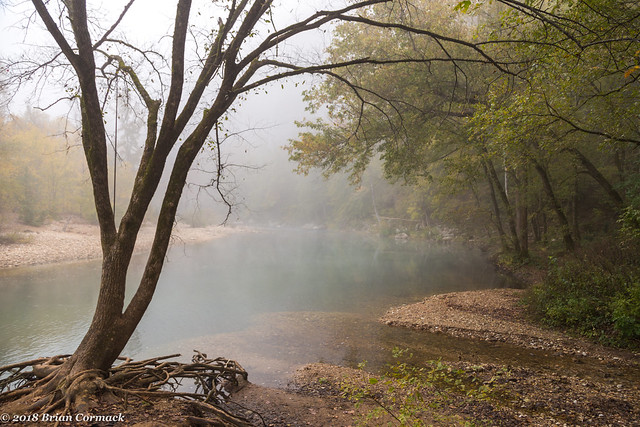
Last week, I woke up before dawn and started driving towards the Buffalo River. Luckily we were staying in a cabin by Jasper, so the drive wasn’t too long. It was extremely foggy, and the car headlights had trouble penetrating the mist along some of the curvy roads. I slowly drove to the put-in at Steele Creek, and then hurried through the dew-soaked grass and trees to the river. The thick fog was drifting along the river, obscuring the top of Roark Bluff.

IMG_2514-4

This has turned into one of the best years for fall color that we’ve had in Arkansas recently. And an extra benefit, it’s been so rainy that we also have the rare treat of full creeks and rivers. A few years ago we were in a drought and there was hardly any water in the river. Definitely not the case this year.

IMG_2527-2

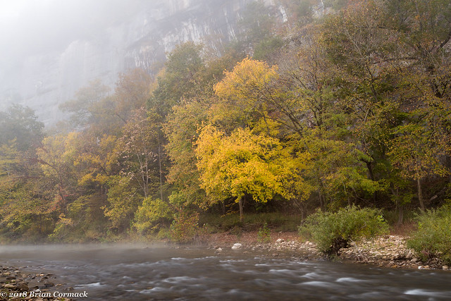
The fog was thick enough to completely block the sunrise, with only the bright fall colors popping into view along the river.

IMG_2535-2

IMG_2538-2

This is my favorite stretch of the entire Buffalo River - it was in this spot in 2013 where I proposed to Caroline (and for some reason she said yes).

IMG_2543-2

The fog finally began to clear as I hurried down the river to try to get a few more shots...

IMG_2559-2

IMG_2573 2

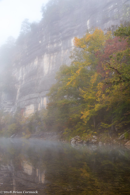
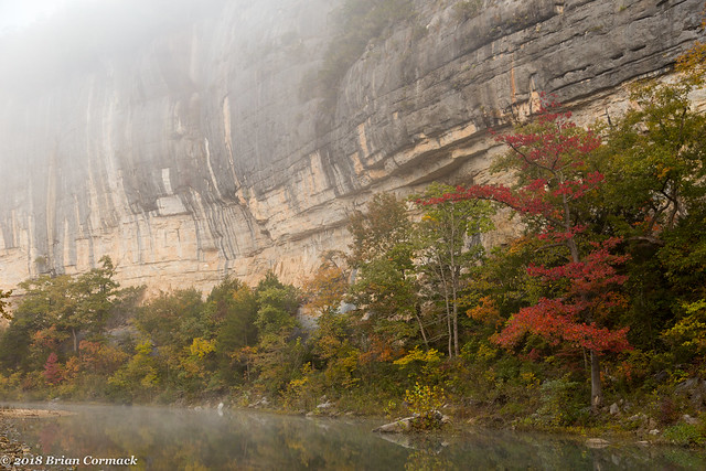
Another view of Roark Bluff, which is the longest bluff along the river. The bluff stretches for about a three-quarters of a mile and is about 200 feet tall.

Roark Bluff

IMG_2659-3

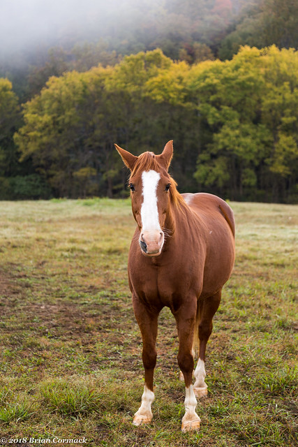
Steele Creek is also home to an equestrian camp, and two horses were out in a field also enjoying the view. This one didn't seem to mind posing for a few pictures.

IMG_2673-3

And one last shot from here, before I headed off to Boxley Valley. This is the view of where Steele Creek actually flows into the Buffalo River.

IMG_2674-3

Tuesday, October 30, 2018

Up to the Buffalo River

Last week, Caroline and I decided to celebrate our fifth anniversary(!) by renting a cabin for a few days up by Jasper. It was a perfect location - quiet and peaceful, and just close enough to the Buffalo River and to the Ozark Cafe and the Low Gap Cafe. So we first drove to Searcy to deposit Jonah with family, and we headed up into the Ozarks on a bright and sunny day. We were both pleased to see that the fall colors grew more intense as we headed up higher into the mountains.

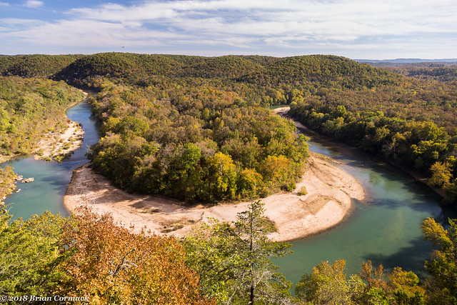
We drove up Hwy. 65, and made the short detour to Gilbert and then to the Red Bluff Overlook. The view there is incredible, showcasing a horseshoe bend along the Buffalo River.

IMG_2261-2

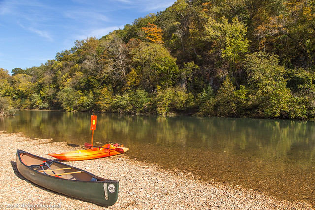
We headed over to the river at Gilbert, where the recent rains had gotten the water up high enough to float. It looked like a few people had taken advantage of the water and had recently finished a float.

IMG_2317-2

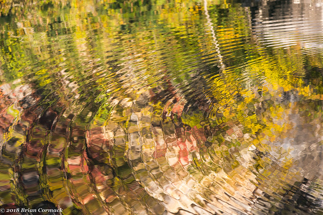
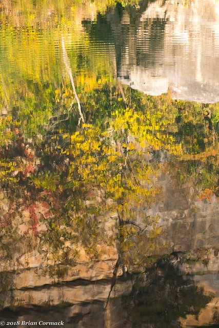
From there we headed further on, and eventually crossed the river again at Hasty. We got out and stretched our legs here, and headed down to the river. Here's a view of the fall colors, reflected in the river.

IMG_2358-2

IMG_2369-2

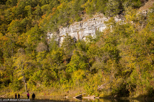
And here's a non-ripply view of the river and the fall colors, with some people walking along the river thrown in for scale.

IMG_2381-2

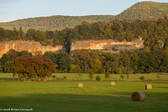
From there, we headed over and finally arrived at the cabin. The cabin sat along Hwy. 327 which heads southwest out of Jasper towards the small town of Parthenon. Of all the times I've driven around Jasper, I've never been on this road and I was surprised at how amazingly scenic it was. The road follows the Little Buffalo River, passing by farms and fields and a valley carved by the river. One definite highlight were these tall bluffs along the Little Buffalo, jutting up above a pasture.

IMG_2417-2 3

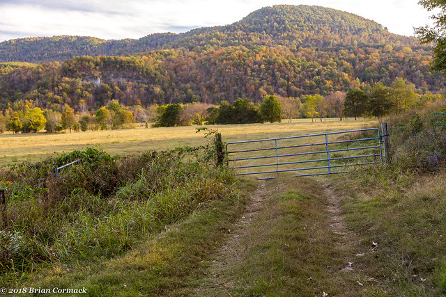
Just down the road was this view, of another pasture with a tall mountain looming over it.

IMG_2447

The next stop was Parthenon, a small unincorporated community. In the middle of Parthenon is the old General Store, which I assumed was abandoned but I later read that someone actually lives there (I have no idea if that's true though).

IMG_2460-2

The store managed to survive an EF2 tornado that passed right through Parthenon last year. The twister destroyed the post office, which you can see the rebuilt one in the background of this picture.

IMG_2466-2

After this we headed into Jasper for dinner at the Ozark Cafe, and then I'd wake up the next morning and head out to a foggy Buffalo River for a few pictures. More on that soon....

Sunday, October 28, 2018

Baring Cross

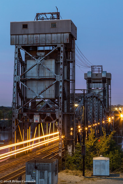
There are six bridges crossing the Arkansas River between the downtowns of Little Rock and North Little Rock, and the first one to be built was the Baring Cross Bridge in 1873. That bridge stood until 1927, when most of the bridge was washed away by a massive flood. Just two years later, a new Baring Cross Bridge was built. That bridge is still in use today by the railroad, the only old bridge in Little Rock that is still used for trains (the other two are now pedestrian bridges).

This is a view of the bridge from last week, showing a streak of light from a train slowly making its way across the bridge. From here the trains pass under Cantrell Road and then rumble on towards Union Station.

StarStaX_IMG_2237-IMG_2241_lighten-Edit 2

Saturday, October 27, 2018

Capitol Avenue

I was recently given permission and the opportunity to take a few pictures from a few spots in downtown Little Rock, both of which just happened to provide views overlooking Capitol Avenue. One of the buildings is perched right on the corner of Main and Capitol, providing this view looking off towards the west. In the distance is the Simmons Tower and the Arkansas State Capitol.

IMG_2143 3

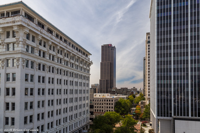
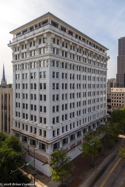
At the opposite corner of the intersection is the Boyle Building, which was built in 1909. At eleven stories (a twelfth floor was added in the 1940s) it was the tallest building in the state. It held that distinction until the nearby Donaghey Building was built in 1926. The building is currently empty, although there are plans to convert it into apartments or a hotel.

IMG_2153-2 3

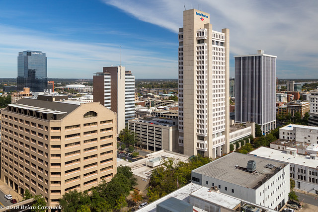
A few blocks away is the Simmons Tower, which is currently the tallest building in Arkansas at 40 stories. This is the view from the 15th floor of the building looking east towards Capitol Avenue.

IMG_2182 3