Showing posts with label Pulaski County. Show all posts

Monday, July 10, 2023

Got You Covered

Just outside of the suburban sprawl of west Little Rock sits this little covered bridge, which crosses a peaceful and quiet little creek.

P6270299

It's close enough that I can hurry over on my lunch break to take a few pictures, on a day when it wasn't too painfully hot to be outside.

P6270323

Tuesday, August 16, 2022

On The Edge

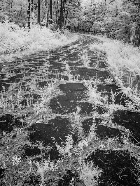
Pulaski County is surprisingly large. It stretches from the flat lands of the Delta in the southeast to the rolling hills of the Ouachitas in the far west, with a bunch of city stuff in the middle. And one day we made a quick drive out to the far western edge of the county, where the suburban sprawl gives way to Lake Maumelle and forests. Along the way there was a pull-off next to this abandoned stretch of road, with grass and weeds sprouting up from cracks in the pavement.

Untitled

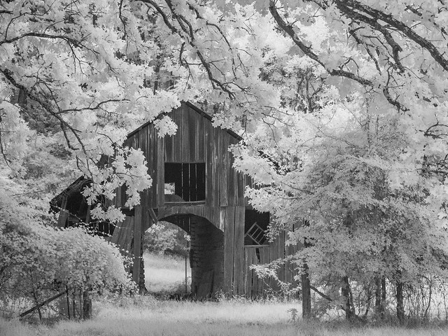
And we soon stopped to get a shot at this old barn that sat behind an abandoned house.

Untitled

Thursday, December 2, 2021

Pulaski Part Two

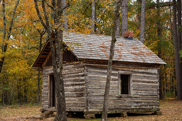
Fall colors this year have been surprisingly resilient, so here are a few more pictures of the trees showing off around Pulaski County. One weekend I hurried over to Burns Park, which had some nice colors still lingering around this old cabin. It was built in the 1850s and is actually the oldest standing structure in North Little Rock.

IMG_4220

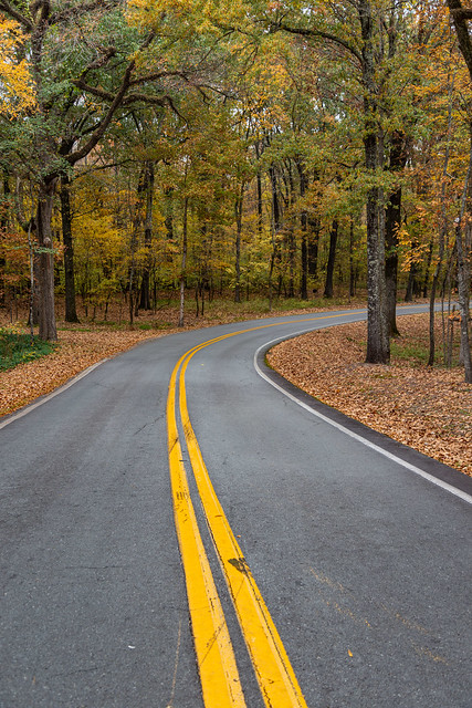
And just down the road I pulled over and got these pictures. Luckily there wasn't much traffic out there that afternoon.

IMG_4238-2

IMG_4248

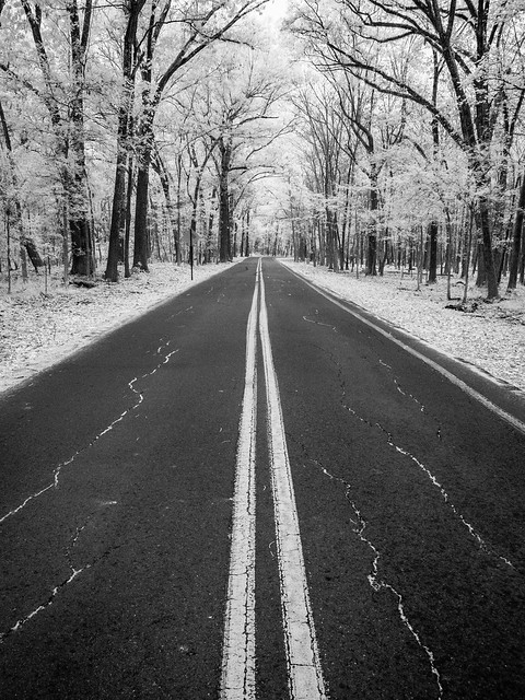
And the view with the infrared camera:

PB210010

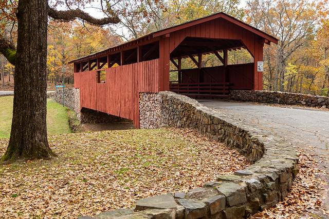
Further down the road is the park's covered bridge, which also had some nice lingering fall color.

IMG_4298

IMG_4290

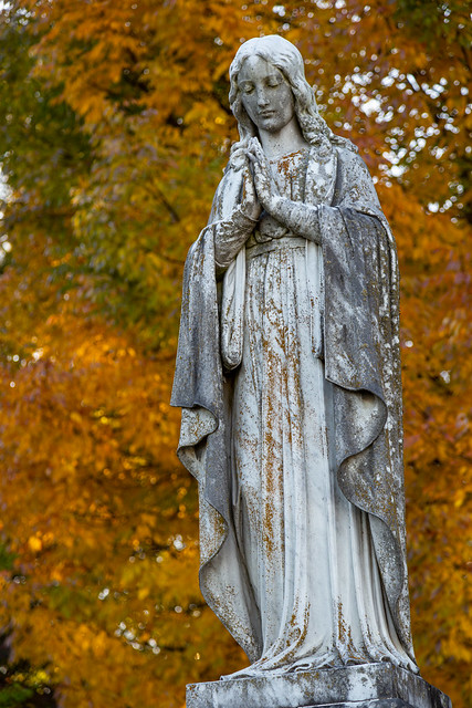
Another day, I headed to downtown Little Rock and made a quick stop at the historic Mt. Holly Cemetery. It was quick only because I didn't realize I was there right before it closed, so I only got a few pictures before the proctor was escorting people out of the cemetery so he could lock the gate. But I had just enough time to get these pictures of the fall colors behind these old marble statues.

IMG_3308-2

IMG_3328-2

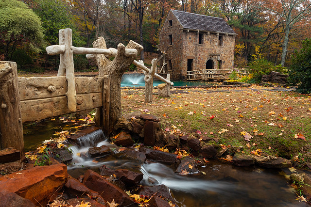
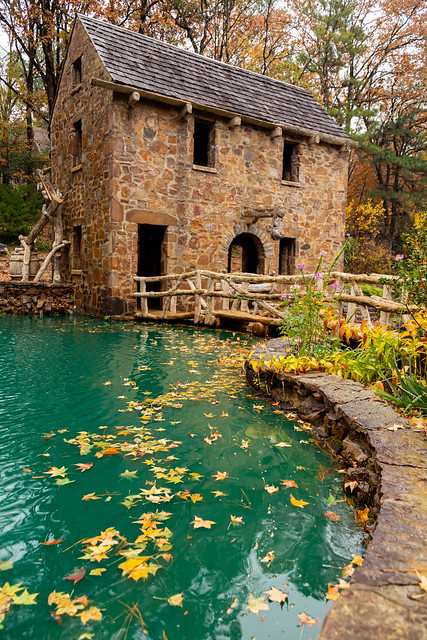
These statues were actually at the grave of Justin Matthews, the real estate developer who designed several prominent neighborhoods in North Little Rock. He was also the person who decided to build the landmark Old Mill. So it makes sense that our next pictures take us across the river to see the fall colors at The Old Mill:

IMG_4471

Most of the trees there had already lost most of their leaves, which were on the ground or sitting in the bright green waters by the fountains.

IMG_4469

From the Old Mill, I drove the car down Snake Hill and ended up at one of the many lakes in the Lakewood neighborhood. This one was reflecting some nice color in the trees.

IMG_4442

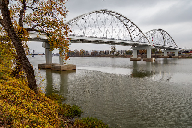
It was actually surprising where you would end up finding good fall color, like here along the Arkansas River near the new Broadway Bridge.

IMG_4326

Or behind the State Capitol in what's called the Capitol Mall (which apparently has no place to do Christmas shopping or even a food court).

IMG_4348

And lastly, there was even some fall colors shining out in the midst of the tall bank buildings along Capitol Avenue.

IMG_4388

IMG_4385

Tuesday, November 30, 2021

Pulaski

This year has turned out to be a pretty spectacular year for fall colors. Not only were the colors vibrant, but they seemed to stick around a lot longer than they have in years past. They've stuck around long enough that you can see fall colors now mixed with Christmas decorations. So here are a few pictures of some fall colors, taken around Pulaski County. Perhaps the best place to start would be from the top of the tallest peak in the county - Shinall Mountain. The mountain is 1,068 feet tall, and is home to several massive TV and radio towers that stand on its summit. From the top you have this view of Pinnacle Mountain, which is the second tallest peak in the county (it reaches a mere 1,013 ft).

IMG_2960-2

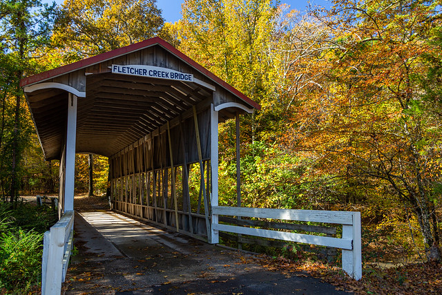
About 400,000 people live in Pulaski County, and yet there are still many places that are rural and lightly-populated (it helps that the county is big, and stretches from the edge of the Delta to the foothills of the Ouachitas). This old covered bridge sits hidden away down a country road...
IMG_3032-2

IMG_3045

This more modern bridge nearby was reflected in the waters of the Little Maumelle River.

IMG_3099-2

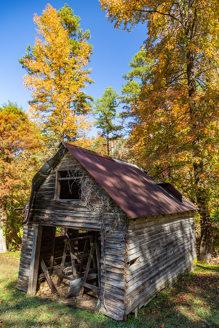
And along another rural road was this old barn...
IMG_3110-3

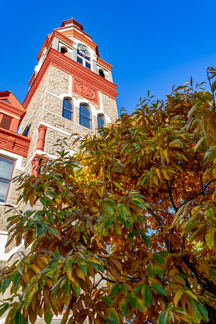
In downtown Little Rock there is the county courthouse, which was built in 1887.
IMG_3289

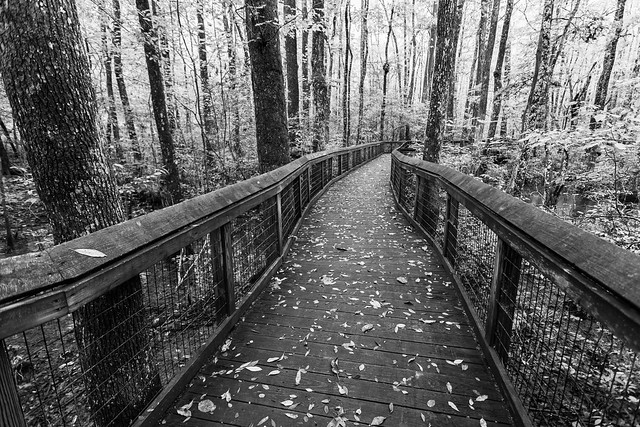
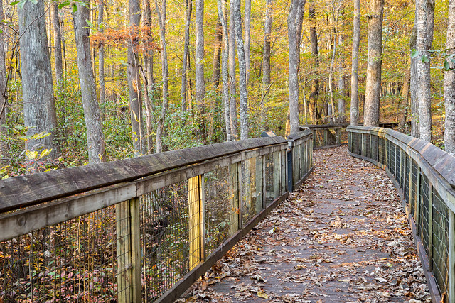
On the eastern and southern edges of the county, you can find the swampy and flat lands of the Delta. One great place to visit is the Lorance Creek Natural Area, which protects a shallow groundwater-fed swamp.
IMG_3470

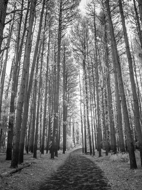
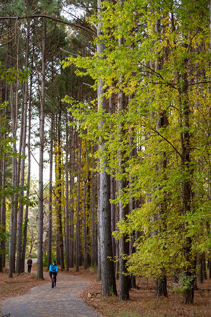
On the edge of Little Rock is Two Rivers Park, which contains about 1000 acres at the confluence of the Arkansas and Little Maumelle Rivers. Several miles of trails cross the park, including this popular trail that runs beneath these towering pine trees.
IMG_3667

And then with the infrared camera:

PB140223

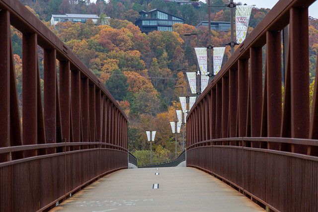
I headed back out to Two Rivers Park a few days later, and got this shot from the bridge that spans the Little Maumelle River. It makes you wonder how expensive those homes up on the hillside are.
IMG_4115

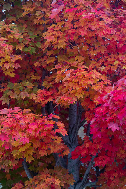
And finally, in the plaza at the base of the bridge was this one tree that shined brightly on the otherwise overcast day:
IMG_4073

Thursday, December 10, 2020

Lorance Creek

A few weeks back I made another visit to the Lorance Creek Natural Area with the hopes of catching some good fall color on the cypress and tupelo trees there. But my timing was off, and almost all of the leaves had already fallen off the trees. There were a few good patches of color still clinging on, mostly on some of the oak trees.

IMG_7096-2

The sky provided another nice bit of color, it was close to sunset and the creek was reflecting some colorful clouds floating above.

IMG_7109-Edit

The fallen leaves ended up in Lorance Creek,  flowing along past the tall trees. At one point, the leaves got caught in the current and swirled around. This was taken when it was nearly dark, with a long exposure capturing the motion of the leaves as they slowly floated around in circles.

IMG_7119-2

Tuesday, October 13, 2020

Lorance Creek

One great thing about living in Little Rock is that while it is a big city (by Arkansas standards), there are still lots of places that you can easily get to and see nature. One such place is the Lorance Creek Natural Area, which is just a short drive from downtown. 

IMG_5758

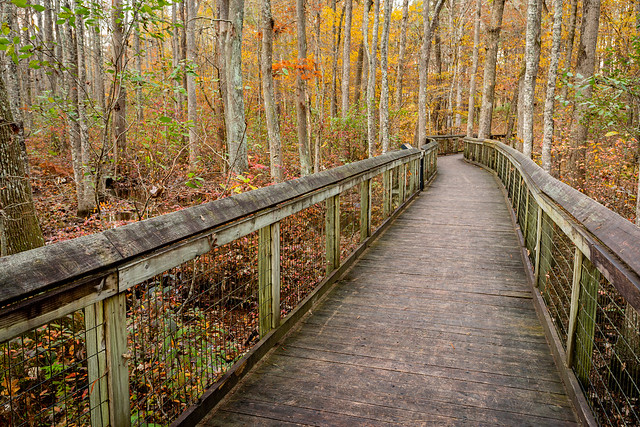
The Natural Area is jointly owned and managed by the Nature Conservancey and the Arkansas Natural Heritage Commission. The 390 acres of the Natural Area preserve a shallow, groundwater-fed swamp. A short, paved trail (ADA accessible) first cuts through an upland pine-oak forest before a wooden boardwalk stretches out over the swamp. From there you have a great view of a mosaic of cypress and tupelo trees. 
 
IMG_5828-2

In fact, you can find over 600 species of plants here, along with 125 bird species and 25 reptile and amphibian species (along with countless mosquitoes). 

IMG_5843-2 

IMG_5792