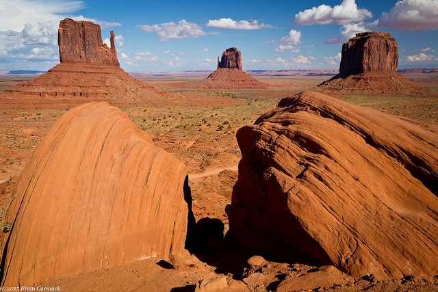
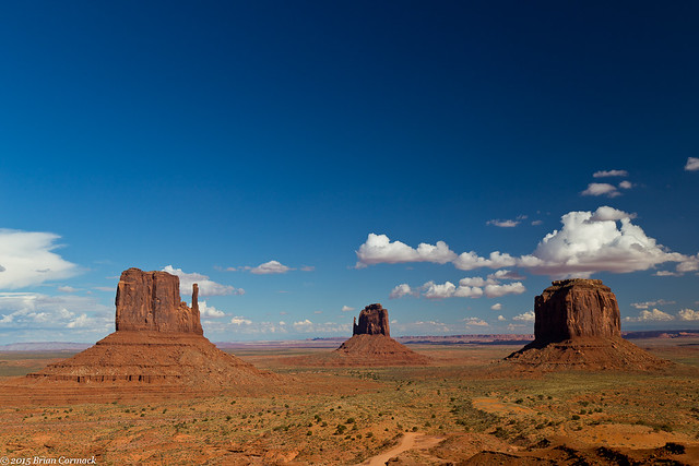
After we finished our Antelope Canyon tours, it was time to check out of the hotel and start heading back home to Arkansas (only 1,270 miles away!). It would be a long drive, but there were a few iconic places that we would be passing by along the way. After a few hours of driving, we took a small detour and headed north into Utah and visited Monument Valley. Located on Navajo tribal land, Monument Valley is the famous collection of sandstone buttes that have been featured in countless films and been the subject of millions of pictures.
Once you look past the crowded parking lot and the RVs, it’s easy to feel like you’re on the set of a Western movie. John Wayne could easily trot by on a horse. I admit to doing some photoshop here to get rid of the graffiti on the rocks in the foreground, which were carved there by some idiots.
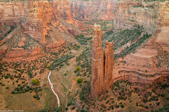
We headed out and trekked across Arizona, driving southeast. A few hours later, we drove by Canyon de Chelly National Monument, and made another short detour to visit the park. Canyon de Chelly is also part of the Navajo Nation, and a guide is required if you journey into the canyon. But there are a series of overlooks along the rim of the canyon that can be visited without a fee or guide. It was close to sunset, so we just barely had time to drive to the Spider Rock overlook before dark. This overlook provides a grand view of the Spider Rock, a tall 750 foot sandstone spire that rises from the canyon floor. Traditional Navajo belief is that the rock is home to the Spider Grandmother, the creator of the world.
We left the park as it was getting dark and continued on, eventually reaching our stop for the night in New Mexico. Early the next day we got up and drove all the way back home to Little Rock. It was a long day of driving, but we listened to the audio book of Ready Player One which really helped pass the time. That night, we finally arrived at the house, after driving a grand total of 3200.4 miles over the course of nine days. After unpacking, I started to look through all the pictures and then wished I could take another week off from work so I could work on them all.
Monday, November 30, 2015
Sunday, November 29, 2015
Lower Antelope Canyon
One place that we really wanted to visit while in Arizona was Antelope Canyon - the very popular slot canyon that you've probably seen before in either countless photographs or that one Britney Spears video. It's one of the most photographed places in the West, and with good reason. The inside of the canyon is stunning. It is also over-crowded and a true pain to take pictures in. But earlier this year, a photographer sold a print from Antelope Canyon for an obscene amount of money, so I'm waiting for someone to spend a few million on these photos!
To tour Antelope Canyon you have to book a tour with one of several tour groups that operate with the Navajo Nation (the canyon is on Navajo land, and each tour must be accompanied by a Navajo guide). As soon as we had the date for our trip picked out, I called to book our tour. Now you can do two different tours, a regular tour and a photographer's tour. The photographer's tour is longer and you can use a tripod. But by the time I called, all of the photo tours had long been booked.
Then I realized that there is actually two Antelope Canyons, an Upper and a Lower. The Upper is the more popular section of the canyon since it is easier to walk around in. The Lower Canyon has some steep ladders and it can be more narrow. But there were some openings still for the Lower Canyon photo tours, so I quickly booked one. The ladders and narrow walls were too much for a pregnant person, so Caroline did the Upper Canyon instead (which she says was incredible).
But we almost didn't get to do the tour. Some heavy rains led to some flash flooding in the Canyon, and it was closed for several days. My original tour was cancelled, but luckily they would open up the next day. Since we were about to leave Page and drive home, we just barely had enough time to squeeze in our tours. So early the next morning, we both left to visit the Canyon. The entrance to the Lower Canyon is indeed steep, with several tall ladders heading deep below ground.
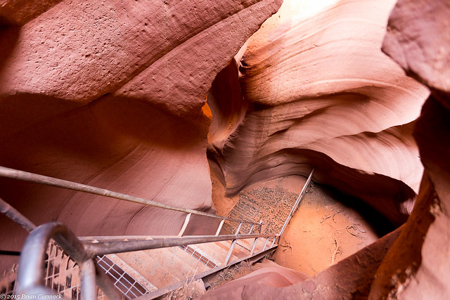
There were only two other people on the photographer's tour, and we were led by a Navajo guide. The guide would point out different spots to take pictures, and then stood around watching as we tried to take pictures. If any other tour groups would come through she would escort them around us and even chastise them for using the flash on their cameras.
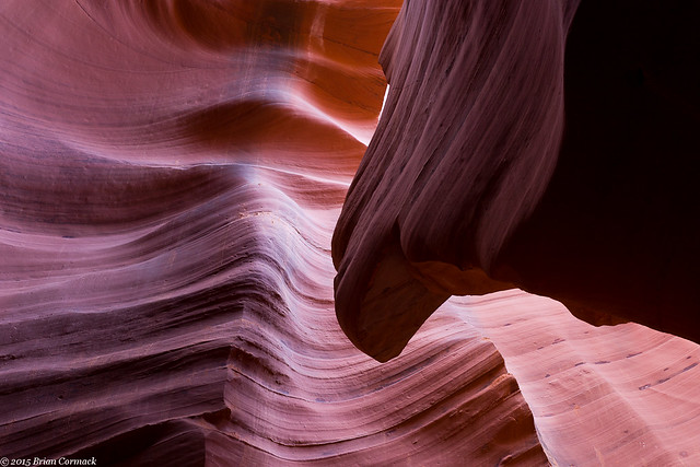
While there were only two other photographers on the tour, it was impossible to keep from getting in each others way. One of the photographers would stick her tripod right in the middle of a room, and would stay there the entire time we were there. And it seemed like just as soon as I got a shot set up, the other photographer would stroll up and then stand right where I was trying to take pictures. I'm sure I also messed up a bunch of their shots. The canyon is narrow and there isn't much room to move around.
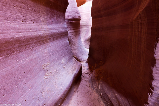
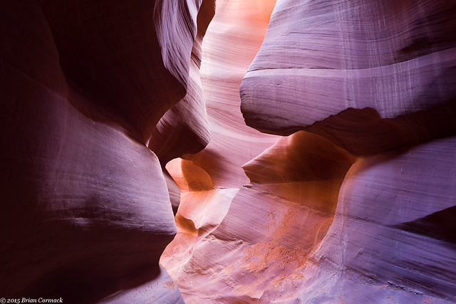
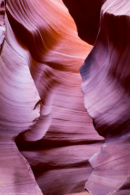
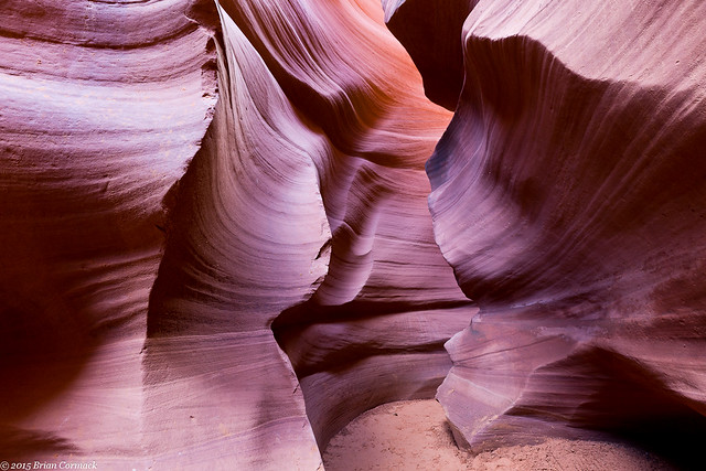
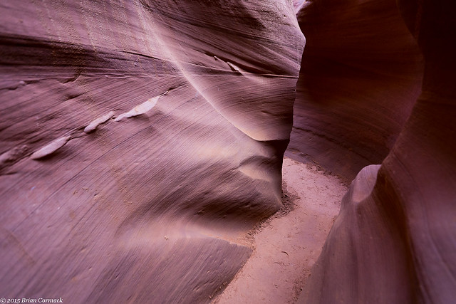
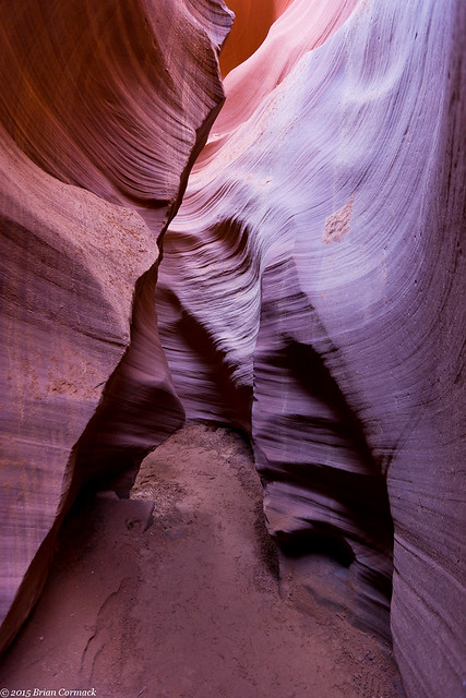
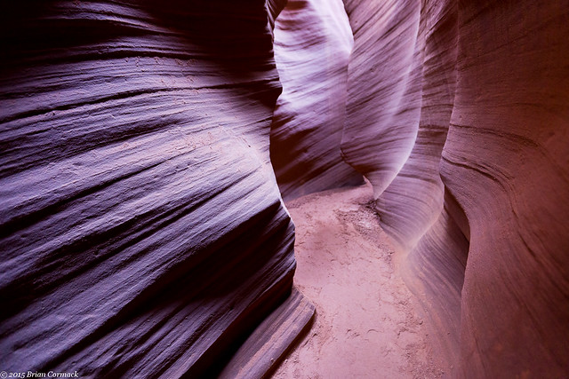
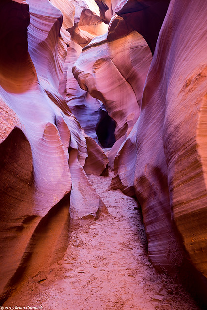
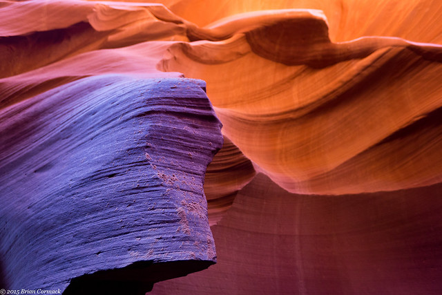
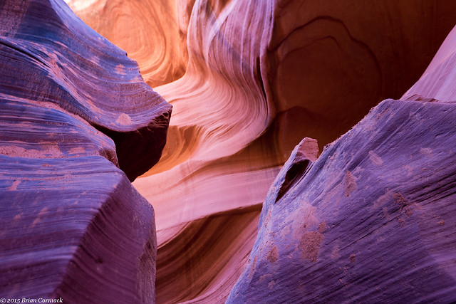
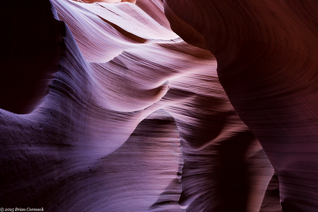
The Lower Antelope Canyon is called Hazdistazí by the Navajo, which means "sprial rock arches." The canyon was formed by erosion, with flash floods over eons carving out the canyon and creating the soft flowing curves on the walls.
My tour guide said that after the flooding earlier, the water in the Canyon was about waist-deep and it took awhile it to dry out enough to get everything cleaned up.
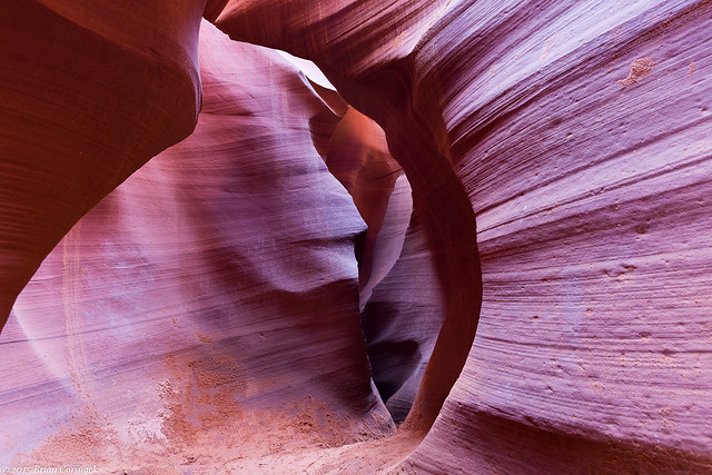
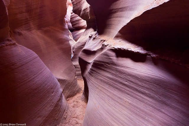
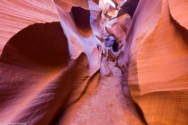
There are a lot of shapes and curves that have been carved into the rock. Here the canyon created a delicate arch. I tried to get a good picture of the entire archway but one of the other photographers came in and put her tripod right at the bottom of it. So I zoomed in to crop her out and got this shot instead.
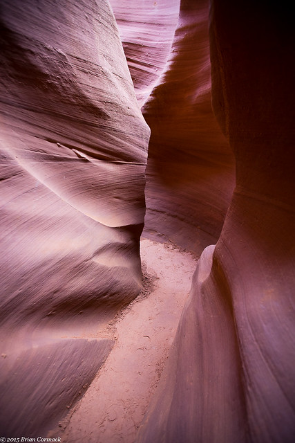
At one point the canyon got so narrow that there wasn't room to set up a tripod, and you'd hope that no one would try to walk by when you're taking a picture.
I'm not entirely sure that the two other photographers on the tour spoke English, so the guide had a hard time communicating with them. We only had two hours in the canyon, and we had eaten up a lot of that time. But one of the other photographers was taking so long that we eventually left her, with the guide occasionally backtracking to make sure she was ok.
Antelope Canyon is famous for the beams of light that shine through the canyon, but we weren't there at the right time for that. The beams appear in the summer, when the sun is highest in the sky. But it's kinda good that we were there at the wrong time because the crowds weren't as bad.
Time went by really quickly, and we were soon nearly at the end of the tour.
And then we reached the end, and headed up some stairs and through a narrow crack in the rock to exit the canyon. This is the spot where you climb out, with the guides saying "Watch your head" over and over.
After that we packed up our stuff and checked out of the hotel, and started the long drive back to Arkansas. But there were a few more places that we were planning on seeing along the way...
To tour Antelope Canyon you have to book a tour with one of several tour groups that operate with the Navajo Nation (the canyon is on Navajo land, and each tour must be accompanied by a Navajo guide). As soon as we had the date for our trip picked out, I called to book our tour. Now you can do two different tours, a regular tour and a photographer's tour. The photographer's tour is longer and you can use a tripod. But by the time I called, all of the photo tours had long been booked.
Then I realized that there is actually two Antelope Canyons, an Upper and a Lower. The Upper is the more popular section of the canyon since it is easier to walk around in. The Lower Canyon has some steep ladders and it can be more narrow. But there were some openings still for the Lower Canyon photo tours, so I quickly booked one. The ladders and narrow walls were too much for a pregnant person, so Caroline did the Upper Canyon instead (which she says was incredible).
But we almost didn't get to do the tour. Some heavy rains led to some flash flooding in the Canyon, and it was closed for several days. My original tour was cancelled, but luckily they would open up the next day. Since we were about to leave Page and drive home, we just barely had enough time to squeeze in our tours. So early the next morning, we both left to visit the Canyon. The entrance to the Lower Canyon is indeed steep, with several tall ladders heading deep below ground.
There were only two other people on the photographer's tour, and we were led by a Navajo guide. The guide would point out different spots to take pictures, and then stood around watching as we tried to take pictures. If any other tour groups would come through she would escort them around us and even chastise them for using the flash on their cameras.
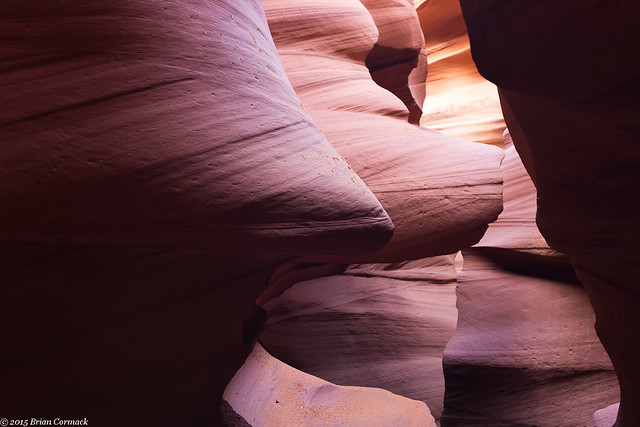
While there were only two other photographers on the tour, it was impossible to keep from getting in each others way. One of the photographers would stick her tripod right in the middle of a room, and would stay there the entire time we were there. And it seemed like just as soon as I got a shot set up, the other photographer would stroll up and then stand right where I was trying to take pictures. I'm sure I also messed up a bunch of their shots. The canyon is narrow and there isn't much room to move around.
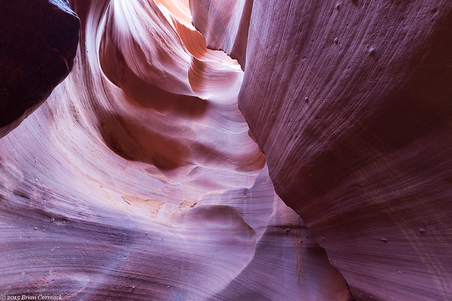
The Lower Antelope Canyon is called Hazdistazí by the Navajo, which means "sprial rock arches." The canyon was formed by erosion, with flash floods over eons carving out the canyon and creating the soft flowing curves on the walls.
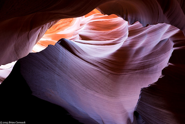
My tour guide said that after the flooding earlier, the water in the Canyon was about waist-deep and it took awhile it to dry out enough to get everything cleaned up.
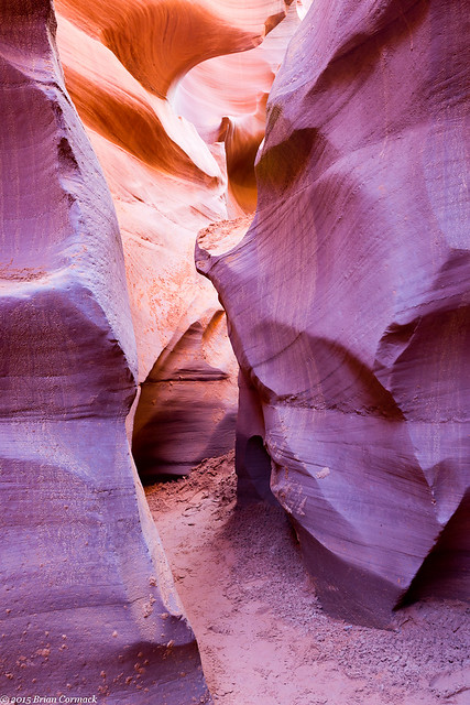
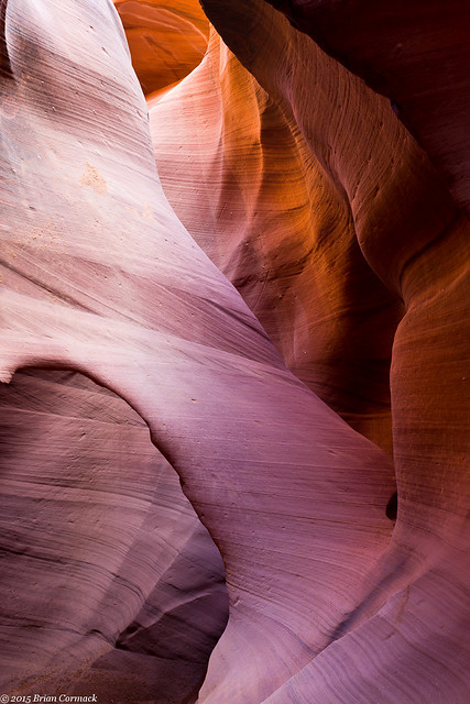
There are a lot of shapes and curves that have been carved into the rock. Here the canyon created a delicate arch. I tried to get a good picture of the entire archway but one of the other photographers came in and put her tripod right at the bottom of it. So I zoomed in to crop her out and got this shot instead.
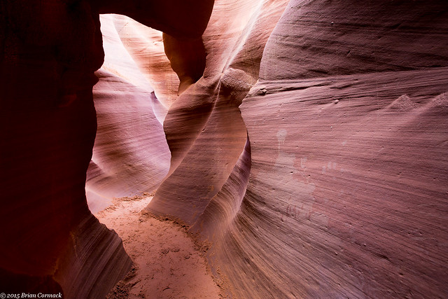
At one point the canyon got so narrow that there wasn't room to set up a tripod, and you'd hope that no one would try to walk by when you're taking a picture.
I'm not entirely sure that the two other photographers on the tour spoke English, so the guide had a hard time communicating with them. We only had two hours in the canyon, and we had eaten up a lot of that time. But one of the other photographers was taking so long that we eventually left her, with the guide occasionally backtracking to make sure she was ok.
Antelope Canyon is famous for the beams of light that shine through the canyon, but we weren't there at the right time for that. The beams appear in the summer, when the sun is highest in the sky. But it's kinda good that we were there at the wrong time because the crowds weren't as bad.
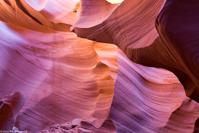
Time went by really quickly, and we were soon nearly at the end of the tour.
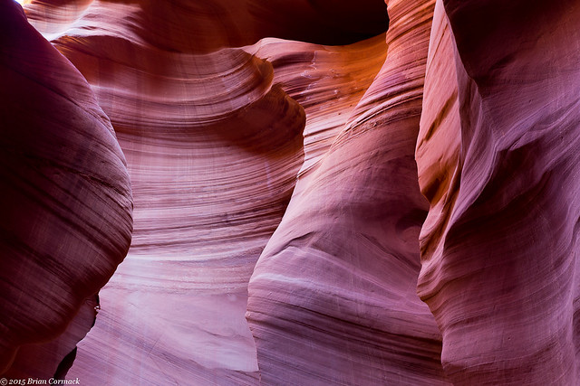
And then we reached the end, and headed up some stairs and through a narrow crack in the rock to exit the canyon. This is the spot where you climb out, with the guides saying "Watch your head" over and over.
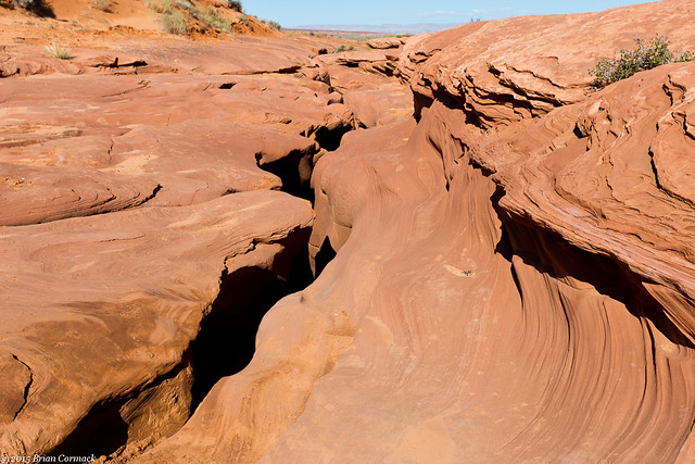
After that we packed up our stuff and checked out of the hotel, and started the long drive back to Arkansas. But there were a few more places that we were planning on seeing along the way...
Saturday, November 28, 2015
Page and Horseshoe Bend
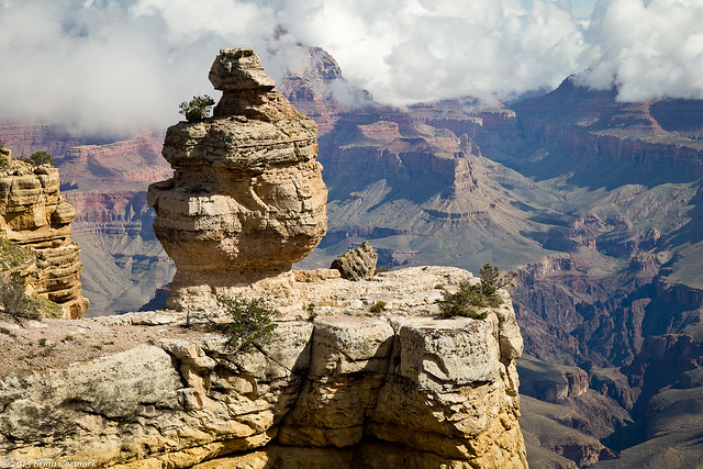
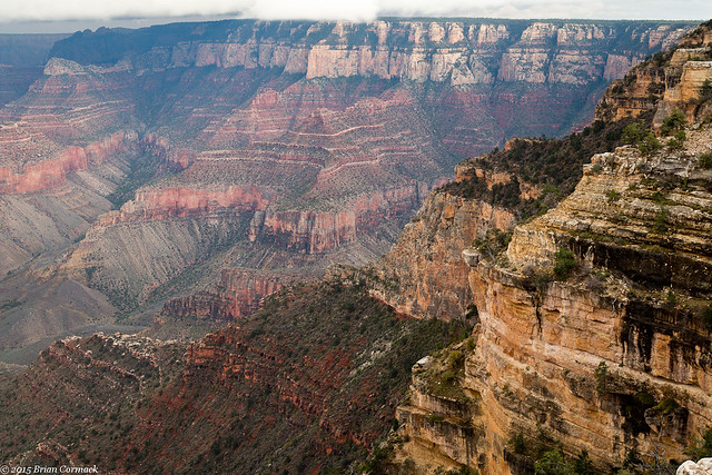
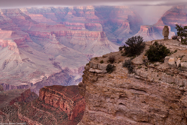
The next day we needed to drive to Page, Arizona. And I can honestly say that it was one of the prettiest drives I've ever done. Of course it helped incredibly that the quickest way from our hotel to Page required a drive through the Grand Canyon National Park. So we again drove back into the park (thankful that the $30 entrance fee is good for several days), and headed out along the Desert View drive. It was impossible to resist stopping at the overlooks again as we made our way through the park. This is the overlook with the Duck On A Rock.
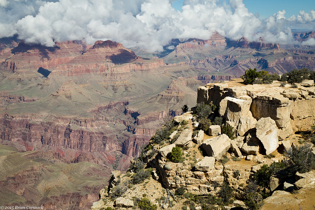
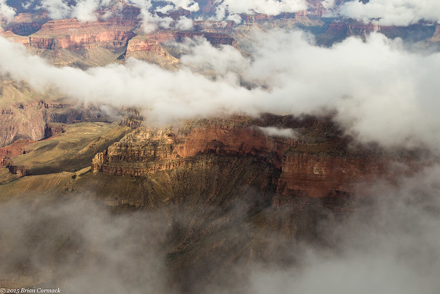
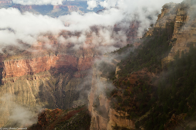
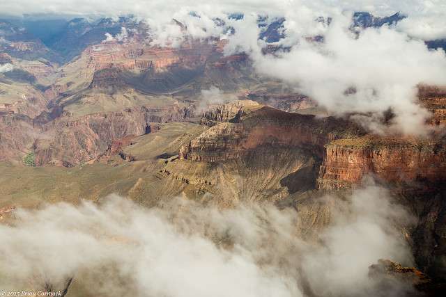
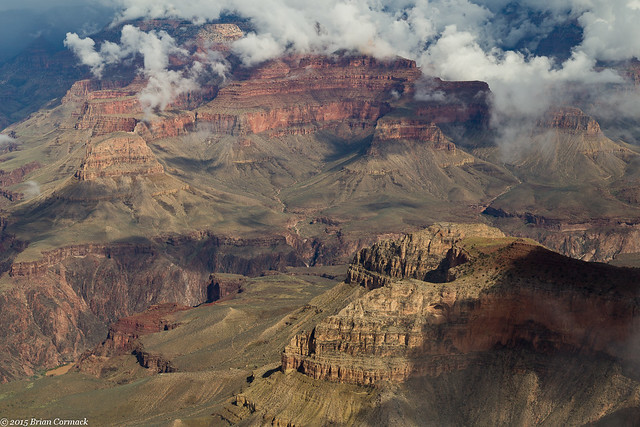
And at another overlook. The bright sun was a little too harsh for pictures, but some big fluffy clouds drifted along the opposite Canyon rim.
We eventually left the park and headed east on Hwy. 64, which would actually run alongside a deep canyon carved by the Little Colorado River. It was incredibly scenic, but wasn't developed as a park. It wasn't as tall as the Grand Canyon, but was still pretty. If that canyon was in any other state, it would be a popular state or national park. But because it sits right outside of the Grand Canyon, it's overlooked.
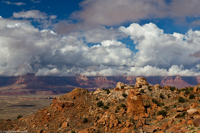
We turned onto Hwy. 89 and headed north, towards Page. This road also passes by mountains and buttes, and was really scenic. When we planned this trip, we had no idea that this drive would be so pretty.
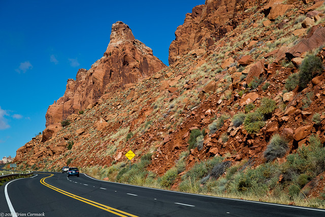
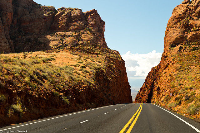
At one point the road headed up a steep mountain and then passed through this deep cut in the rock.
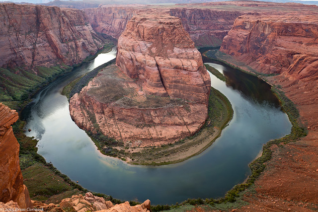
After arriving in Page, we checked into the hotel. I headed out to visit Horseshoe Bend (Caroline opted not to, being pregnant and all). Horseshoe Bend is a popular and oft-photographed spot along the Colorado River. It's located just outside of Page, so I was able to quickly drive there (after a quick stop to buy more memory cards, I had gone through all of my memory cards already). The parking lot was full, with all sorts of people heading to the bend.
The trail to Horseshoe Bend is about a mile and a half, and goes up and down a hill (which isn't fun when you're not used to the elevation). The overlook was crowded, with a few photographers and tripods perched on the edge. And also with a bunch of people trying to take selfies with the river in the background. Like at the Grand Canyon, many of the people there appeared to be foreign, with several different languages being spoken by the crowd. I even heard a woman actually say, in French, "ohh la la!" I had several people ask me to take their picture, but it appeared that the one word that broke through the language barrier and that was universally spoken was "selfie."
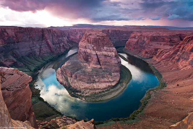
I found a spot, and set up my camera and tripod. I've seen thousands of pictures of this view, and they did not prepare me for the sheer scale of this view. It is huge, and you really need a wide angle lens to get it all in (thanks to my friend John for letting me borrow his!). The river is 1000 feet below, and there is no guard rail.
A storm moved through in the distance, dropping some rain and partially hiding the sunset.
I stayed until it was starting to get dark, and got a shot of Horseshoe Bend when all the light was a bit more even.
I headed back when it was nearly dark, and drove back to the hotel. But we'd be getting up early in the morning to visit another classic photography location in Page....
Tuesday, November 24, 2015
Grand Canyon - Shoshone Point
The Grand Canyon is a very popular national park, and it can sometimes feel a bit crowded. While the crowds weren't nearly as bad as in the summer, there were still times when we had to dodge large groups of tourists at some of the shuttle stops and overlooks. But luckily there is one overlook that is not marked, and not very well known. The Park uses it for weddings and special events, but when there isn't anything going on it is open to the public. But the parking area isn't marked, so many people drive right past it.
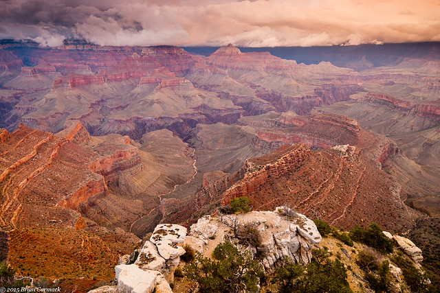
It is called Shoshone Point, and it's on the South Rim near Yaki Point. I drove out there before sunset, and started on the mile hike to the overlook. When I reached the edge of the Canyon, there wasn't anyone else there. The only sound was the wind and a few birds.
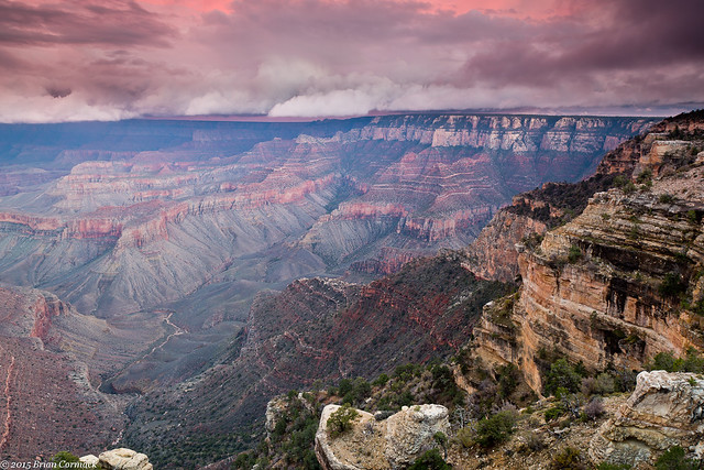
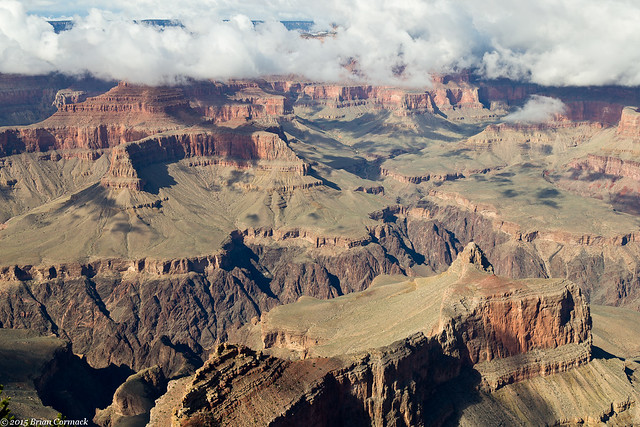
As the sun began to set, the sky erupted in color. The low clouds that had been hanging onto the distant rim all day changed from white to blue to gray to orange. It was hard to know which direction to point the camera at.
In the foreground is Newton Butte, with clouds hugging the top of the canyon in the background.
Two other hikers came in, and sat and enjoyed the view as well. We were the only ones out there, which is a small number of people to be sharing such a wide and vast view.
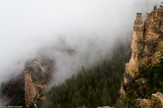
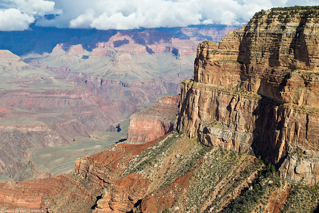
The two other hikers left as it started to get dark, but I lingered there as long as I could trying to get a few pictures. This is one of the last shots, with a solitary hoodoo standing up on the point. Low clouds (and maybe rain?) lingered along the top of the canyon wall.
It was nearly dark when I started the mile hike back to the parking area. Luckily I had thought ahead and packed a flashlight, which came in handy since it got dark very quickly. Within a few minutes I found the two other hikers, who were walking in the dark. They said they didn't think the hike would be that long and that they didn't know they would need a flashlight. So I walked with them so that neither of us would end up getting lost in the dark and walking off of the edge of the Canyon.
We made it safely back to our cars, and I headed over to pick up Caroline (who decided that hiking in the dark while pregnant might not be that great. She instead patiently waited for me in one of the park lodges). We were at the end of our time at the Grand Canyon, but we would soon be visiting a few other neat places in Arizona...
Monday, November 23, 2015
Grand Canyon - Hermit Road
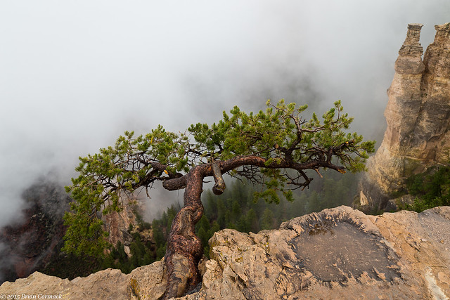
It was cold and foggy the next morning when we drove back into the National Park. It was 46 degrees, and the fog was so thick that it covered any view from the overlooks along the Rim.
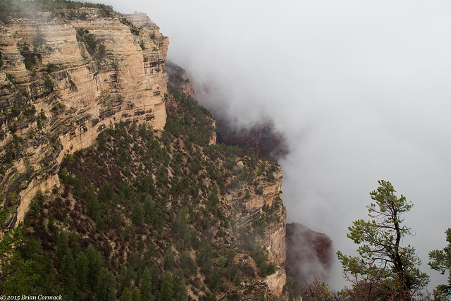
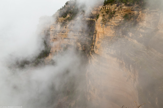
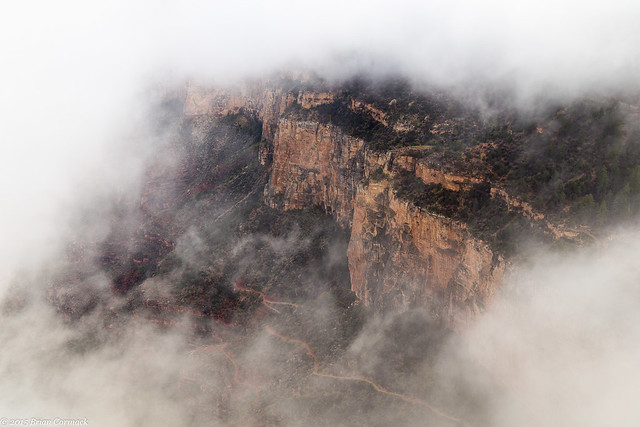
The fog was so thick that it would crash into the canyon wall and then run up and over it like a river.
Since we couldn't see much of the view, we headed to the Yavapai Observation Station at Yavapai Point. There is a museum there that covers the geology and history of the Canyon that we thought we'd check out until the fog cleared. But we were only in there for a few minutes because we could see the fog starting to break. We hurried to an overlook just as the fog lifted.
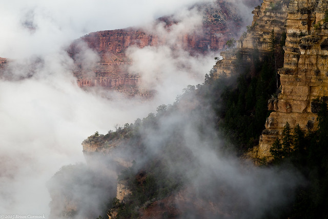
It was like a spotlight shining through the fog. The fog would dissolve away, leaving a hole that briefly provided a window to the canyon behind it. The hole would move and change, swirling and growing as the fog started to fade away.
As the sun finally broke through, the fog stubbornly clung to the sides and edges of the canyon.
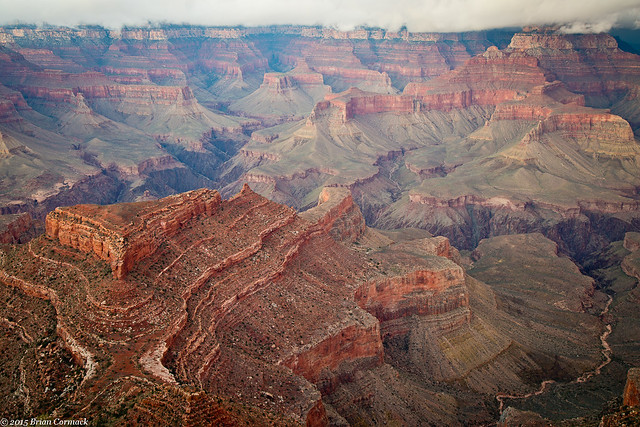
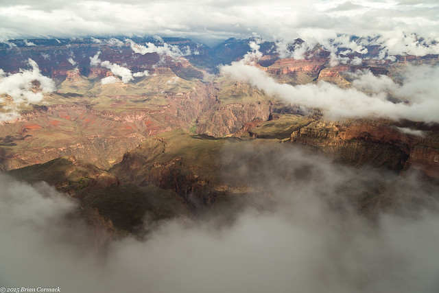
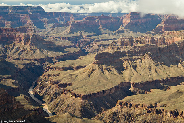
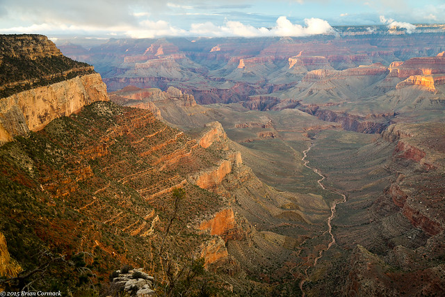
The overlook provided a wide panoramic view of the Canyon and the Colorado River, barely visible as it ran through the deep walls of the inner Canyon.
After that we hopped on another shuttle bus that would take us along the Hermit Road. This section of the canyon was at a different elevation than the Yavapai Overlook, and it was still covered in fog. On the first shuttle stop, at the Trailview Overlook, thick fog again covered up the view. We were the only ones who got off the bus, and again we got there just in time to see the fog start to clear. Here is the fog lifting, revealing the canyon wall and the zigzagging path of the Bright Angel Trail.
Within a few minutes, most of the fog had been cleared away.
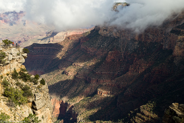
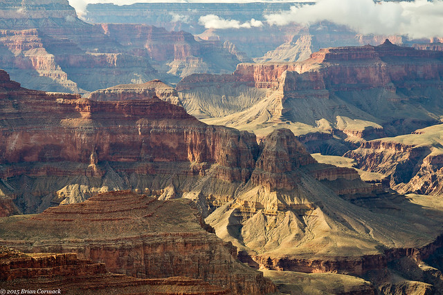
We hopped back on the bus and stopped at all of other overlooks along the road (at least the ones that were open). The fog had all been cleared out, with just some low clouds hanging around the top of the canyon on the North Rim.
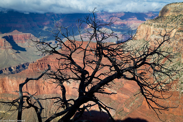
At the Maricopa Point overlook, I found this view. There was a dead tree that provided a neat silhouette against the Canyon.
The full sunlight was a little harsh in the canyon, creating some deep shadows that didn't translate well in the pictures. But we still went to each stop along the way, taking pictures and enjoying the view. Even if the pictures didn't all turn out, the view was still amazing.
We finally made it to Hermit's Rest, which was the last stop before the shuttle bus returned to Grand Canyon Village. We headed back, and then had time to make it to another great overlook in time for sunset....
Subscribe to:
Posts (Atom)