Showing posts with label Photography Art Arkansas Buffalo National River. Show all posts

Tuesday, April 15, 2008

A sunny day at Boxley Valley

Weather has been a bit wacky around here the past few weeks. Flooding, tornadoes, then more flooding, and then more tornadoes. And as of this writing there might be a frost tonight. But the benefit of all the rain is that the waterfalls are running full-tilt, so I've been trying to find a good time to make a run up to the Ozarks for some waterfall pictures.

The other week it rained just about every day. The downside of this is that I had to work, so I looked forward to the weekend when I could try to make it out there. I tried to make some plans to head up to the Ozarks, trying to hit a few waterfalls around Boxley Valley on Saturday. I tuned into the news on Friday night and saw, to my horror, that the weather was going to be sunny. This was bad news for waterfall pictures, since you want cloudy weather. But it was also good news for the people here in Little Rock, since it gave them some nice weather to clean up from the tornadoes the day before.

I cursed the sun for wanting to break out, then tried to decide if I should head out anyways. I woke up the next morning, and saw that it was still cloudy outside! Yay! I grabbed my camera gear and ran out to the car. As I drove west the clouds began to break up, but it was still mostly cloudy. I thought that if the clouds hung around a bit more I might be able to salvage some waterfalls out of the day. It was cloudy until I hit Russellville and started driving up Highway 7. As soon as I headed north, all the clouds vanished, as if by magic. I was a bit annoyed, and considered turning around. I'm glad I didn't, since Boxley Valley is a great place no matter what the weather.

My first stop was to visit Steel Creek, which is one of the best spots on the river. I was there around noon, so the light was harsh. But it was still quite scenic. The river was running high, and it was amazing to see some of the damage from the recent floods. This is a view looking in at where Steel Creek flows into the Buffalo River.
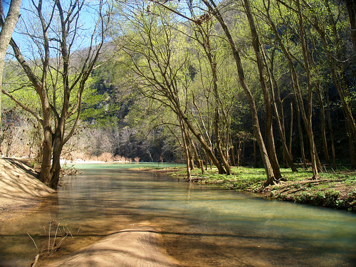
Steel Creek

I hiked on a little trail that follows Steel Creek, which was also next to the horse stables there.
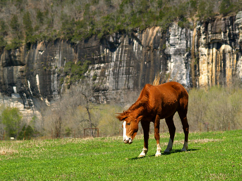
Steel Creek horse

I wondered what they did with the horses when it flooded. Where I stood to get this shot, there was debris in a tree a good eight feet above me. It must have been really crazy in this valley when the river flooded.

There are some awesome bluffs at Steel Creek, and I went by the campground to see what they looked life from there. I was really surprised to see a large waterfall running down from the bluff.
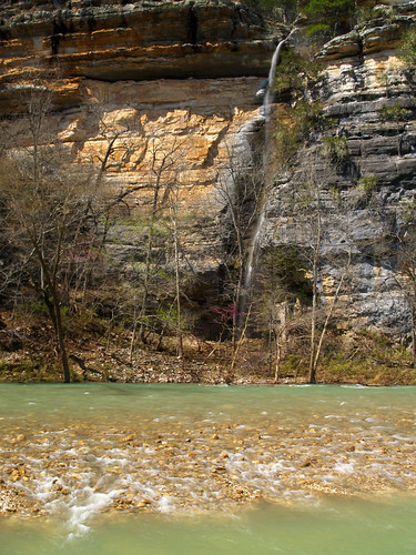
Steel Creek Falls

This isn't all that great of a shot, since it was taken in direct sunlight. But the falls were awesome. According to one of his picture books, Tim Ernst said that "This towering waterfall only comes alive when there is a big flood, and then it becomes one of the tallest waterfalls in the state."

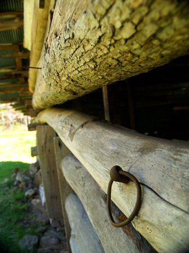
From there I headed on towards Boxley Valley. The first stop was the low-water bridge at Ponca. I went across the bridge to an old homestead site, featuring a barn and an old house dating from the late 1800's. Here are a few shots of the old barn:
Hooked

Old barn

And here is a shot of the Buffalo River from the low-water bridge at Ponca. It's hard to believe that a few days before the river was running 10-15 feet above where I stood...
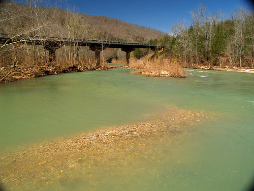
Buffalo River

There were a lot of people kayaking the river, and it would have been a good day for it.

My original plans for the day including hiking down to a neat waterfall, but since it was sunny I decided to skip that and spent my time looking around Boxley Valley. That would actually turn out to be a good idea, turns out the dirt road leading to the waterfall was washed out from all the rain a few days before.

One place I had seen pictures of in Boxley was an old springhouse, which has a cascade of water flowing beside it after heavy rains. Apparently the springhouse is right on the side of the road, but I had managed to miss it everytime I had been to Boxley. I got some directions on where to find it, but managed to drive by it several times before finally seeing it tucked back in the trees. There wasn't much water flowing past it when I was there, but it is a neat old building.
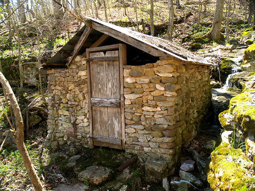
Boxley Springhouse

With it being sunny I decided to wait until it began to get dark, and then try to get a few waterfall shots. To pass the time I went to one of my favorite trails in the state, Lost Valley. I took the tripod along with me, even if I didn't think I could get any good waterfalls shots with it being sunny.

The trail is wonderful, there were flowers blooming along the trail and the creek was filled with water. I reached the "natural bridge," with its neat waterfall. But it was in full sun and none of the pictures turned out. There was a new bizarre feature along the trail, and all the hikers were laughing at it. For some odd reason, a large bra was hanging from a tree along the trail. I didn't stop to get a shot of it, but now I wish I did. It was so amazingly random.

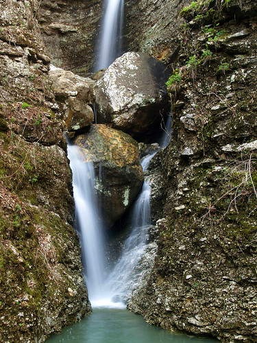
I continued on the trail, finally making it to Eden Falls. Then I was amazed to see that the falls were running quite well, and they were in shadow. Yes! I hurried down there and started taking a lot of pictures.
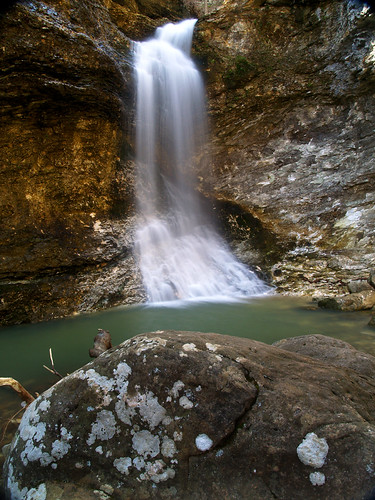
Lower Eden Falls

Lower Eden Falls

There are actually three waterfalls all next to each other on this creek. The other two are a bit harder to reach. It involves walking along a narrow ledge, then scrambling down a steep eight foot drop. I made my way down there, with some help from a few other people who must have taken pity on me while I tried to make my way there without dropping the camera. It isn't that scary or difficult to reach, and the views are amazing. The Middle and Upper Eden Falls both meet up in this little area, just above the top of the Lower Eden Falls in the above pictures.

Middle Eden Falls:
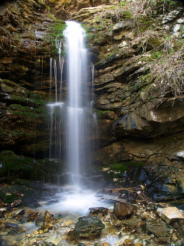
Middle Eden Falls

And Upper Eden Falls:
Upper Eden Falls

Both of these falls are close together. I thought it was cool that you could get both in the same shot...
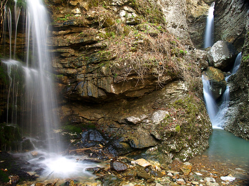
Middle & Upper

And a close-up view of Middle Eden Falls:
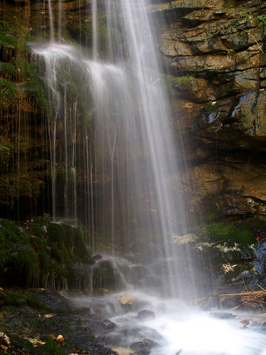
Middle Eden Falls

Middle Eden Falls is formed from the waters that exit out of a nearby cave. The Lost Valley trail ends at the mouth of the cave, and you can crawl back about 100 feet and find a 30-foot waterfall inside the cave. I didn't bring a flashlight with me, so I didn't go through. It is really neat inside there...

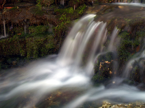
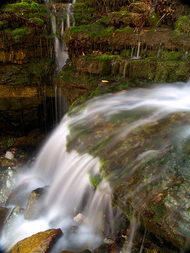
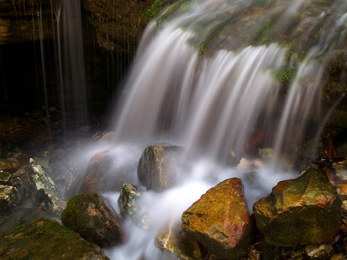
I followed the trail back, which goes by one of my favorite waterfalls in Lost Valley. Tucked in the hill is Moss Falls, a series of small waterfalls over mossy rocks. The sun was a bit of a problem here, so I had to focus on just a few of the falls...
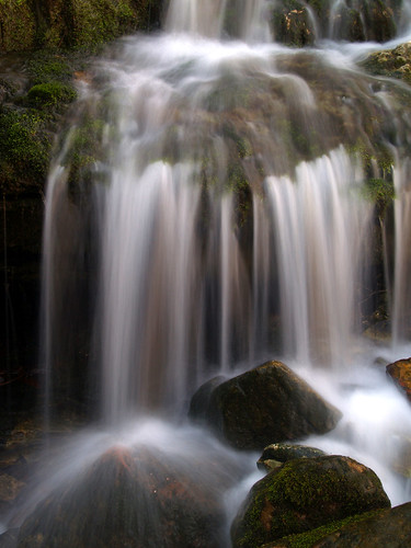
Moss Falls

Moss Falls

Moss Falls

Moss Falls

After that I finished the hike and got back to the car. I took one more drive around the Valley, stopping at this neat old barn. I thought it was interesting how they built the barn into the hill.
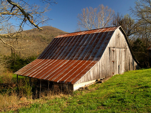
Boxley Barn

At Lost Valley, I was talking to another photographer about nearby waterfalls. I thought I might try to hit Triple Falls by Camp Orr on my way home. She said the road down there might be rough now, after all the flooding, but that I should try and hit some other falls instead. The falls were at Broadwater Hollow, a few miles north of Boxley. The way there was easy, just take a dirt road a few miles and the waterfalls will be right alongside the road. So I headed up there and started driving down the dirt road. But that road was also rough. There were huge culverts carved out by the rain, and my car bounced around on the way there. I got nervous, just having spent a few hundred dollars repairing my car. I didn't want to press my luck going down another dirt road so I sadly turned around and headed back to the safety of paved roads. Apparently dirt roads in the Ozarks didn't fare that well against all the rain.

So the trip didn't turn out exactly as planned, but it was still an enjoyable day out in the woods. Lost Valley and Boxley Valley are amazing places, definately worth visiting no matter what the weather is like...

Wednesday, May 23, 2007

Buffalo River and the Big Dam Bridge, again

I live just 3.5 miles from the Big Dam Bridge.
I thought I would throw that out there since it seems like I spend a lot of time taking pictures out there. Proximity counts, especially with gas costing both an arm and a leg these days. So with that in mind, I managed to spend a lot of time down at the Big Dam Bridge last week. Two nights, to be exact.

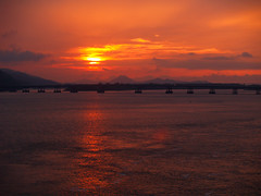
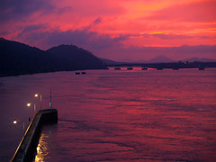
On Tuesday there seemed to be the makings of a neat sunset, so as soon as I got off work I grabbed the camera and made the 3.5 mile drive to the bridge. The weather was odd that night. It had stormed earlier that day, and still looked like it would pour down rain at any second. Yet there was a neat sunset too.

Rainy Sunset

The odd thing is that while the sun was putting on a show over by Pinnacle, it had started to rain at the bridge.

Staring at the Sun

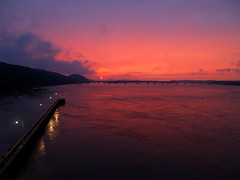
I had to make a decision - stay there at the bridge and risk having the rain damage the camera, or go to the car to get an umbrella and miss the sunset. I decided to stay:

Red sky at night...

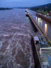
Luckily it wasn't raining that hard, so the camera survived. The water at the dam was running very high, and was thundering below the bridge where it comes out from the dam:

Like A (big dam) Bridge Over Troubled Water


Big Dam Sunset

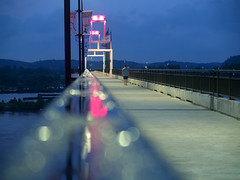
The sunset was starting to fade, so the focus went back to the bridge itself. I'm sure I looked like a nutcase to other people on the bridge while trying to set up this shot:

On the level

The tricky part about that shot was that it meant plopping the camera down right by a puddle of water. I did attempt to dry an area off with my shirt sleeve, but mostly was able to just move the water around. The other worry was that if I wasn't careful I could bump the camera and send it flying off the rail and into the muddy river water below.

With the camera safe I made it off the bridge. The river was very high, flooding some of the areas at the base of the bridge. A few feet of water were sitting right where people go fishing.


Come Hell or High Water

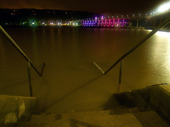
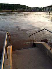
Here is a set of stairs that leads to the sidewalk above. The water is probably 3 feet deep there, I guess. Better watch that last step!

Watch that last step...

Luckily it had stopped raining, so there probably wouldn't be a sudden rise of the river that would sweep away anyone dumb enough to stand right there. But since it was starting to get late I tried for one last shot. I ended up staying out there a lot later than planned trying to get this one. There was a bit of something in the sky over the bridge, which I had thought was glare from the lights from the bridge hitting the lens. I tried all sorts of things to try blocking the light from getting in the lens, mostly holding my hands next to the lens in different ways. This only resulted in several shots with blurry hands in it. I ended up giving up on it, and now I think that the spot in the sky is from the lights hitting the low clouds. Oh well.

Big Dam Bridge

There were a few more shots of the bridge that I wanted to get, so I decided to head right back over there the next day. There is an area next to the dam that is usually home of people fishing. It is mostly a spit of land that runs out from the dam like a peninsula. I thought that since the water was up high I'd try to get a shot of the fast water colliding with objects on the beach.

Before heading back out there I stopped by the same places from the night before to see how they looked during the day:

Watch Your Step

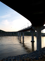
And I took this one to do some compare and contrasting.
The view last week:


High-water

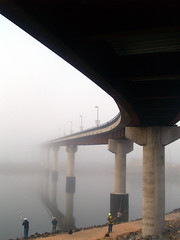
And then a shot taken last fall:

Bridge, fog, and fishermen

The water looks like it would be over the heads of the people fishing in the bottom picture. Kinda crazy, right? Or am I the only one who would be dorky enough to be impressed by that??

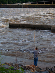
Well there were still lots of people out trying to catch fish, this guy was right by the dam. Now I am no expert on fishing, but it doesn't seem like it would be a good time to fish with the current all crazy like that. It would be a bit scary to see what got kicked up from the bottom of the river:

Fishin'

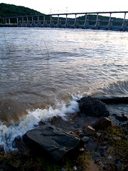
I went out and claimed a spot along the "beach" there. The river was crashing into the shoreline like waves. I guess since a real beach is several hundred miles away, this is as close as we'll get in Little Rock:

The Breakers

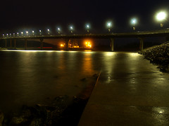
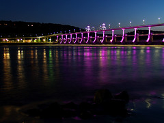
The plan was to find a place where the foreground would have rocks with the water crashing into it, with the Big Dam Bridge in the background. If it was a long exposure, the water would be blurred as it hit the rocks. The plan mostly worked out, but when it was dark enough for the lights on the bridge to look cool, it was almost too dark to see the rocks and water in the foreground.

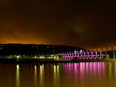
Big Dam Bridge

It didn't take too long for it to get too dark to see the rocks at all.

Big Dam Bridge

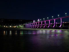
And then finally one last shot before I left:

Big Dam Bridge

If it makes any difference I haven't been back to that Dam Bridge since then. I gave my camera some rest since it would be busy during the weekend. I went up to a wedding that was being held at Buffalo Point along the Buffalo National River.

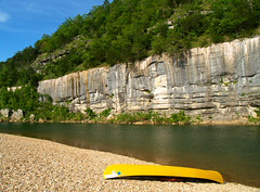
Buffalo River

I love the Buffalo River. And Buffalo Point is one of the places that I've only been too once up there (it's a bit out of the way). So the prospect of spending the weekend up there was exciting. I even had a plan on doing some experimenting up there with taking pictures of star trails. Star trails are pictures that have long exposures, usually at least over 10 minutes, which create trails from the stars "moving" across the frame while the picture is being taken.

My digital camera requires a special remote that allows it to take exposures over 60 seconds, which I've been too cheap to buy. Instead, I decided to dig out my old film camera and use it instead. On the way out of town I went and did something that I hadn't done in about a year - buy film. I was shocked at how expensive it was. $9. Yup, nine bucks for one roll of film. Granted it was a somewhat fancy film and it had 36 exposures on it, but still.

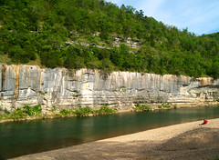
So I made it up to the River on Friday afternoon. The River was pretty and really made me want to head up there next weekend and just about any free time after that.

Buffalo Point

The wedding was on Saturday, but there was time for people to go and hang out a bit at the river. I went swimming in the river right where the above shot was taken. The water was cold. It was cold enough that it was actually painful to get into it. That really isn't a surprise, since the temperature outside had gotten into the 40's that night.

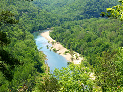
And here is a view of the river from an overlook:

Buffalo River

After the wedding, on Saturday night I headed back down to the river to try my star trail shot. There wasn't a cloud in the sky, and you could see millions of stars. It makes you realize how much of a city person you are when you look up and get amazed to see so many stars in the sky.

I went and tried to set up the camera, but then realized it was going to be a bit more difficult than I imagined. For one thing, I couldn't actually see anything out of the camera viewfinder. So I really had no idea if the camera was even pointed at the sky during the shot, since all I could see was darkness. But I tried, starting an exposure and going back to sit in my car that was parked nearby. As I started though, I got some company. Some park rangers drove up and nicely asked just what was going on. I said that I was shooting star pictures, which they luckily didn't think was that crazy. With a "good luck!" they drove off into the night.

I have to admit it was a bit creepy being out there at night by myself. Some bullfrogs were out croaking, and unfortunately they weren't the only visitors I would get to see that night. After being out there about 30 minutes, three vehicles pulled up to where I was parked. They belonged to a mini-van, a wrecker and a truck. The mini-van belonged to someone who managed to get a car stuck in the gravel by the river and needed to get a wrecker to pull it out.

Now, to me, it doesn't seem like such a brilliant idea to take a car onto the gravel since there was a big sign saying that unless you have a 4-wheel drive vehicle, you will get stuck there. Plus that seems like something that could at least wait until daylight, instead of midnight.

The scene was a bit wrecked, so I decided to call it quits with the experiment. I managed to get about 7 shots out of the night. When I took the film to get developed, not a single shot came out. Dammit.

It turns out that to get the best results one should take pictures when there is a full moon. Of course there wasn't one that night, so the film came back blank where there was supposed to be star trails. So for all that, I ended up wasting money on film and developing. Oh well.

The next morning I went back to the same spot I was at the night before. It seemed like the person managed to free their car from the clutches of the gravel, since there weren't any cars there.

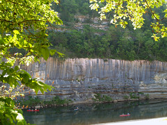
The Buffalo

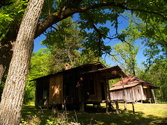
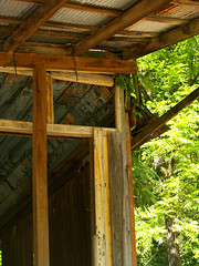
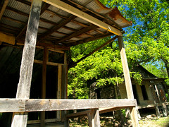
And after that it was time to leave, but not before one quick sidetrip. There is one area of the Buffalo River that I had heard about and always wanted to visit. So I was thrilled to realize that it just happened to be a few miles away from Buffalo Point. The area is the old ghost town of Rush. It is a set of old buildings dating from the 1900's from what was once a mining town.

Rush Ghost Town

The park service was kind enough to put up a sign with this info on it:
"The Ghost Town of Rush stands as mute testimony to the activities of a bygone era. Zinc carbonate ore was discovered in this valley in the late 1800's and the "rush" was on. Soon the hillsides were dotted with mines with colorful names such as Morning Star, White Eagle, Monte Cristo, Red Cloud, Buelah, MacIntosh, Edith and Yellow Rose. The population of the valley rose and fell with the demands of the zinc market. The peak came during the period 1914-1917 when more than 5,000 people were said to have lived and worked here. At the end of World War I the bottom feel out of the zinc market and mines were abandoned. These buildings date from the early 1900's and were inhabited until the 1960's, serving as homes and a general store and post office."

Sadly the old buildings are fragile, so they are fenced off and people aren't allowed inside.

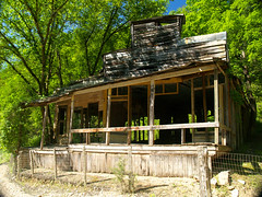
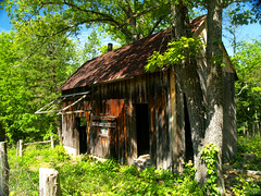
This old building was the general store for the town:

Rush General Store

About the store, the Park Service said:
"Across Rush creek, in front of you, are the remains of houses and shops once owned by the Morning Star. Many families lived there over the years, some until the late 1960's. The building nearest you was the Taylor-Medley Store - started by Bill Taylor and last operated by Lee Medley. Medley lived in the house just to the right of the store.

During the mining boom you'd probably buy groceries here (or at one of several Rush stores). You'd mail letters, buy stamps, and collect your mail here. Sitting on the store's front porch you could visit with your neighbors and catch up on the latest news. You could get married here, because the store owner was also shopkeeper, postmaster, and justice of the peace. The Taylor-Medley Store was the town's last hub. It was a place of business. It was a place for people. It was the last ember of a community when the store finally closed in 1956."

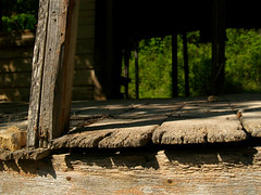
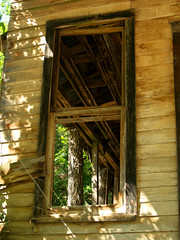
A few detail shots of the store:

Rushin' around

Guess they don't have storm windows here

Rush

Ghost Town

Nearby is a short trail that loops around what was the heart of the old mining operation. Nearly all of the buildings are gone, a stone smelter and this building are all that remain now:

Rush blacksmith

And some info, from the Park Service:
"Standing here, let yourself imagine the roar of a blacksmith's forge, the hiss of a bellows, and the clang of metal striking metal. The blacksmith shop was an essential cog in the Morning Star's operation. he kept the company's ore wagons ready and stock teams shoed. He repaired mine equipment, forging new parts as needed. If something broke he fixed it or remade it. Nails, nuts, bolts, and mining tools were readily stocked and available at the blacksmith shop.

In 1925 Lee Medley, the company's blacksmith, built this blacksmith shop for the reopening of the Morning Star Mine. the building had two rooms: one for forging and one for storing parts. A large, lean-to warehouse, now gone, was attached to the right side of the shop. There, wagon parts, pipe joints, and fittings were stored, along with the company general manager's prized Jordan car."

A spur trail takes off that actually goes up to some of the mines. I was pressed for time so I didn't go up there.

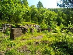
The main trail passes by this area, which was once the processing mill:

Mine ruins

And again from the Park Service:
"The processing mill for the Morning Star Mine sat on these foundation pillars in front of you. During the mining boom, brought on my World War I, zinc prices soared. Profits enabled the company to expand and modernize the mill, increasing the mill's capacity to crush and separate 200 tons of zinc ore a day."

Then it was time to head home. Since I got back into town I haven't been back to the Big Dam Bridge yet.

I did take the camera out tonight to get a shot of this interesting sign in North Little Rock:

Doggie Styles

The Doggie Styles grooming service is actually part of a vet clinic in Park Hill. I think it's especially funny since the vet clinic that it is part of is actually the same one that my family has been using for well over 20 years. They are a good vet, they just have really questionable (or awesome!) judgement when it comes to naming stuff.