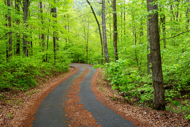
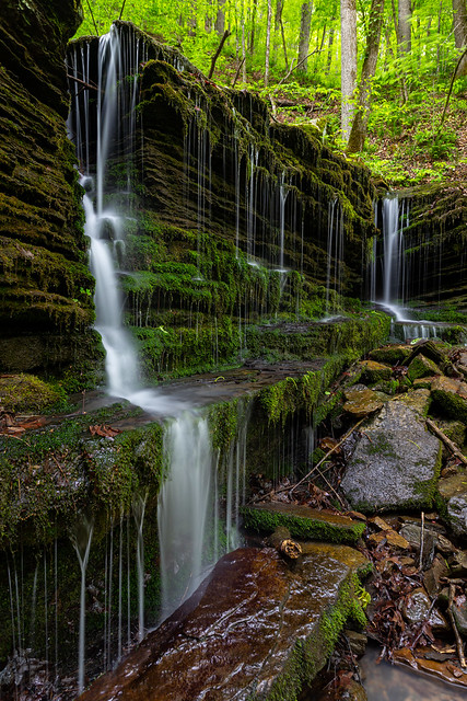
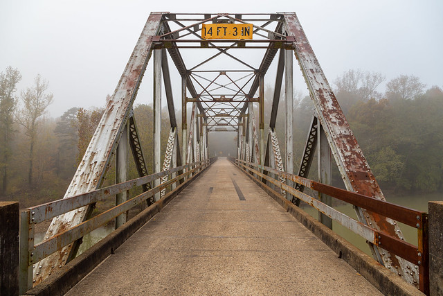
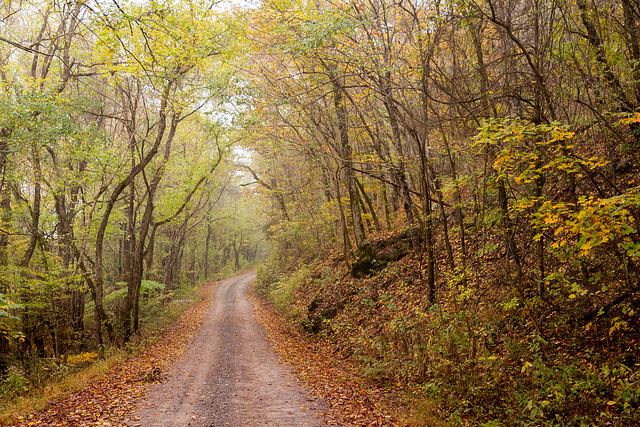
We have entered peak waterfall season in Arkansas, so last weekend I met up with Zack and Matt for a little trip up into the Ozarks. It looked like ideal conditions, with cloudy and rainy weather predicted. Spring had fully hit in Little Rock, and all the trees had greened up with bright leaves. But as I started heading north from Russellville, it seemed like Spring hadn't quite reached the Ozarks yet. The further north I went, the leaves got smaller and smaller until there was one point where the leaves hadn't come out at all yet. In just a short drive, it went from Spring all the way back to Winter.
It was still green in the lower elevations, so we went to camp at a spot along Big Piney Creek. After getting everything set up, we then started our first hike along Rock Creek, which is a tributary of Big Piney. The hike probably wasn't all that bad if you're in good shape. But I was quickly reminded of how woefully out of shape I am. It seems like my legs and knees began to ache just as soon as we headed out into the woods. This area is really popular with rock climbers thanks to some tall bluffs, and there was a trail to follow for a bit. The trail ran below the bluffs, and eventually went by Rock Creek Bluff Falls (which are about 47 feet tall). But the sun was out, so none of the pictures really turned out.
The trail ended at the bluff, so we started hiking out into the woods after that. After hiking about a mile or so, we finally made it to this waterfall - Rock Creek Falls. The creek does live up to its name, at least here at the waterfall. Here the waterfall tumbles down onto a large boulder sitting in the middle of the creek.
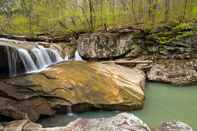
As soon as we got here, after hiking two miles, we heard loud engines roaring through the woods. A large group of country guys riding 4-wheelers and side-by-sides appeared out of nowhere and drove into the middle of the creek right above the waterfall. They got out, and stood around talking and drinking beer. We sat at the waterfall and waited, which was a little frustrating but to be honest I wouldn't have minded if one of them gave us a ride back to our car so we didn't have to hike all the way back.
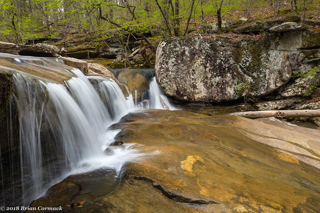
And looking up at the falls, taken while sitting on a rock in the middle of the creek. There are definitely a lot of rocks in Rock Creek.
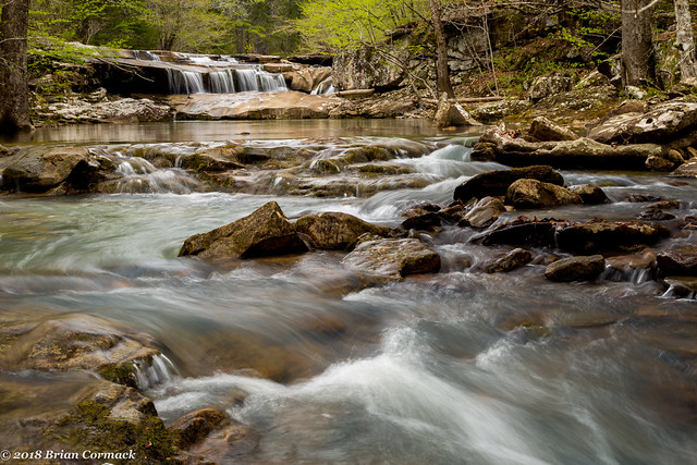
Just downstream is another waterfall - Ava Jane Falls. It's interesting how the water changes color from looking greenish in the pool below the falls and then into more turquoise in the creek.
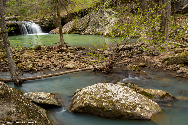
And a closer view of the falls:
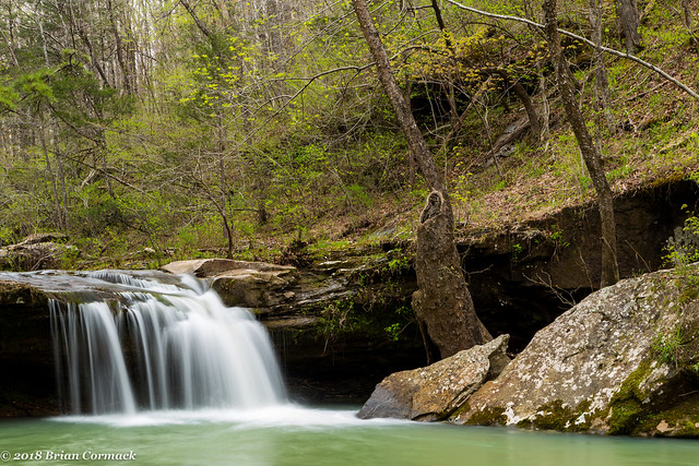
And then looking downstream from Ava Jane Falls, as the creek passes heads through the forest towards its eventual confluence Big Piney Creek.
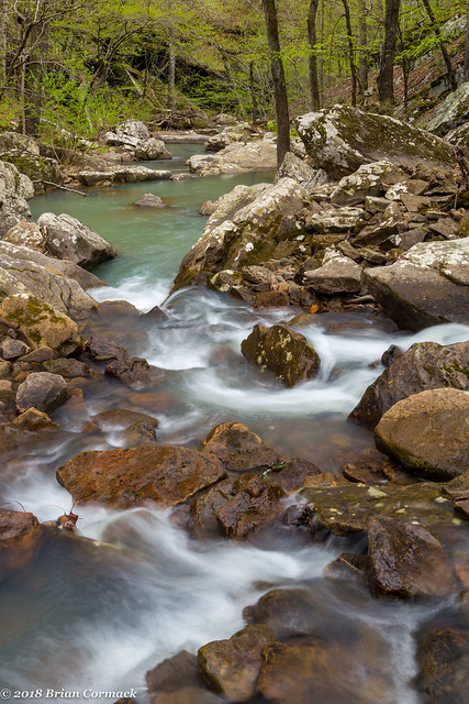
After that we began the hike back to the car (unfortunately none of the 4-wheeler guys volunteered to shuttle us back). After finally reaching the car, we decided to hit one more waterfall before it got dark. We decided to visit Slot Rock Falls, which is on the amusingly named Lick Creek. The waterfall can be reached by hiking the Ozark Highlands Trail, or if you're lazy you can drive right up to it. Since we had already hiked four miles that day, we decided to be lazy. Luckily we were in Matt's Xterra, and after some driving (which required being in a 4-wheel drive) we were able to get to the falls.
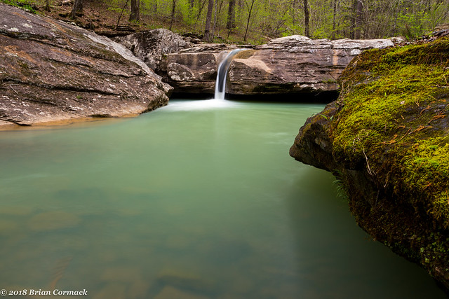
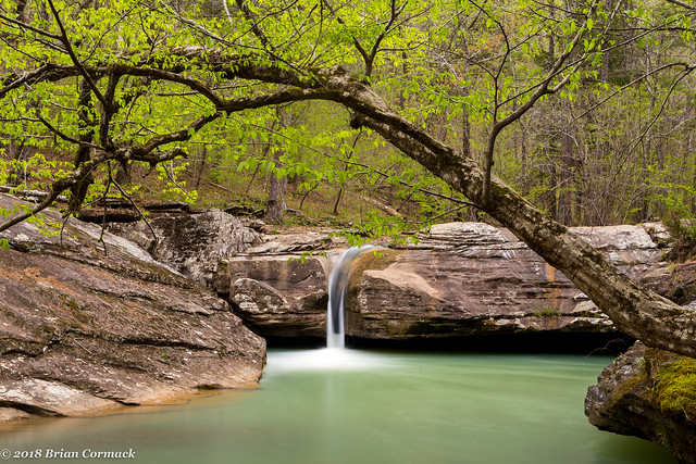
It is a really neat waterfall - the creek has carved a deep groove in the rock, creating a narrow slot for the waterfall to pour over. The pool below the falls is apparently a good swimming hole too (especially if you've been hiking the OHT, it'd be a nice place to stop to rest).
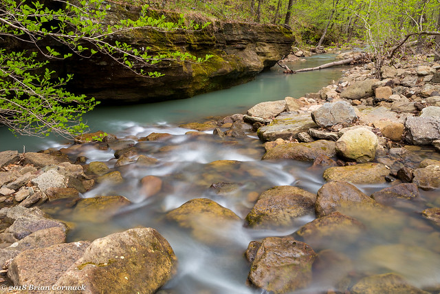
And here's the view of Lick Creek has it flows downstream from the waterfall.
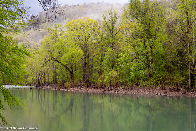
It started to rain and it was getting dark, so we headed back to the campsite. It ended up raining fairly heavily overnight, so the next morning there was some fog drifting along the hills above the creek. This was our view of Big Piney Creek from our campsite, which was a great spot to spend the night.
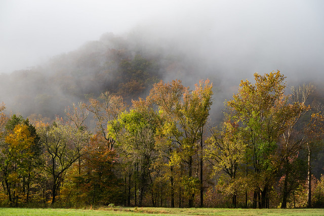
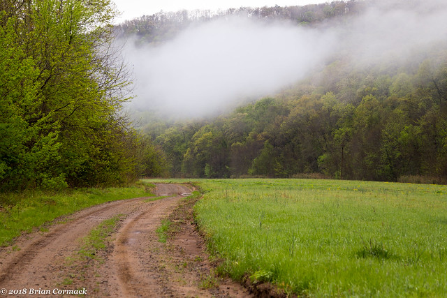
And another shot of the fog clinging to the hillsides above a field near our campsite.
The field was marked by a stone wall, which ran for a bit alongside the road.
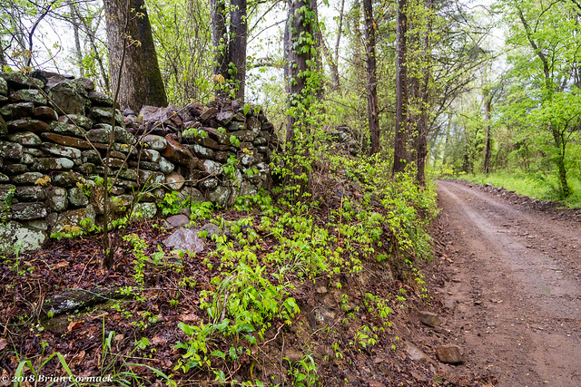
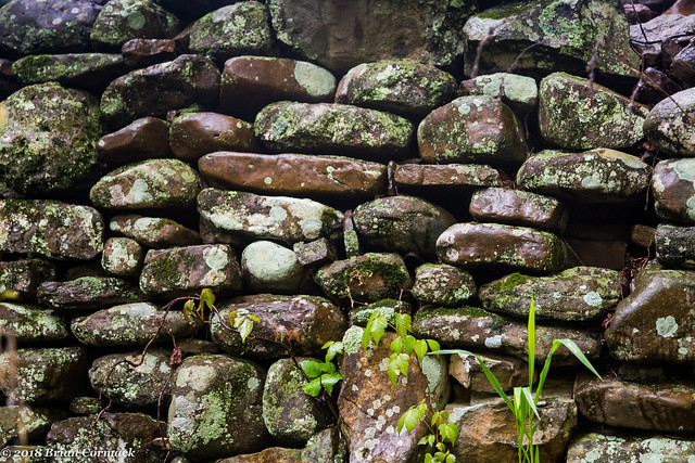
Wonder how old the wall is? It seemed like it was still in pretty good condition.
We decided to try one more waterfall - Mill Creek Falls. The falls are reachable from a hike that has been rated as an "easy bushwhack." Which I do question, mostly because I'm 38 and out of shape so I don't think there are very many easy bushwhacks anymore. The hike was fairly level, but there were a lot of sharp briars and thorns lurking dangerously along the creek, and I ended up being scratched up enough to look like I just barely survived a knife fight.
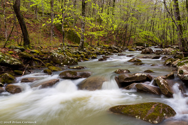
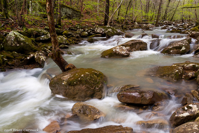
The creek is very pretty though, and reminded me a bit of Smith Creek up by the Buffalo River.
We also saw some evidence of bears in the area - mostly some torn up trees and lots of bear scat (so to answer the question - yes, bears do crap in the woods). We didn't actually see any bears out there, which is for the best since I was worn out after all the hiking and would have not been able to outrun any bears.
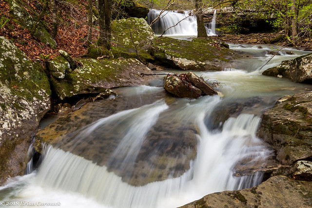
And a shot of Mill Creek Falls, which is about eight feet tall.
I was only able to get a few shots from here before the sun came out, and after some rest we started the hike back to the car. It was a good weekend and I can't wait to get back up to see a few more waterfalls this Spring!