
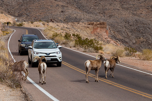
There is definitely less traffic than in the city, but don't be surprised to encounter a few traffic jams. This one was caused by a few bighorn sheep crossing the road.
Valley of Fire is a Nevada state park, and it protects about 46,000 acres of land. The Valley of Fire gets its name from the deep-red sandstone formations, which were formed over 150 million years ago during the Jurassic era. The first place we stopped was the Beehives, which are weathered sandstone mounds that were once sand dunes in an ancient desert.
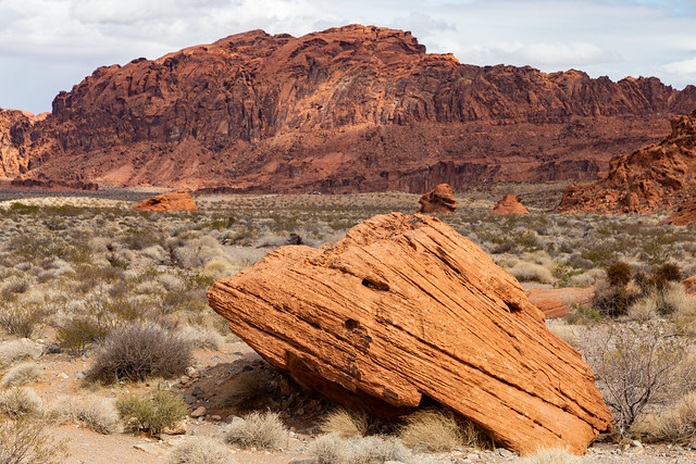

The bright red rocks contrast against the dull browns of the distant Muddy Mountains.

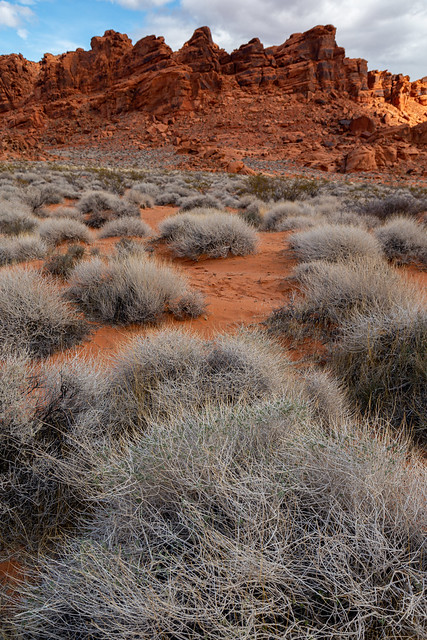
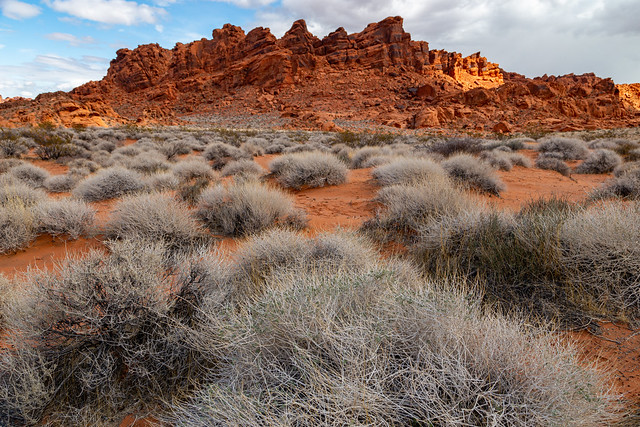
The landscape isn't barren, there were lots of plants growing amongst the rock formations.

The Anasazi (Ancestral Puebloans) lived in the Valley of Fire way back around the years 300 BC to 1150 AD. There are several places in the park where you can find petroglyphs.


One of the most popular places of the park, especially with photographers, is Mouse's Tank Road. The road cuts through a valley surrounded by tall rock formations. The road is named after Little Mouse, a Southern Paiute who hid out here to evade capture in the 1890s.

There were several other photographers out there, crowding along the rocks or standing in the road posing for pictures.

Driving through the park definitely felt like being in another world. And apparently we weren't the only ones who thought that, the park was also used as a stand-in for Mars during the filming of Total Recall with Arnold Schwarzenegger.


We parked and started on one of the most popular hikes in the park, which leads to the Fire Wave. The trail passes right by this massive rock, which is called the Gibraltar Rock.


Storm clouds drifted around us, although we never got rained on while we were there.


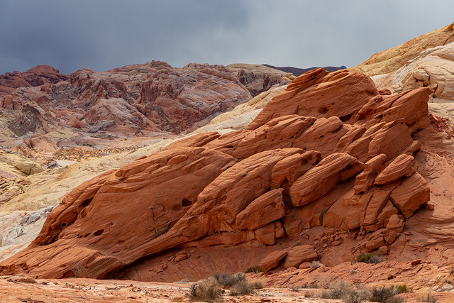

It was good we were hiking here in February. In the summer they close some of these hikes because the high temperatures exceed 105 degrees and there is no shade on the trails.


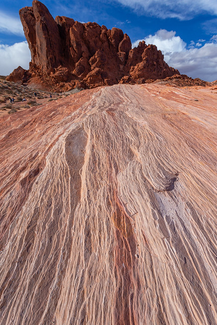
Soon we reached the Fire Wave, which is a rock formation made up of swirling pink, red and white sandstone that looks like a wave of water frozen in stone.




After the hike we headed back to the car and started to drive out of the park, but did stop to get one more picture of a bighorn sheep along the side of the road.

And one last shot from Valley of Fire, shortly before we exited the park and started driving towards Utah. The storm clouds that we saw that day were busy dropping snow on the next location that we'd be seeing on the trip.


No comments:
Post a Comment