Wednesday, February 27, 2019

Stuttgart

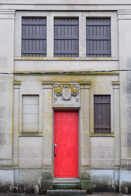
Last weekend I had to run and errand in Stuttgart, so I headed out into the Delta as it poured down rain outside. I remembered to bring the camera (and the memory card, always important), so I stopped at a few places to take pictures. I drove by the old Riceland Hotel and got this shot of the building. The hotel was built in 1923 but was closed and abandoned in the 1970s. If you want to see some shots of the hotel's interior, check out this post from 2017.

IMG_1897-2

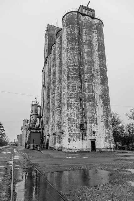
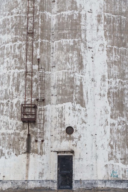
Stuttgart is known for two things - duck hunting and rice farming. It is the home to Riceland Foods, the largest miller of rice in the world. So it's no surprise that there are several buildings dedicated to processing and storing rice located throughout town. This tall silo (at least I think that's what it is) sits right in the middle of a residential neighborhood, but I don't think it's used much anymore.

IMG_1903-2

IMG_1931-2

Nearby were these old disused railroad tracks, which were collecting the rain water.

IMG_1912-2

Stuttgart was incorporated in 1889, and the first mayor was a grandson of Davy Crockett.

IMG_1944-4

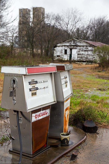
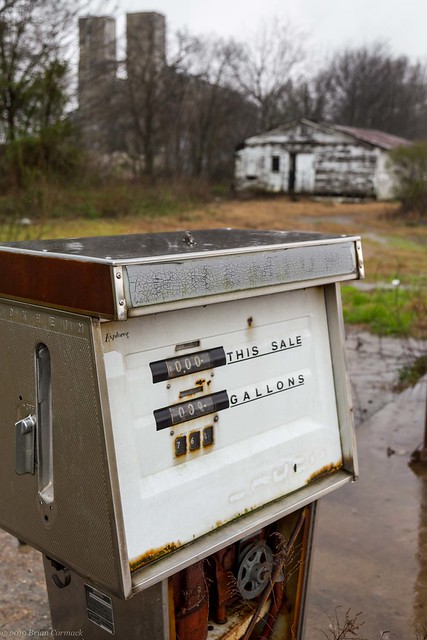
It was pouring down rain when I was there, in fact it was enough that there was a flash flood warning for the area. Both the camera and I got soaked taking pictures of this abandoned gas station.

IMG_1955-2

IMG_1964

In fact if you look closely, you can see the raindrops pounding the top of the old gas pump in this shot:

IMG_1967

After that I ducked back into the car and tried to dry the camera off, and then headed off to get a few more pictures before heading home. Those photos coming soon - same blog time, same blog channel!

Monday, February 25, 2019

Delta Drive

I had the day off for Presidents Day (thanks Obama!) and decided to spend my time off doing my two favorite things - napping and taking pictures. So after seeing Jonah off to daycare, the dogs and I crawled back into bed and snoozed for a few hours.

Later on I grabbed the camera and drove out to a few places southeast of Pine Bluff. The first stop was this old house, empty and covered with faded and peeling paint.

IMG_1755-3

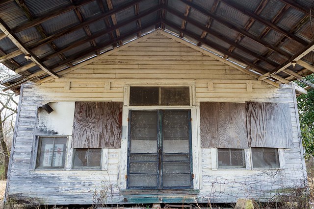
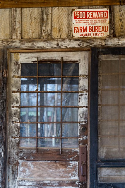
Nearby was this old general store, long closed and boarded up. I didn't commit any crimes when I was briefly there taking pictures, I did not want to incur the full wrath of the Farm Bureau.

IMG_1765-2

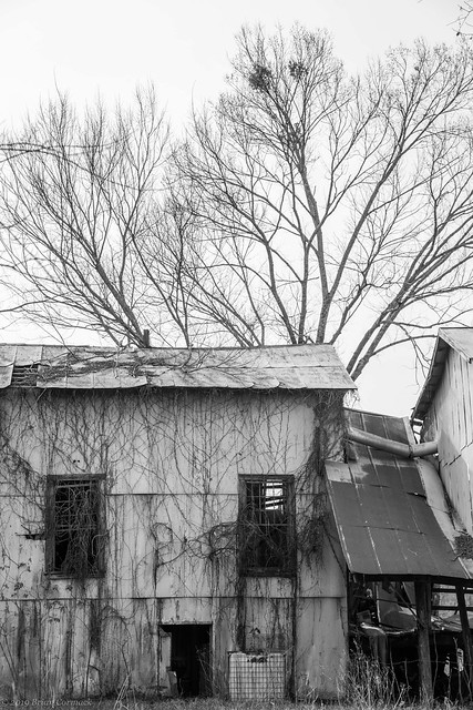
Down the road was this old cotton gin, which was covered with vines and had partially collapsed.

IMG_1778-2

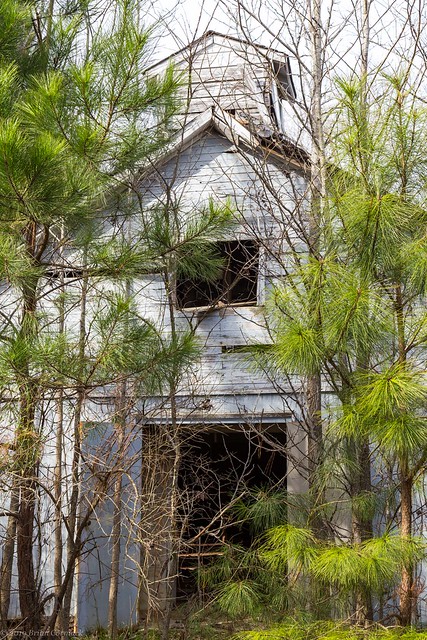
And also nearby was this old church, which seems to have been abandoned now for several years. Even though the front door of the church was open, the entrance was guarded by overgrown pine trees. I managed to take a peak inside, but the pictures didn't turn out. The vacant church interior was littered with old bulletins and other debris. The windows were made of red stained glass, which cast the old sanctuary with a reddish hue.

IMG_1782-2

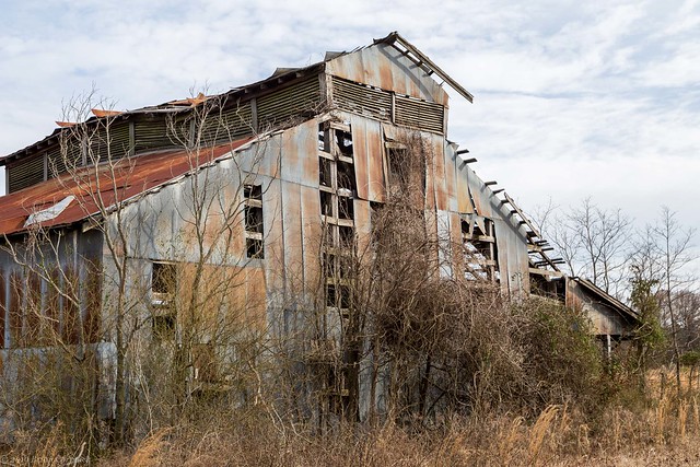
While heading back to Pine Bluff I stopped at this old barn, which looked neglected. The metal siding was peeling away, revealing its wooden skeleton.

IMG_1820-2

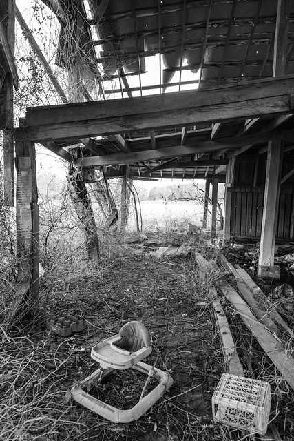
Inside it looked like the barn's last use was for storage, and there were a few old kids toys laying haphazardly in the mud.

IMG_1809-2

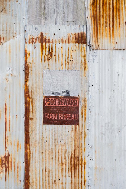
I didn't linger there too long, I felt the intense gaze of the Farm Bureau following me like a hawk.

IMG_1818

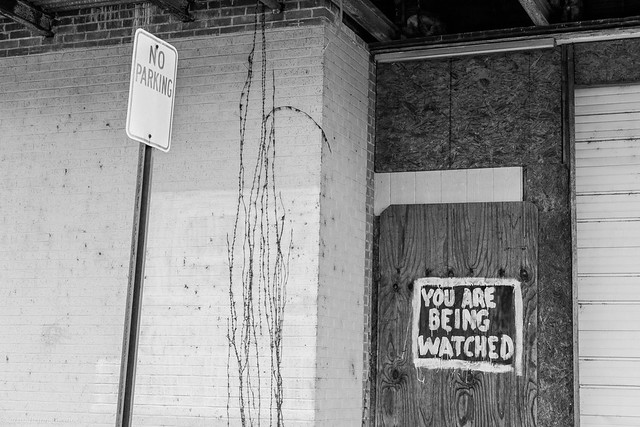
I drove back into Pine Bluff, which has a great collection of old buildings. I drove through downtown and got a few pictures. But was the Farm Bureau even watching me here?????

IMG_1838-2

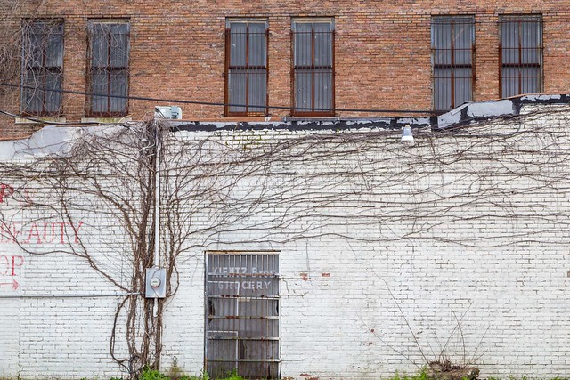
I didn't stay too much longer, for fear the Farm Bureau would catch me and throw me in their jail (which I assume is guarded by cows and sheep?). I snapped one more shot from Pine Bluff, of the side of two old buildings that front Main Street.

IMG_1843-2

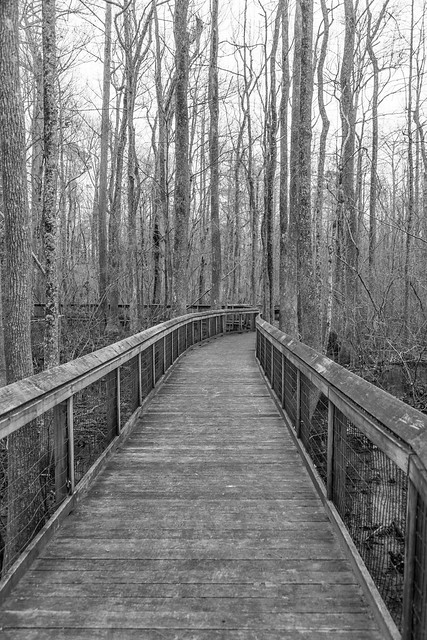
Before heading home I made one last stop - at the Lorance Creek Natural Area. The nearly 525 acre preserve protects the Lorance Creek area, which contains both a cypress-tupelo swamp and some pine-covered upland areas. The swamp areas were once common across eastern Arkansas, but the majority of them were drained and turned into farmland. This wooden boardwalk extends out into the murky waters of the swamp.

IMG_1852-2

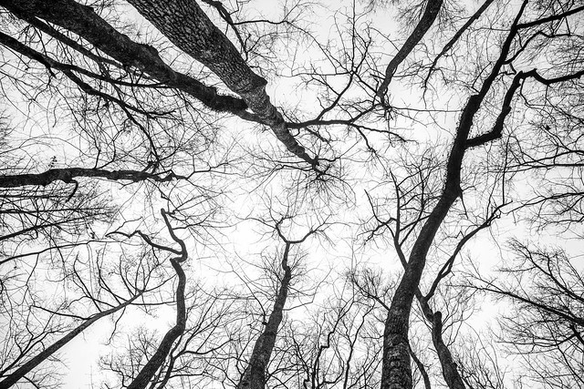
And one last shot, looking up at the broad canopy of tree limbs that shrouds the swampy waters.

IMG_1891-4

Thursday, January 31, 2019

Old State House

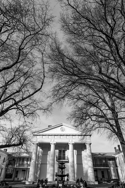
The Old State House in downtown Little Rock does live up to its name. It is still the oldest standing state capitol building west of the Mississippi River, having been constructed between 1836 and 1842. The building has played its part in several chapters of state history, and since Arkansas is often a wacky state the museum reflects that. In 1837, the Speaker of the House fatally stabbed a state Representative during a heated debate about the all-important subject of wolf pelt taxation. After the current Arkansas State Capitol was built in 1911, the Old State House went through a few different uses. It served as medical school for awhile, and as a veteran's memorial. The building was nearly torn a few times, but luckily it was spared the wrecking ball and would become a state museum in the 1950s. Bill Clinton said it was his favorite building in Little Rock, and used it as the backdrop when he announced his candidacy for President, and then for his Election Night victory parties in 1992 and 1996. The Old State House is now listed as a National Historic Landmark.

IMG_1261-2

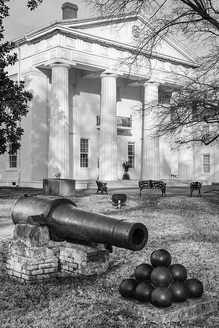
The Old State House grounds are also filled with little bits of history. The fountain in front of the building is a recast of the three-tier fountain that was installed in front of the Arkansas Building at the 1876 Philadelphia Centennial Exposition. Nearby is an old canon, which has a deep history. The canon was originally forged in New Orleans in 1861 during the Civil War, and was placed on the CSS Pontchartrain gunboat. The boat sailed up the Mississippi River and the canon was taken off and used to defend Arkansas Post during the battle of Ford Hindman in 1863. The canon was damaged during the battle, and afterwards was repaired and then moved up the Arkansas River to Little Rock to help guard the city.

Before Union troops captured Little Rock a few months later, Confederate troops spiked the canon and then dumped it into the Arkansas River. There it sat for eleven years, until it was dragged out and returned to service during the Brooks-Baxter War. That conflict was between two candidates for governor, and it ended up becoming an armed conflict (with 200 casualties) that required intervention from President Grant. The canon was dragged up from the river and restored by Baxter's militia, who dubbed it "Lady Baxter," and positioned it towards the Brooks barricade. After the conflict ended, Baxter's supporters staged a parade through downtown Little Rock where the canon firing a single celebratory shot. Reportedly, the blast from the canon was so strong that it shattered windows for four blocks around it. The canon was then put on display on the lawn of the Old State House, where it still sits today.

IMG_1269-2

The Old State House has undergone significant renovation and restoration in order to restore it to its original appearance. But one aspect of old capitol you won't find is the large statue of Justice that used to sit prominently on the roof of the building. In the early 20th century, the statue was considered somewhat risqué since Lady Justice showed off a little too much cleavage. Members of the Sisters of Temperance Society were offended and reportedly hired a gang to sneak into the building and tear down the statue, who then unceremoniously dumped it in the Arkansas River.

Monday, January 28, 2019

Bearcat Hollow

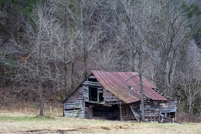
The other weekend, I met up with Matt and went to do some hiking around Bearcat Hollow, which was said to hold a few neat waterfalls. The hollow is located in the Ozark National Forest in the upper Richland Creek valley, and isn't the easiest to get to. We drove several hours, and then had to ford Richland Creek to reach the trailhead (luckily I wasn't driving since my car would have probably melted in the water). Along the way we passed by this old barn, which sat in a field along with some dedicated guardcows who did not look very pleased that people were stopping along their fence taking pictures.

IMG_1175-Edit-3

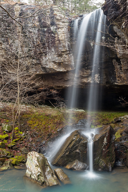
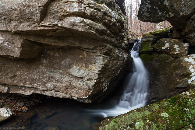
The hollow is in a fairly remote area, and some parts of the hike were pretty steep and difficult (especially since I've gotten pretty out of shape). But we were a little surprised to find some faint trails through the hollow - apparently this is a popular little spot for rock climbers. We finally made it down the hill and to the creek, which ran past huge boulders and had a few neat waterfalls on it. The largest is Bearcat Hollow Falls, which has been estimated to be about 35 feet tall.

IMG_1195-3

The waterfall splashes onto a few large rocks sitting in the turquoise pool below, which look like they must have fallen right off the bluff line sometime long ago. The falls were also surrounded by lots of trees, so this will definitely be an amazing waterfall to see in the Spring.

IMG_1221-4

While we didn't see any bearcats there, the hollow did have a few more waterfalls.

IMG_1227-3

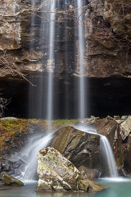
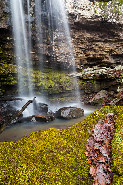
This waterfall is about 25-30 feet tall, and it falls into a small pool that sat next to a large moss-covered rock. There was a nice collection of fallen leaves that were nestled in the moss like it was pillow.

IMG_1246-3

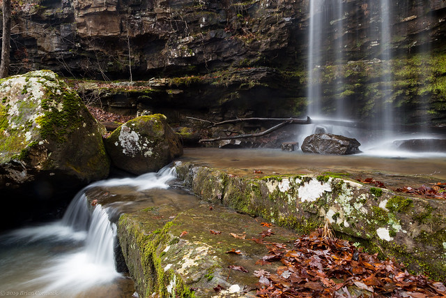
And one last shot of the falls, taken before starting the hike back up the steep hill towards the car. It was a neat area, definitely one worth visiting again.

IMG_1249-3

Thursday, January 24, 2019

Petit Jean In The Fog

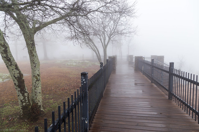
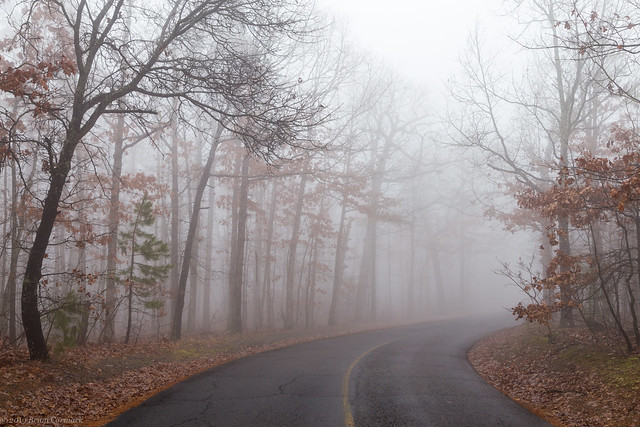
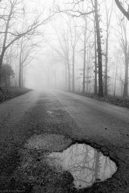
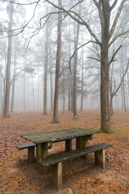
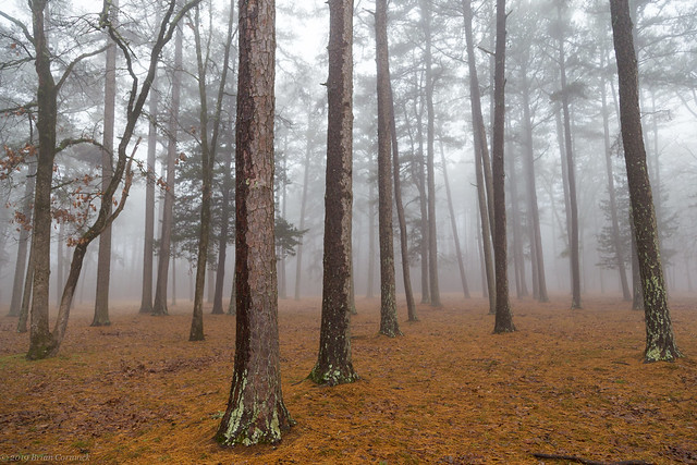
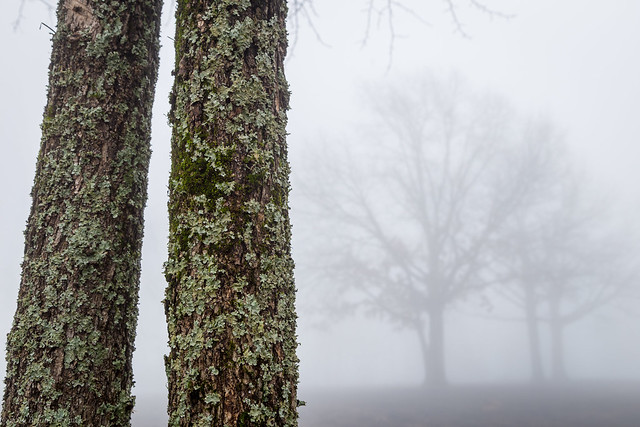
It had been a quiet little Saturday morning, we got up and took Jonah to get donuts for breakfast. Then we took him to the library for a bit. It had been cloudy, but when we left the library a thick fog had descended over the city. It was perfect picture taking weather! So I hurried home and grabbed the camera and then quickly drove over to Petit Jean Mountain to try to get a few pictures.

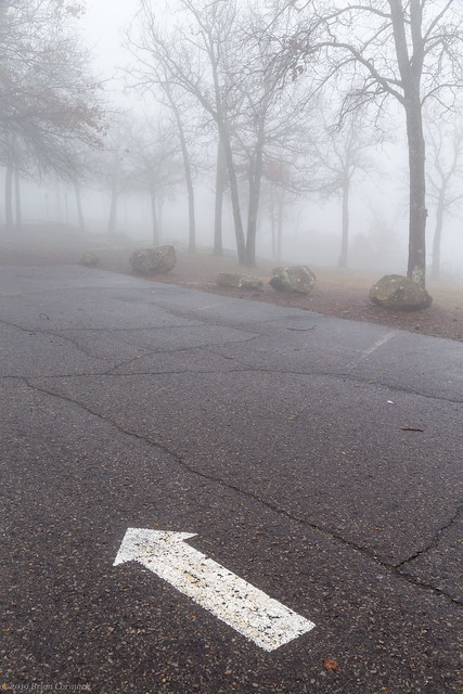
I followed the twisty road that switchbacks up the mountain and stopped first at the overlook at Stout's Point. Of course there wasn't much of a view at the overlook, everything was shrouded in fog. And while you couldn't see them, you could still hear cows mooing from the fields far below the mountain.
Petit Jean

Petit Jean

IMG_0798

IMG_0814-2

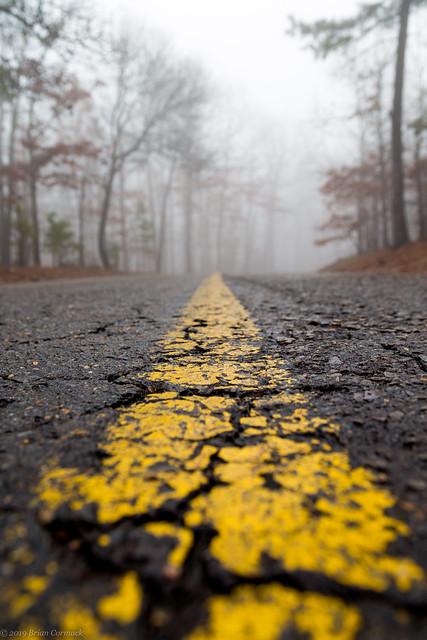
Luckily there weren't that many people out, so traffic wasn't that bad up there.
IMG_0899-2

IMG_0933-3

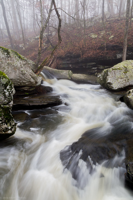
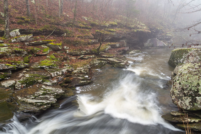
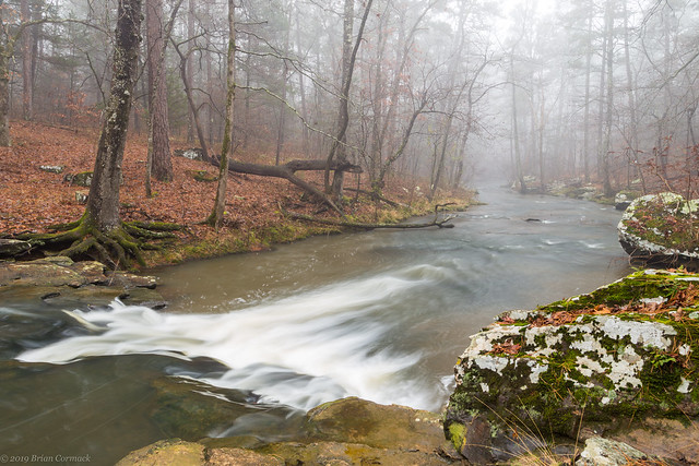
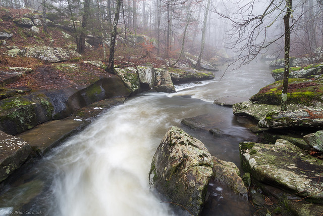
After that I headed into the park and then followed a trail that ran alongside Cedar Creek. The creek was running well after some recent rains, and the woods were hidden by the thick fog.
IMG_0973-3

IMG_0976-2

IMG_0984-2

IMG_0990-3

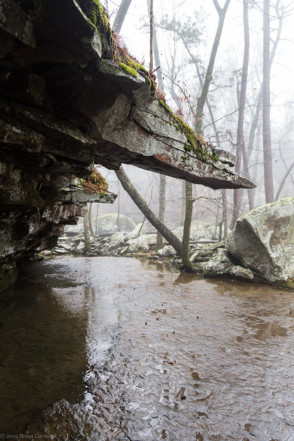
At one point the trail runs underneath a boulder that is somehow propped up against the bluff, and then runs beneath these jagged shards of moss-covered rock sticking straight out.
IMG_0998-2

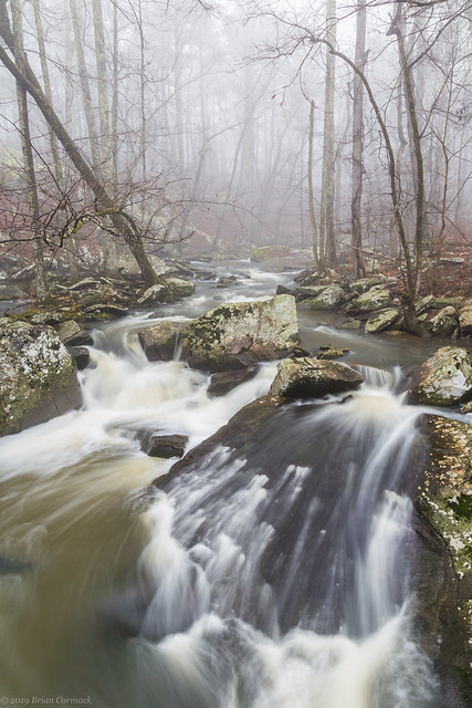
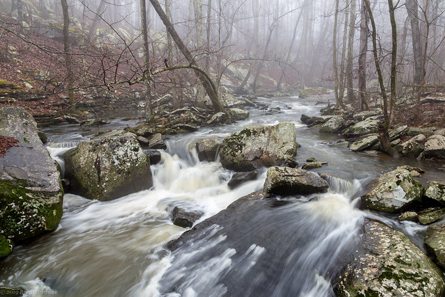
This was a very scenic stretch of the creek, where it tumbled and rushed past several huge boulders.
IMG_1014-2

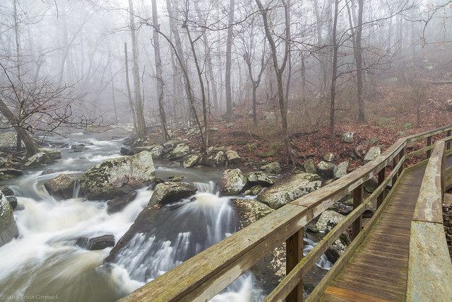
The State Parks people were actually kind enough to construct a bridge right in this spot, which provides some great views of the creek.
IMG_1025-2

IMG_1011-3

From there I turned around and started walking back to the car, but I passed by a few more neat spots along Cedar Creek.
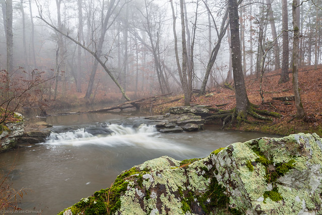
IMG_1042-2

I followed the creek to where it passes under the old Davies Bridge, which was built by the CCC in 1934. The old stone bridge sits by a small waterfall created by a dam on the creek.
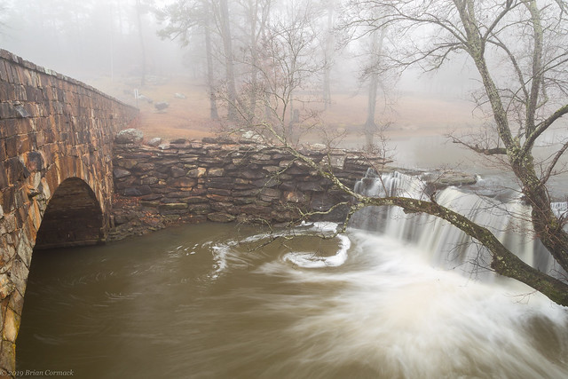
IMG_1046-5

The fog was steadily getting thicker and thicker.
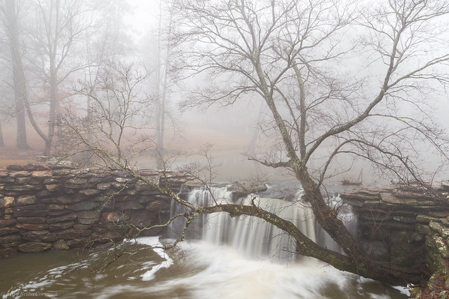
IMG_1055-3

Just upstream is another old stone dam, which also has a few neat waterfalls on it. There were a few people fishing in the waters of the lake nearby, but otherwise this area of the park was fairly quiet.
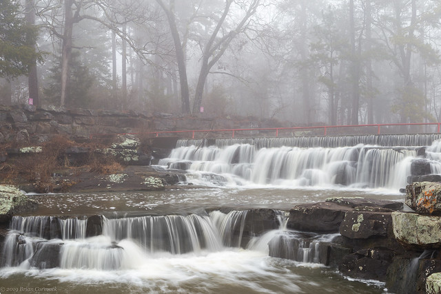
IMG_1061-3

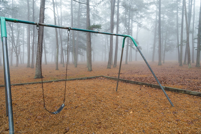
The nearby playground was empty, and with the fog had a bit of a melancholy feel to it.
IMG_1067-3

IMG_1103

IMG_1099-2

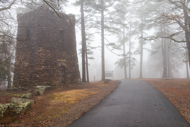
I then drove over to the Cedar Falls Overlook, and was shocked to see that the falls were just barely visible to through the thick fog. I wish that I had more time, so I could have done the hike into the canyon to see the falls (but it was about 30 minutes before sunset, so daylight was running short). I hurried to get a few more pictures, stopping at the old water tower that sits near the lodge. The tower was built by the CCC in the 1930s, and looks like a castle tower.
IMG_1121-2

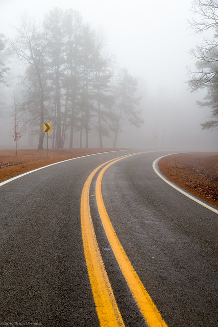
And I did make sure to look both ways before quickly stepping to the road for this shot.
IMG_1132-2

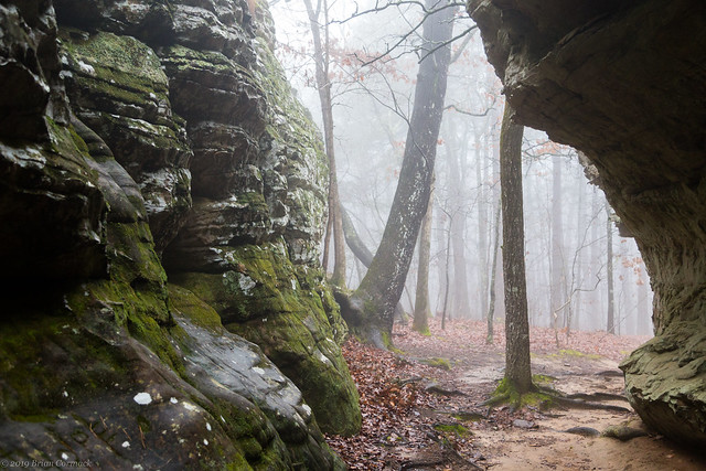
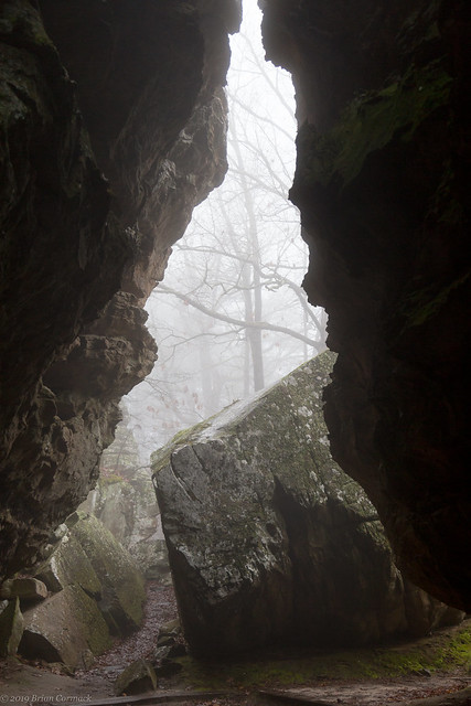
I had just enough time to make one more stop before it got dark, and drove over to the Bear Cave trail. The short little trail passes underneath massive sandstone stones and boulders. It's a neat little area, especially with a nice coating of fog. I grabbed a few pictures and then headed back home as night fell and the fog began to dissipate.
IMG_1146-2

IMG_1151-2