The alternative route to the mountain went along some narrow and bumpy dirt roads, which curved along through some thick forest. It got dark quickly, and then really foggy. So foggy that it was extremely hard to see anything out of the windshield. At one point the visibility was only about a foot or so. I gripped the steering wheel and went a glacial pace, sure that I was about to drive off the mountain or hit a deer or some meth-crazed hill person.
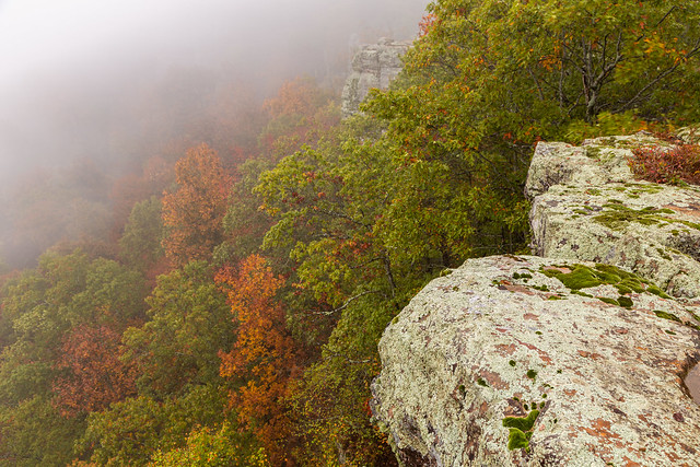
But eventually I made it to the top of White Rock Mountain, which is a scenic little spot with some cabins and great overlooks. The original plan was to wake up at sunrise and get photos of the fall colors from the overlook and mountain rim trail. But the fog had other ideas. The thick fog was still hanging around in the morning, meaning there was no view from the overlook. The fog and mist were so thick that it would make Stephen King proud.
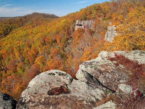
For a comparison, this is what the view usually looks like....
Despite the lack of views, it was still amazingly scenic thanks to the mixture of fog and fall colors.


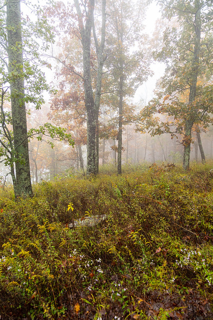
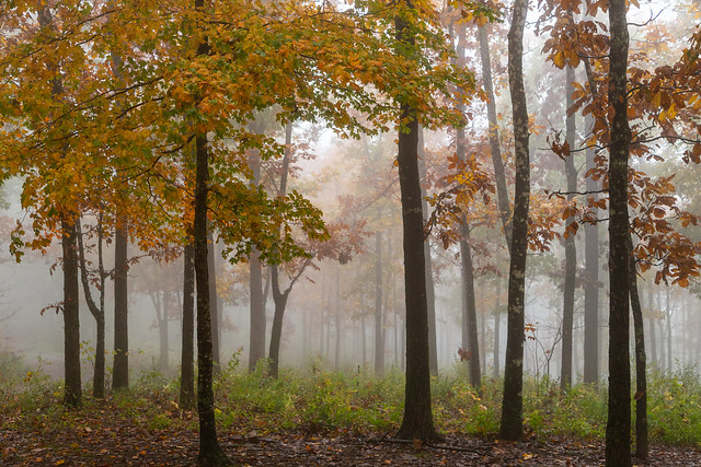
I slowly drove through the campgrounds looking for things to take pictures of, while the people camping were starting to wake up. The fog was joined with the smell of breakfast cooking and campfire smoke.

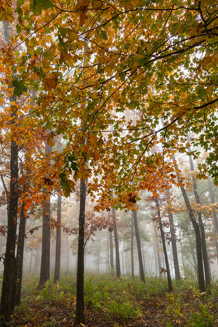
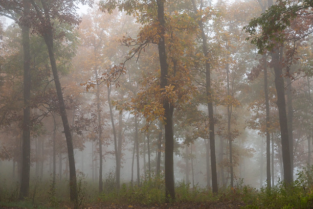


Since the fog didn’t seem like it would clear out anytime soon, I decided it was time to head out. My plan was to head down the mountain towards Cass, and then make my way towards Clarksville. There were a few places I intended to check out in that area.
My cellphone is a few years old and needs replacing. In its old age, it has decided to be frustrating and not like any of the charger cords I brought with me. So the battery level was low, and I decided to find my way out without the assistance of Google Maps in order to save what little battery life I had left. I drove by plenty of signs on the way up, so I assumed I would be able to make it down just fine. I mean I used to navigate just fine without cell phones in the past, what could go wrong?
You can probably see where this is going….
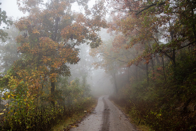
There was still thick fog on the muddy dirt roads, and it was also starting to rain. I stopped several times to take pictures:
I eventually passed by a sign saying I was only a few miles from Mountainburg. Which was surprising, since Mountainburg is in the complete wrong direction from where I thought I was going. Somewhere back in the rain and the fog I must have missed a turn. I was way off course. Whoops.
At Mountainburg (which sits below Fayetteville), I got on the freeway in the pouring rain and headed back east. I’d have to adjust my plans, but I’d still be able to hit at least one more place before going home to Little Rock….

No comments:
Post a Comment