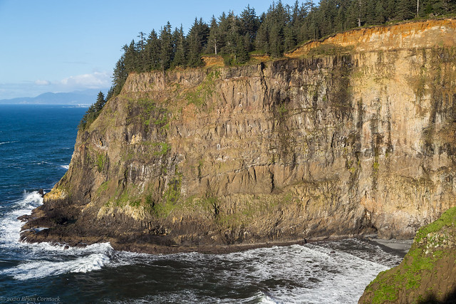
We drove to Cape Meares State Park, which sits on a headland over 200 feet above the ocean. There are some great views at the park, including this one looking towards these massive cliffs. The cliffs highlight the geologic activity that long ago created the Oregon coast. Here you can spot dark lines in the rock, which are basalt that was formed from lava flows about 15 million years ago. The lava came from a massive volcano that was located hundreds of miles away in what is now Idaho, and amazingly that volcano is still active (it has shifted over time thanks to the continental drift - it's now the volcano that sits underneath Yellowstone).

There is a small lighthouse at the end of Cape Meares, which was built in 1890. It's only 38 feet high and is the shortest lighthouse in Oregon. It operated until 1963, but it is still open for tours during most of the year (except when we were there, naturally).

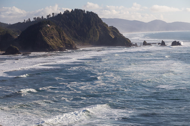
And the view looking south from Cape Meares, as the waves rushed towards the shore.

One of the beaches you can see from that picture is called Short Beach, so we headed down that way to explore. There is a trail to Short Beach that is short, but it is steep as it drops down the hill. It's a neat little spot, the beach is covered with stones that have been made smooth and curved after being exposed to the relentless waves of the Pacific.

Short Creek flows into the ocean here, passing by a nearby rock that is part of the Oregon Islands National Wildlife Refuge.


No comments:
Post a Comment