The post was to be about my travels the previous weekend. Thursday, the 23rd, was a long day for me. I woke up at 4:45 in the morning, in order to meet Barry in downtown Little Rock for a few pictures of the sunrise. I drove to work, where I was stuck at the office until I left early at 2:00. From there, I drove up to Fort Smith where I was scheduled to give a photo slideshow at a meeting for the Photo Alliance of Ft. Smith. I was a bit nervous about it, since I had never given a slideshow before. But I think it actually went well. No one booed me, or threw any rotten fruit at me.
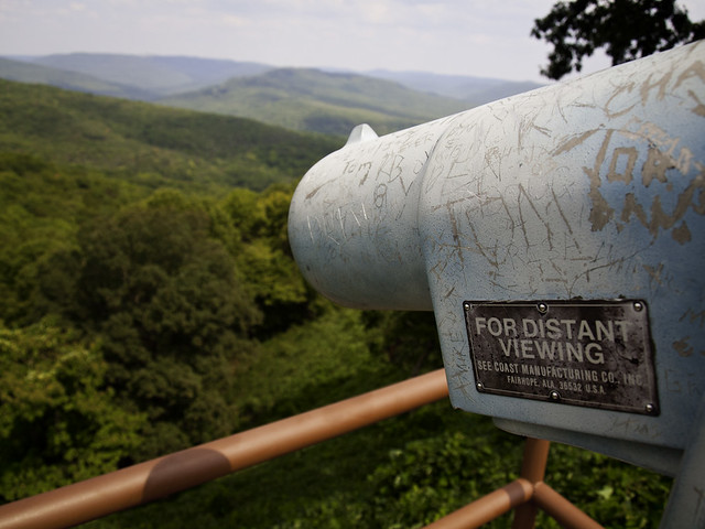
The next day, I drove up to Fayetteville to see my brother. Instead of just taking the freeway, I decided to take the scenic route. I drove up Hwy. 71, which ran past the new Lake Fort Smith State Park. I stopped and took in the view at the Artist's Point overlook:
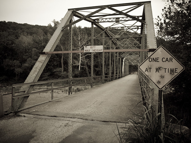
I had my radar set to find any old barns or cool old buildings alongside the road. There are a fair share of old tourist motels and camps, dating back to when Hwy. 71 was one of the only roads heading north into the Ozarks. Near the town of Woolsey, I saw an old bridge out of the corner of my eye and quickly turned around for a better look. The old bridge, over the White River, was built in 1925 and still carries traffic on it. The river below the bridge was completely dry.
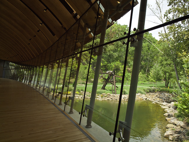
The next day we drove up to Bentonville and visited the Crystal Bridges Museum of American Art. There was a special exhibition there of works from The Hudson River School, showing landscape paintings from the mid-19th century. After that, we saw one of the broadside prints of the Declaration of Independence, which was also on display there. We then walked through the rest of the museum. This was my second visit to Crystal Bridges, and I'm still impressed with both the works on display and the architecture of the museum.
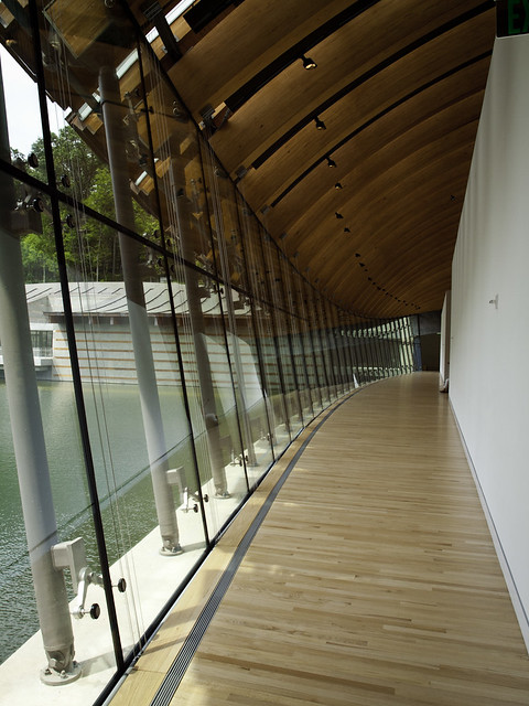
The only other time I'd been to Crystal Bridges was in January, when the grounds looked a bit brown and dead. So it was nice to see what it looked like with some green in the grass and trees...
My one complaint about Crystal Bridges still stands, however. There is no photography there. Photography is a form of American art, and should be represented there. So if Alice Walton is reading this, I'd be more than happy to sell her a few prints of some photos, to fill up the much needed photography void there.
After lunch, it was time to head on back home to Little Rock. I left Fayetteville and decided to again take the scenic route. At first, I was just going to take the old Pig Trail down to Ozark, and then I-40. But half-way along the drive, I decided to take a little detour. There was a light rain, which caused a thick fog to form along the tops of the Ozark mountains. I wasn't in too much of a hurry to get back, and perhaps I was inspired by seeing the old Hudson River School paintings that day. So I drove on, trying to see as much stuff as I could before getting to Little Rock.
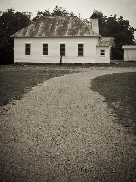
So instead of driving south to the freeway, I continued east on Hwy. 16. This took me by the tiny town of Boston. I turned off onto the dirt road that heads down to Kings River Falls for a bit, and stopped at this old school house. The school was built in 1909, but no classes are held there anymore...
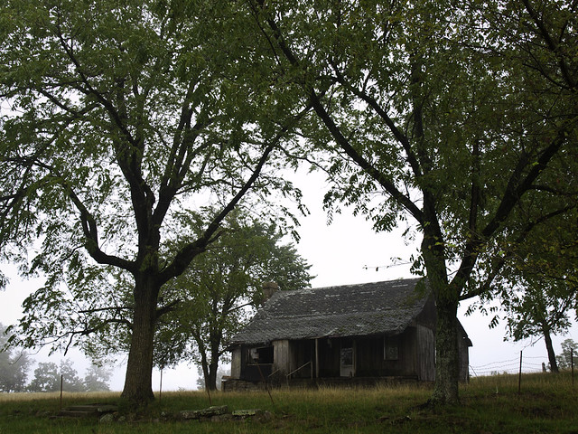
The adjusted plan was to follow Hwy. 16 to where it intersected with Hwy. 21, and then follow that south to Clarksville and the freeway. But the road was engulfed in fog, which made me want to continue my drive in the Ozarks. So I continued heading east, driving closer towards the Buffalo River. The drive took me past this old home, abandoned and sitting alone in the fog. I quickly turned around and took a few pictures...
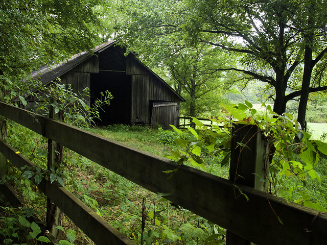
There was a lot of fog, which made me think it might be worth continuing on towards Boxley Valley. I love visiting Boxley, and actually hadn't been there in awhile (not since last October!), so I eagerly drove down the hills to the valley. But the sun was beginning to break through the fog, and by the time I dropped into Boxley most of the fog had already lifted. But that didn't stop me from taking a few pictures out there...

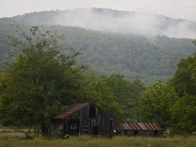
Since I've been to Boxley so many times, and taken so many pictures there, I tried to find some new angles and views. I stopped alongside the road for this view of an old barn, with the fog drifting along the top of the hill. There was a crowd of people just down the road, trying to get some pictures of the elk that were on the other side of the barn.
I drove down to Lost Valley, and got this shot of the road running by the old school house:

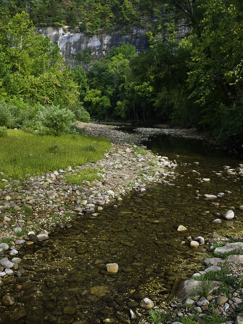
But by then the sun had come out, and the fog was gone. I decided to drive on to Jasper because I needed to get gas. But along the way, I drove down to the Steele Creek put-in, just to see what the river was like. The Buffalo was running very low, as was expected.
After that I drove down Hwy. 7 from Jasper, and got onto the freeway at Russellville. I finally made it home, after the long detour from Fayetteville. I added several miles on my car, and burned off several gallons of gas, but I think it was worth it...

Radosnej twórczości!
ReplyDeleteI mnóstwa gości... z pozdrowieniami z Warszawy.
ReplyDelete