Undaunted, I packed and headed up to the hills anyways. And true to form, the trip started out hot. As I left the parking lot at work, the thermometer in the car showed it was a steamy 102 degrees outside. My original plan was to camp overnight at Steele Creek, then wake up at sunrise and hopefully get some pictures of the river and bluffs there with some fog. Then when it got too hot, I would spend some time swimming in the river or sitting by it, enjoying the scenery. Even with the heat, it sounded like a good way to waste some time...
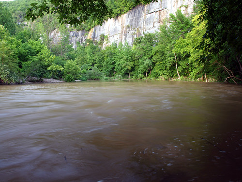
I drove north up Highway 7 and finally made it to Jasper. I opted to not make the customary visit to the Ozark Cafe, and drove over the bridge there over the Little Buffalo River. I looked down at the waters and saw that they were running high and muddy. Unbeknownst to me, the watershed of the Buffalo River received several inches of rain the day before. Which of course resulted in a significant rise in the water levels of the Buffalo, something that I had not planned on.
This year has been a bit drier than normal, and I thought the river would be running low when I visited. So I was a bit surprised to see it up so high.

The day I drove up there was July 16th, which just happens to coincide with the highest levels in the graph.
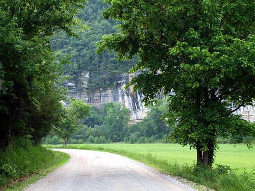
I drove on towards the campground at Steele Creek, and was welcomed by the majestic bluffs that tower over the river and fields below. It was great to visit those old bluffs again, like seeing an old friend you haven't seen in years. And to make it even better, apparently it had rained earlier in the day in that area, since the thermometer in the car showed it was a brisk 76 degrees outside. It was still muggy, but almost pleasant. Much better than than the heat down in Little Rock earlier that day.
I parked the car and went over to visit the river. It was indeed running high - the usually clear waters were brown and muddy.

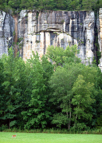
I headed over towards the campground, passing by fields that are overlooked by the massive Roark Bluff (which tower 220 feet above the river). Roark Bluff isn't the tallest bluff along the river, but it is one of the longest (stretching for nearly three-quarters of a mile).

If you look closely, there is a deer hanging out in the bottom left-hand corner...

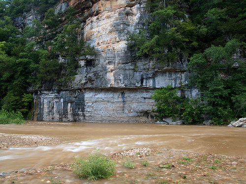
From the campground, I managed to make my way back down to the river. There were a few people trying to catch some fish, and others trying to collect firewood. I set up the camera for a shot of the river overflowing its banks and cascading over a gravel bar.

It began to get dark, but I tried to get a few more shots in. The smoke from campfires were drifting along the river, ringing the bluffs like fog. This was taken at twilight, just before it got too dark for the pictures to turn out...

My original plan for the night was to stay at Steele Creek, waking up before dawn to get pictures of Roark Bluff with some fog. But the high water along the river washed away those plans. So instead, I opted to drive a few miles further down the road and camp at Lost Valley. I hoped some fog might linger in the morning, creating some good pictures of the numerous historic buildings and barns in Boxley Valley. I drove the car up the steep hill from the Steele Creek campground, and back on the main road. It was nearly dark, with just a hint of a deepest blue on the horizon, as I dropped down into Boxley Valley....

No comments:
Post a Comment