Sunday, May 5, 2024

Stepp Creek

All the recent rains had left the Ozarks soaked, so it was no surprise that a thick fog had settled over the mountains that morning.

IMG_3758-2

IMG_3762

P4270276

And the thick fog lingered as we begun our first hike of the day, which went deep into the woods towards Stepp Creek.

IMG_3773

IMG_3777

P4270280

P4270282

The trail starts out on an old road trace, which was nice and flat and easy hiking. But to get to the creek, you have to go downhill. There wasn't much of a trail here, so we made our way as best we could (you might say we got our steps in on this visit to Stepp Creek). Soon we made it to the creek, which was incredibly scenic.

IMG_3792

This beautiful waterfall tumbles 25 feet over several tiers.

IMG_3798

Water poured over the bluff, creating a few other smaller waterfalls.

IMG_3802-2

From there, the creek flowed on. It eventually flows into the Little Buffalo River, which then flows into the Buffalo National River.

P4270285

We made the short hike over to this 12 foot waterfall, which isn't very tall but was still very photogenic. We spent awhile here taking lots of pictures, and also just enjoying time in the woods.

IMG_3816-4

IMG_3826-2

IMG_3835

IMG_3841-4

And then we decided to hike back to the car. Unfortunately, what hikes down must soon hike up. So we headed up and up the hill, and I was reminded yet again of just how out of shape I've gotten. But we finally made it, and then drove off to see another waterfall.

Friday, May 3, 2024

Fuzzybutt Falls

There is a song from the band Garbage called "I'm Only Happy When it Rains," which I should have played on my drive up to the Ozarks last weekend. It had indeed started raining as I got closer to the mountains, which made for perfect conditions for visiting and photographing waterfalls.

I met up with my good friend Zack at Falling Water Falls, a scenic little spot along Falling Water Creek. It's probably one of the most popular waterfalls in the state, and I was kinda shocked to see that there wasn't anyone else there. It's rare to drive by here and not see any cars parked along the road. I hurried to get a few pictures while the rain continued to fall.

IMG_3667

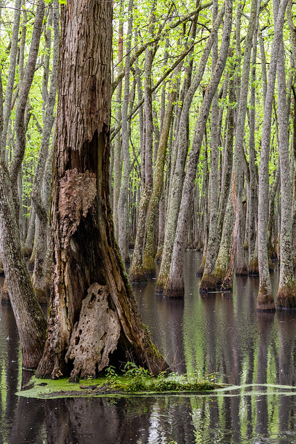
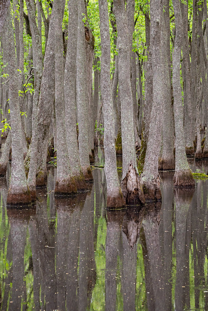
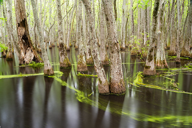
We then made the drive down the road to the trailhead to Fuzzybutt Falls. Which is a memorable waterfall, not just for its name but for its location. It was still raining as we started the hike, and the woods around us were already saturated. There was standing water on most of the trail, making a sort of creek through the forest. It was quiet out there, except for the raindrops hitting the leaves and the squishy sound of our hiking boots in the mud. The forest was so green and vibrant, like it was a rain forest. New Spring growth encroached on the narrow trail (including lots of poison ivy, always good to watch your step!).

IMG_3671

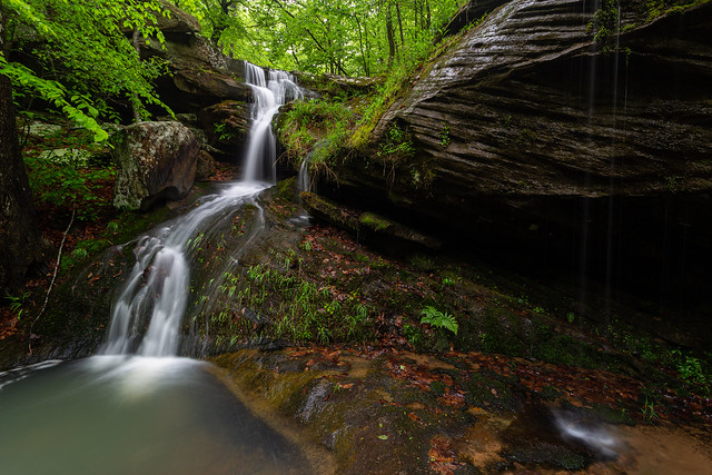
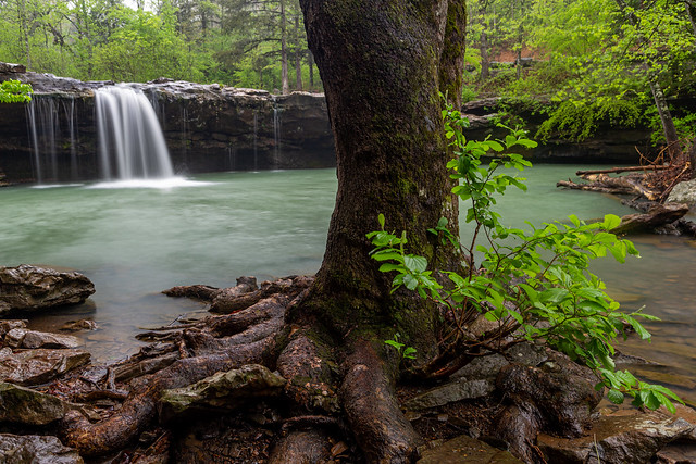
The trail runs by Falling Water Creek, and then turns and enters a box canyon. The canyon isn't that long, but the rock walls seem to tower above you. And at the end of the canyon is Fuzzybutt Falls.

IMG_3701-2

The falls are 16 feet, and empty into a shallow pool of turquoise water.

IMG_3706

A strong storm passed over us and heavy rain began to fall. But the high walls of the box canyon provided some great shelter from the rain. We took pictures from every conceivable angle, reluctant to leave. The light and the amount of rain was constantly changing. At one point it got really bright, like the sun was about to break through the clouds. Then it turned dark, almost like the eclipse a few weeks ago. Eventually we just stopped and watched the raindrops hit the water. It was a serene and magical time spent in the woods.

IMG_3713-2

IMG_3698

Fuzzybutt Falls gets its wacky name thanks to Tim Ernst, who wrote the 
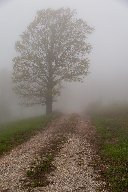
Arkansas Waterfalls Guidebook and is the best photographer in the state. In nearly all the photos in his waterfall guidebook, he includes a picture of himself standing by the waterfall to help give a sense of scale. But for Fuzzybutt Falls, the picture shows him standing by the falls without clothing. There is a blurry (or fuzzy) bit over his backside, which turned into the name for the waterfall. I refrained from recreating the shot while we were there, but did take out the infrared camera for this view of the box canyon.

P4260240

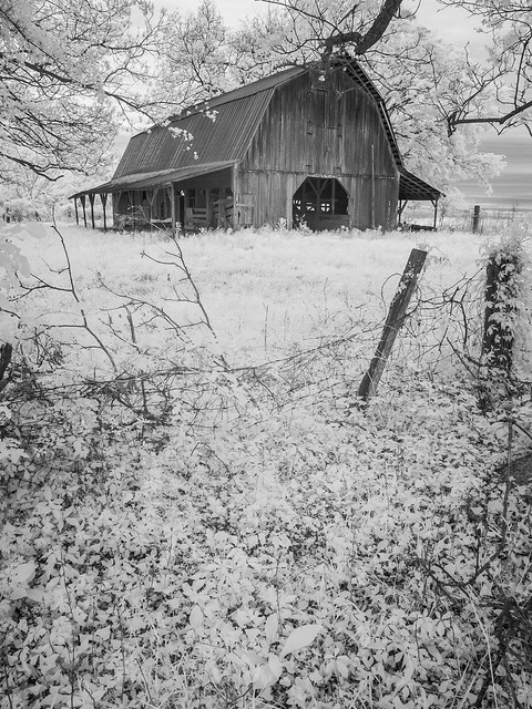
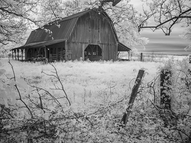
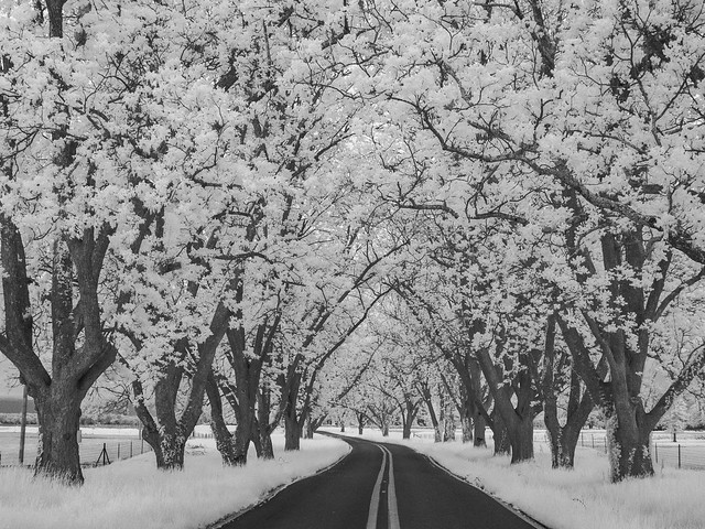
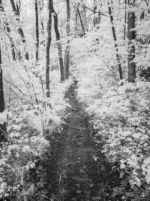
And then we headed back to the car. This was the view of the trail with the infrared camera:

P4260245

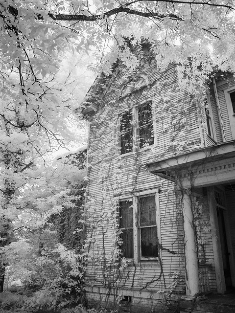
It continued to rain as we made it back to the car. It was time for dinner so we drove over to the small town of Witts Spring and got dinner at a place called Hillbilly Slims, which was pretty good. As we were about to leave, I hurried over to get a picture of this neat old tractor.

P4260255

IMG_3737

The rain continued to fall overnight, making perfect conditions for more waterfalls in the Ozarks the next day...

Tuesday, April 30, 2024

England

Not too far from Keo is the small town of England, another place that was established around agriculture (a large mural on a building there even shows cotton plants and farm equipment). There is a neat old house along the main road through England, and I always try to stop and get a picture of it whenever I'm passing through.

IMG_3564-2

It's another one of those old and abandoned places that just leaves more questions than answers. When was this house built? Who lived here? Why was it eventually abandoned? What did they think, when they closed the door on this house for the last time?

IMG_3574

IMG_3597-2

P4200206

P4200212

P4200215

Just a few blocks away, in the commercial area of town, is this intricate tile floor. These tiles were placed with precision and care, all part of a building that no longer exists. What replaced the building? Nothing, this is now used as a parking lot.

IMG_3633-5

England is home to some massive silos and gins, which probably now process soybeans and rice. This is one of the older looking silos:

IMG_3637

The little bit of machinery here is a Hydr-O-Flex Dumper, produced by the Air-O-Flex Equipment Company out of Minneapolis. It looks a little rusty, not sure if it's still working or not (I wonder if Air-O-Flex would be able to do any repairs?).

IMG_3642

Sunday, April 28, 2024

Keo

From Scott, I drove east to a small oxbow lake near the town of Keo. The lake was once part of the Arkansas River, but the river moved on and left the oxbow lake behind. It stands, filled with thousands of tupelo trees.

IMG_3397

IMG_3401

IMG_3488

Besides the tupelo trees, the lake is also home to a lot of duckweed. Which looks like algae but it's actually a tiny aquatic plant that floats on the surface of water. Since it was raining, there was a little bit of movement in the lake. The duckweed was caught in the current, drifting around and against the tupelo trees.

IMG_3452-2

IMG_3465

IMG_3471

I drove back to Keo, which is another old farming community. And one product that Keo is known for is pecans. There are several massive groves of pecan trees around Keo, which have probably helped make countless numbers of pecan pies over the years.

IMG_3536

Keo also has a good collection of historic buildings, including this old gin.

IMG_3557

Not sure what this plant is, which has spread out around the former gin. It almost looks like bamboo?

IMG_3558

P4200198

Thursday, April 25, 2024

Scott

The small town of Scott is close enough to North Little Rock that it could possibly be considered a suburb now, but it still retains a lot of its small-town charm and history. And a lot of that history revolves around agriculture, which is reflected in the large number of old farming buildings there.

IMG_3280-2

P4200100

It's a place that I find myself returning to often to take pictures, because there are so many things there to take pictures of (it also helps that it isn't all that far from home).

IMG_3321-2

Just down the road was this neat old barn...

IMG_3331

P4200103

Which was very photogenic so I took a bunch of pictures of it (my apologies to anyone who doesn't like old barn pictures).

P4200117

IMG_3329

P4200124

P4200144

P4200136

As you drive south from Scott, the road is lined with many tall and stately pecan trees. The trees were planted over a century ago on the grounds of an old plantation.

IMG_3359

P4200167

I headed east and passed by this old abandoned store. This was probably once the company store for the Jones Colony, which was an agricultural resettlement area. There used to be a sign here that once read "Hamiter-Little Estate 1879," but the sign may have been knocked down when the front overhang collapsed. The store was partially burned a few years ago, but it still standing.

IMG_3376-2

P4200177