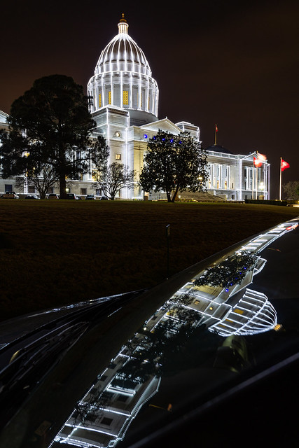
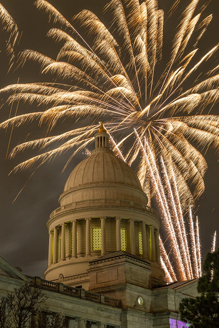
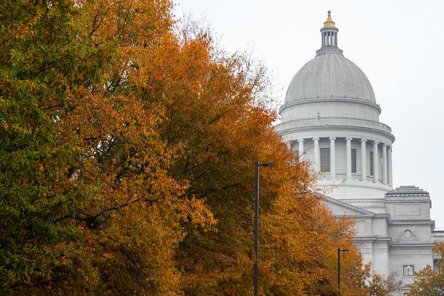
The week after Christmas always seems a bit awkward. The big excitement of Christmas is done, and kids are still out of school. Lots of people are out of work (except me) until after New Years too. It's also part of the actual "12 days of Christmas," but instead of giving someone I know a bunch of birds I tried to get out and take some pictures when I had some free time. One place I visited was the Arkansas State Capitol, which was still decorated in thousands of bright lights. Here are those lights reflected in my car's windshield:
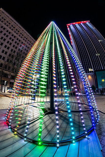
A few blocks down Capitol Avenue is the city of Little Rock's Christmas tree. This was taken on a windy night, which caused the lights to turn into colorful squiggly lines.
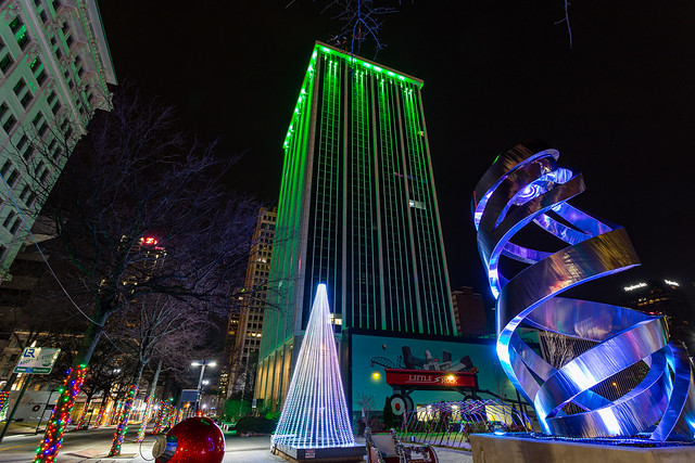
And a wide view looking down Capitol Avenue, of the tree and of a sculpture called "Helios."
I stuck the fisheye lens on the camera and scrambled to get this shot, looking up through the center of the sculpture:
And then on another night, I ended up getting this shot of a lonely Christmas tree shining out over a quiet city:
Happy New Years, everyone!
Thursday, December 30, 2021
Wednesday, December 15, 2021
Foggy Night
One of my favorite times to take pictures is on foggy nights. The mist and fog helps to add a unique atmosphere to the night sky, and changes how places look. So last week there was a little bit of fog in the air, so I headed out after getting the kids to bed.
I drove to downtown Little Rock, stopping first at the Pulaski County Courthouse (built 1887).
Nearby is the Robinson Center, which was built in 1939. Two nutcrackers were on guard on the front, I'm guessing because The Nutcracker play was going to be performed there?
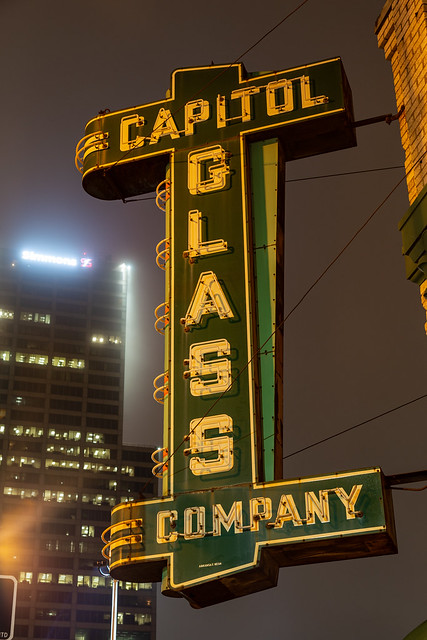
I got back in the car and started driving around looking for something interesting to get a picture of. I had to get gas, and ended up stopping at a gas station along Broadway. From there I spotted an old neon sign for a glass repair company (which is still in business). I went over and tried to get a shot of it, which was a little awkward because this was along a busy street and there was lots of traffic driving by.
In an empty parking lot a few blocks away I set up the tripod and got this view of the First United Methodist Church steeple and the fog-shrouded top of the Simmons Tower. The church was built in 1900, while the 40-story tower was added later in 1986.
I made one more stop at the Junction Bridge, which provided this foggy view of the skyline.
Sunday, December 5, 2021
Capitol Fireworks
Every year, the state of Arkansas is kind enough to drape about 100,000 lights all over the state capitol building, and then do a nice little fireworks show after they are switched on for the first time. It's a popular tradition, and I've never once heard anyone complaining about their tax dollars literally going up in smoke. It's also a great opportunity for photographers, and there were several people with tripods (and drones) out there trying to get a few pictures. Here's my contribution for the night:
Thursday, December 2, 2021
Pulaski Part Two
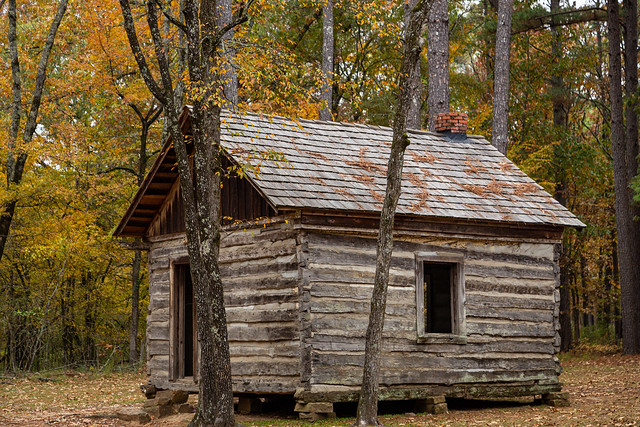
Fall colors this year have been surprisingly resilient, so here are a few more pictures of the trees showing off around Pulaski County. One weekend I hurried over to Burns Park, which had some nice colors still lingering around this old cabin. It was built in the 1850s and is actually the oldest standing structure in North Little Rock.
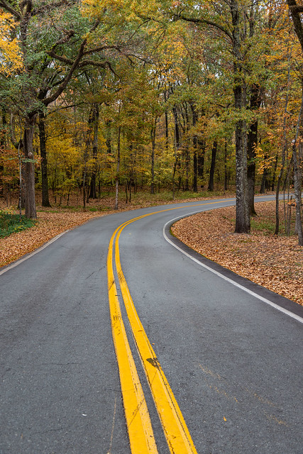
And just down the road I pulled over and got these pictures. Luckily there wasn't much traffic out there that afternoon.
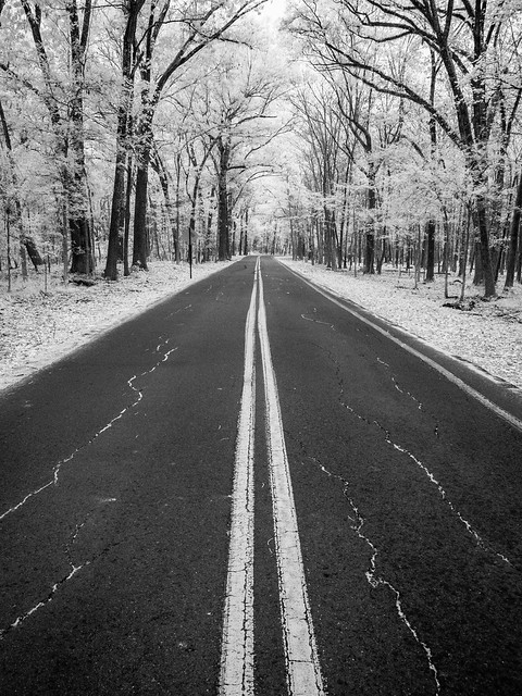
And the view with the infrared camera:
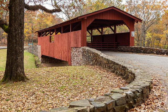
Further down the road is the park's covered bridge, which also had some nice lingering fall color.
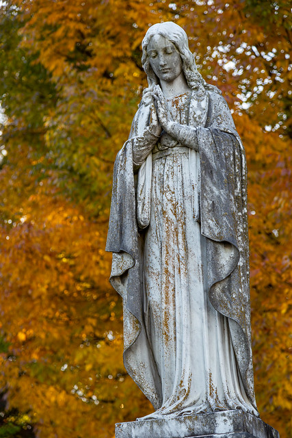
Another day, I headed to downtown Little Rock and made a quick stop at the historic Mt. Holly Cemetery. It was quick only because I didn't realize I was there right before it closed, so I only got a few pictures before the proctor was escorting people out of the cemetery so he could lock the gate. But I had just enough time to get these pictures of the fall colors behind these old marble statues.
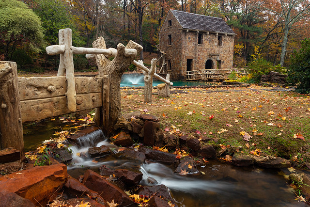
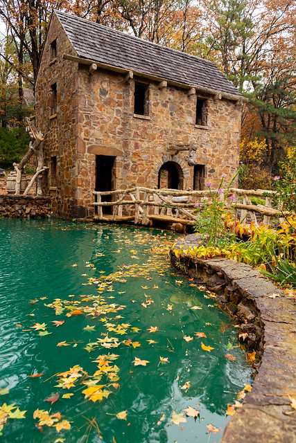
These statues were actually at the grave of Justin Matthews, the real estate developer who designed several prominent neighborhoods in North Little Rock. He was also the person who decided to build the landmark Old Mill. So it makes sense that our next pictures take us across the river to see the fall colors at The Old Mill:
Most of the trees there had already lost most of their leaves, which were on the ground or sitting in the bright green waters by the fountains.
From the Old Mill, I drove the car down Snake Hill and ended up at one of the many lakes in the Lakewood neighborhood. This one was reflecting some nice color in the trees.
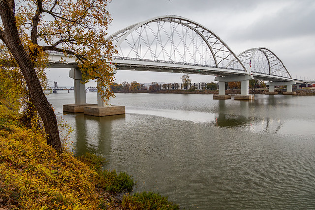
It was actually surprising where you would end up finding good fall color, like here along the Arkansas River near the new Broadway Bridge.
Or behind the State Capitol in what's called the Capitol Mall (which apparently has no place to do Christmas shopping or even a food court).
And lastly, there was even some fall colors shining out in the midst of the tall bank buildings along Capitol Avenue.
Tuesday, November 30, 2021
Pulaski
This year has turned out to be a pretty spectacular year for fall colors. Not only were the colors vibrant, but they seemed to stick around a lot longer than they have in years past. They've stuck around long enough that you can see fall colors now mixed with Christmas decorations. So here are a few pictures of some fall colors, taken around Pulaski County. Perhaps the best place to start would be from the top of the tallest peak in the county - Shinall Mountain. The mountain is 1,068 feet tall, and is home to several massive TV and radio towers that stand on its summit. From the top you have this view of Pinnacle Mountain, which is the second tallest peak in the county (it reaches a mere 1,013 ft).
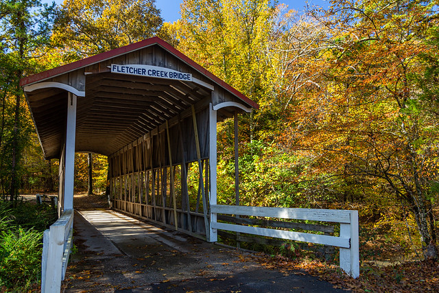
About 400,000 people live in Pulaski County, and yet there are still many places that are rural and lightly-populated (it helps that the county is big, and stretches from the edge of the Delta to the foothills of the Ouachitas). This old covered bridge sits hidden away down a country road...
This more modern bridge nearby was reflected in the waters of the Little Maumelle River.
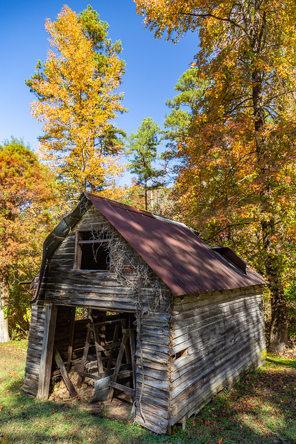
And along another rural road was this old barn...
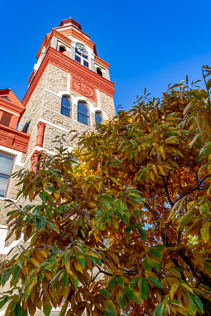
In downtown Little Rock there is the county courthouse, which was built in 1887.
On the eastern and southern edges of the county, you can find the swampy and flat lands of the Delta. One great place to visit is the Lorance Creek Natural Area, which protects a shallow groundwater-fed swamp.
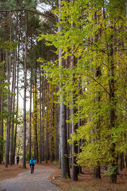
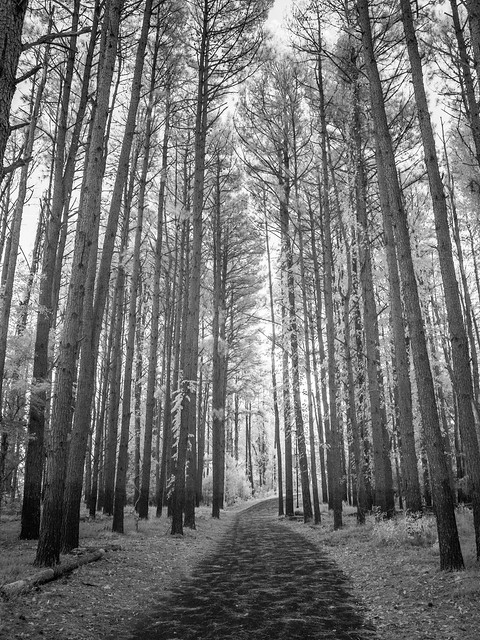
On the edge of Little Rock is Two Rivers Park, which contains about 1000 acres at the confluence of the Arkansas and Little Maumelle Rivers. Several miles of trails cross the park, including this popular trail that runs beneath these towering pine trees.
And then with the infrared camera:
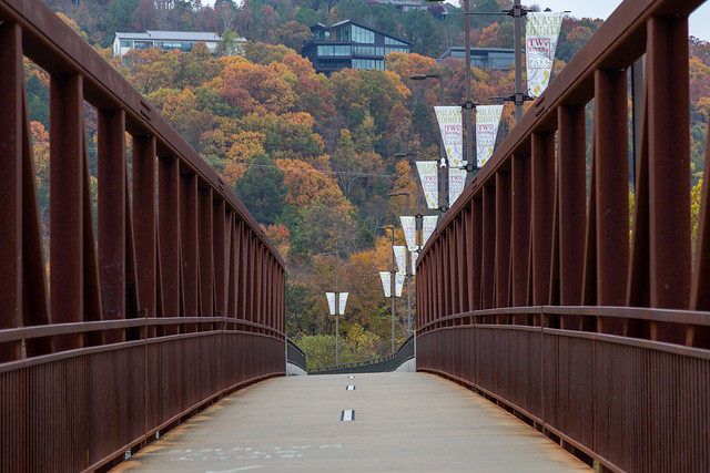
I headed back out to Two Rivers Park a few days later, and got this shot from the bridge that spans the Little Maumelle River. It makes you wonder how expensive those homes up on the hillside are.
And finally, in the plaza at the base of the bridge was this one tree that shined brightly on the otherwise overcast day:
Monday, November 29, 2021
A Big Dang Bridge
Recently I made another trip to the Big Dam Bridge, which is a great place to visit (for exercising or just taking pictures if you're lazy like me). The bridge was built in 2006, and it's hard to believe that it's now 15 years old. I remember before it was built and people were complaining how it was a waste of tax dollars and that no one would bother using it. But since it opened the bridge has proven to be a popular place for visitors. There were several people out biking and walking while I was out there taking pictures.
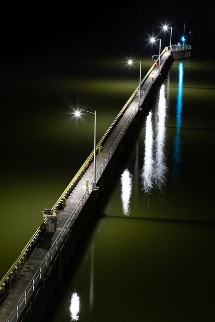
It was dark when I was out there, so there wasn't much of a view from the bridge. You couldn't really see much, besides the huge houses on the hill overlooking the dam and the line of traffic on the nearby I-430 Bridge. This part of the Murray Lock and Dam stood out, as it stretched out into the inky darkness along the River.
Saturday, November 20, 2021
Longpool
It was starting to get late as I was driving home, and there was just enough time for one more stop before it got dark. I hurried over to Longpool, which is a beautiful little spot along Big Piney Creek.
I made a quick drive through the campground, which was busy with people lighting campfires and making dinner. I stopped to get this quick shot, as it was starting to get dark.
Thursday, November 18, 2021
Steele Creek
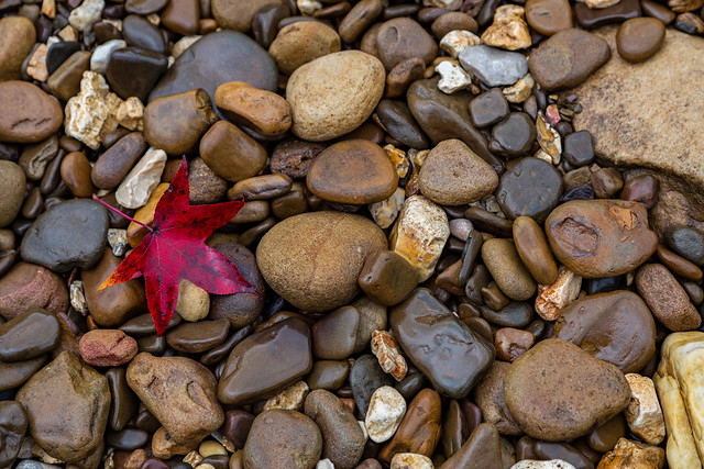
After hiking back to the car (and not managing to fall into the river again), I headed to another one of the prettiest places on the Buffalo - Steele Creek. After parking by the campground, I made the short walk to the river. The light rain/mist that had been falling all day had saturated the rocks along the shoreline, subtly bringing out their colors.
The scenary was enhanced by the fall colors, which were really popping along the river.
The river here is dominated by Roark Bluff, which is about 200 feet tall and runs for about 3/4 of a mile.
And one last shot, looking back at the bluffs. From this angle you can see how tall they are in comparison to the trees along the shore.
Monday, November 15, 2021
Pickle Hole
There is one part of the Buffalo River that I have been wanting to visit for years, so while I was at the River it seemed like the perfect opportunity to check it out. The place is called the Pickle Hole, and apparently it is a big dill...
There are apparently a few different way to reach this spot. I opted to follow the River, which started out easily enough. But the path I followed soon began to run up alongside a steep hillside, which turned into a scrabble along rocks and trying to not slide down the hill into the river. It would be easier, it seemed, to cross the Buffalo and continue hiking on the other side of the River. So I found a somewhat shallow place to cross, careful to not drop the camera in the water (I did stop to take this picture though):
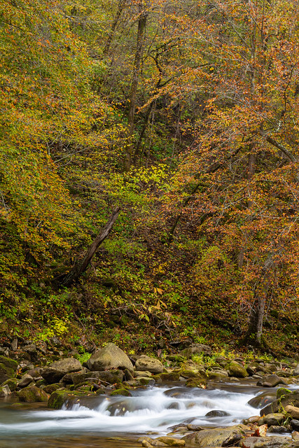
This way was much easier, although there were a good number of thorns that did were eager to ensnare passing hikers. But the Buffalo River is always scenic, and the fall colors along the water shined.
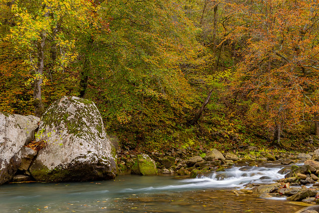
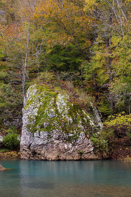
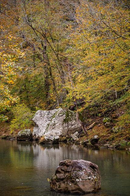
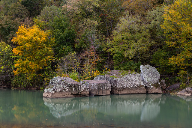
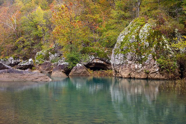
And finally I made it to the Pickle Hole, which is a deep pool of emerald water that was decorated with many huge boulders. It was beautiful.
Lately I've started bringing headphones with me so I can listen to music while I hike. I know this violates all sorts of rules about being in nature and enjoying the wonders of the wild (Thoreau would surely disaprove). But I do it because my brain hates me, and while I'm hiking it likes to play the most obscure songs randomly in my head. Usually they are songs that are annoying or ones that I don't really like. This has gotten worse since we've had kids, which has provided my brain with a jukebox's worth of bad children's songs to play (like Baby Shark or Cocomelon). But it was around here, while trying to get pictures of these rocks, that I accidentally dropped the headphones in the water. Of course they stopped working after their dip in the Buffalo. But no worries, the soundtrack in my head was ready. As if anticipating that I would do this, it had already queued up a random song (it was one that is on a lullaby playlist on my phone that we sometimes use to help get the baby to sleep).
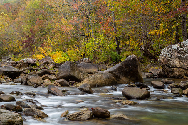
I was amazed at how pretty this stretch of the River was, and how great the fall colors were.
While on the edge of the River admiring the view, I stepped on a slick rock and my legs went out from under me. I ended up partially in the water, somehow able to keep the camera from smashing on the rocks or being submerged in the river. My poor tripod banged on the rocks and ended up in the water, luckily it wasn't broken (just soaked). The only damage was a cut on my leg from where I hit a rock. But that, along with hitting a deer a few hours earlier in the car, made it look like it was going to be a fun day out in the woods (and it wasn't even Noon yet).
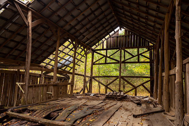
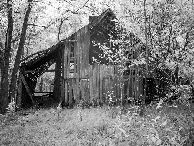
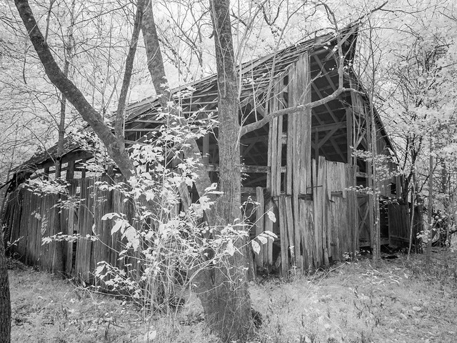
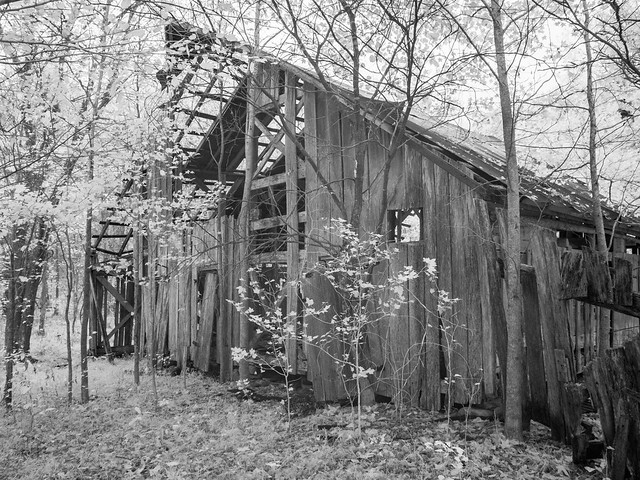
Pickle Hole gets its unusual name because this area was once the home of W.P. "Pickle" Edgmon, back in the olden days. It was more recently the home of the Hedges family, who the nearby Hedge's Pouroff is named after. The Hedges bought this land in the 1960s, and lived in a house that once sat on a hill above the river. The Hedges were conservationists, and were among the group that advocated for the Buffalo to be protected as a National River. In the 1990s, their home burned down. It's believed that it was set by people who were opposed to the land along the river being taken by the government (although that was never proven). Now all that remains of their home are two chimneys, and a lonely old barn.
The hike back was much less dramatic, I managed to not fall down or drop anything else into the water. I did stop a few times to admire the scenary on the way...
There are apparently a few different way to reach this spot. I opted to follow the River, which started out easily enough. But the path I followed soon began to run up alongside a steep hillside, which turned into a scrabble along rocks and trying to not slide down the hill into the river. It would be easier, it seemed, to cross the Buffalo and continue hiking on the other side of the River. So I found a somewhat shallow place to cross, careful to not drop the camera in the water (I did stop to take this picture though):
This way was much easier, although there were a good number of thorns that did were eager to ensnare passing hikers. But the Buffalo River is always scenic, and the fall colors along the water shined.
And finally I made it to the Pickle Hole, which is a deep pool of emerald water that was decorated with many huge boulders. It was beautiful.
Lately I've started bringing headphones with me so I can listen to music while I hike. I know this violates all sorts of rules about being in nature and enjoying the wonders of the wild (Thoreau would surely disaprove). But I do it because my brain hates me, and while I'm hiking it likes to play the most obscure songs randomly in my head. Usually they are songs that are annoying or ones that I don't really like. This has gotten worse since we've had kids, which has provided my brain with a jukebox's worth of bad children's songs to play (like Baby Shark or Cocomelon). But it was around here, while trying to get pictures of these rocks, that I accidentally dropped the headphones in the water. Of course they stopped working after their dip in the Buffalo. But no worries, the soundtrack in my head was ready. As if anticipating that I would do this, it had already queued up a random song (it was one that is on a lullaby playlist on my phone that we sometimes use to help get the baby to sleep).
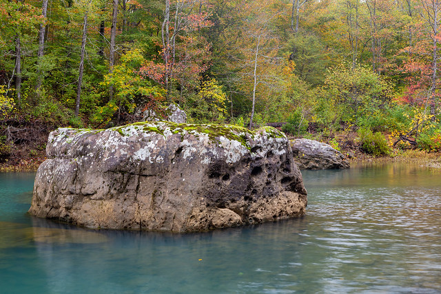
I was amazed at how pretty this stretch of the River was, and how great the fall colors were.
While on the edge of the River admiring the view, I stepped on a slick rock and my legs went out from under me. I ended up partially in the water, somehow able to keep the camera from smashing on the rocks or being submerged in the river. My poor tripod banged on the rocks and ended up in the water, luckily it wasn't broken (just soaked). The only damage was a cut on my leg from where I hit a rock. But that, along with hitting a deer a few hours earlier in the car, made it look like it was going to be a fun day out in the woods (and it wasn't even Noon yet).
Pickle Hole gets its unusual name because this area was once the home of W.P. "Pickle" Edgmon, back in the olden days. It was more recently the home of the Hedges family, who the nearby Hedge's Pouroff is named after. The Hedges bought this land in the 1960s, and lived in a house that once sat on a hill above the river. The Hedges were conservationists, and were among the group that advocated for the Buffalo to be protected as a National River. In the 1990s, their home burned down. It's believed that it was set by people who were opposed to the land along the river being taken by the government (although that was never proven). Now all that remains of their home are two chimneys, and a lonely old barn.
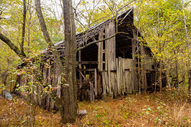
The hike back was much less dramatic, I managed to not fall down or drop anything else into the water. I did stop a few times to admire the scenary on the way...