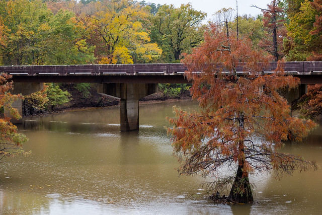
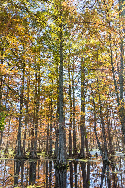
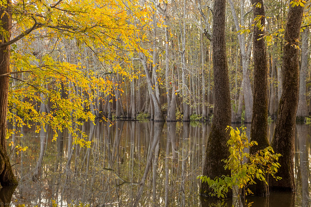
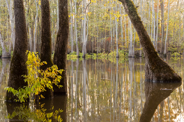
As a proud native of North Little Rock, I was pleased to head back to my Dogtown roots and check out a few places in my hometown that were showing off some good fall colors a few weeks back. My first stop was The Old Mill, which I know is a popular spot but it's one of my favorite places to drop in for pictures. My grandparents used to live just a few blocks away, so I have made many visits to this landmark over the years. On this visit, it was surprisingly empty of people (probably because it was pouring rain). In fact there were more ducks here than people, and they didn't seem to mind me trying to take a few pictures.
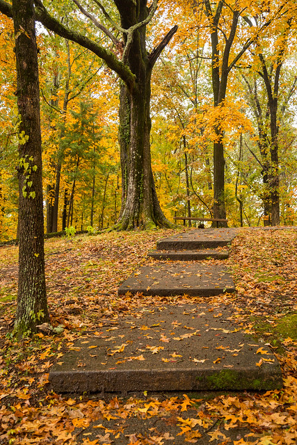
From there I headed over to Burns Park, where I stopped to get a few pictures in the rain. This path actually lead to a small cemetery.
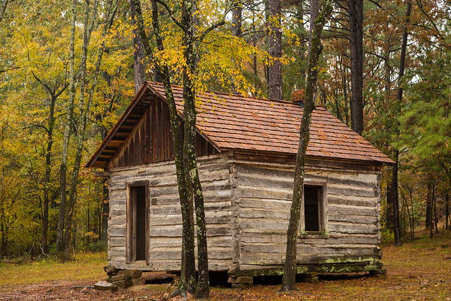
The person buried in the small cemetery actually lived in the small cabin the sits nearby, which was built before the Civil War. I think this humble little cabin is actually the oldest building in all of the North Little Rock.
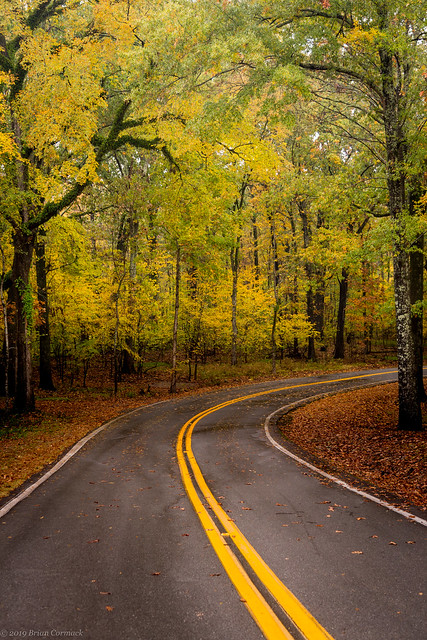
I drove a bit down the road and stopped to get this shot. Luckily there wasn't much traffic that day.
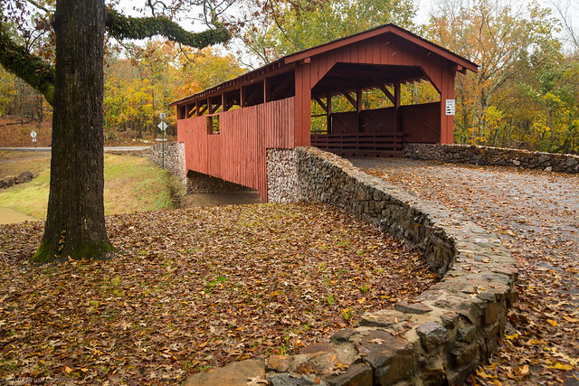
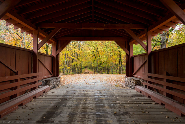
I headed over to the covered bridge, where a strong wind had picked up and created a sort of "leaf-fall," where the trees shedded their leaves in mass and sent them falling down in a sort of cascade. You can kind of see it in this shot, where the leaves created a few brownish-orange streaks against the red of the bridge.
And one last shot from Burns Park, from inside the covered bridge showing off the fall colors that were there before the wind knocked them all of the trees....
Monday, November 25, 2019
Sunday, November 24, 2019
Keo and Scott
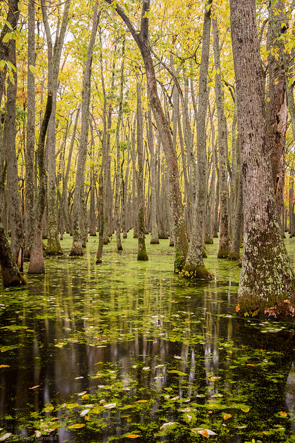
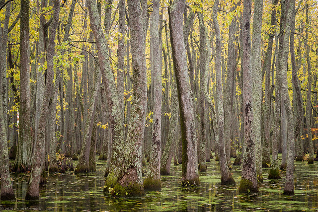
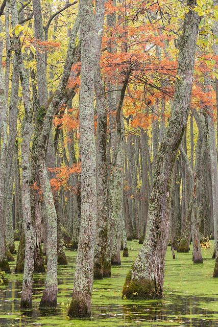
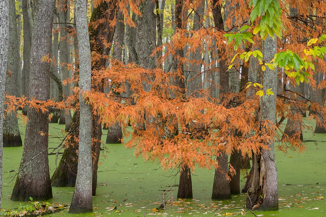
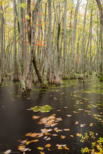
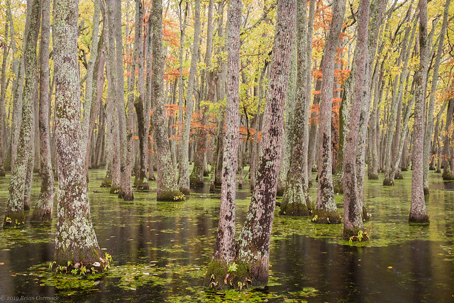
My work was kind enough to close down for Veteran's Day, so I took advantage of the time off and went to take a few pictures of the fall colors before they were gone. I headed out to a small lake just south of Keo, which is filled with tupelo and cypress trees. It was pouring rain, which helped to saturate the colors of the leaves (which were right at peak there).
The green in the water is actually duckweed, a tiny aquatic plant (and not algae).
It was raining heavily, but I had an umbrella that I used to keep the camera fairly dry. The wind tired to blow it away a few times but we all survived without getting too soaked.
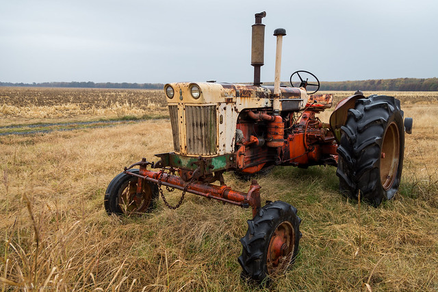
In a field behind the lake was this rusty old tractor, presumably its work is done for the season.
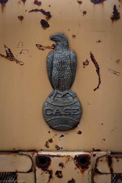
And a quick little detail from the front of the tractor - with this little eagle hood ornament.
There is an old abandoned church nearby, called Morris Chapel. The front of the church looks ok, but the roof in the back part of the building has collapsed. The sanctuary is empty except for an old piano which was covered with wasp nests.
And the lonely front door of the church...
And the view looking out from the church, through a broken window in the sanctuary.
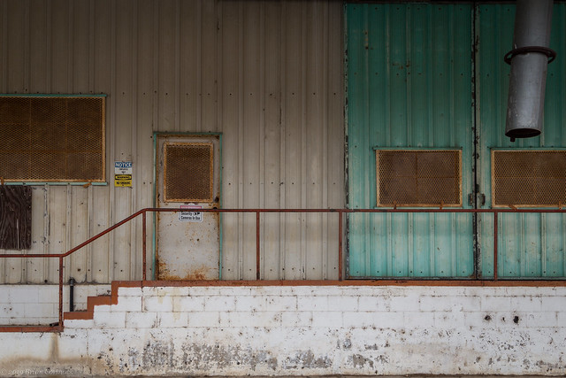
From there I drove through the small town of England and stopped by this old cotton gin, which sits right in the middle of town but looks to not be used anymore.
I drove on towards Scott as it continued to pour rain. There was still cotton growing in the fields, which looked soaked in the rains (good thing it was a cold rain, so the cotton didn't shrink like my clothes do if I wash them in warm water).
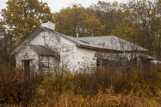
I made one last stop at this old church, which has long been abandoned. The back of the church looks like it has collapsed, and unfortunately the roof of the church looks like it will join it soon. According to Google Maps, this was once called Paradise Church.
And the side of the church, where the overgrown grasses and weeds at least were showing off some fall colors.
Monday, November 18, 2019
Hot Springs
We made a quick day trip to Hot Springs the other weekend, and decided to take Jonah to the National Park Aquarium so he could run around and look at the various fish and lizards. Among the animals at the aquarium is "Slow-Poke," an African spur-thighed tortoise that is kind enough to let kids pet him (or her?). But while our rambunctious three year old was around, Slow-Poke gave me a little bit of a side-eye while I tried to get his picture.
We went through a few other favorite places in Hot Springs before heading home. We ate lunch at Grateful Head Pizza, and got a drink at the Superior Bathhouse Brewery. While walking along Central Avenue, we did walk by the Medical Arts Building, which is one of the coolest buildings in Hot Springs.
Thursday, November 14, 2019
Pinnacle Mountain
Earlier this month I thought we were going to have lackluster fall colors this year, but Mother Nature proved me wrong. While most of the oaks turned brown, all the other trees managed to put on a decent little show. So to take advantage of the show the trees were putting on, I took the camera to work one day so I could take a few pictures on my lunch break. The office building where I collect a paycheck is located in the far western reaches of Little Rock, which means that I'm just a short drive away from Pinnacle Mountain State Park. So I headed there on a rainy day last week with a trusty umbrella to try to keep the camera dry.
I opted to do the Kingfisher Trail, which meanders along the Little Maumelle River. It had rained so much lately that the river was running high and a little muddy.
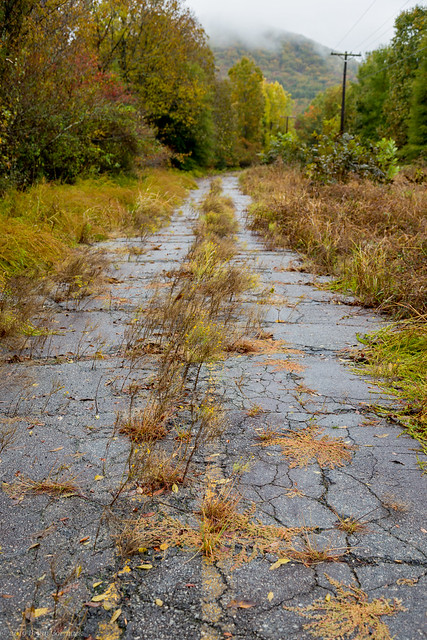
The next stop was the old bridge over the Maumelle River, which is reached by an old stretch of pavement that was all but abandoned in the 1980s when a new modern bridge was built nearby. The cracked and faded pavement is still used as part of the Ouachita National Recreation Trail, which runs 223 miles from Pinnacle Mountain to Oklahoma. Overgrown weeds and grass poke up from the asphalt, also showing off some fall color. In the distance was Pinnacle Mountain, partially obscured by fog.
The bridge was built in the 1940s, and is a popular spot for hikers and people fishing (at least judging by the large number of lures and bobbers that were accidentally strung on the tress and power-lines by the bridge, like beads in New Orleans).
And one last shot from the bridge. I had to hurry back to work after this, but I did find the time to stop at nearby Popeyes in order to try the chicken sandwich.
Tuesday, November 12, 2019
Dagmar
It had been awhile since Zack and I had been out taking pictures, so we headed out the other weekend to try to snag a few fall color pictures. We decided to head east to the Dagmar Wildlife Management Area near Brinkley. We avoided the traffic on I-40, and instead followed Hwy. 70 as it ran through small towns and past fields and wetlands. Hwy. 70 runs right by Hills Lake, which was filled with trees that were adorned with fall colors that were glowing brightly in the afternoon sun.
We then headed through De Valls Bluff, which sits along the White River and is one of the two county seats of Prairie County. Near the courthouse is the old St. Mary's Catholic Church, which was built in 1912 but was closed in 1986.
From there we made it to the Dagmar Wildlife Management Area, which is home to 9,805 acres of protected land. The crown jewel of Dagmar is Hickson Lake, which is one of my favorite places in the state to take pictures.
The shore of the small lake is lined with thousands of cypress and tupelo trees, which were still great even if they had already lost most of their leaves. But there was still some good color to be found out there.
Wednesday, November 6, 2019
Mountain View
Mountain View is a quaint little town with a well-preserved town square, but we didn’t get to spend too much time there. The weekend we visited was the same weekend as Beanfest, which took over the town square. We decided that being around a large group of people who had spent the day eating thousands of pounds of beans probably wasn’t a great idea.
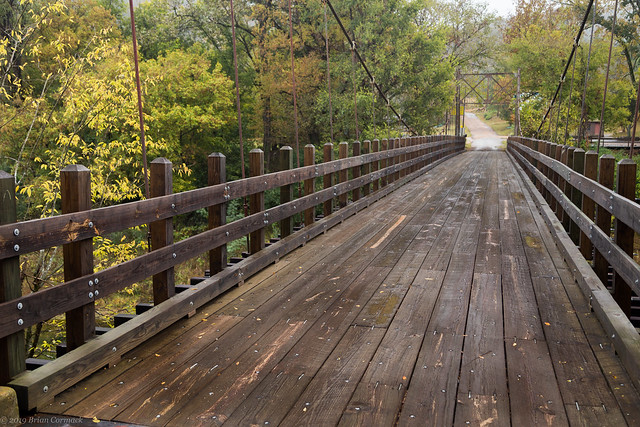
So we went to a few places outside of town – we went to Blanchard Springs and then drove out to Big Flat and visited Gravity Brew Works (highly recommended, great place). We also drove across this old swinging bridge over Sylamore Creek. The first swinging bridge here was built in 1914 but it was destroyed during a flood, it was replaced with the current bridge in 1943.
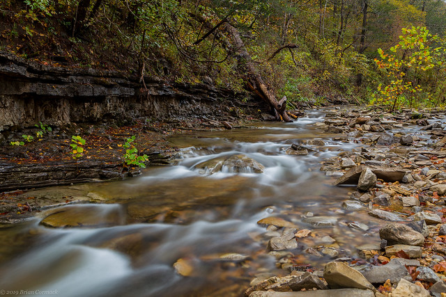
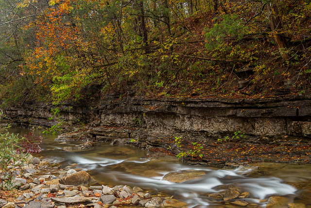
The cabin we stayed at overlooked a small creek, which had a good amount of water and some nice fall colors.
Before heading back home on Sunday, we made a quick stop at the town square in Mountain View. Since it was a Sunday in rural Arkansas, most of the stores were closed. But I was able to get a few pictures of the old county courthouse, which was built in 1922. It does seem very fitting that a courthouse in Stone County was made out of stone.
Monday, November 4, 2019
Blanchard Springs
The Ozark Mountains are home to a great number of springs, which range in size from small seeps to massive gushers where millions of gallons of water pour out every day. Most of the Ozark springs are in Missouri, but I believe that the prettiest spring in the Ozark Mountains is right here in Arkansas - at Blanchard Springs. The spring is small (only about 1,000 to 100,000 gallons of water flow out of the spring per minute, depending on local rainfall), but the spring tumbles out of a cave and creates a nice little waterfall.
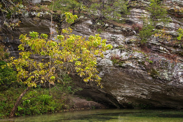
The waters from the spring have also spent the past few million years slowly carving and creating a vast system of caverns, producing the largest cave in the state. The stalagmites, stalactites and flowstone are beautiful and well worth a tour (especially in the summer since the cave is a nice and crisp 58 degrees). When I visited for these pictures it was a cold and rainy Autumn morning. But at least this view was taken while taking shelter beneath the bluff, which thankfully kept the camera nice and dry.
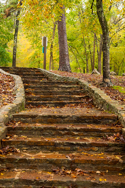
It was pouring rain so I had to take these pictures while trying to awkwardly shield the camera with an umbrella. This was taken along the short and paved path that leads to the spring.
The water from the springs flow past moss-covered rocks and then passes under two stone bridges, which were built in 1935 by the Civilian Conservation Corp.
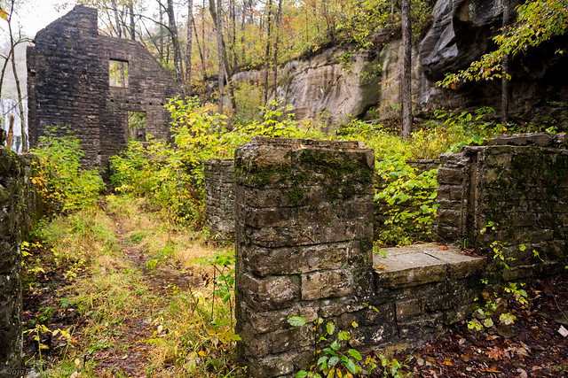
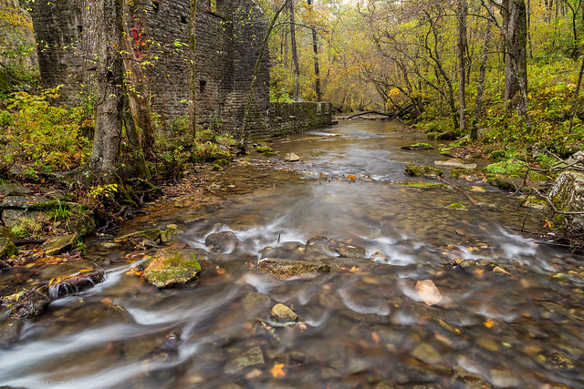
The springs are named after John Blanchard, who moved into the area after the Civil War and constructed a grist mill here. That mill was then replaced by another mill in 1900, which then operated until 1928. You can visit the ruins of that mill, which can be accessed from a wooden boardwalk that stretches into the woods. It was still raining when I went by there, with a bit of fog drifting through the trees that were showing some great fall colors.
The Civilian Conservation Corp had originally planned to completely restore the mill during the Depression, but the plans were stopped after the start of World War II. Instead the ruins were shored up and preserved, and still stand to this day.
Next to the mill is a small dam, which was expertly crafted to include a few small waterfalls.
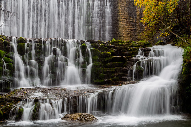
And just below the dam, a quiet pool in the creek was still enough to capture a little reflection of the waterfalls.
And a few shots from where the creek flows by the ruins of the old mill...
I headed back to the car, but made one more stop along the wooden walkway that passes through the woods above the mill.
I made a quick drive through the Blanchard Springs recreation area, which did have some great fall color that weekend.
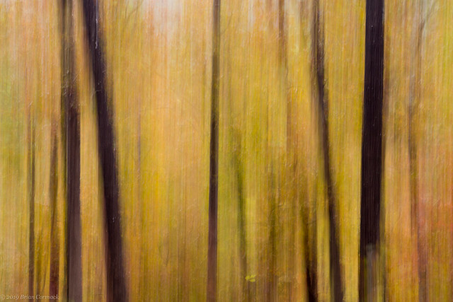
And one last shot, taken while goofing around with the camera while in a spot with some nice fall colors.
The waters from the spring have also spent the past few million years slowly carving and creating a vast system of caverns, producing the largest cave in the state. The stalagmites, stalactites and flowstone are beautiful and well worth a tour (especially in the summer since the cave is a nice and crisp 58 degrees). When I visited for these pictures it was a cold and rainy Autumn morning. But at least this view was taken while taking shelter beneath the bluff, which thankfully kept the camera nice and dry.
It was pouring rain so I had to take these pictures while trying to awkwardly shield the camera with an umbrella. This was taken along the short and paved path that leads to the spring.
The water from the springs flow past moss-covered rocks and then passes under two stone bridges, which were built in 1935 by the Civilian Conservation Corp.
The springs are named after John Blanchard, who moved into the area after the Civil War and constructed a grist mill here. That mill was then replaced by another mill in 1900, which then operated until 1928. You can visit the ruins of that mill, which can be accessed from a wooden boardwalk that stretches into the woods. It was still raining when I went by there, with a bit of fog drifting through the trees that were showing some great fall colors.
The Civilian Conservation Corp had originally planned to completely restore the mill during the Depression, but the plans were stopped after the start of World War II. Instead the ruins were shored up and preserved, and still stand to this day.
Next to the mill is a small dam, which was expertly crafted to include a few small waterfalls.
And just below the dam, a quiet pool in the creek was still enough to capture a little reflection of the waterfalls.
And a few shots from where the creek flows by the ruins of the old mill...
I headed back to the car, but made one more stop along the wooden walkway that passes through the woods above the mill.
I made a quick drive through the Blanchard Springs recreation area, which did have some great fall color that weekend.
And one last shot, taken while goofing around with the camera while in a spot with some nice fall colors.