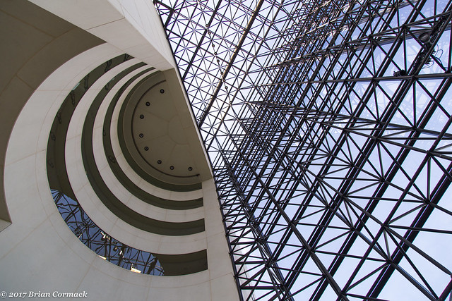
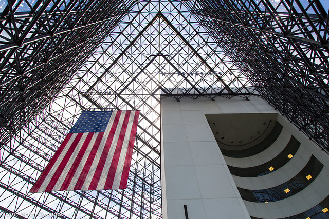
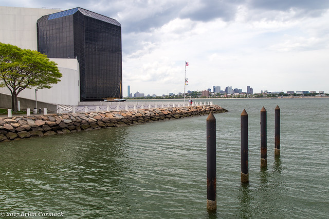
From Cape Cod, we headed back into Boston. Our first stop in the city was the John F. Kennedy Presidential Library, which sits on a point and overlooks Dorchester Bay, the Atlantic Ocean and downtown Boston. The library opened in 1979 and was designed by the architect I.M. Pei. It is a striking building, which is dominated by a large 115 foot-tall glass pavilion.
The library houses all sorts of exhibits about the Kennedy Administration and has a recreation of the Oval Office. I wished there was more information about his life before he became President, but they did have a few artifacts on display from his childhood and his time in the Navy. It was still a pretty interesting place to visit.
We just recently made a trip to Dallas, and went by Dealey Plaza where Kennedy was murdered. It was a sad and frustrating visit. People were rushing out into the street to take selfies on top of the white “X’s” that mark the spot where the president was shot. People were selling conspiracy theory junk on the grassy knoll, and others were accosting tourists trying to ask for money. It was tacky and disrespectful, so it was refreshing to visit a place that showcases his life and not just the tragic end to it.
This is the view looking back at the library, with downtown Boston in the background.
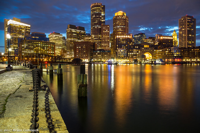
From there we headed into Boston, checked into our hotel and grabbed some dinner. After we put Jonah to bed I headed out and tried to get some pictures in downtown Boston. I ended up at Fan Pier Park, which sits along the Riverfront and provides some great views of the skyline.
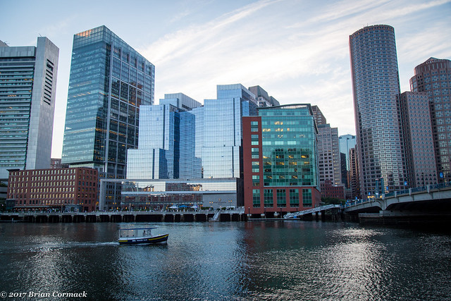
It was a pleasant evening out, with a nice breeze. The bars and restaurants along the water were packed with people, and the park was filled with lots of people out walking (and a few other people taking pictures).
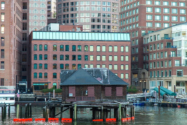
Not sure what this old building in the water is, but it looked cool…
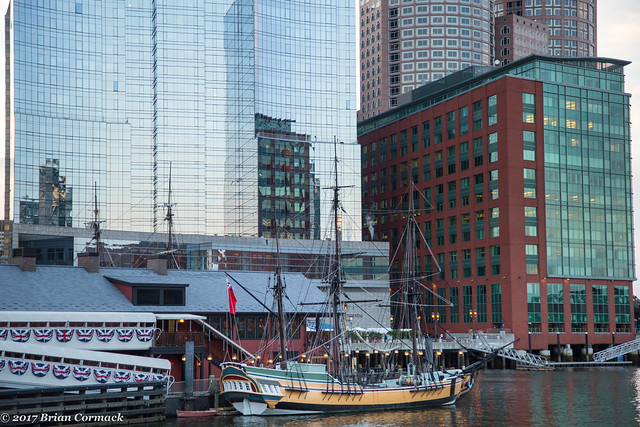
Just a short walk away is the Boston Tea Party Museum, which commemorates the spot where demonstrators dumped crates of tea into the harbor in 1773 to protest Tea Act. The protest helped lay the foundation for the Revolution.
Fan Pier Park provides some sweeping views of downtown Boston, and I grabbed a spot and waited for sunset. Along with other tourists and locals out, there were lots of seagulls and even a few seals out in the water.
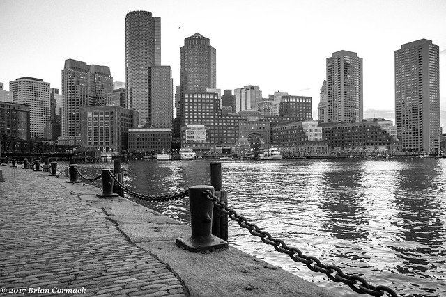
After sunset, the sky and the buildings lit up with deep colors. It was a great view of downtown Boston, which is a vibrant and historic city. It’s been awhile since I’ve been to an American History class, so I had forgotten how much history has happened in this city over the past few centuries. Boston was founded way back in 1630, making it one of the oldest cities in the country.
The next day we headed out and hit the Freedom Trail, the 2.5 mile path that connects several sites that were important to the Revolutionary War and the history of Boston. It ended up being a little bit of a hectic visit. I’ve been a bit spoiled, I guess, by living in Little Rock. It is technically a city, but it's nowhere close to being a big city like Boston. We never have to worry about finding a place to park downtown, or really having to deal with any big crowds. But going through the Freedom Trail with a stroller was maybe not the best idea. It didn’t help that Boston was holding their Pride Parade that day, so lots of streets were closed and the narrow sidewalks were packed with people.
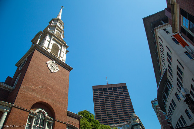
But we joined the crowd and started the Freedom Trail at Boston Common. The trail passes by the Massachusetts State House and then goes by the Park Street Church, which was built in 1810.
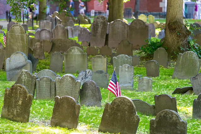
Next to the church is the old Granary Burial Ground, which was founded in 1630 and is the third oldest cemetery in Boston. The cemetery is the final resting place for many Revolutionary War figures, including John Hancock, Robert Paine, Samuel Adams and Paul Revere. The cemetery also holds the graves of the people killed during the Boston Massacre.
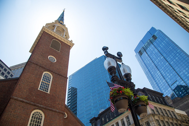
We went into the King’s Chapel and Burial Ground, but the bright sun was a little harsh and the pictures didn’t really turn out. We then went by the Old South Meeting House, a church that was built in 1729 and was the spot where the Boston Tea Party was organized. Due to its association with the Revolution, British forces occupied and gutted the building in 1775, filling the interior with dirt so that it could be used to practice horse riding.
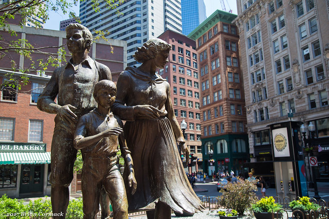
Just outside of the Old South Meeting House was this memorial to the victims of the Irish Famine.
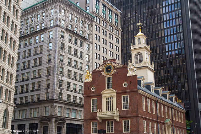
We followed the Freedom Trail to the Old State House, which was built in 1713 and is one of the oldest public buildings in the country. Before the Revolution, the building served as the seat of the colonial government. It was in front of the building where the Boston Massacre occurred in 1770.
We went next to Faneuil Hall, where we got lunch at the touristy Cheers restaurant there (the beer was good, at least). We then walked into the North End, got a cannoli from Modern Pastry and then went by Paul Revere’s House. There were a lot of people waiting in line in front of his house, so my pictures didn’t really turn out. But by then we had a tired little baby and we needed to return the rental car to the airport, so we headed back to the hotel.
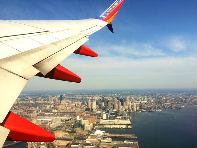
The next morning I had to fly back home, so we again woke up Jonah and packed up the bags and headed to the airport. I tried to get one last shot of Boston, from the window of the plane as we took off. Our visit to Boston was short, and we didn’t see everything that we wanted to see. But we will definitely try to return again soon!
Thursday, June 22, 2017
Wednesday, June 21, 2017
Cape Cod
Earlier this month, we flew up to Massachusetts for a quick visit to Cape Cod and Boston. We headed up there to meet up with an old college friend who was there on vacation with his girlfriend. He lives in England now, and he’s only been back to the US once since college, so we definitely wanted to try to meet up when we were all back on the same continent again.
I was a little nervous about the flight to Boston, since we would be bringing a 16 month old baby with us on the plane. Our flight out of Little Rock was early, so we had to be at the airport by 5:00 in the morning. So we showed up at the airport with a tired and already cranky baby, much to the delight of all the other travelers at the airport. But Jonah actually did really well on the plane. On our first flight to St. Louis he played and was quiet. On the second flight to Boston he cried for a few minutes and then slept for the remainder of the two hour flight.
We landed in Boston, got the rental car and finally started driving towards Cape Cod after pushing through the traffic in Boston. I had never been to New England before, but after this trip we are now tempted to just sell everything and move right up to Cape Cod (even if the winters are perhaps a bit colder than what I’m used to in Arkansas). Cape Cod is beautiful, and we fell in love with it. It has a perfect combination of things – history, beaches, great restaurants and some amazing architecture. It was also very peaceful, with a relaxed and laid-back vibe that was contagious.
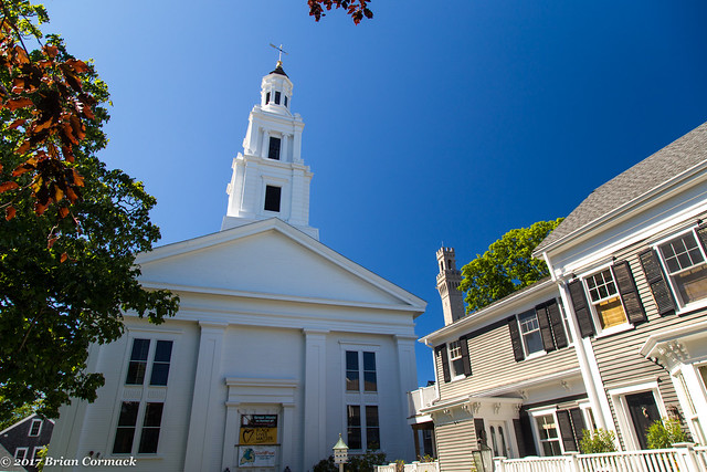
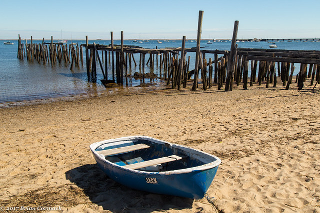
The first town we explored was Provincetown, which sits at the very northern tip of Cape Cod. It’s a very quant and picturesque little town, with a charming collection of well-preserved old buildings. I thought it looked like a movie set, with a busy downtown area that had lots of different little shops and galleries and seafood restaurants (I had the lobster roll at The Canteen, very good). This is the old Unitarian Universalist Meeting House, which was built in 1847.
People have been living or visiting this spot on Cape Cod for centuries. The area had long been the home of the Nauset Native American tribe. In 1620, the Pilgrims on the Mayflower stopped in the harbor of what is now Provincetown before they reached Plymouth. It was here where the Mayflower Compact was written. The town of Provincetown was settled in 1700 and officially incorporated in 1727. The town grew as a center for fishing and whaling, but it also became a haven for artists and tourists.
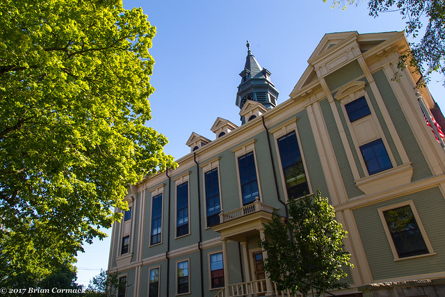
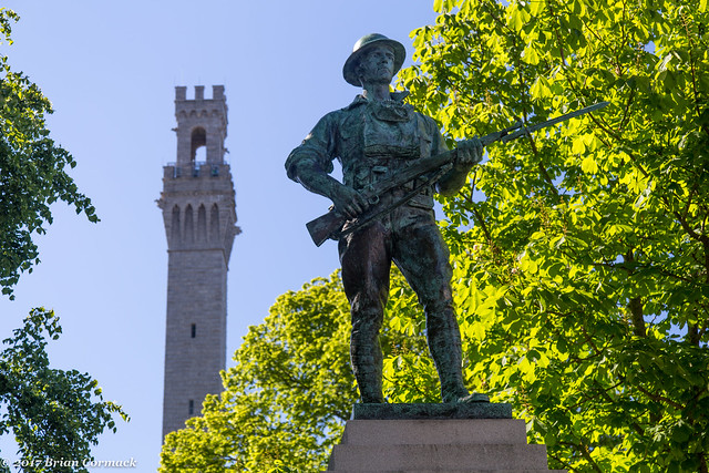
This is the Provincetown Town Hall, which was built in 1885. Out front was this war memorial, and in the background is the Pilgrim Monument, a 250 foot tall granite tower that commemorates the Pilgrims stopping at the Provincetown harbor in 1620.
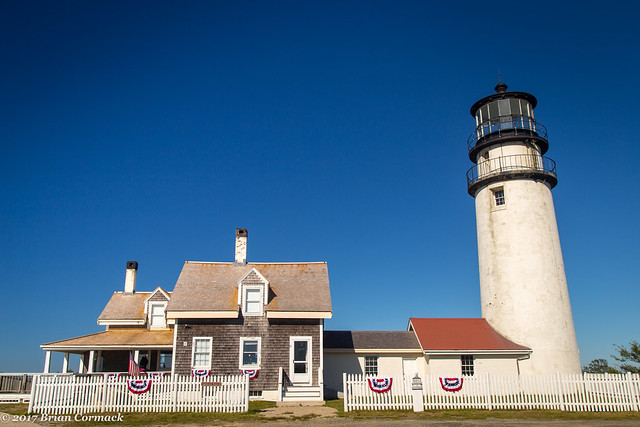
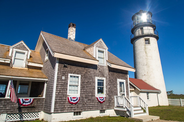
After lunch and a few hours wandering the streets of Provincetown, we headed back to our hotel. Along the way, we stopped by the Highland Light in the Cape Cod National Seashore. The Highland Light is the oldest and tallest lighthouse on Cape Cod.
In 1797, George Washington authorized a station and lighthouse to be constructed here, since the area around the Cape had become known as the "Graveyard of Ships." The current brick lighthouse here was built in 1857, and it is still in use. The light that is used now is over 620,000 candlepower, which makes it the most powerful lighthouse in New England. Ships can see the beacon for over thirty miles. In 1996, the lighthouse was moved 450 feet to the west, due to erosion weakening the cliffs below the lighthouse. Here is one last shot of it, with the sun reflected in the lighthouse glass.
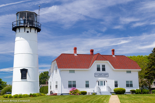
The next day we headed over to Chatham, which sits on the southern tip of the Cape (in the “elbow”). Our first stop was the Chatham Lighthouse. The first lighthouse was built here in 1808, which makes it the second oldest lighthouse on Cape Cod. The current cast iron and brick lighthouse was built in 1877. Today, the former lighthouse keeper’s house is used by the US Coast Guard.
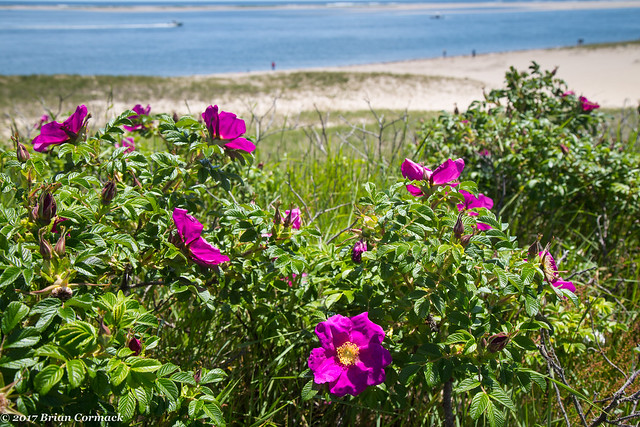
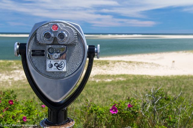
The lighthouse overlooks a beautiful sandy beach, which stretched down into the ocean.
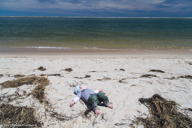
We took Jonah down to the beach and let him play around. Living in a landlocked state, he hasn’t had much experience at the beach and it was probably a different experience for him (he only tried to eat the sand once). He was determined to crawl out into the water.
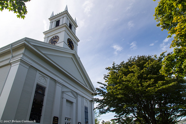
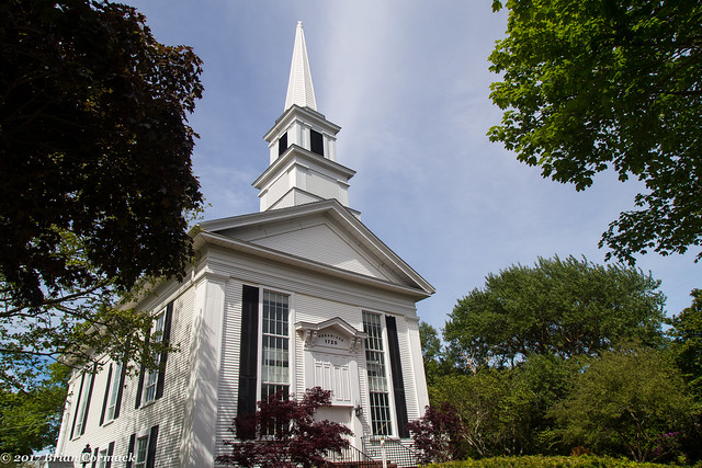
After that we headed into Chatham, which was first settled in 1665 and incorporated in 1712. Chatham was a prosperous town in the 18th century, thanks to fishing, whaling and shipping. Now the town has a great collection of old buildings that have been well preserved. It’s another quaint and charming little town.
This is the First Congregational church, which was built in 1820.
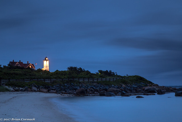
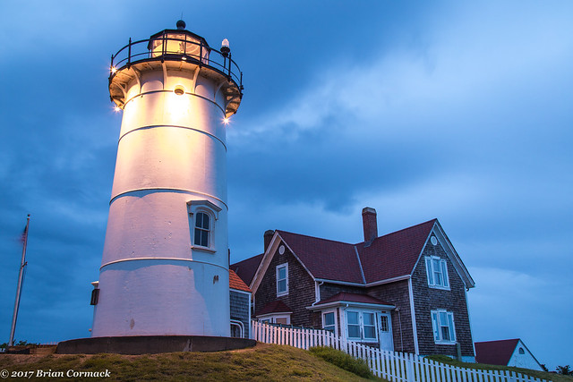
There was one lighthouse that I really wanted to get some pictures at twilight, but didn’t have any time at night since we were hanging out with our friends. So the only option was to head out in the early morning to get some pictures of it before sunrise. So I woke up early, snuck past the baby sleeping in the Pack & Play, and headed out to take some pictures.
The lighthouse was about 45 minutes away from our hotel, and it was pouring down rain. I wasn’t too excited about standing out in the rain while taking pictures, so I stopped at a gas station to buy an umbrella in order to at least make an attempt at keeping the camera dry. But of course, I had left my wallet back at the hotel.
I finally made it to the lighthouse, just as the sky began to lighten in the east. The rain actually tapered off, and I hurried to get a few pictures while the light was good. Nobska Lighthouse stands 42 feet tall and sits along the rocky shore that overlooks the Vineyard Sound and Buzzards Bay.
The first lighthouse was built here in 1829, and the current iron and brick lighthouse was built in 1876.
I headed back home and managed to get a few hours of sleep. Sadly, this was the end of this visit to Cape Cod. We packed up the car and drove back into Boston. But I know that we will definitely return to Cape Cod, we barely scratched the surface of all the things to see there. Hopefully we will be back soon!
Thursday, June 15, 2017
Riverfest
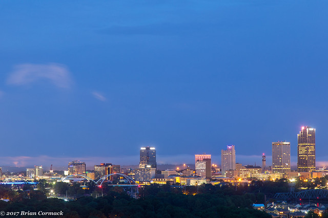
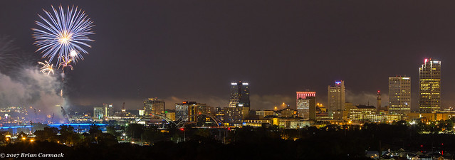
The Riverfest music festival was held the first weekend of June, which ended with the traditional fireworks show on Sunday night. I wanted to try to get some pictures of the fireworks, so I headed out to Fort Roots in North Little Rock, which has one of the best views of downtown Little Rock.
It is a neat area not just because of the view overlooking the city. Fort Roots sits on Big Rock Mountain (which was named by early explorers because it was a landmark along the river, like the little rock just downstream on the river that the capitol city was later named after). In 1893, the US military established a fort on the mountain. Although Fort Roots is now home to a VA hospital, there are still many old buildings dating back to the turn of the century that are still standing and which have been added to the National Registry of Historic Places.
Eventually, the fireworks show started and I managed to take a few pictures that turned out ok. Here is one, with the fireworks and the Little Rock skyline.
Monday, June 12, 2017
Two Rivers Bridge
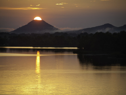
For just a few days each year, if your timing is just right, you can stand at a certain spot on the Two Rivers Bridge in Little Rock and watch the sun set directly over the top of Pinnacle Mountain. This is a shot from a years ago when I was actually able to get a decent picture of it:
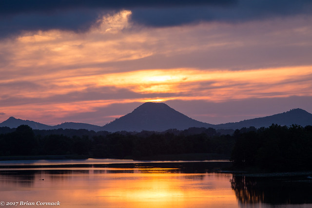
Conditions have to be just about perfect for the shot to turn out. If there are any clouds floating along the horizon, then they will probably get in between you and the sun and mess up the shot. That happened twice last week, when I tried to get a newer shot of the sunset. Each night had just the right amount of clouds pass through and block the sun. On the bright side, it did at least make for a decent sunset one night. At one point the light from the sun looked like a cone of light erupting out of the volcano-shaped Pinnacle Mountain.
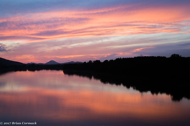
And pretty soon afterward the entire sky lit up with soft pink and orange colors, which were reflected in the waters of the Little Maumelle River.
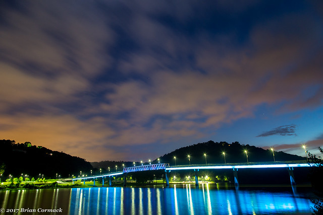
When the sunset had faded away, I headed across and got a few pictures looking back at the bridge from the park that sits along the peninsula at the confluence of the Little Maumelle and the Arkansas Rivers. It's a popular spot, there were lots of people out biking and walking. And there were also thousands upon thousands of insects swarming by the trees along the river. I couldn't tell what kind of bug they were, but as it got dark they all flew towards the lights on the bridge (where many were caught in the numerous spider webs that were strung up on the bridge railings and light poles). There are probably a ton of fat and happy spiders that live on the bridge.
Sunday, June 4, 2017
Dallas
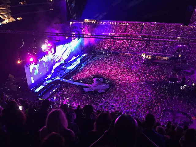
We headed down to Dallas over Memorial Day weekend so we could catch the U2 concert at AT&T Stadium. It was my first time to ever visit the stadium, and while it looks massive on TV it is even bigger in person. We were able to see a lot of the stadium, since our tickets were pretty much at the very top (there were only three rows left before the roof started behind us). The view for football games is probably fairly decent from up there, but not really all that great for concerts. The band was tiny, just a few minuscule dots moving about on the vast floor below us. To make things more frustrating, the sound bounced off the roof of the stadium, so both U2 and the Lumineers (the opening act) were very echoey and it was difficult to hear things all that well.
I know it's silly to complain about something as silly and unimportant as concert acoustics, but when you spend a lot of money on tickets it's a little frustrating. But from what I could hear, it was a pretty good concert.
Our view, there is a band performing somewhere down there...
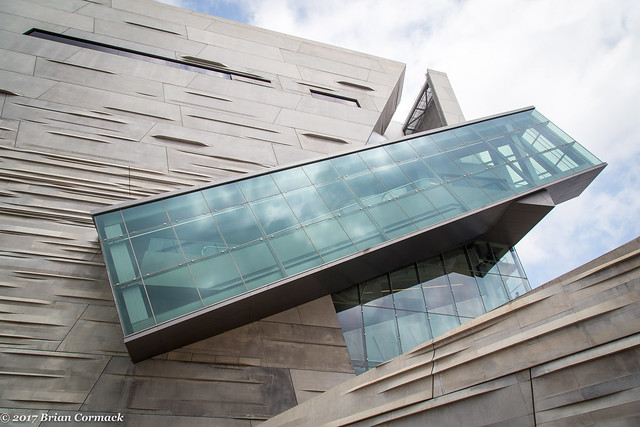
The next day we headed out to do some sightseeing in Dallas. We ended up at the Perot Museum of Nature and Science, which is actually named after Ross Perot.
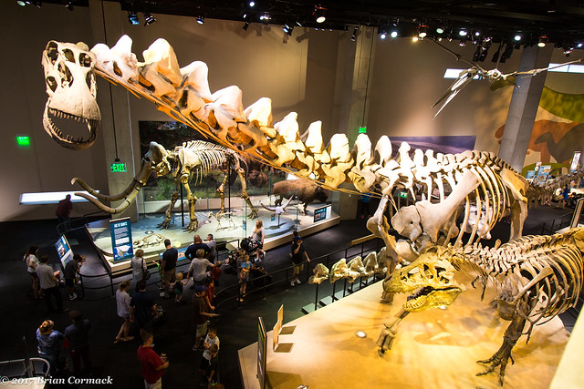
The museum seems more geared towards kids, but there was some interesting exhibits there. Including a few dinosaurs!
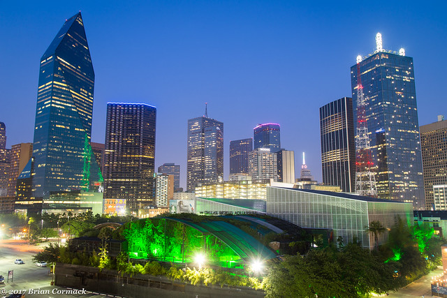
Later that evening, I was able to head back downtown to get a few more pictures of the Dallas skyline. I ended up at the top of parking deck that provided this view. In the foreground is the Dallas World Aquarium.
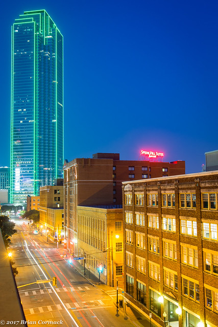
And one last shot, with the 72-story Bank of America Plaza looming in the background. The skyscraper was completed in 1985 and is still the tallest building in Dallas, and the 28th tallest building in the US.