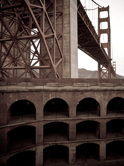
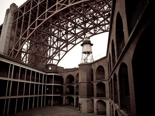
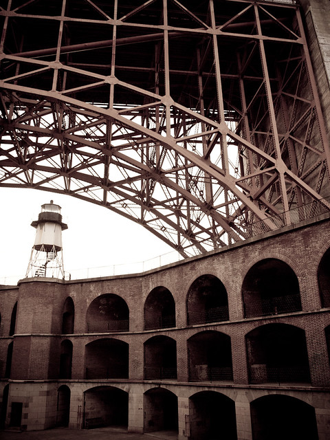
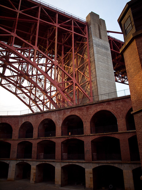
The next day, we left Yosemite and headed back to San Francisco. We got back into town in the late afternoon, and went to see Fort Point. The fort was built to protect the city during the Civil War, and now sits directly below the southern approach to the Golden Gate Bridge. It is now a National Historic Site, and provides some neat views. There aren't very many places around where you have an old 19th century fort with a giant bridge looming above it.
The fort, with the bridge towering above it, gives it a timeless feel.
The first fort built in this spot was constructed by Spain in the 1790s. When the US eventually gained control over the bay, the government decided to built a few fortifications around what is now San Francisco. One of those was Fort Point.
The fort never saw any action during the Civil War, and was soon replaced by more modern ways of defending the city and the Bay. The army still used the fort for storage, barracks and training. It was nearly torn down during the construction of the Golden Gate Bridge, but the plans were altered in order to save the fort.
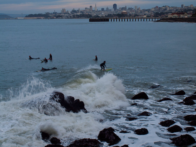
Just outside the fort, there were several people trying to surf. The water looked a little too cold...
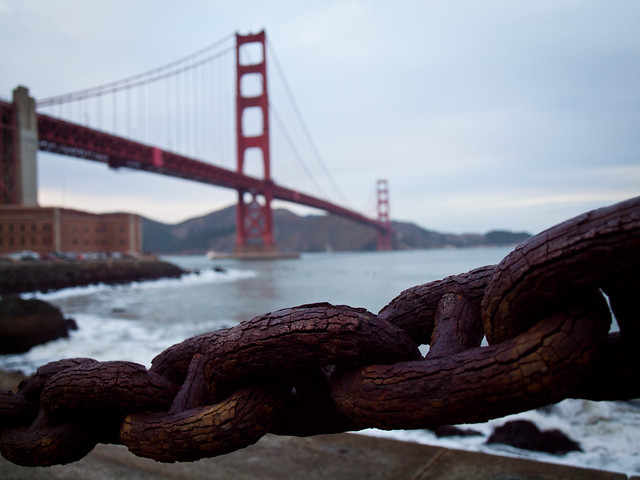
And one of the rusty old chains, along the fence. The fort is sitting on the left, below the bridge.
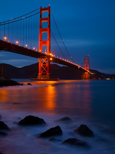
This was our last night in San Francisco, the next day we flew back home (without any travel problems). So here is the last shot from the honeymoon trip. This was taken at dusk, as the waves crashed along the rocks in the foreground.
Saturday, November 30, 2013
Yosemite National Park - Taft Point and Glacier Point
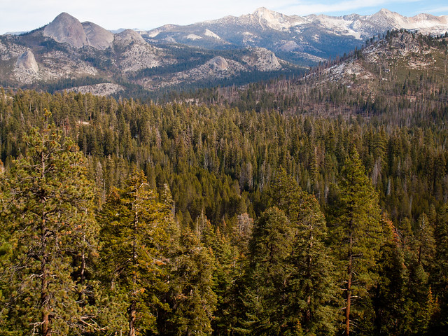
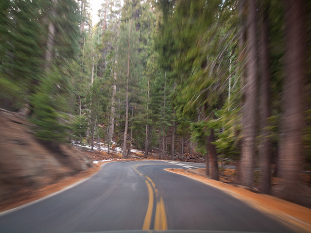
The next day we headed back into Yosemite, but didn't make the drive into the valley. Instead we headed up the road to Glacier Point, which had just re-opened after some snow a few days before. The road closes in the winter since it climbs to the top of the mountains overlooking the valley.
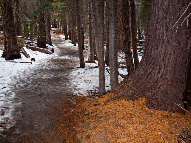
There are some hiking trails that I was interested in seeing. One was the hike to Taft Point. I thought it would be a nice and easy hike. It's only two miles round trip, and it doesn't have many steep hills to traverse. Which was true, but I forgot to take into consideration that I was hiking at a pretty high elevation.
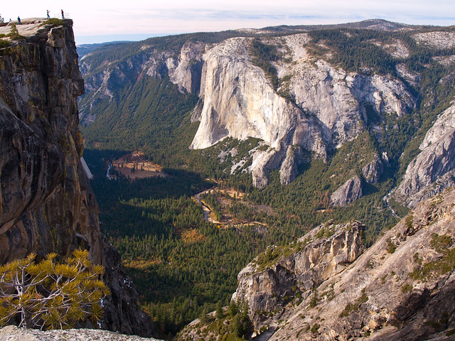
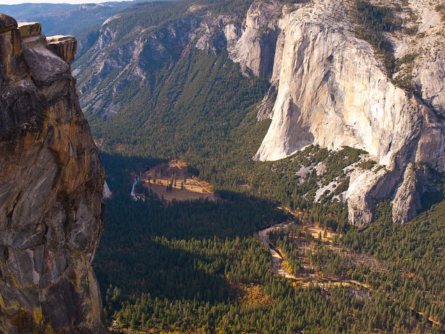
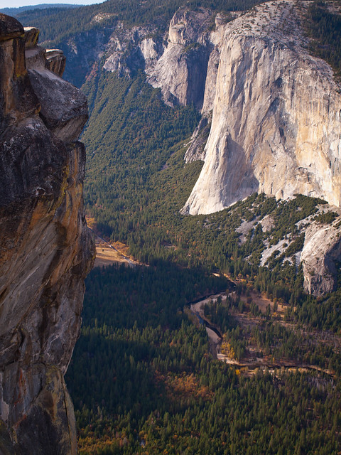
I'm used to Little Rock, which has an elevation of 335 feet. Taft Point, on the other hand, clocked in at around 7,500 feet. It didn't take long for me to lose my breath. But the hike was worth it, the view from Taft Point is amazing.
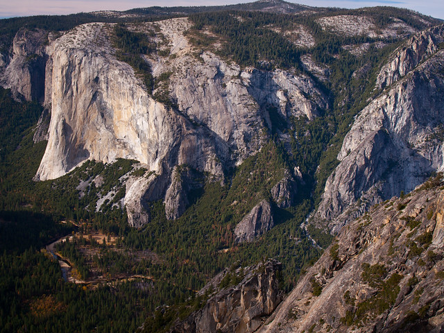
From there you are about 3,000 feet above the valley below. You also have good views of El Capitan and Yosemite Falls (which weren't running). It is not a good place to go if you're afraid of heights.
I inched close to the edge, but was nervous that my new wedding ring would slip off and fall down into the valley.
There were some people walking across ropes that were strung between the fissures in the rock, thousands of feet in the air. I thought it was safer to just slowly struggle on the hike back to the trail-head.
And from there, it was a drive further up the mountain towards Glacier Point.
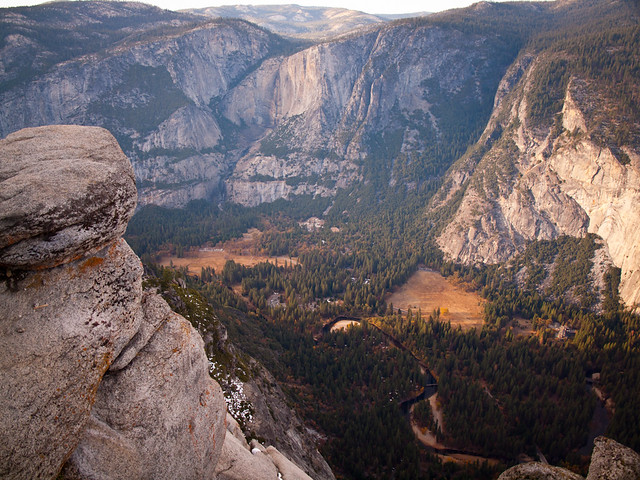
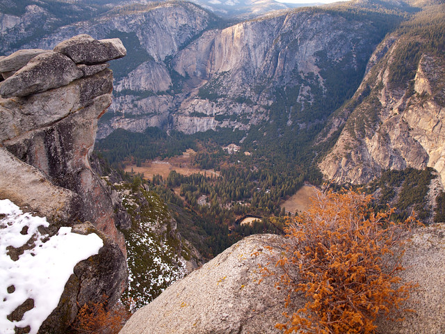
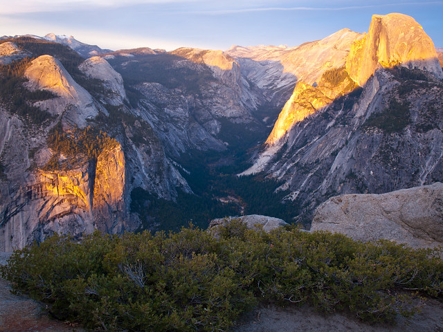
Glacier Point sits at an elevation of 7,214 feet (about 3,200 feet above the valley below). From here you have views of Yosemite Valley, including Half Dome, Yosemite Falls and Clouds Rest.
There was still a little bit of snow on the rocks...
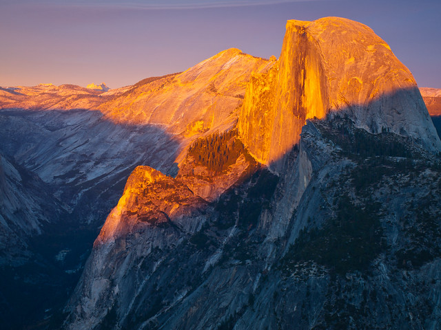
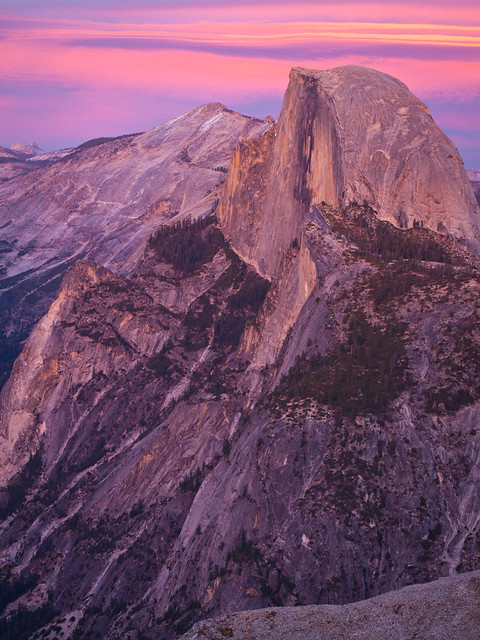
And Half Dome, while we were waiting for the sun to set...
It's a popular viewpoint, especially with photographers. I had claimed a spot that I liked a bit before sunset, just to make sure I wouldn't have to have a tripod fight with another photographer. As it got closer to sunset, busloads of photographers appeared. I counted at least three photography classes going on, so most of the conversation on the Point consisted of questions about filters, focusing, and why a particular camera wasn't working. By the time the sun began setting, there must have been over a hundred people gathered around with cameras on tripods.
The crowd wasn't too bad, except when other photographers would stand directly in front of my camera in order to get a shot (the teacher of their class shooed them away). The sunset was amazing. The light streamed through the valley, bathing the mountains in light.
It was probably one of the most amazing sunsets that I've been lucky enough to point a camera at...
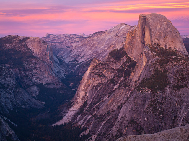
And one last shot from Yosemite, of dusk over Half Dome.
Tuesday, November 26, 2013
Yosemite National Park - Yosemite Valley
After Coit Tower, we crossed over the Bay Bridge and then headed east through Oakland. The next part of the honeymoon trip was taken to visit a rarely visited park, one that has hardly had any photographs taken of it. Or no, we were going to Yosemite. It's a place that we both really wanted to visit. And as someone who particularly enjoys photography, it seemed like a perfect place to go.
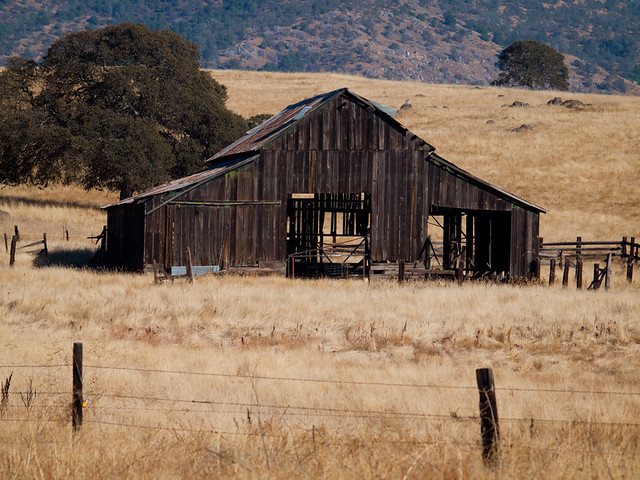
We drove east, eventually heading out of the city and into the country. It was a nice break after being in a crowded city like San Francisco. It only took a few hours driving to reach the park (we stayed at a lodge just outside of the park entrance). This was an old barn along the way there.
We were really worried that we wouldn't be able to make the trip. We were there about a week or so after the end of the federal government shutdown. Luckily everything was sorted out, finally, and we were able to enjoy the park. It's an amazingly beautiful place. The pictures don't do it justice.
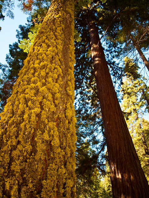
The first stop was the Mariposa Grove of Giant Sequoias. We didn't do the hike into the grove, which I regret. A winter storm had passed through there a few days prior, and there was a few inches of snow on the ground. It was pretty, the tall trees and the white snow. We got a few pictures in the parking lot before heading out. Yosemite is so beautiful it's hard to see all that you want to see.
We got into the rental car and headed deeper into the park. This is an overlook just before we entered Yosemite Valley.
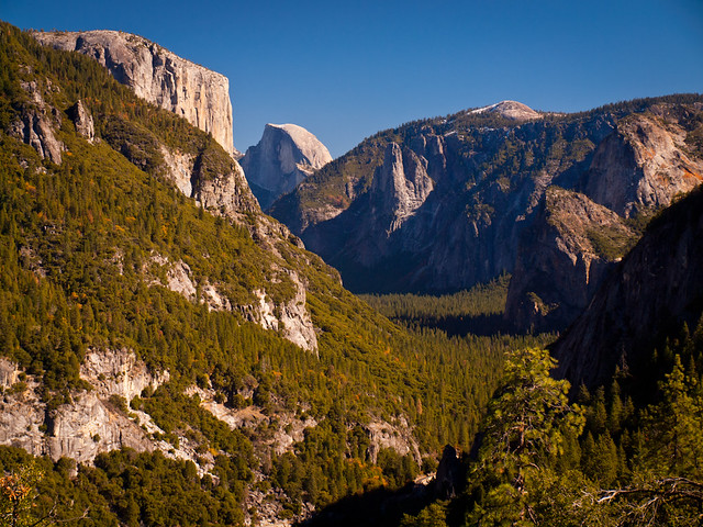
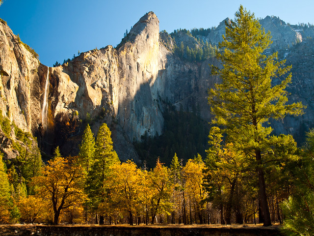
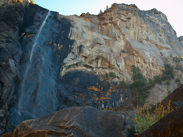
We didn't have the best weather there (for photos, at least). I had hoped for a few clearing winter storms, but it was just sunny. We went through the tunnel and saw the whole valley laid out below us. We drove down and stopped at Bridalveil Fall. Before heading out, I heard that most of the waterfalls at Yosemite would be dry. But luckily a few were running. The recent snows had melted enough to get some of the falls running.
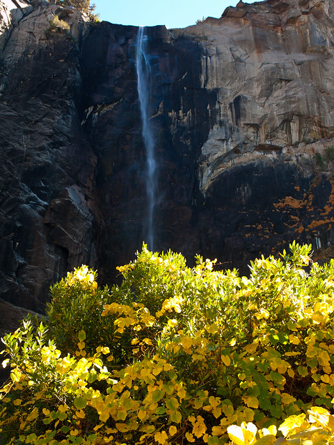
Bridalveil Fall is 617 feet tall, and I tried to scurry over the rocks to get close to the base.
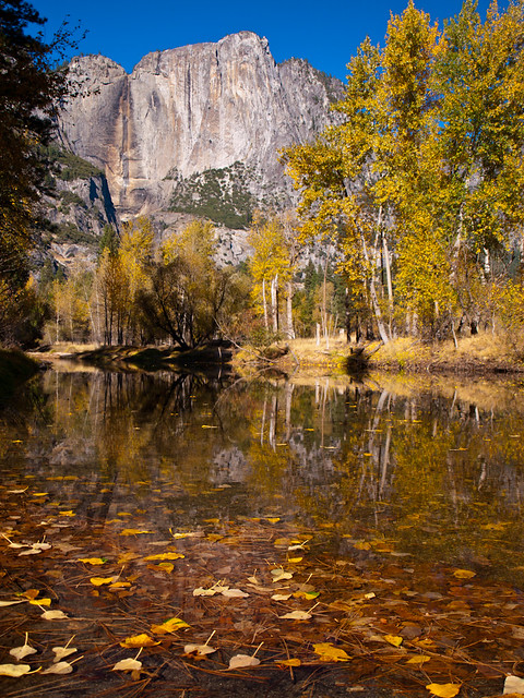
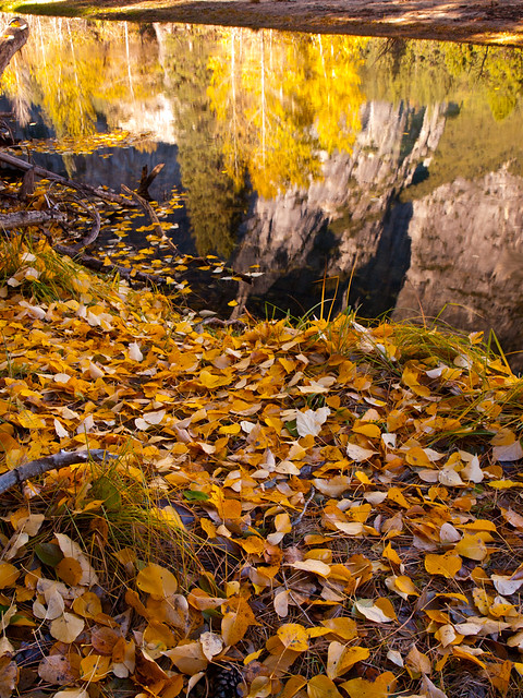
We got back in the car and decided to stop somewhere for a little picnic lunch. We ended up at the picnic area for Sentinel Beach. I walked down to the Merced River and was amazed to see this view...
The fall colors in the valley were amazing, right at peak.
We got back into the car, and stopped at the Swinging Bridge. Upper Yosemite Falls was completely dry, but the view was still amazing.
The shadows started to creep across the valley as the day got later.
And the view of the valley, taken at the Valley View overlook.
And a view of Half Dome, from the Stoneman Bridge.
I tried to not get run over as I ran across the bridge to get this view of the mountains towering over the Merced River.
And then we headed up to Tunnel View, which may be the most viewed and photographed place in the park. I set up my camera, like the millions of photographers who have tried to follow in Ansel Adam's footsteps. Sunset came and went, and I took a bunch of pictures...
We headed back to the lodge, ready to head back to Yosemite the next day...
We drove east, eventually heading out of the city and into the country. It was a nice break after being in a crowded city like San Francisco. It only took a few hours driving to reach the park (we stayed at a lodge just outside of the park entrance). This was an old barn along the way there.
We were really worried that we wouldn't be able to make the trip. We were there about a week or so after the end of the federal government shutdown. Luckily everything was sorted out, finally, and we were able to enjoy the park. It's an amazingly beautiful place. The pictures don't do it justice.
The first stop was the Mariposa Grove of Giant Sequoias. We didn't do the hike into the grove, which I regret. A winter storm had passed through there a few days prior, and there was a few inches of snow on the ground. It was pretty, the tall trees and the white snow. We got a few pictures in the parking lot before heading out. Yosemite is so beautiful it's hard to see all that you want to see.
We got into the rental car and headed deeper into the park. This is an overlook just before we entered Yosemite Valley.
We didn't have the best weather there (for photos, at least). I had hoped for a few clearing winter storms, but it was just sunny. We went through the tunnel and saw the whole valley laid out below us. We drove down and stopped at Bridalveil Fall. Before heading out, I heard that most of the waterfalls at Yosemite would be dry. But luckily a few were running. The recent snows had melted enough to get some of the falls running.
Bridalveil Fall is 617 feet tall, and I tried to scurry over the rocks to get close to the base.
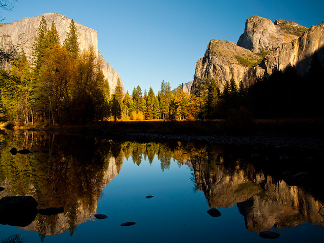
We got back in the car and decided to stop somewhere for a little picnic lunch. We ended up at the picnic area for Sentinel Beach. I walked down to the Merced River and was amazed to see this view...
The fall colors in the valley were amazing, right at peak.
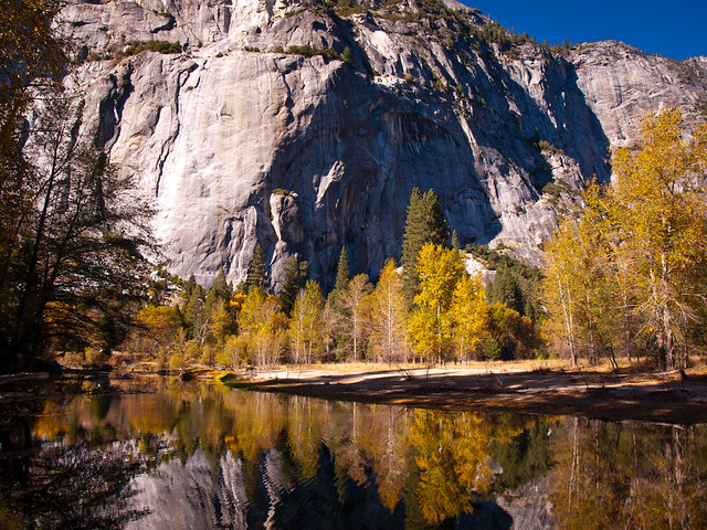
We got back into the car, and stopped at the Swinging Bridge. Upper Yosemite Falls was completely dry, but the view was still amazing.
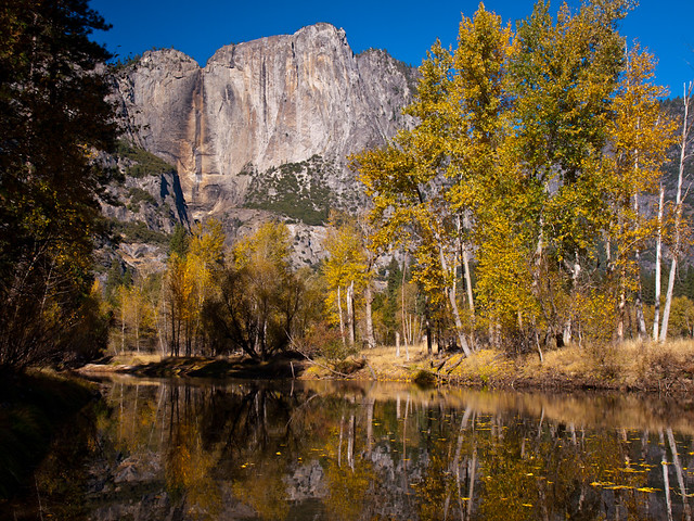
The shadows started to creep across the valley as the day got later.
And the view of the valley, taken at the Valley View overlook.
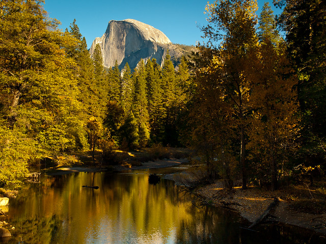
And a view of Half Dome, from the Stoneman Bridge.
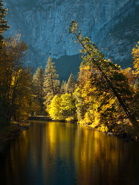
I tried to not get run over as I ran across the bridge to get this view of the mountains towering over the Merced River.
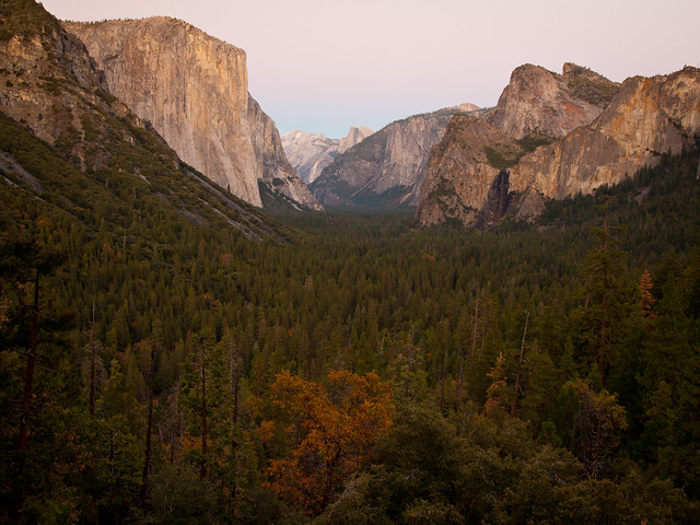
And then we headed up to Tunnel View, which may be the most viewed and photographed place in the park. I set up my camera, like the millions of photographers who have tried to follow in Ansel Adam's footsteps. Sunset came and went, and I took a bunch of pictures...
We headed back to the lodge, ready to head back to Yosemite the next day...
Monday, November 25, 2013
San Francisco - Coit Tower
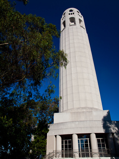
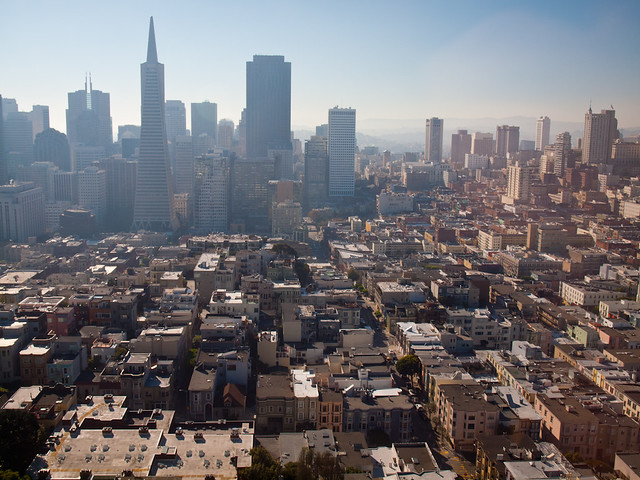
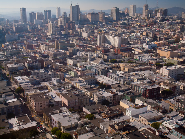
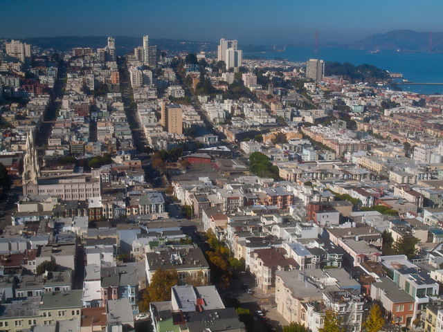
Before leaving San Francisco the next morning, we made a quick stop at Coit Tower. The 210-foot tall tower sits in Pioneer Park, atop Telegraph Hill.
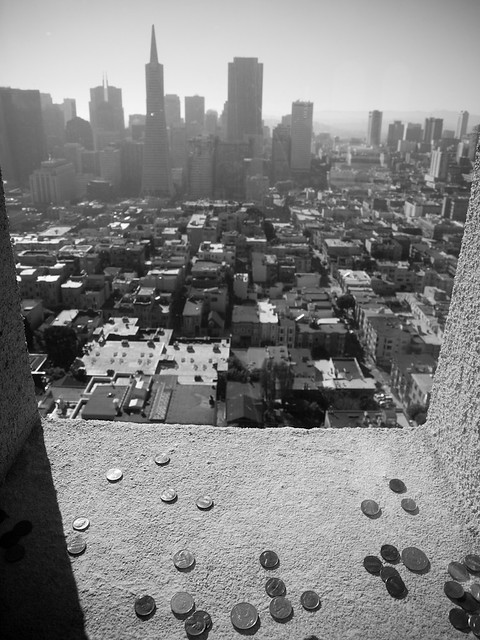
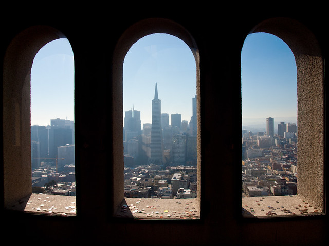
The views from the top were great, although we were looking into the sun for most of the view (which made taking pictures a tad bit difficult). This is the view from one of the windows, which had a thick layer of plexiglass on it. Somehow people have managed to get coins through the narrow gap and onto the ledge.
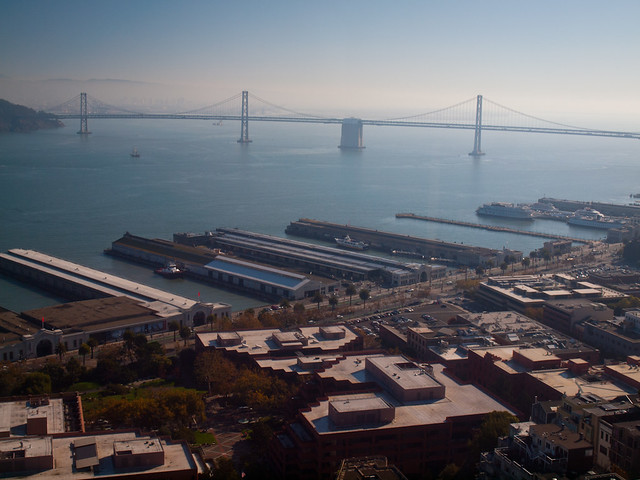
Here's the view looking towards the Bay Bridge:
And looking towards downtown...
It's amazing to see the city from above, since it helps to show just how dense everything is there.
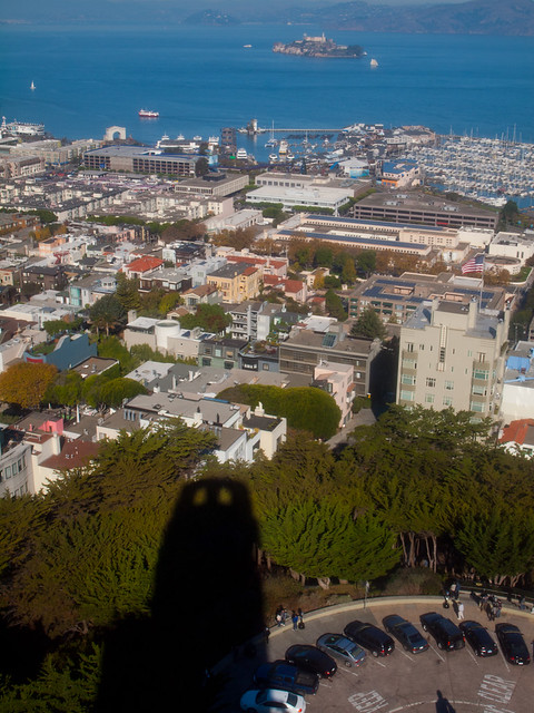
The shadow of the Tower with Alcatraz in the distance...
And one last view from the Tower. From here we would head out of the city and travel east to a place in California that has long been on our list of places to visit...
Sunday, November 24, 2013
San Francisco - Marin Headlands
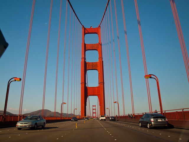
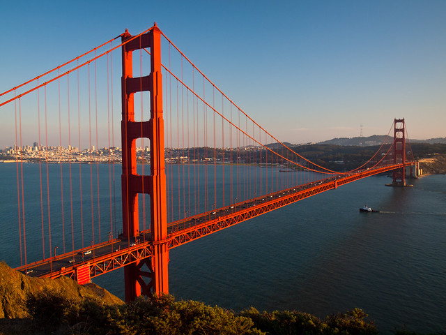
Hope you haven't grown tired of seeing pictures of the Golden Gate Bridge yet, since our next stop was a pretty awesome overlook of the bridge. But first, in order to get there it meant actually driving across the bridge. Which was pretty neat...
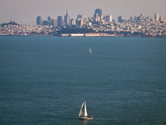
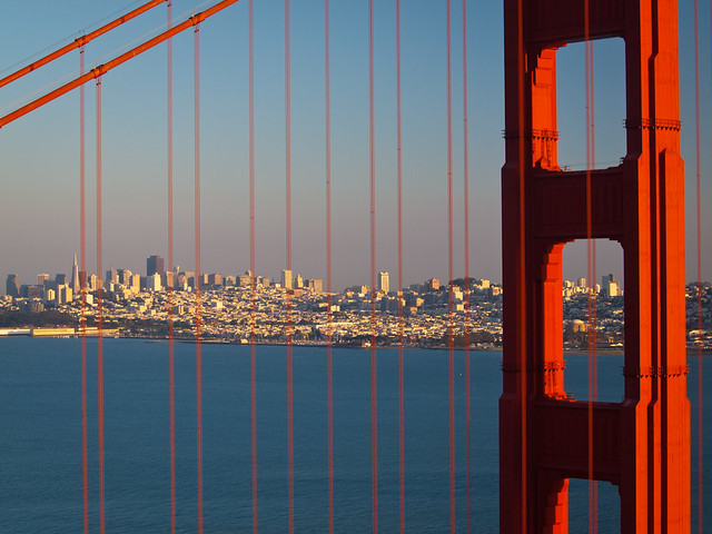
We went across the bridge to a little visitor center, and took a few pictures from the parking lot. There was a nice view of the city (which was a better view than what you see from the bridge, I thought).
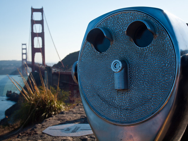
From there we drove up to the Marin Headlands, a hilly area just across the bay from San Francisco. It's part of the Golden Gate National Recreation Area, and includes several amazing overlooks of San Francisco and the Bay. We went to an overlook by Battery Spencer, which was an old military battery established way back in 1897. It was quiet up there, except for the wind rushing in from the west, and the people getting pictures of the view looking down on the Golden Gate Bridge.
And the view of San Francisco, from Battery Spencer.
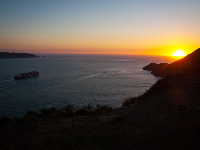
We stayed up there as the sun set over the Pacific Ocean...
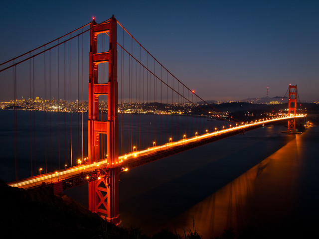
And finally, a view of the bridge as dusk settled in over the bay...
We went across the bridge to a little visitor center, and took a few pictures from the parking lot. There was a nice view of the city (which was a better view than what you see from the bridge, I thought).
From there we drove up to the Marin Headlands, a hilly area just across the bay from San Francisco. It's part of the Golden Gate National Recreation Area, and includes several amazing overlooks of San Francisco and the Bay. We went to an overlook by Battery Spencer, which was an old military battery established way back in 1897. It was quiet up there, except for the wind rushing in from the west, and the people getting pictures of the view looking down on the Golden Gate Bridge.
And the view of San Francisco, from Battery Spencer.
We stayed up there as the sun set over the Pacific Ocean...
And finally, a view of the bridge as dusk settled in over the bay...