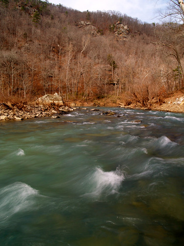
Magness Lake is located just outside of Heber Springs. Also conveniently close to Heber Springs is the great Collins Creek, so I headed there after I left the swans. It had been pretty cold the last few days, and temperatures that day were probably right at or below freezing. I hoped that the cold would produce some cool icicles at the waterfalls along Collins Creek...
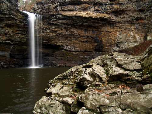
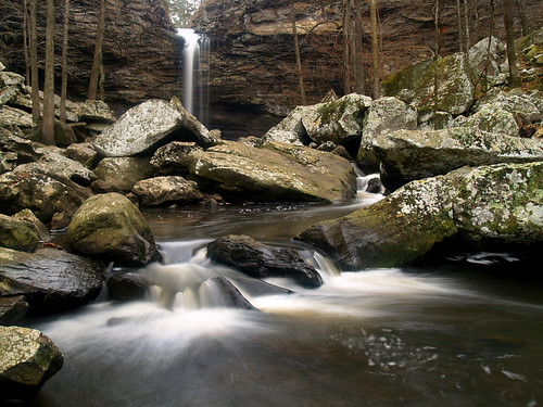
I got to the creek and found no icicles hanging down from the waterfall. Crap! Well it's a pretty place anyways so I started taking pictures.
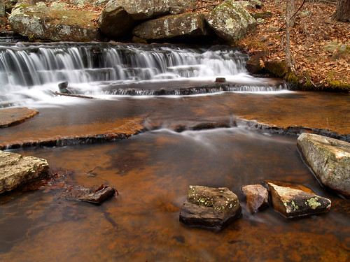
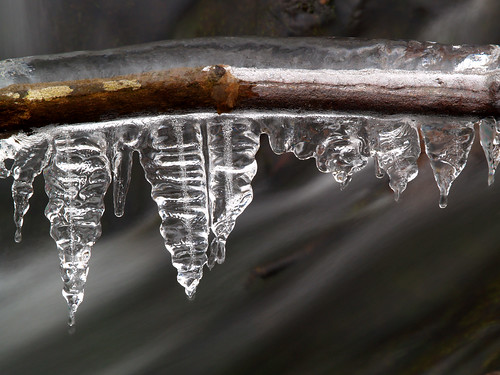
I did manage to notice a tiny bit of ice, hanging down from a tree branch (or root?) above the creek. I made it to the other side of the creek and crawled around on the rocks enough where I could get a good picture of the small icicles.
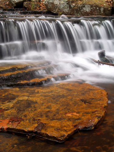
Some more ice had formed around the area where the pipe from Greers Ferry Lake empties into the creek bed. I wonder why ice forms in some places, but not in others?
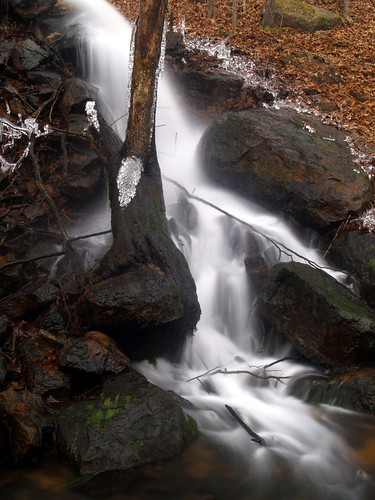
I really liked how this one turned out, but I realized later that I've taken a picture from this spot a few times before. Oh well...
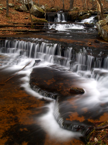
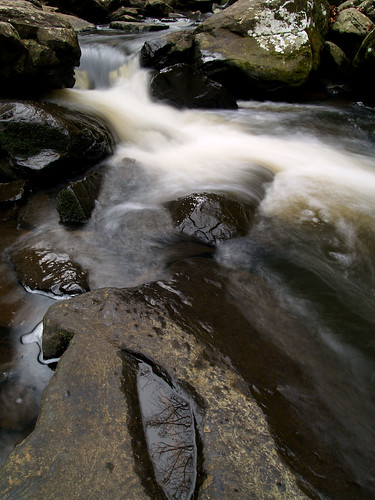
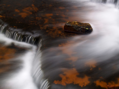
And a shot of a rock, resting in the cold waters of the creek:
And one more view of some ice, which is nice but not what I was expecting when I drove up there:
It had started to rain as I was taking the above picture. At first I was more concerned with keeping the camera dry and then it hit me - perhaps rain and temperatures at or below freezing means this isn't a good time to linger around. I hurried back to the car and started driving home. I wasn't sure if it had indeed gotten below freezing, but there were a few icy patches on the road. My car slid a bit while going over a bridge, but otherwise things went ok. I fared better than a few others, I drove by four wrecks just on the road from Heber Springs to Greenbriar. One car had gone off the road and flipped over, another slid off and hit some trees. I usually try to drive slow on that road (after getting a speeding ticket there last year), but went even slower that day. The roads seemed to get better as I got closer to Conway, and I made it home safe and sound. In fact I even made a stop at the store to buy the traditional milk and bread before the dreaded ice storm hit.
Thursday, January 29, 2009
Wednesday, January 28, 2009
Magness Lake
A major ice storm was predicted to hit here this week, so I thought I'd get out on Monday before the weather got too nasty. The weather people were predicting that the northern parts of the state would see ice, but it would be awhile before it would reach us here in central Arkansas. As I drove northwards, the radio said the current temperature in Little Rock was 34 degrees. But different signs that showed temperatures could never agree - one said 31, the other 26. My plan was to drive up there and take pictures and leave well before it got cold enough for the roads to get icy.
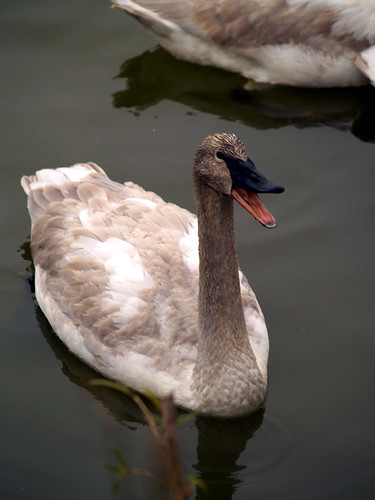
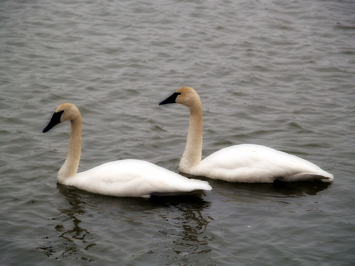
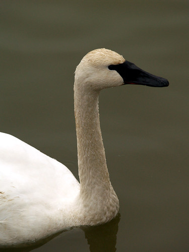
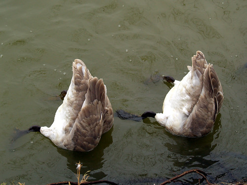
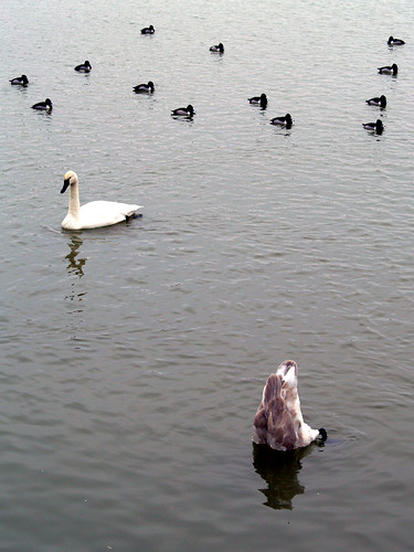
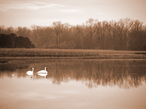
My first stop was at Magness Lake, which is the home of a large flock of trumpeter swans. These birds are the largest waterfowl species native to North America, and were nearly hunted to extinction in the last century. Since then they made a nice comeback, but it is rare to see them around here. Normally, they don't migrate this far south in the winter. But in 1990, three swans settled down on this lake near the Little Red River. It is thought that a storm knocked them off course and they ended up settling down at Magness Lake. Since then the swans have returned over the years, with as many as 150 swans counted there.
Since then a pair of trumpeter swans wintered at a small pond in the Boxley Valley of the Buffalo National River. The state tried to establish a few more swans here, putting a few more at Boxley and at Holla Bend last year. I saw a few swans at Holla Bend last week that might have been part of the program.
But at Magness Lake you can get a nice up close view of the birds. It's illegal to hunt swans in Arkansas, so they don't mind getting too close to people at the lake.
Magness Lake is located about 50 miles north of Little Rock, and is just east of the city of Heber Springs. You can drive and park right at the edge of the lake, so it is very easy to reach. The birds there are very photogenic, and will try to show off their best side to any visiting photographer:
Luckily the owners of the land look like they're working to help protect the area to help make it a nice habitat for the visiting swans.
And one last shot, which I guess will be the end of this post:
Monday, January 26, 2009
Longpool
After going to Holla Bend I drove up to the Longpool Recreation Area along Big Piney Creek in the Ozark National Forest. Longpool is a popular spot for kayakers and hikers, though the park was totally empty that day. In fact I was the only person there. My plan was to take the short hike to Longpool Falls, even though we haven't had rain in awhile and the falls probably weren't running.
Big Piney Creek was low, but still looked cool.
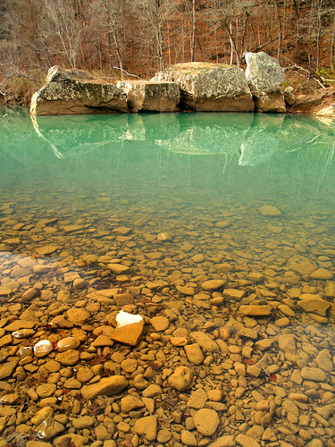
The water in the creek had a nice greenish tint to it:
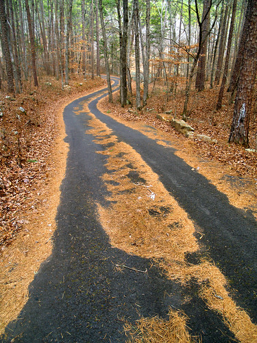
And along the way to the waterfall trail head:
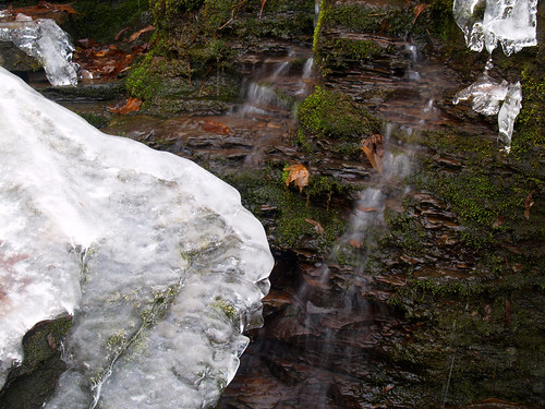
The hike to the falls is short, about a mile or so. Below Longpool Falls is a smaller waterfall that tumbles over some mossy rocks. There was a small trickle of water there, but I was surprised to see ice and icicles hanging off of the rocks. It was warm that day, in the 60s, and I didn't expect to see icicles there.
There were some icicles hanging along the bluff line at Longpool Falls, but the falls were nothing more than a trickle. I took a few shots but wasn't happy with them. Then I was startled as one of the icicles broke off and hit the ground with a large crash. It was time to call it a day, and I hiked back to the car to get something to eat for lunch (Diamond Drive-in in Clarksville - yummy).
Sunday, January 25, 2009
Holla Bend
I'm not much of a morning person, so I was a bit amazed with myself as I stumbled out of bed and got into the car before sunrise on Friday. I was driving to the Holla Bend National Wildlife Refuge, located about six miles from Dardanelle, Arkansas. I hoped to time the drive so that I got to the refuge at sunrise, but my timing was off and I got there a bit after the sun was up.
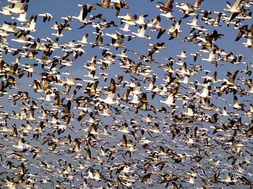
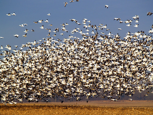
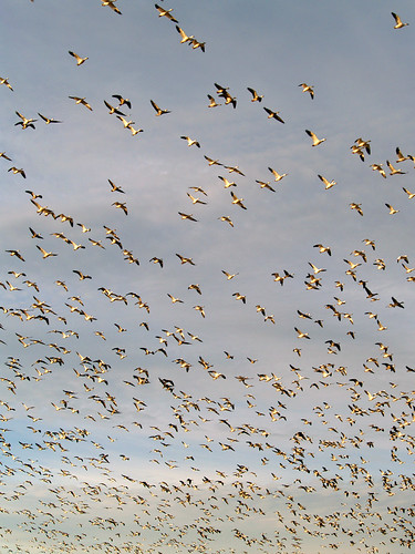
Holla Bend is the home for thousands of birds who spend the winter there every year. As I got into the park I hurriedly drove down the dirt roads trying to find some wildlife, fearing that I had arrived too late to find anything. I turned a bend in the road and then saw an entire field that was just covered with snow geese. There must have been thousands of them there, all loudly honking to one another. I got there just as they all took off at once, soaring up and filling the sky.
It was truly an amazing sight. The birds flew up and over where I was standing. I had to check to make sure that the birds didn't get me with any sort of droppings. I managed to survive unscathed, but my poor car did get hit.
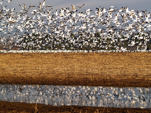
My zoom lens isn't all that great, so I needed to get a bit closer to the birds for some better shots. I tried to sneak around in the hope they wouldn't notice me. For the most part they ignored me but did all manage to fly off to another side of the field. There was a ditch through the field, so I did get this shot of them in air with a reflection.
I tried for a few more shots and then moved to a different area along the road. There was a little pond there, so I sat waiting for the birds to decide to all take off again. I had to wait for maybe ten minutes before something spooked them and they set off in a hurry.
Holla Bend is also a popular spot for Bald Eagles. They like to dine on the ducks and geese that stay here, which must actually be a big buffet for them considering how many birds are there. I drove along some of the roads trying to find some eagles, but had no luck. I saw a few large birds nestled in trees, but could never tell if they were eagles or hawks. As soon I would get close to them, they would of course take off and move to another tree. I didn't understand why the birds would fear me. If they swooped down towards me with their giant claws out I'd get scared and probably pass out. I aimlessly drove around the park and ended up giving up without any good eagle pictures.
Near where the snow geese were hanging out was a small pond with some trumpeter swans in it:
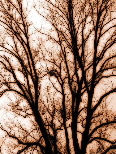
The weather then got a bit screwy. There wasn't a cloud in the sky at sunrise, but all of a sudden clouds rolled in and covered the sun. A slight fog (or smoke?) hung out along the horizon, and it all combined for some odd light. Since I wasn't able to find much wildlife, the camera was turned to some trees. Here is a huge old tree in the refuge, which I messed around some with in photoshop:
I then stopped at a small lake and walked around some. The light was still strange, so I got a few more shots of it:
After that I left the park and drove up to the nearby Mt. Nebo State Park. I didn't end up taking many pictures up there, and the ones that I did take didn't really turn out all that great. From there I drove up Hwy. 7 towards Longpool....
Holla Bend is the home for thousands of birds who spend the winter there every year. As I got into the park I hurriedly drove down the dirt roads trying to find some wildlife, fearing that I had arrived too late to find anything. I turned a bend in the road and then saw an entire field that was just covered with snow geese. There must have been thousands of them there, all loudly honking to one another. I got there just as they all took off at once, soaring up and filling the sky.
It was truly an amazing sight. The birds flew up and over where I was standing. I had to check to make sure that the birds didn't get me with any sort of droppings. I managed to survive unscathed, but my poor car did get hit.
My zoom lens isn't all that great, so I needed to get a bit closer to the birds for some better shots. I tried to sneak around in the hope they wouldn't notice me. For the most part they ignored me but did all manage to fly off to another side of the field. There was a ditch through the field, so I did get this shot of them in air with a reflection.
I tried for a few more shots and then moved to a different area along the road. There was a little pond there, so I sat waiting for the birds to decide to all take off again. I had to wait for maybe ten minutes before something spooked them and they set off in a hurry.
Holla Bend is also a popular spot for Bald Eagles. They like to dine on the ducks and geese that stay here, which must actually be a big buffet for them considering how many birds are there. I drove along some of the roads trying to find some eagles, but had no luck. I saw a few large birds nestled in trees, but could never tell if they were eagles or hawks. As soon I would get close to them, they would of course take off and move to another tree. I didn't understand why the birds would fear me. If they swooped down towards me with their giant claws out I'd get scared and probably pass out. I aimlessly drove around the park and ended up giving up without any good eagle pictures.
Near where the snow geese were hanging out was a small pond with some trumpeter swans in it:
The weather then got a bit screwy. There wasn't a cloud in the sky at sunrise, but all of a sudden clouds rolled in and covered the sun. A slight fog (or smoke?) hung out along the horizon, and it all combined for some odd light. Since I wasn't able to find much wildlife, the camera was turned to some trees. Here is a huge old tree in the refuge, which I messed around some with in photoshop:
I then stopped at a small lake and walked around some. The light was still strange, so I got a few more shots of it:
After that I left the park and drove up to the nearby Mt. Nebo State Park. I didn't end up taking many pictures up there, and the ones that I did take didn't really turn out all that great. From there I drove up Hwy. 7 towards Longpool....
Wednesday, January 21, 2009
St. Boniface Catholic Church
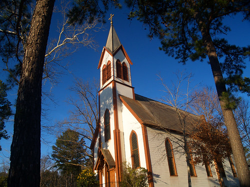
Located almost in the middle of nowhere sits the old St. Boniface Catholic Church.
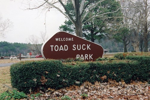
The building is tucked deep into some trees about twenty miles south of Conway, but you do get to pass through the awesomely named Toad Suck park on the way there.
A few years ago I worked in Conway and made a few trips out exploring this area. The church is a really great old building, and I always wondered how such a neat old church could survive out in the middle of pastures and fields. Before writing this I did a google search for the church and found this site that explains that it was once the seat of a small town of German immigrants who came there because of the new rail line. The town was called New Dixie, and was settled by Catholic families. The original church was built in 1901, but was destroyed by a fire during a service. This is the most interesting part of the info about the church: "By canon law, once a mass has started, it cannot be ended prematurely, though this was not to say that the entire congregation had to stay in the church. However, it did make it difficult to save either the church or its artifacts. The only object saved was the high alter that had been imported from Germany. The church itself was a total loss."
The current church building was built on the spot of the former church, but the town of New Dixie would begin to disappear so now the only lasting sign of the town is this old church. If you're interested, for a link to that site click HERE.
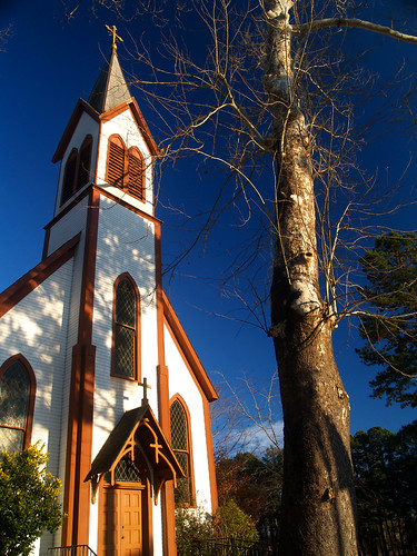
And a few more shots of the church:
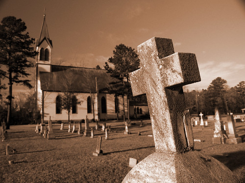
And the church with the old cemetery in the foreground:
Tuesday, January 20, 2009
Mt. Holly Cemetery
With the large amount of free time I have now, I ended up spending a few hours driving around trying to find something to take pictures of. I was in downtown Little Rock, and ended up making a stop at Mt. Holly Cemetery.
Now it is almost morbid to go to a cemetery just for the purpose of taking pictures, as if stomping around on the final resting places of unknown people is just a bit too much. That thought was going through my mind as I walked along the worn paths through the weathered stone markers. Mt. Holly Cemetery is old, dating back to 1843. The cemetery is located next to an interstate and in the heart of the city, but it's amazing how all the sounds of a city are muffled there. You don't hear the traffic on the road, but just the rambling of a squirrel moving through some fallen leaves.
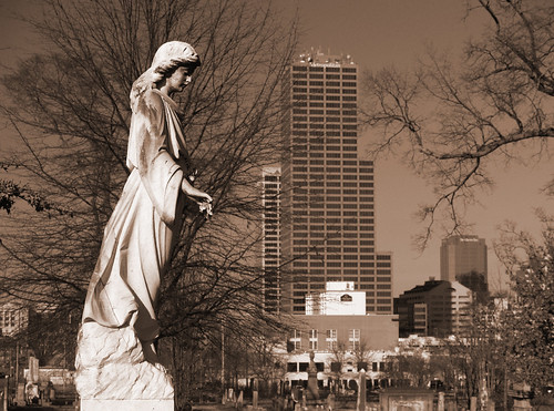
Mt. Holly has a great collection of Victorian-era grave markers, overflowing with angels and other decorations. I was interested in the juxtaposition between the markers and the buildings downtown. So here is the shot of the cemetery, with downtown looming in the background.
Thursday, January 15, 2009
Cedar Falls
Petit Jean Mountain is a great place, with lots of cool trails and awesome waterfalls. The biggest and most popular waterfall is Cedar Falls. The waterfall is 95 feet tall, making it one of the tallest in the state. The tallest waterfall in Arkansas is Hemmed-in-Hollow falls at the Buffalo National River, at 209 feet tall. I'm ashamed to say that I've never been there, the five mile "difficult hike" rating has kept me away. But maybe now that I'm unemployed and have a lot of free time, I might try to finally make it there.
But Cedar Falls is much easier to reach, the trail there is only two miles long. It is an easy trail for the most part, and is mostly level except for the end which involves hiking up some steep switchbacks up the side of a hill. I realized just how out of shape I am now as I finished the hike. I used to be able to make that climb without any problem, but this hike left me feeling sore. I need to get out more.
The hike starts out next to the lodge and heads downhill via the switchbacks that will be so nasty on the hike out. As the trail reaches the bottom of the valley, you finally hit Cedar Creek, which rambles over a lot of rocks and mossy boulders along the way.
And a close-up view of the creek:
The trail runs alongside the creek, and eventually you find yourself in front of Cedar Falls. This shot was taken below the falls, where the creek runs through some boulders.
And finally, a shot of the great falls themselves. This is one of my favorite trails in the state.
I was surprised that I hadn't seen many other people out on the trail that day. Petit Jean is a popular park, and this trail sees a lot of traffic. I was alone along the trail, but as soon as I reached the falls a few other people showed up. One of them made their way across the creek towards the falls. Usually I would silently curse this person for intruding into my shot (the nerve!), but this time I didn't mind since he does show some scale for the size of the falls.
And another view of the falls:
My favorite place to get a shot of the falls is from a certain rock that sits in the creek down from the falls. Although you don't get to see all of the falls, it does provide a good view of a small waterfall in the creek. Also, the rock is shaped like a chair with a nice backrest. Part of the rock is flat and makes a nice home for a tripod to rest, too. I've taken a shot from this place many times, but had to make one more shot.
After that I settled down and rested for a bit enjoying the view. It was a nice day, with a great waterfall to enjoy. When it started to rain I decided to start hiking back.
Cedar Creek has a lot of mossy rocks along its run, and I stopped at one spot. Originally I tried to get a shot of this little waterfall with the larger Cedar Falls in the background. That didn't really turn out but here is a shot of a huge rock with its waterfall neighbor:
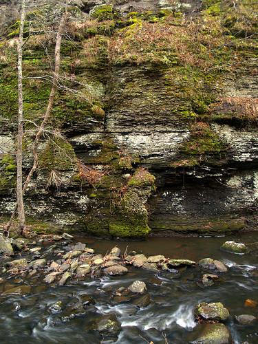
And one last shot of Cedar Creek as it makes it way along a bluff line:
Sunday, January 11, 2009
Petit Jean
Having been laid off from work last week, I've been enjoying the many adventures of being unemployed. On Friday I had the biggest of those adventures - the unemployment office. It took two attempts over two days to get everything finished. The first time I went to the Little Rock unemployment office, there were maybe three hundred people in line ahead of me. I saw a few of my now former co-workers who said they had been there since before 8:00 and were still waiting in line. Yikes, I was there around Noon. I did the little computer application and waited with them. A few hours passed, and I gave up and went home. If the office stopped seeing people at 3:30, and there were people there who had been waiting since eight that morning, I knew I had no chance.
So I tried again. Instead of the Little Rock office I went to the office up in Jacksonville. It was smaller, but much less crowded and better organized. Only about 50 people were waiting in line ahead of me when I showed up in the morning. At the front desk, I told the two workers that I had already done the computer application at the Little Rock office. "Oh you went to Little Rock?" they asked, and gave each other a look. Then they both turned to me with pitying looks as if I just strolled in from Baghdad.
I only had to wait two hours before I got called in for my interview. As she led me back to her office, the lady made some small talk in a voice that sounded like she had made the same conversation a thousand times lately. "Looks like it's going to rain today..."
We sat down in her office and she quickly told me all I needed to know, when to make my weekly phone call, how many jobs I need to apply for each week, etc. It took maybe three minutes total before I was done and out of the building. But you do have to feel sorry for the poor workers at the unemployment office, they have to see hundreds of disgruntled people every day, which considering the economy, isn't going to get any better. Someone waiting next to me said that all the workers there were going without any lunch breaks so they could see more people.
Of course, all of us agreed that maybe the state should hire some of these unemployed people standing around there to help out them out.
But after that I had the afternoon free, so I grabbed the camera and drove over to Petit Jean Mountain State Park. It's a beautiful place, and it was nice to just sit and watch the waterfalls.
The first stop was the small waterfall that pours off of the dam that makes Lake Bailey.
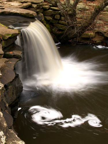
There was a bit of foam caught up in the water beneath the falls, which swirled around in the current...
This waterfall sits right next to an old stone bridge, built in 1934 by the Civilian Conservation Corps. A popular shot to get is of the waterfall framed by the arch of the bridge, and I couldn't resist trying to get another one of it.
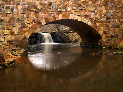
The water under the bridge kinda fits in a metaphorical sense to being unemployed, I think. All the problems and stresses just float on past us, hopefully. I'm optimistic in that I'll find some work soon, but I am enjoying this brief time of being able to sleep in.
Coming soon, pictures of the mighty Cedar Falls at Petit Jean...
So I tried again. Instead of the Little Rock office I went to the office up in Jacksonville. It was smaller, but much less crowded and better organized. Only about 50 people were waiting in line ahead of me when I showed up in the morning. At the front desk, I told the two workers that I had already done the computer application at the Little Rock office. "Oh you went to Little Rock?" they asked, and gave each other a look. Then they both turned to me with pitying looks as if I just strolled in from Baghdad.
I only had to wait two hours before I got called in for my interview. As she led me back to her office, the lady made some small talk in a voice that sounded like she had made the same conversation a thousand times lately. "Looks like it's going to rain today..."
We sat down in her office and she quickly told me all I needed to know, when to make my weekly phone call, how many jobs I need to apply for each week, etc. It took maybe three minutes total before I was done and out of the building. But you do have to feel sorry for the poor workers at the unemployment office, they have to see hundreds of disgruntled people every day, which considering the economy, isn't going to get any better. Someone waiting next to me said that all the workers there were going without any lunch breaks so they could see more people.
Of course, all of us agreed that maybe the state should hire some of these unemployed people standing around there to help out them out.
But after that I had the afternoon free, so I grabbed the camera and drove over to Petit Jean Mountain State Park. It's a beautiful place, and it was nice to just sit and watch the waterfalls.
The first stop was the small waterfall that pours off of the dam that makes Lake Bailey.
There was a bit of foam caught up in the water beneath the falls, which swirled around in the current...
This waterfall sits right next to an old stone bridge, built in 1934 by the Civilian Conservation Corps. A popular shot to get is of the waterfall framed by the arch of the bridge, and I couldn't resist trying to get another one of it.
The water under the bridge kinda fits in a metaphorical sense to being unemployed, I think. All the problems and stresses just float on past us, hopefully. I'm optimistic in that I'll find some work soon, but I am enjoying this brief time of being able to sleep in.
Coming soon, pictures of the mighty Cedar Falls at Petit Jean...
Monday, January 5, 2009
Hot Springs
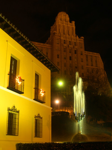
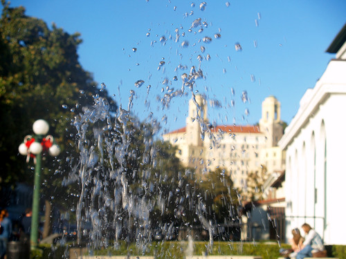
On Saturday I drove down to Hot Springs for the opening reception for the 2009 Small Works on Paper - the traveling art exhibition that has one of my photos in it. I planned on getting into town early enough to be able to take a few pictures before the reception, and ended up only taking two shots. One of them was of this view of a fountain in front of the Fordyce Bathhouse.
The reception was held at the Fine Arts Center, which sits along Central Avenue. I wasn't sure exactly where it was, only having a vague idea of where it was located. I drove up and down the street a few times, gave up and then walked back and forth trying to find it. Still not seeing the building, I went inside the city Visitor's Center to ask directions. Turns out the Arts Center was almost literally right across the street from the Visitor's Center. That made me feel smart.
But I ended up leaving the reception a bit early, there were some more pictures I wanted to take. I love Hot Springs, it is an interesting city with some great old buildings. The land that is now Hot Springs National Park was set aside in 1832, making it technically the oldest national park in the country. The city that grew up around the springs was designed to accommodate those who thought the waters would heal them. The bathhouses then specialized in some bizarre treatments. For example, people suffering from syphilis could get a treatment where mercury was applied right to the, um, "infected" regions. The eight bathhouses in the Park were built between 1892 and 1923. By the 1980's, all but one of the bathhouses had closed down, since people realized that sitting in hot water (or have mercury applied to their privates) wasn't going to cure them. The bathhouses are being renovated, with one already opened up as a spa. Sorry to head off into this tangent, but I think the history of that place is fascinating.
Anyways, one spot along the Promenade in the National Park offers a good view of downtown. The view is actually right above the spot where one of the springs gurgles and tumbles out of the hillside. Although it was unseasonably warm that night (77 degrees), steam was rising up towards where I was taking pictures.
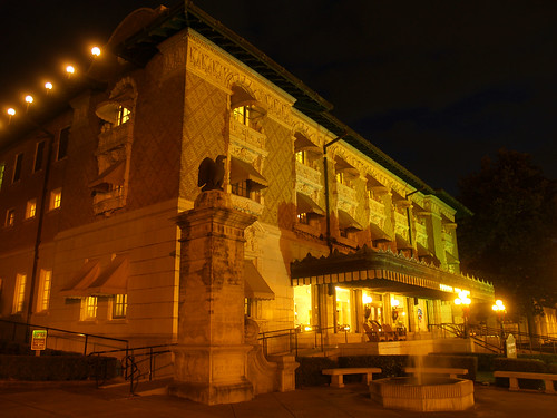
From there I went and walked along Bathhouse Row, feeling like a bit of a tourist. This is the Fordyce Bathhouse again:
And the same fountain which was in the first picture in this post:
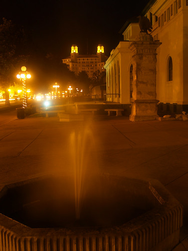
One more shot of a fountain. The National Park headquarters is the building on the left. The spooky looking building in the background is the old Army and Navy Hospital.
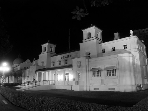
It was a warm Saturday night and the sidewalk was busy with people and tourists. I quickly got this shot of the Ozark Bathhouse before I got in anyone else's way. The streetlights shining on the building gave it an odd yellow tint, so I converted this to black and white instead.
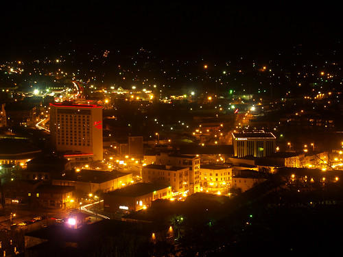
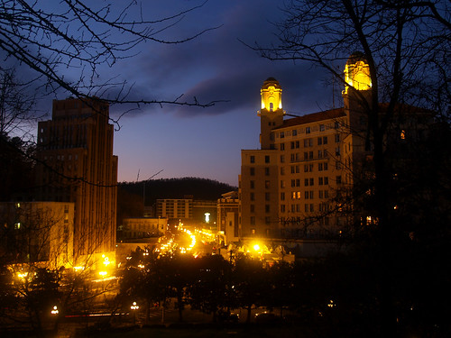
And finally I made one last stop, an overlook on a hill above the city. In this view, part of Bathhouse Row can be seen, along with the old Army and Navy Hospital. The Hot Springs Convention Center is the brightly lit building in the top right.
I didn't think to take pictures that could be put together for a panoramic shot at the time. I'll try that next time I'm down there. Here is one last shot, with a view looking down at Hot Springs: