Sadly, the camera hasn't had much use the past few weeks, though not for lack of trying. The weekend before last, I traveled up to Clarksville to take in a high school football game. Now I haven't been to a high school football game since, well, I was in high school. But I went to this game to watch my cousin, who plays for the Charleston Tigers, take on the Clarksville Panthers (it was a real cat fight!).
I got to the stadium, met up with some family members who made the trip there, and even got permission to stand on the sidelines to take pictures of the game. I got the camera out, turned it on, and discovered the big red letters saying "NO CARD." Turns out I had taken out the memory card for some wacky reason, and forgotten to put it back in the camera. And of course, I had no spare cards in the camera bag. So I just ended up in the stands watching the game, which Charleston won 39-28.
It was perhaps the longest football game I've ever sat through. The scoreboard wasn't working, so there was no way to keep track of time. The game officials seemed to have the same problem. The first quarter took over 45 minutes to get through, and the first half finished after a long hour and a half of gameplay. There really is so much high school football one can take, and I was happy when the game finally ended (especially since my cousin's team won, yay!).
But this past Saturday I made plans to meet up with Zack Andrews, another local photographer, to find a neat place to take pictures. Since we haven't had a hurricane pass through here lately, I didn't think waterfalls would be running all that well. A plan was then set to hit up the always awesome Collins Creek, which is one of the few places that has waterfalls year-round.
It was sunny on Saturday, not a cloud in the sky, so we had to wait until the sun set low enough to get good shots of the creek. To pass the time, we decided to hike the short Mossy Bluff trail, which presumably would take us by a bluff with lots of moss. Since we weren't entirely sure where the trail was at, we stopped at the Greers Ferry Lake visitor center, and annoyed the girl working the information desk when we asked for maps and directions.
The trail was supposed to start out next to the visitor center, and we started walking down a paved road that didn't seem to be the right way to go. So we retreated to the visitor center, annoying again the girl working the front desk (and clearly disrupting what was probably a very intense game of solitaire on her work computer). She walked outside and pointed to the trail head, marked with a large sign saying "Mossy Bluff Trail," and we continued on our way.
The trail was...ok. It was a pleasant hike, though it could have been much more dangerous:
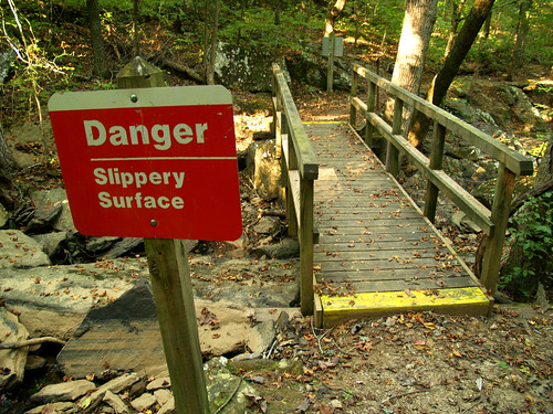
Luckily I didn't manage to slip on the treacherous bridge. The slipping would manage to occur later on that day at Collins Creek.
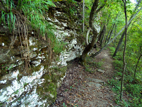
But the trail did eventually make it past some bluffs, which had moss!
The trail ended at a series of steep stairs leading up to an overlook of the Greers Ferry Lake Dam...
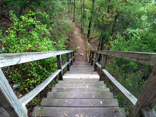
This was a bit anti-climactic, since we found out then that you could just drive out to the overlook instead of taking the mile long hike. Oh well. It was time to head off to Collins Creek anyways.
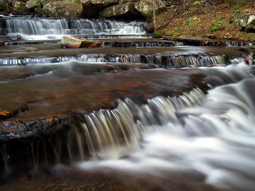
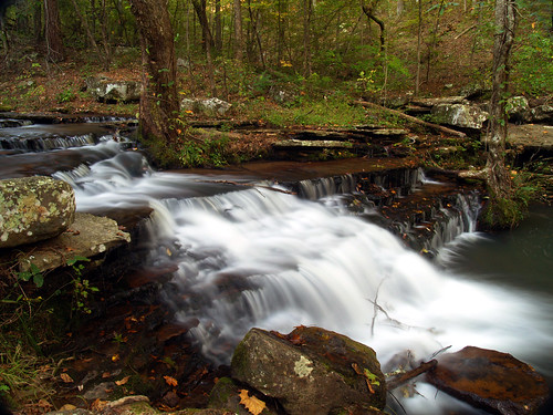
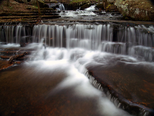
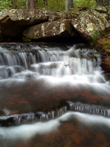
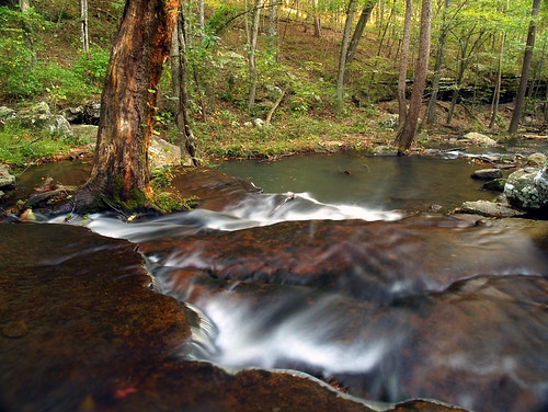
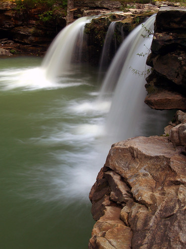
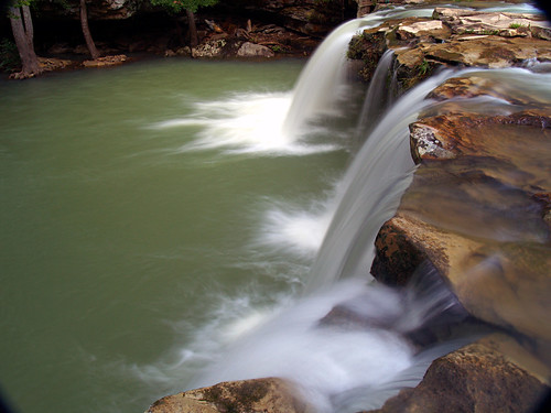
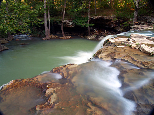
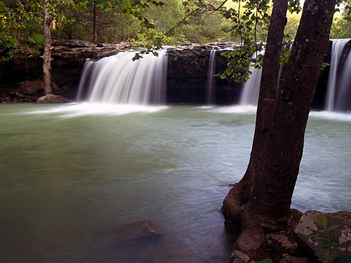
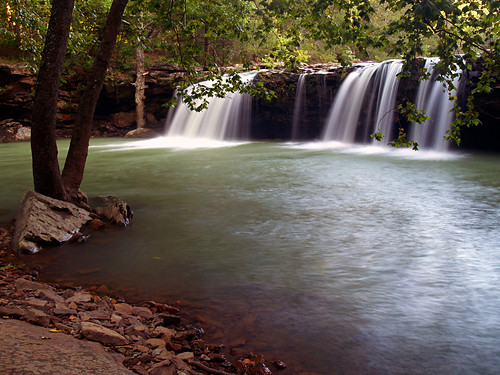
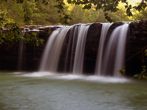
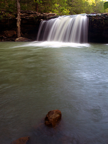
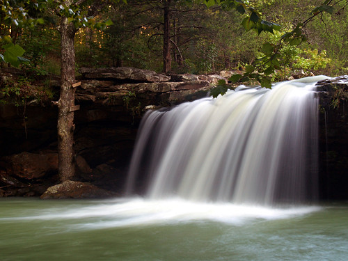
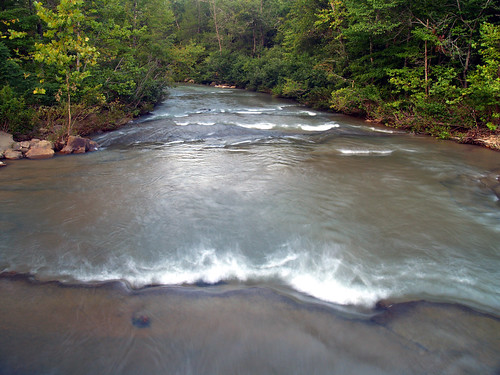
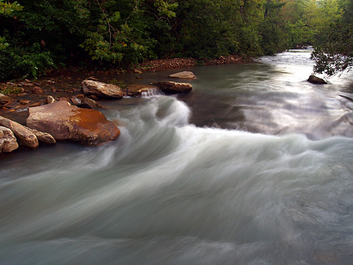
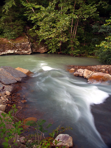
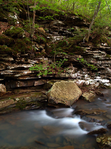
I love this place. Collins Creek has a nice steady of flow of water through it thanks to a pipe from Greers Ferry Lake. The purpose of it was to provide habitat for baby trout, but it also makes some awesome waterfalls.
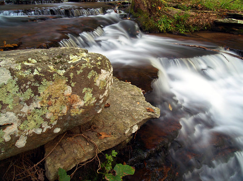
To get these photos, I took off my shoes and socks and walked out into the creek bare foot. Luckily the creek is very shallow, but it is quite cold.
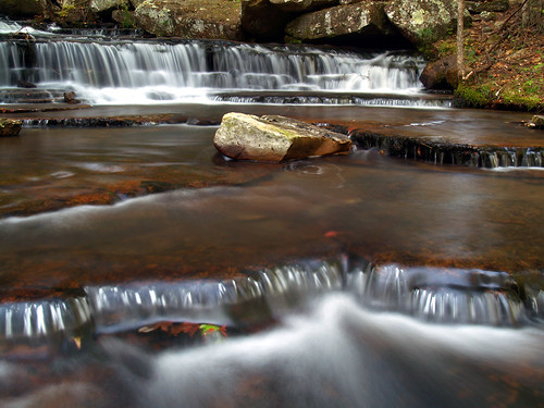
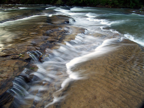
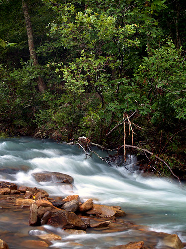
Collins Creek isn't all that long of a creek, but it does have so many different places to take pictures. I've been up there four times in the past 12 months, and there are still interesting new angles to shoot.
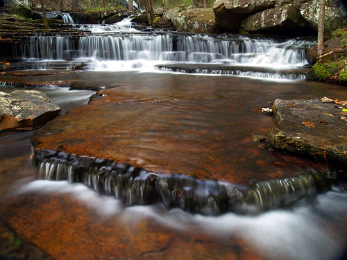
While I was standing in the creek taking pictures, Zack had traveled a bit further upstream, near the area where water gushes out of the pipe that helps to give Collins Creek its awesomeness. I put my shoes and socks back on and decided to head up and join him by the pipe. To get there would mean crossing the creek on a series of slick rocks, which I attempted and failed. I slid some, and ended up ankle-deep in water, soaking my shoes. Oh well, it made crossing the creek easier if you didn't mind getting your feet wet.
But all the times I'd been to Collins Creek, I tended to avoid the area around the pipe. The water gushing out of the pipe does make a nice waterfall, and I finally decided to include that into a picture. I tried to shoot it so that you couldn't tell that the water was flowing out of a pipe...
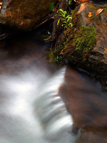
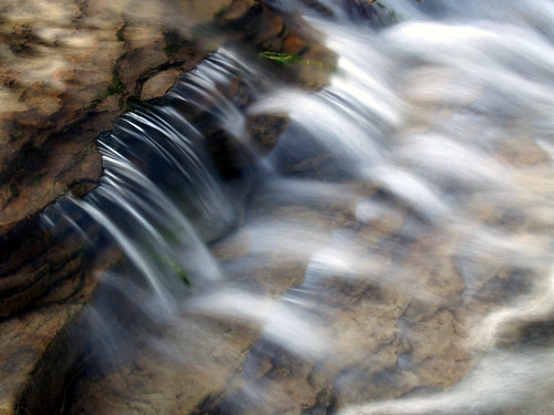
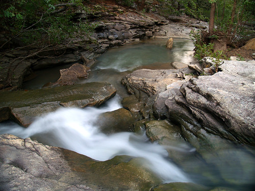
Along with waterfalls, Collins Creek has some great places to focus in on some interesting detail shots. A lot of mossy rocks set in the creek...
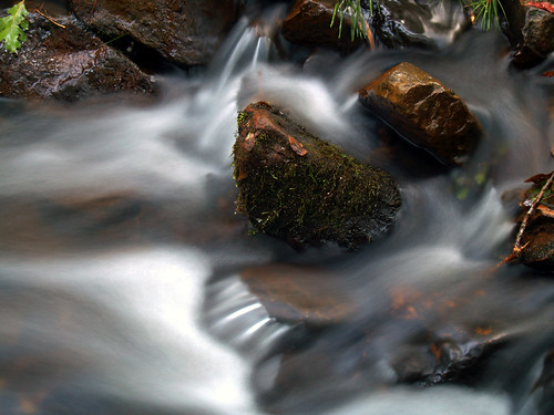
It was starting to get dark, but it was difficult to stop taking pictures of the creek. It really is an awesome place.
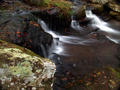
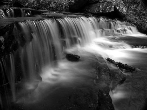
And the last shot of the day, converted to black and white:
The hike through the woods did show that fall is just around the corner - a lot of trees are just beginning to turn. And all the rain we have had this summer should mean spectacular fall colors this year. I'm already looking forward to a good autumn in the Ozarks and Ouachitas.
Monday, September 29, 2008
Sunday, September 14, 2008
2009 Small Works on Paper
A few months ago I submitted three pictures for consideration in next year's Small Works on Paper, a traveling exhibition that visits various galleries across the state. I'm happy to report that one of my photos made it in, a shot taken last November of Collins Creek:
This will be second time I've been included in SWOP, another waterfall shot toured in 2006. The exhibition is put together by the Arkansas Arts Council, part of the Department of Arkansas Heritage.
Mark your calenders, here's the touring schedule:
January - The Fine Arts Center, Hot Springs
February - North Arkansas College, Harrison
March - Northwest Arkansas Community College, Bentonville
April - Ozark Heritage Arts Center, Leslie
May - Fort Smith Arts Center, Fort Smith
June - ASU Heber Springs
July/August - Arkansas Studies Institute, Little Rock
August/September - Delta Cultural Center, Helena
October - Arts Center of the Grand Prairie, Stuttgart
November - Texarkana Regional Arts & Humanities Council
Wednesday, September 10, 2008
Falling Water Creek
After a few days of heavy rains from the remnants of Hurricane Gustav, there was plenty of water around to make some cool waterfalls. The only problem - it was going to be sunny all weekend, which isn't good for waterfall pictures. I made up a plan: I would head up to the Ozark National Forest and hike the trails at Pedestal Rocks and Kings Bluff, then head over to Falling Water Creek to get some waterfall pictures when the sun sank low enough to put the creek in shadow. Like all of my plans, it didn't quite turn out as expected.
I ended up leaving later then I planned, and the drive took much longer than normal all thanks to Gustav. The heavy rains last week washed away a section of Hwy. 7 north of Russellville, so now you have to take a 60-mile detour to avoid it. I didn't have time to hike the 4 miles of trail at Pedestal Rocks and Kings Bluff, and just ended up going to Falling Water Creek.
Now Falling Water Creek might just be the most obviously named waterway in the state. The creek has a lot of falling water in it, so it does live up to its name. Also, Falling Water Drive follows the creek, passing by several waterfalls that are within view of the road. Readers of this site (all 2 of you) might remember my misadventures along here in February when I stopped there on my failed mission to reach Twin Falls at Richland Creek.
The highlight of the creek, and the first really scenic spot is the aptly named Falling Water Falls.
The falls are about 12 feet tall, and the area is also a popular swimming hole. I managed to catch it when it wasn't too crowded.
And a view looking down from the top of the falls. People were jumping off the bluff into the pool, which I'm not brave enough to try.
And some shots from below the falls. The falls were running well, which is amazing since we never have waterfalls here in the summer.
I loved that the sun was still hitting the trees in the back, and it really shows in this shot:
After that I headed back onto the road and tried to remember the places that I had stopped at on my last trip. I tried to squeeze my car to the side of the narrow road and went to this one spot, where a series of small waterfalls seem to stretch across the entire width of the creek. I think it was here that I managed to go right through some poison ivy, making me all nice and itchy now.
And some detail on one of the little waterfalls:
Falling Water Road is closed a few miles from here after a landslide in March, which the Forest Service hasn't been able to clear away. But there was just one last waterfall along the creek that was still in reach, Six Finger Falls. I got there to see, in horror, that people were camping at the falls. Not along the shore next to the falls, but actually on the rocks right on top of the falls. While a scenic spot for sure, I can't imagine it being a great place to camp. The roar of the water would be sure to keep you awake at night. But it was way inconsiderate to camp there since it means that no one else gets to see the falls. It's probably against Forest Service rules to camp near waterfalls, especially practically on top of one.
So I sadly turned around and tried to find a few more places to take pictures along the creek. Near a bridge over the creek, I stopped by where a couple was fishing. They looked at me a bit suspiciously as I walked by with the camera bag and tripod. "What are you taking pictures of?" they asked, acting like it was odd for someone to be out there. I said I was just taking pictures of the creek, to which they smiled and said "well it sure is pretty!" Well yeah.
Walking back to my car a guy in a truck stopped on the side of the road and also asked me what I was out there taking pictures of. "For fun, dammit" I wanted to say. Next time somebody asks I'm just going to say that I work for National Geographic. But then he started talking about waterfalls, and asked if Six Finger Falls was the place where those yahoos were camping. He said that Six Finger were the falls he really wanted to see, but he didn't want to stroll right up into camp and disturb the idiots there. As we were talking I noticed that he had an open 22-ounce Miller Lite sitting in his truck's cupholder, which was amusing/scary.
But here is the view of Falling Water Creek from the bridge, hurriedly taken before any cars would come by and ask me why I was taking pictures.
It was starting to get late, so there weren't too many other stops.
As the light was starting to fade, I stopped by this creek that flows into Falling Water Creek, just downstream from Falling Water Falls. As I was taking pictures there, my Miller Lite buddy drove by and gave a nice friendly wave.
And this was on that same creek, just about 20 feet from the above picture.
Now it was getting too dark, so I headed towards home. There was a nice sunset, but I couldn't find a good place to stop and get a picture. It ended up taking much longer to get home, thanks to a car from Iowa who decided to drive 35 mph down the road (must not be used to curves).
Most of the high water is gone now, but another hurricane is churning in the gulf, which might bring some more rain by next weekend...
Saturday, September 6, 2008
Taking pictures with Gustav
After Hurricane Gustav played nice and missed New Orleans, it decided to drift up and sit over Arkansas for the next couple of days.
I woke on Tuesday morning to lots of rain, and thought of waterfalls. If only I didn't have to work, I could go stand in the woods taking pictures (the idiocy of taking pictures in a tropical storm didn't quite hit me then). So I sadly drove to work, only to find that the building was without power. Turns out the storm had managed to knock out power for a little area of west Little Rock, including the place where I work (and also, ironically, a nearby church that was a shelter for Gustav evacuees).
After sitting in the dark with nothing to do for a few hours, the bosses said that we could all go home for the day. We just had to sit by our phone in case the power came back on. But at that time it seemed unlikely, since someone had said that the building might be without power for 48 hours, since the Electric Department had sent all of their crew to Louisiana.
I was happy, and started thinking about which waterfalls I would try to visit. I got home, goofed off a bit and started packing up the camera gear. Just as I was literally about to walk out the door, I got a call from my boss. "The power is back on, come back to work." Crap.
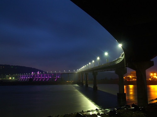
But after work that night I went out to the Big Dam Bridge to see what it looked like with Gustav hanging around. It might sound a bit crazy to be out there taking pictures (it was), but there was one person out walking on the bridge while it was pouring down rain.
I went to a place under the bridge that I thought would be good, since it was protected from the wind and rain. I was right by a pillar, which meant I didn't get soaked while out there. The only bad thing was that I had to deal with skunks.
Some Good Samaritan had set out some dry cat food next to the bridge. This turned out to be a rainy-day dinner for skunks, who were just a few feet away from where I was taking pictures. This scared the crap out of me. I did have the bridge pillar to hide behind, but I would peek around it and see the skunk staring right back at me.
After a few minutes the skunk left, but was replaced by another one. I looked over and saw once that it was pointing its back end at me, and I dove away in fright. It may have been my imagination, but I thought I smelled that nice aroma of skunk spray a few times after that, but I never got a full blast. When I decided to leave, I took the long way back to my car and avoided the skunk, getting soaked in the rain from the longer walk back to the car...
But here is a shot of the Big Dam Bridge, with the rains from Gustav pouring down. There is a little waterfall coming off the bridge, where it curves in the right of the picture, from all the water running off...
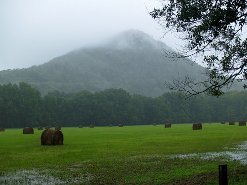
It was still pouring down rain the next day, so after I work I headed out to Pinnacle Mountain. I tried to go to the area at the base of the mountain, but it was closed because of high water. So I went down the road and got this shot of Pinnacle from someone's driveway.
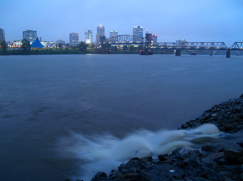
After that I headed towards downtown Little Rock. I thought about trying to get a shot of the skyline and the Junction Bridge with the rain. I got there and didn't really like it that much. I had just shot some pictures from the same vanatage point a few months ago (and also in pouring rain), so I wasn't feeling this as a good place for pictures. I did get this shot of the skyline with a "waterfall" of sorts, from a drainage pipe dumping all the rainwater into the river.
I drove around for a bit, not really finding a good place to get pictures. I settled on a parking deck, which provides some decent views of the skyline. I was hesitant to go up there since I had taken some pictures there last year, and I felt like I was repeating myself (and I was also probably trespassing up there). But the parking deck did provide cover from the rain, so I headed up there anyways.
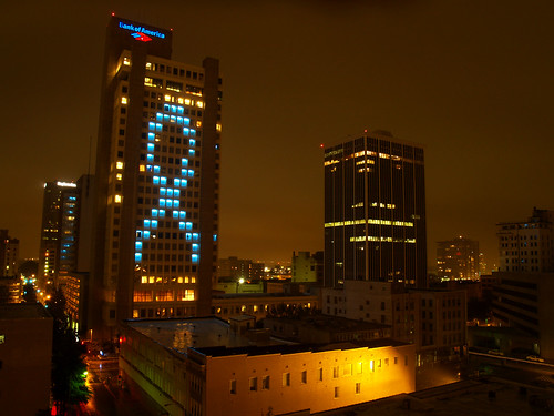
The building on the left is the Bank Of America building, which occasionally has lights up in various designs for special occasions. I have no clue what the blue ribbon symbolizes. Last time I took a picture there it had a Christmas tree on it:
And the sun finally came out yesterday, and I thought a neat sunset might develop in the lingering clouds from the storm. After work I grabbed the camera and rushed out to the Big Dam Bridge to try to get a few shots. The sunset didn't turn out to be as neat as I had hoped...
But the heavy rains of the past few days had managed to raise the river a good ten feet since Tuesday. I'm going to try to hit some waterfalls on the weekend, since they should be running nicely after all that rain. The only problem, it's going to be sunny.